Coplow Dale
Settlement in Derbyshire Derbyshire Dales
England
Coplow Dale
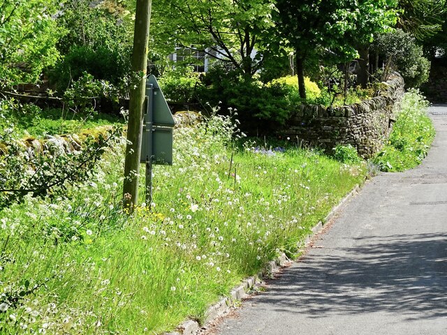
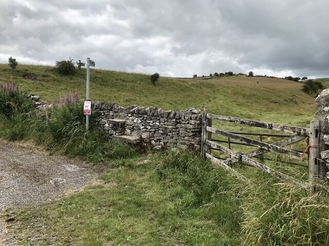
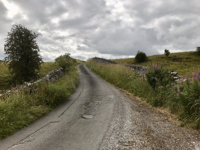
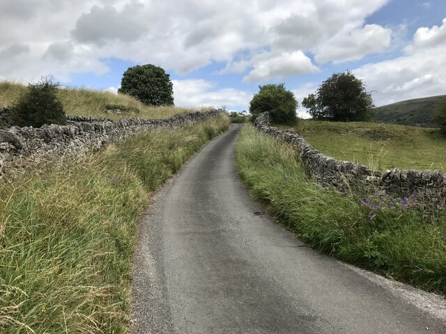
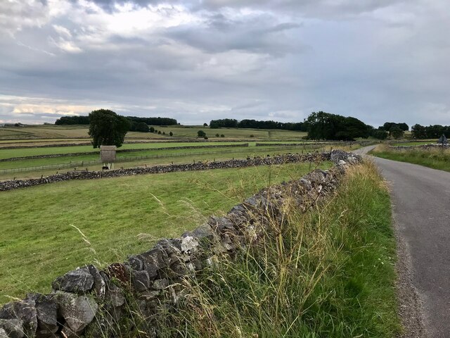
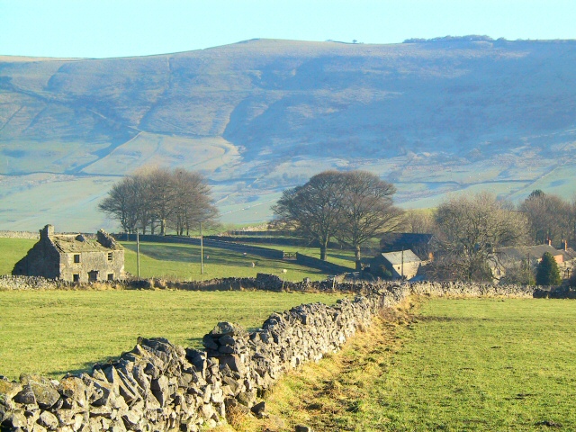
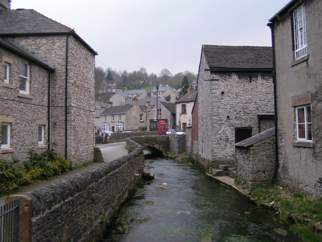
Coplow Dale is a picturesque valley located in the county of Derbyshire, England. Nestled within the Peak District National Park, this idyllic location is renowned for its natural beauty and tranquil atmosphere. With its verdant meadows, rolling hills, and meandering streams, Coplow Dale offers a haven for nature enthusiasts and outdoor enthusiasts alike.
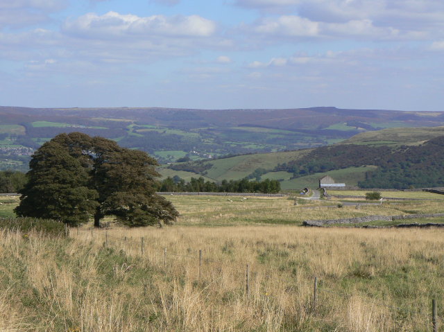
The dale is characterized by its diverse range of flora and fauna, making it an ideal spot for wildlife spotting and birdwatching. Visitors may encounter various species of birds such as curlews, lapwings, and skylarks, as well as mammals like hares and foxes. The area is also home to several rare plant species, adding to its ecological significance.
In addition to its natural wonders, Coplow Dale boasts a network of well-maintained footpaths and trails, allowing visitors to explore the area at their own pace. Hiking and cycling are popular activities, offering visitors the opportunity to immerse themselves in the stunning surroundings while enjoying the fresh country air.
For those seeking a peaceful retreat, Coplow Dale offers numerous picnic spots and quiet areas for relaxation. The babbling brooks and serene meadows provide a serene backdrop, making it an ideal place for a leisurely day out or a family picnic.
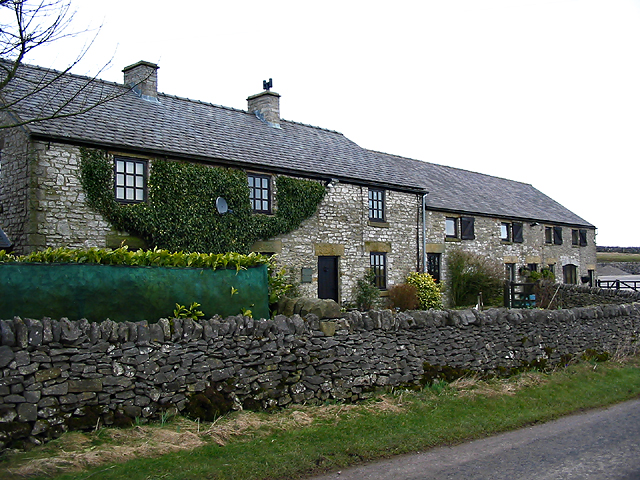
Overall, Coplow Dale is a hidden gem within Derbyshire, offering visitors an escape from the bustling city life. Its natural beauty, diverse wildlife, and peaceful ambiance make it a must-visit destination for those seeking solace in nature.
If you have any feedback on the listing, please let us know in the comments section below.
Coplow Dale Images
Images are sourced within 2km of 53.307682/-1.756844 or Grid Reference SK1679. Thanks to Geograph Open Source API. All images are credited.


Coplow Dale is located at Grid Ref: SK1679 (Lat: 53.307682, Lng: -1.756844)
Administrative County: Derbyshire
District: Derbyshire Dales
Police Authority: Derbyshire
What 3 Words
///bunks.absorb.paddock. Near Tideswell, Derbyshire
Nearby Locations
Related Wikis
Coplow Dale
Coplow Dale (or Coplowdale) is a small settlement in the civil parish of Little Hucklow, Derbyshire, England. == External links == Coplow Dale at Streetmap...

Hazlebadge
Hazlebadge is a civil parish within the Derbyshire Dales district, in the county of Derbyshire, England. Largely rural, Hazlebadge's population is reported...

Little Hucklow
Little Hucklow is a village and civil parish in Derbyshire. Whilst it is a separate civil parish in the Derbyshire Dales District, the Parish Council...

Deadman's Clough
Deadman's Clough is a stream in the civil parish of Hazlebadge in the Derbyshire Peak District. The stream rises to the south of Bradwell, where it meets...

Great Hucklow
Great Hucklow (Old English Hucca's burial mound) is a village and civil parish in the Derbyshire Peak District which is under Hucklow Edge between the...
Grindlow
Grindlow is a farming hamlet of a dozen or so houses that nestles under Hucklow Edge in the Derbyshire Peak District. Although it is a separate civil parish...
Bradwell Moor
Bradwell Moor is a moorland hill above the village of Bradwell, Derbyshire in the Peak District. The summit is 471 metres (1,545 ft) above sea level.Batham...
Bradwell, Derbyshire
Bradwell is a village and civil parish in the Derbyshire Peak District of England. The population of the civil parish taken at the 2011 Census was 1,416...
Nearby Amenities
Located within 500m of 53.307682,-1.756844Have you been to Coplow Dale?
Leave your review of Coplow Dale below (or comments, questions and feedback).