Borrowdale Wood
Wood, Forest in Westmorland South Lakeland
England
Borrowdale Wood

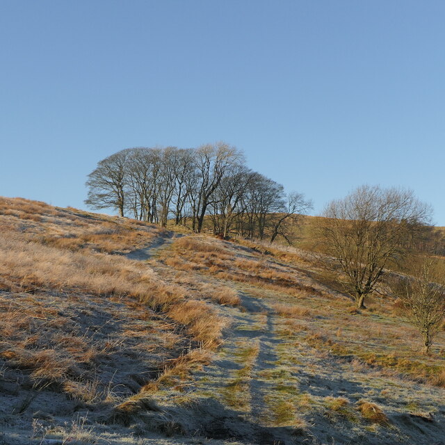
Borrowdale Wood is a picturesque woodland situated in the county of Westmorland, England. Spanning over a vast area, the wood is a part of the larger Borrowdale Forest, which covers several square miles of land. The wood is located near the village of Borrowdale, which is renowned for its stunning natural scenery and tranquil atmosphere.
This ancient woodland is characterized by its diverse range of tree species, including oak, beech, ash, and birch. The trees create a dense canopy, providing shade and shelter for a variety of wildlife. The forest floor is covered in a thick carpet of moss, ferns, and wildflowers, adding to the enchanting beauty of the wood.
Borrowdale Wood is a haven for nature enthusiasts and walkers, offering a network of well-maintained paths that wind their way through the forest. These pathways provide visitors with the opportunity to explore the wood's hidden corners, discover secluded glades, and enjoy breathtaking views of the surrounding countryside.
The wood is also home to an array of wildlife, making it a popular spot for birdwatching and wildlife observation. Visitors may catch a glimpse of elusive creatures such as red squirrels, roe deer, and various species of woodland birds.
Borrowdale Wood attracts visitors all year round, with each season offering its own unique charm. In spring, the wood bursts into life with blossoming flowers and the arrival of migratory birds. Summer brings a vibrant green canopy and the chance to spot fledglings. Autumn transforms the wood into a tapestry of golden hues, while winter offers a peaceful and serene landscape, often dusted with a light covering of snow.
Overall, Borrowdale Wood in Westmorland is a captivating destination that showcases the natural beauty and biodiversity of the British countryside.
If you have any feedback on the listing, please let us know in the comments section below.
Borrowdale Wood Images
Images are sourced within 2km of 54.406619/-2.6125935 or Grid Reference NY6001. Thanks to Geograph Open Source API. All images are credited.


Borrowdale Wood is located at Grid Ref: NY6001 (Lat: 54.406619, Lng: -2.6125935)
Administrative County: Cumbria
District: South Lakeland
Police Authority: Cumbria
What 3 Words
///speeded.sadly.toolbar. Near Sedbergh, Cumbria
Nearby Locations
Related Wikis
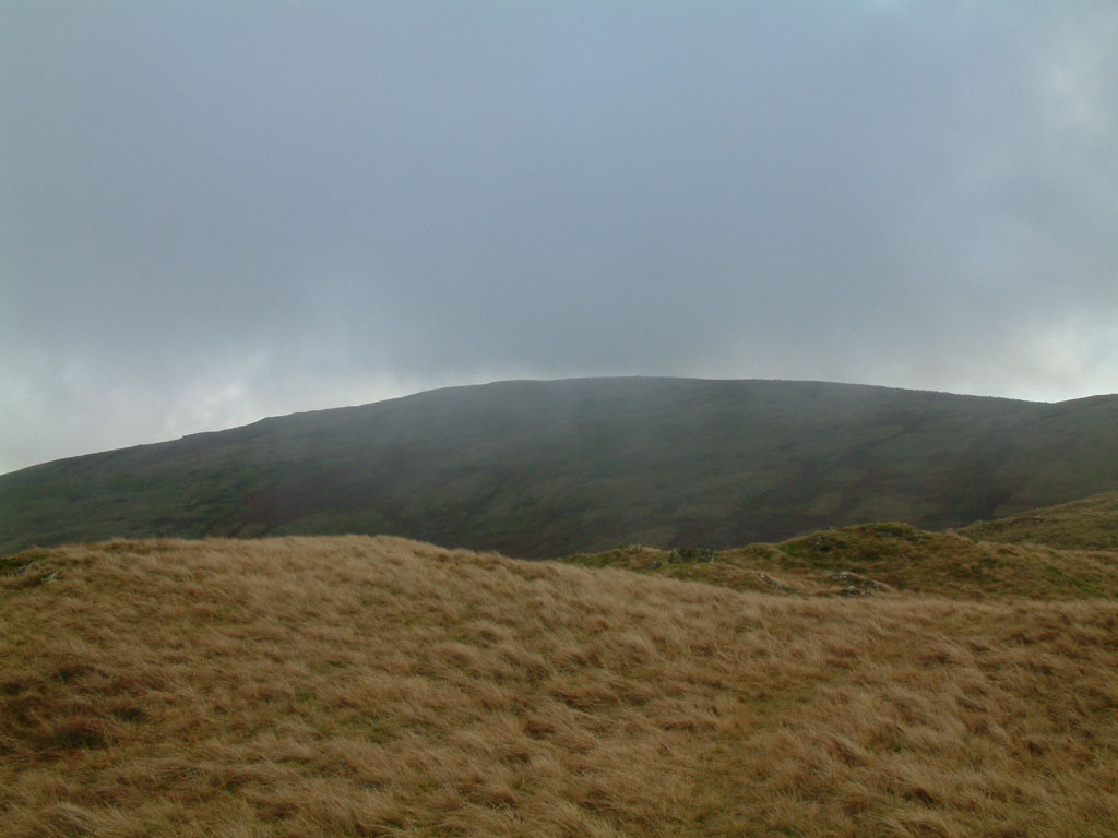
Grayrigg Forest
Grayrigg Forest is a hill in Cumbria, England, located on the eastern edge of what might be considered the Lake District. In August 2016 it became part...

Tebay rail accident
The Tebay rail accident occurred when four railway workers working on the West Coast Main Line were killed by a runaway wagon near Tebay, Cumbria, England...

Roundthwaite
Roundthwaite is a small village in Cumbria, England. It is located about a mile south west of Tebay, is part of the Tebay parish, and the majority of its...

Tebay railway station
Tebay railway station was situated on the Lancaster and Carlisle Railway (L&CR) (part of the West Coast Main Line) between Lancaster and Penrith. It served...
Nearby Amenities
Located within 500m of 54.406619,-2.6125935Have you been to Borrowdale Wood?
Leave your review of Borrowdale Wood below (or comments, questions and feedback).