Birknab Wood

Wood, Forest in Cumberland Eden

England

Birknab Wood

Repurposed telephone box in Gamblesby With the ubiquity of the mobile phone, telephone boxes all over the UK have become redundant though many have found new uses. As here in Gamblesby, a storage location for defibrillators is a common one.
Repurposed telephone box in Gamblesby Credit: Trevor Littlewood

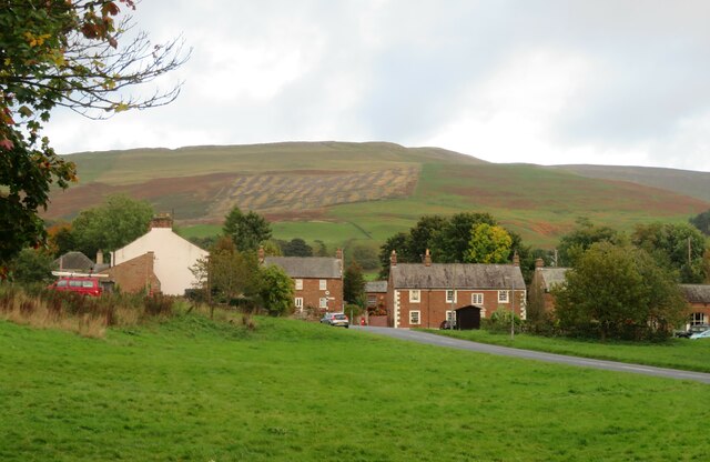
Birknab Wood is a picturesque forest located in the county of Cumberland, England. Covering an area of approximately 200 acres, this woodland is known for its remarkable natural beauty and diverse range of flora and fauna. Situated in the heart of the Lake District National Park, Birknab Wood offers visitors a tranquil retreat away from the hustle and bustle of city life.

The wood is primarily composed of native broadleaf trees, including oak, beech, and birch, which create a dense canopy that provides shade and shelter to the woodland floor. These trees offer a home to a wide array of wildlife, such as squirrels, badgers, and numerous bird species, including woodpeckers and owls.

As visitors explore the wood, they will come across a network of well-maintained footpaths that wind through the trees, providing an opportunity to immerse oneself in nature. The paths are lined with wildflowers, adding a burst of color to the scenery during the spring and summer months.

Birknab Wood is a popular destination for outdoor enthusiasts, offering a range of activities such as walking, hiking, and birdwatching. Nature lovers can marvel at the breathtaking vistas and may even catch a glimpse of some rare and endangered species that call this woodland home.

Overall, Birknab Wood is a captivating forest that showcases the beauty of Cumberland's natural landscape. Its tranquil ambiance, diverse wildlife, and well-preserved ecosystem make it a must-visit destination for those seeking a peaceful and immersive experience in nature.

If you have any feedback on the listing, please let us know in the comments section below.
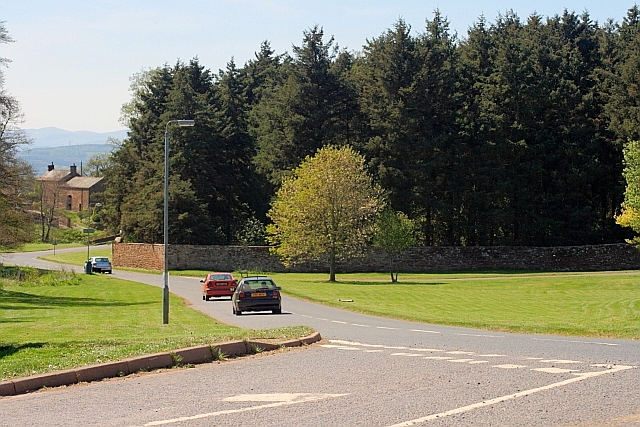
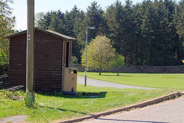
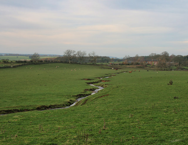
Birknab Wood Images

Images are sourced within 2km of 54.732081/-2.6180542 or Grid Reference NY6037. Thanks to Geograph Open Source API. All images are credited.
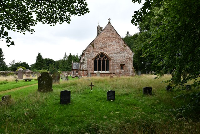
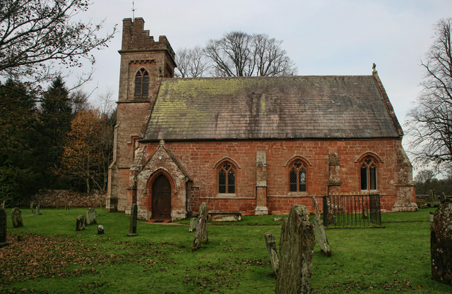
Repurposed telephone box in Gamblesby With the ubiquity of the mobile phone, telephone boxes all over the UK have become redundant though many have found new uses. As here in Gamblesby, a storage location for defibrillators is a common one.
Repurposed telephone box in Gamblesby
With the ubiquity of the mobile phone, telephone boxes all over the UK have become redundant though many have found new uses. As here in Gamblesby, a storage location for defibrillators is a common one.
Public way leaving Gamblesby The walled lane leaves Gamblesby and heads almost exactly to the east, climbing to meet the A686. Here, the 'public way', (which on OS mapping uses the map symbol for a  byway), is emerging from overarching trees.
Public way leaving Gamblesby
The walled lane leaves Gamblesby and heads almost exactly to the east, climbing to meet the A686. Here, the 'public way', (which on OS mapping uses the map symbol for a byway), is emerging from overarching trees.
Grassy way separating fields near Gamblesby The fields both appear to be of stubble so presumably the growth in them not an intended crop. The red tinge is due to extensive amounts of red leg - Persicaria maculosa.
Grassy way separating fields near Gamblesby
The fields both appear to be of stubble so presumably the growth in them not an intended crop. The red tinge is due to extensive amounts of red leg - Persicaria maculosa.
Across the green at Melmerby If travelling east on the A686 from Penrith, Melmerby is the last village in the Vale of Eden before the long climb to Hartside Cross. The view is east across the village green with the western flank of the Pennines in the background.
Across the green at Melmerby
If travelling east on the A686 from Penrith, Melmerby is the last village in the Vale of Eden before the long climb to Hartside Cross. The view is east across the village green with the western flank of the Pennines in the background.
Church of St John the Baptist, Melmerby Not a very interesting looking church from the outside, and Pevsner [Buildings of England - Cumberland & Westmorland] describes it in just 7 lines, but even he seemed unsure if most of the building is of 1849 or 1895.
Church of St John the Baptist, Melmerby
Not a very interesting looking church from the outside, and Pevsner [Buildings of England - Cumberland & Westmorland] describes it in just 7 lines, but even he seemed unsure if most of the building is of 1849 or 1895.
Signpost in Gamblesby Cumbria has done well to retain many of the old cast iron Cumberland county council signposts, such as this one in Gamblesby.
Signpost in Gamblesby
Cumbria has done well to retain many of the old cast iron Cumberland county council signposts, such as this one in Gamblesby.
OS benchmark OS benchmark on corner of private house.  Melmerby House
OS benchmark
OS benchmark on corner of private house. Melmerby House
Vardo on the village green Vardo/gypsy caravan on Melmerby village green
Vardo on the village green
Vardo/gypsy caravan on Melmerby village green
Melmerby: Townhead Court
Melmerby: The Shepherds Inn PH
Melmerby: Church Road
Melmerby, St. John the Baptist's Church: Eastern aspect
Shepherds Inn, Melmerby
A686 at Melmerby Looking west towards Penrith.
A686 at Melmerby
Looking west towards Penrith.
Bus Stop, Melmerby Village Green
Holm Beck Holm Beck near Melmerby.
Holm Beck
Holm Beck near Melmerby.
St John the Baptist's Church St John the Baptist's Church in Melmerby.
St John the Baptist's Church
St John the Baptist's Church in Melmerby.
Stank Bridge The A686 crossing Sunnygill Beck at Stank Bridge.
Stank Bridge
The A686 crossing Sunnygill Beck at Stank Bridge.
Show me another place!

Birknab Wood is located at Grid Ref: NY6037 (Lat: 54.732081, Lng: -2.6180542)

Administrative County: Cumbria

District: Eden

Police Authority: Cumbria

What 3 Words

///booster.kilt.copiers. Near Penrith, Cumbria

Related Wikis

Nearby Amenities

Located within 500m of 54.732081,-2.6180542
Turnmoor Head Woods (N bound)
Local Ref: AT
Naptan AtcoCode: 090074541395
Naptan Bearing: E
Naptan BusStopType: CUS
Naptan CommonName: Turnmoor Head Woods (N bound)
Naptan Indicator: at
Naptan Landmark: Broadmeadows road end
Naptan NaptanCode: cumdawad
Naptan Street: A686
Naptan Verified: no
Source: naptan_import
Lat/Long: 54.7281312/-2.6162888
Turnmoor Head Woods (S bound)
Local Ref: AT
Naptan AtcoCode: 090074543655
Naptan Bearing: SW
Naptan BusStopType: CUS
Naptan CommonName: Turnmoor Head Woods (S bound)
Naptan Indicator: At
Naptan Landmark: Broadmeadows road end
Naptan NaptanCode: cumdawap
Naptan Street: No name
Naptan Verified: no
Source: naptan_import
Lat/Long: 54.7279884/-2.6160848
Power: pole
Lat/Long: 54.7299226/-2.6243762
Power: pole
Lat/Long: 54.7303522/-2.6234556
Power: pole
Lat/Long: 54.7310993/-2.6219348
Power: pole
Lat/Long: 54.7319527/-2.6207771
Power: pole
Lat/Long: 54.7295556/-2.6230823
Power: pole
Lat/Long: 54.7291915/-2.6218263
Power: pole
Lat/Long: 54.72889/-2.6207216
The data included in this document is from www.openstreetmap.org. The data is made available under ODbL.

Have you been to Birknab Wood?

Leave your review of Birknab Wood below (or comments, questions and feedback).