Old Park
Wood, Forest in Westmorland South Lakeland
England
Old Park
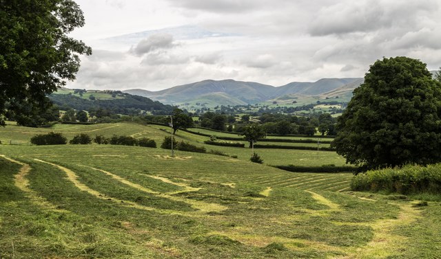
Old Park is a small woodland area located in the picturesque region of Westmorland, England. Situated amidst the stunning landscapes of the Lake District National Park, this forested area is a haven for nature enthusiasts and those seeking tranquility away from the bustling city life.
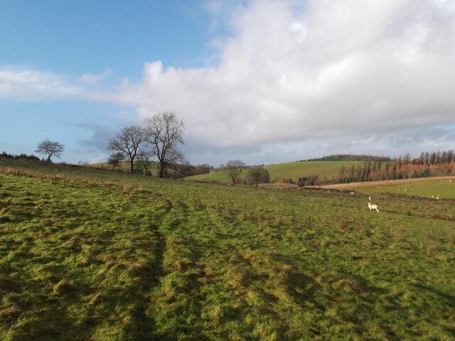
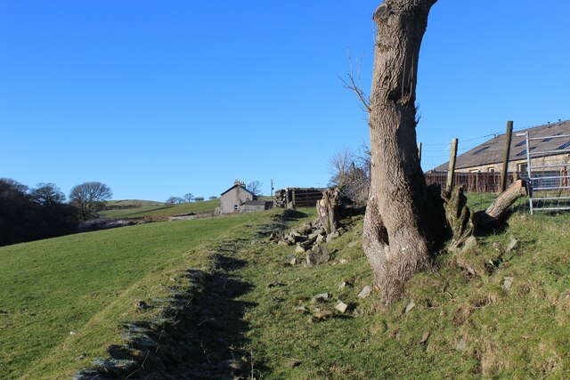
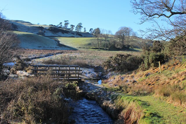
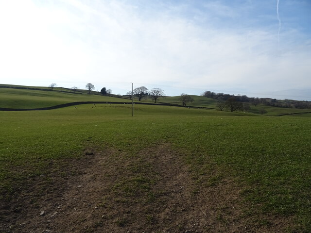
Covering an area of approximately 100 acres, Old Park is characterized by its dense canopy of mature trees, including majestic oak, beech, and ash trees. These towering giants create a sense of serenity and provide a home to a diverse range of wildlife, making it an ideal spot for birdwatching and wildlife spotting.
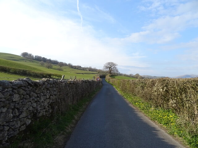
The forest floor is adorned with a rich carpet of wildflowers, ferns, and mosses, adding to the overall charm and natural beauty of the area. Walking trails wind through the woodland, allowing visitors to explore the various habitats and enjoy the soothing sounds of nature.
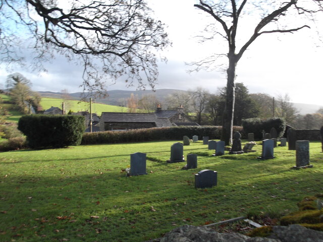
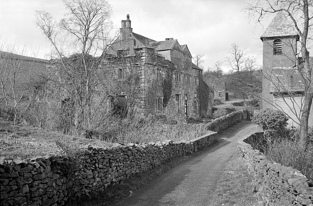
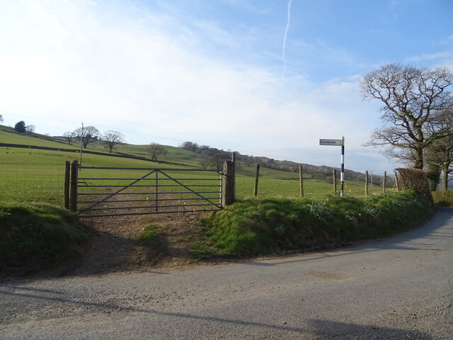
Old Park is known for its historical significance, with remnants of ancient settlements dating back to the medieval period. The area has witnessed human activity for centuries, and visitors can still find traces of old stone walls and boundary markers, adding an element of intrigue and mystery to the woodland.
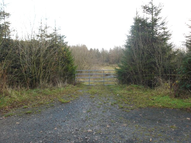
The forest is managed by the local authorities to preserve its ecological balance and protect its biodiversity. As a result, access to the woodland is carefully controlled to ensure the preservation of its natural state.
Old Park, Westmorland offers a serene escape into nature, where visitors can immerse themselves in the beauty of the woodlands and experience the tranquility that only a place like this can offer.
If you have any feedback on the listing, please let us know in the comments section below.
Old Park Images
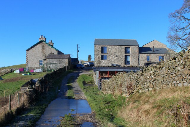
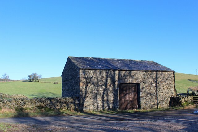
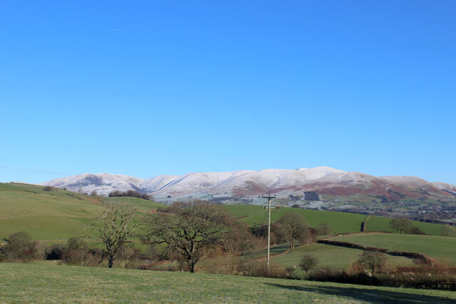
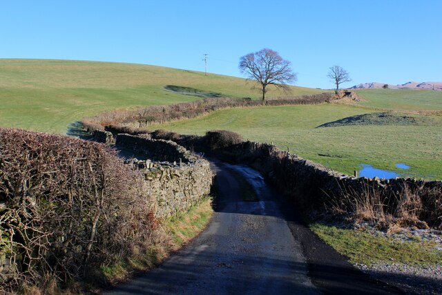
Images are sourced within 2km of 54.300465/-2.6118917 or Grid Reference SD6089. Thanks to Geograph Open Source API. All images are credited.


Old Park is located at Grid Ref: SD6089 (Lat: 54.300465, Lng: -2.6118917)
Administrative County: Cumbria
District: South Lakeland
Police Authority: Cumbria
What 3 Words
///superhero.ledge.asset. Near Sedbergh, Cumbria
Nearby Locations
Related Wikis

Killington, Cumbria
Killington is a village and civil parish in the South Lakeland district of the county of Cumbria, England. It had a population of 152 in 2001, At the...

Killington Lake Services
Killington Lake Services is a motorway service station on the M6 motorway between Junctions 37 and 36 near Killington Lake in Cumbria, England. It was...

Beckside
Beckside is a village in Cumbria, England.

River Rawthey
The River Rawthey is a river in Cumbria in northwest England. The headwaters of the Rawthey are at Rawthey Gill Foot, where Rawthey Gill meets Haskhaw...
Nearby Amenities
Located within 500m of 54.300465,-2.6118917Have you been to Old Park?
Leave your review of Old Park below (or comments, questions and feedback).