Banbury Covert
Wood, Forest in Shropshire
England
Banbury Covert
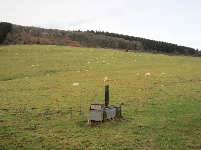
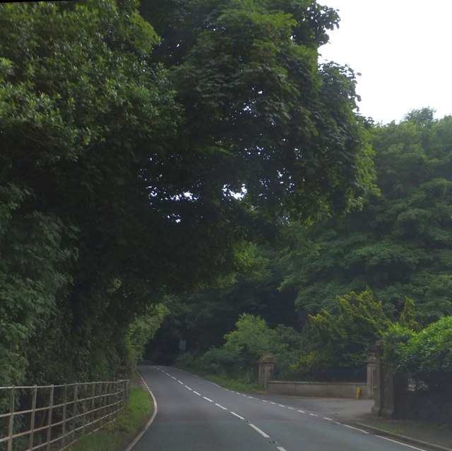
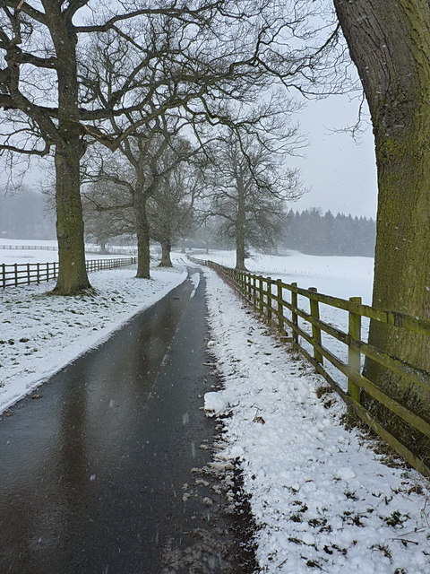
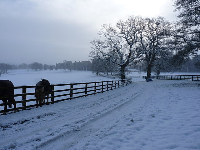
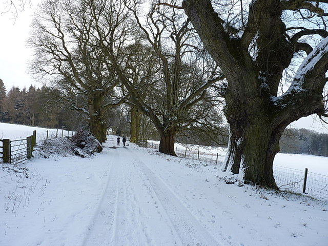
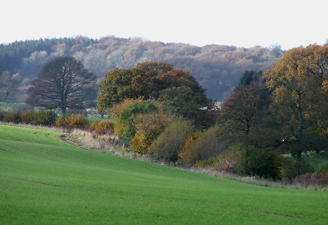
Banbury Covert is a picturesque woodland located in the county of Shropshire, England. Situated near the town of Shrewsbury, it covers an area of approximately 50 acres and is home to a diverse range of flora and fauna.
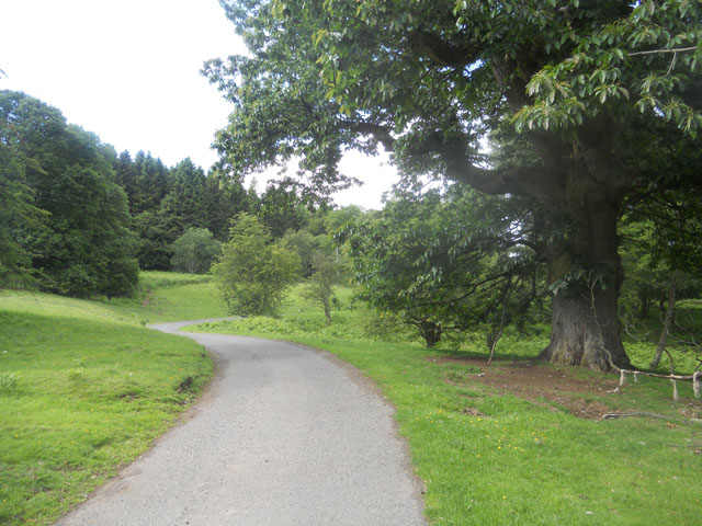
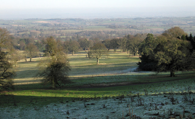
The woodland consists mainly of deciduous trees, including oak, ash, and birch, which create a stunning canopy during the summer months. The forest floor is adorned with a carpet of bluebells in the spring, creating a breathtaking display of color. The varied terrain of Banbury Covert includes gentle slopes, meandering streams, and small clearings, providing a rich habitat for a multitude of wildlife.
Nature enthusiasts visiting Banbury Covert may be fortunate enough to spot a variety of bird species, such as woodpeckers, buzzards, and tawny owls. The woodland is also home to a thriving population of mammals, including deer, foxes, and badgers. Additionally, visitors may encounter smaller creatures such as squirrels, rabbits, and hedgehogs.
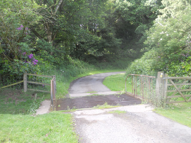
The woodland is a popular destination for outdoor activities such as hiking, nature walks, and birdwatching. There are well-maintained trails that lead visitors through the forest, offering opportunities to immerse oneself in the tranquility of nature. The lush surroundings provide an ideal setting for picnics and family outings.
Banbury Covert is a haven for those seeking solace in nature and provides a serene escape from the hustle and bustle of daily life. Its natural beauty and abundant wildlife make it a cherished destination for both locals and tourists alike.
If you have any feedback on the listing, please let us know in the comments section below.
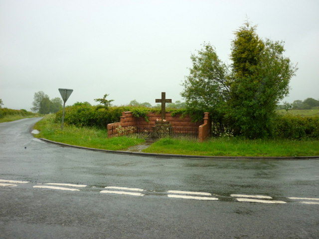
Banbury Covert Images
Images are sourced within 2km of 52.454463/-2.5874341 or Grid Reference SO6084. Thanks to Geograph Open Source API. All images are credited.


Banbury Covert is located at Grid Ref: SO6084 (Lat: 52.454463, Lng: -2.5874341)
Unitary Authority: Shropshire
Police Authority: West Mercia
What 3 Words
///laminate.imperious.glove. Near Cleobury Mortimer, Shropshire
Nearby Locations
Related Wikis
Loughton, Shropshire
Loughton is a village and former civil parish, now in the parish of Wheathill, in Shropshire, England. In 1961 the parish had a population of 48.It is...

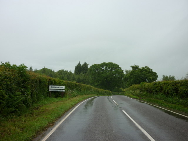
Burwarton
Burwarton is a small village and civil parish in Shropshire, England. Local governance is provided through the 'grouped' Parish Council for Aston Botterill...

Brown Clee Hill
Brown Clee Hill is the highest hill in the rural English county of Shropshire, at 540 metres (1,770 ft) above sea level. It is one of the Clee Hills,...

Nordy Bank
Nordy Bank is an Iron Age hill fort on Brown Clee Hill in the Shropshire Hills Area of Outstanding Natural Beauty in South Shropshire, England. == Location... ==

Aston Botterell
Aston Botterell is a village and small civil parish in the county of Shropshire, West Midlands, England. The village lies 8 miles (13 km) south-west of...

Wheathill, Shropshire
Wheathill is a village and civil parish 21 miles (34 km) south east of Shrewsbury, in the Shropshire district, in the ceremonial county of Shropshire,...

Cleobury North
Cleobury North is a civil parish and small village in south east Shropshire, England. It is situated on the B4364 southwest of the market town of Bridgnorth...

Burwarton Halt railway station
Burwarton Halt railway station was a station in Burwarton, Shropshire, England. The station was opened in 1908 and closed in 1938. == References == �...
Nearby Amenities
Located within 500m of 52.454463,-2.5874341Have you been to Banbury Covert?
Leave your review of Banbury Covert below (or comments, questions and feedback).