Cootham
Settlement in Sussex Horsham
England
Cootham
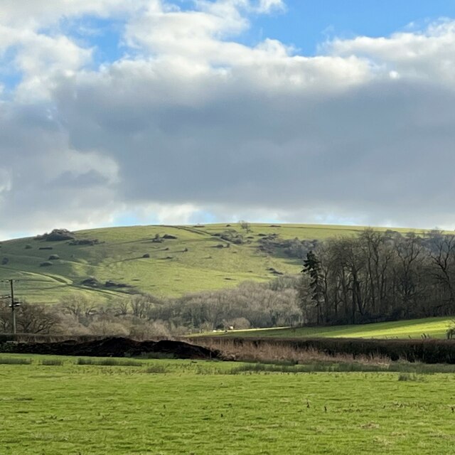
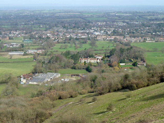
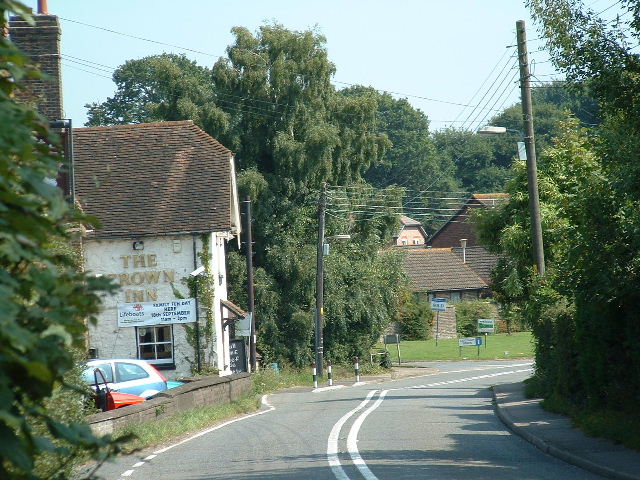
Cootham is a small village located in the county of Sussex, in the southeastern part of England. Situated approximately 5 miles to the east of Pulborough, Cootham is surrounded by picturesque countryside and offers a tranquil and rural setting.
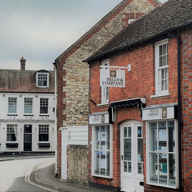
The village is characterized by its charming historic buildings, including traditional cottages and farmhouses, which add to its quintessential English village feel. Cootham is known for its close-knit community, where residents enjoy a friendly and welcoming atmosphere.
Despite its small size, Cootham offers a range of amenities and facilities for its residents. The village boasts a local pub, providing a gathering place for locals to socialize and enjoy a meal or a drink. Additionally, Cootham has a village hall that hosts various community events and activities throughout the year.
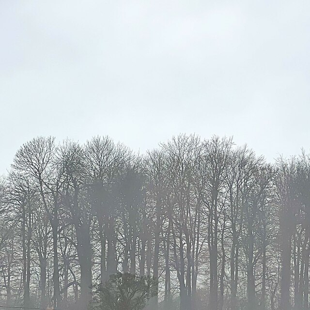
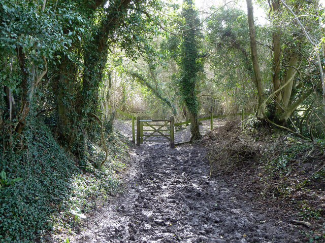
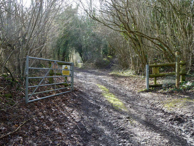
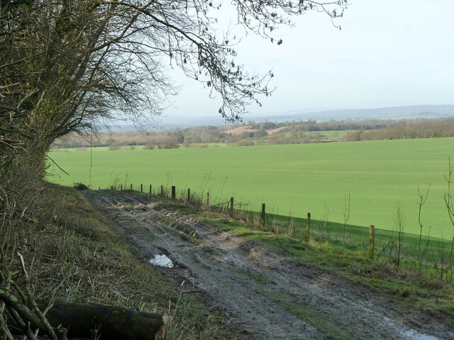
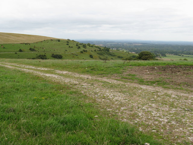
Nature enthusiasts will be pleased to find that Cootham is surrounded by beautiful countryside, making it an ideal location for outdoor activities such as hiking, cycling, and horse riding. The village is also in close proximity to the South Downs National Park, offering further opportunities for exploration and outdoor adventures.
Cootham benefits from its convenient location, with good road connections to nearby towns and cities. The village is within easy reach of Pulborough, where residents can access a wider range of amenities, including supermarkets, shops, and schools.
Overall, Cootham is a charming and idyllic village, offering a peaceful and rural lifestyle for its residents, with easy access to the natural beauty of Sussex.
If you have any feedback on the listing, please let us know in the comments section below.
Cootham Images
Images are sourced within 2km of 50.919453/-0.472865 or Grid Reference TQ0714. Thanks to Geograph Open Source API. All images are credited.


Cootham is located at Grid Ref: TQ0714 (Lat: 50.919453, Lng: -0.472865)
Administrative County: West Sussex
District: Horsham
Police Authority: Sussex
What 3 Words
///responds.unsigned.mush. Near Storrington, West Sussex
Nearby Locations
Related Wikis
Cootham
Cootham ( KOHT-əm, KOOT-) is a hamlet in the Horsham District of West Sussex, England. It lies on the A283 road 0.9 miles (1.4 km) west of Storrington...

Storrington F.C.
Storrington Football Club is a football club based in Storrington, near Horsham, West Sussex, England. Storrington FCwere 1st formed in 1882, where they...

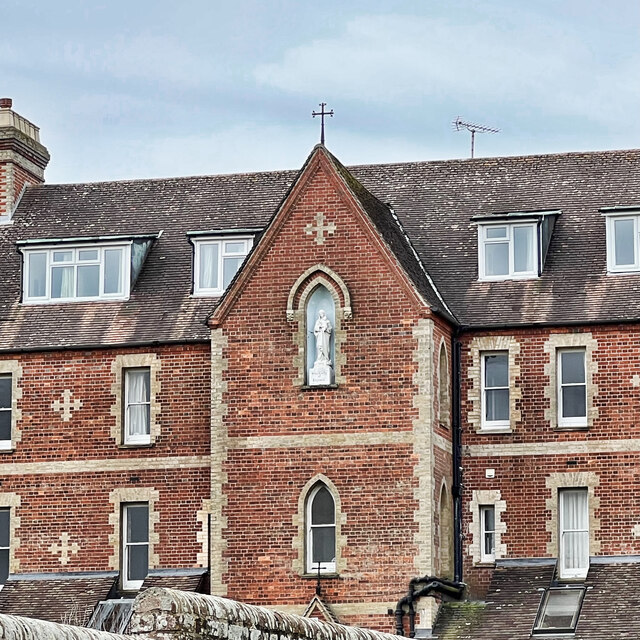
Our Lady of England Priory
Our Lady of England Priory in Storrington, West Sussex, England is the former home of Roman Catholic priests belonging to a Community of Canons Regular...
St Joseph's Hall
St Joseph's Hall in Greyfriars Lane, Storrington, West Sussex is a Grade II listed former residence of the Bishop of Arundel and Brighton. It was built...
Storrington and Sullington
Storrington and Sullington is the name of a civil parish in the Horsham District of West Sussex, England. The parish covers both the town of Storrington...
The Abbey, Storrington
St Joseph's Abbey (The Abbey), Storrington at Storrington in Sussex, England, was originally a rectory, later a small country house and then a convent...
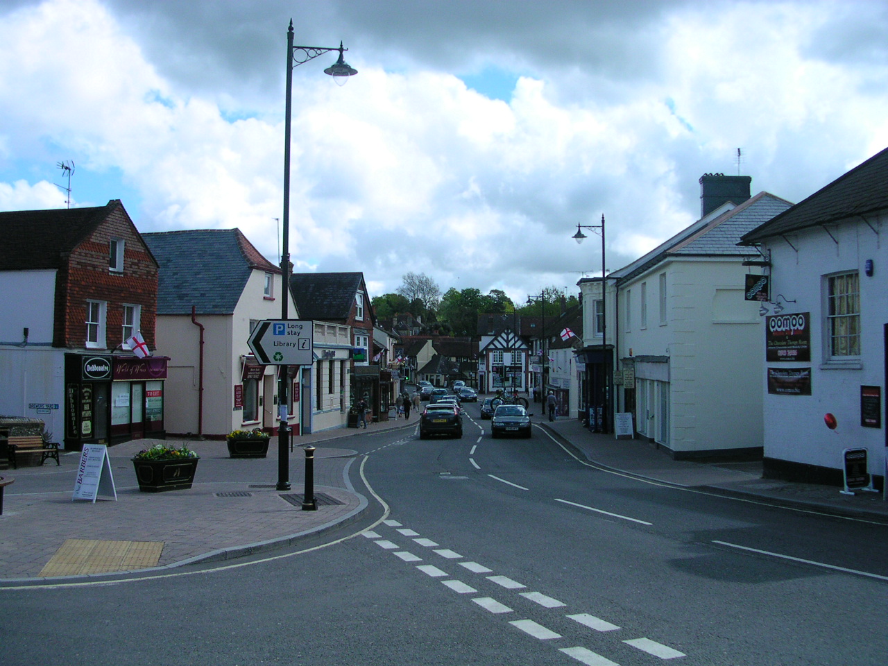
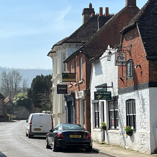
Storrington
Storrington is a town and former civil parish, now in the parish of Storrington and Sullington, in the Horsham district of West Sussex, England. Storrington...

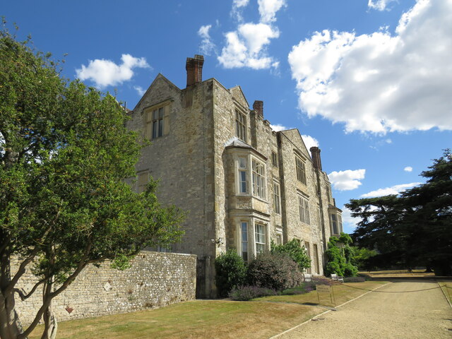
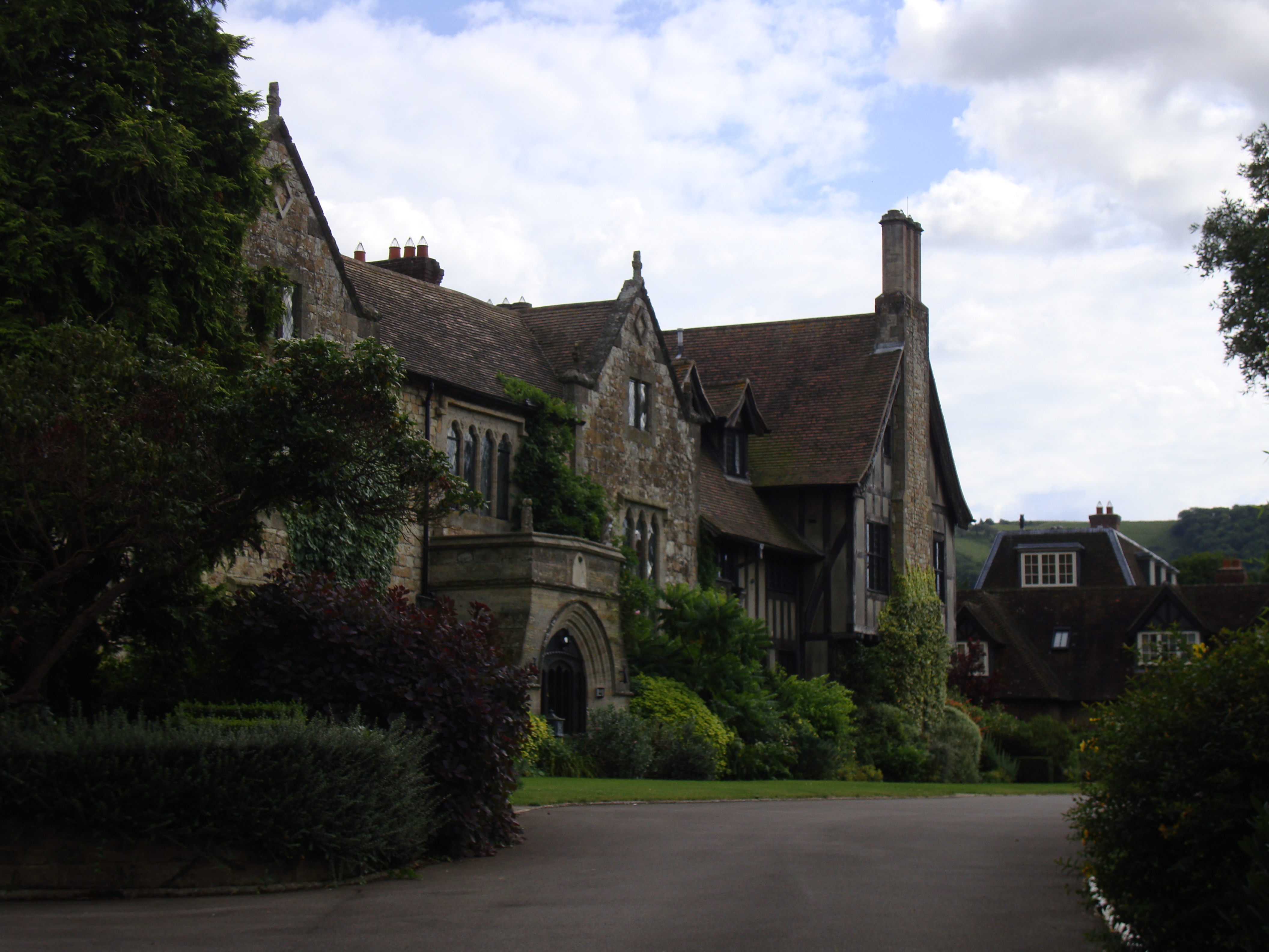
Parham Park
Parham Park is an Elizabethan house and estate in the civil parish of Parham, west of the village of Cootham, and between Storrington and Pulborough, West...
Related Videos

Angmering Park Estate near Arundel | West Sussex Walks | Hiking and Walking #Arundel #westsussex
Walking #Arundel #angmeringparkestate #westsussex #westsussexwalks #hiking #walking A short video as we are still in partial ...

Walk in Eartham Woods, West Sussex #viewranger #walking #hiking #trekking
Bank Holiday Monday. #walking and #trekking around Eartham Woods in #West Sussex. Muffed it using #viewranger but go there ...

Beautiful Beach Hut - A holiday in a day!
We escaped our busy lives for a day at the seaside in a beautiful beach hut on the West Sussex coast and totally immersed ...

Couple quit their 9 to 5 jobs to travel the world in van they renovated for £25K | SWNS
A couple quit their 9 to 5 jobs to travel the world in a van they renovated and transformed on their own for £25K. Helen Weedon ...
Nearby Amenities
Located within 500m of 50.919453,-0.472865Have you been to Cootham?
Leave your review of Cootham below (or comments, questions and feedback).