Ashford Covert
Wood, Forest in Shropshire
England
Ashford Covert

Ashford Covert is a picturesque woodland area located in the county of Shropshire, England. It is situated in the heart of the county, just a few miles southwest of the town of Ashford Bowdler. Covering an area of approximately 200 acres, Ashford Covert is a haven for nature enthusiasts and those seeking tranquility amidst the beauty of the English countryside.
The woodland is predominantly composed of a variety of deciduous trees, including oak, beech, and birch. These trees create a dense canopy that provides shade and shelter for a diverse array of flora and fauna. Bluebells, wild garlic, and ferns carpet the forest floor, adding a touch of color and vibrancy to the surroundings.
Ashford Covert is also home to a range of wildlife species, making it an ideal destination for birdwatchers and animal lovers. Visitors may spot common woodland birds such as robins, blackbirds, and woodpeckers, as well as larger animals like deer and foxes.
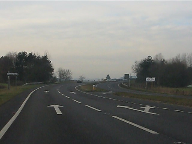
The woodland offers several walking trails that wind through its enchanting pathways, allowing visitors to explore its beauty at their own pace. These trails are well-maintained and marked, ensuring a safe and enjoyable experience for all. Along the way, benches and picnic spots are scattered, providing opportunities to rest and take in the peaceful atmosphere.
Ashford Covert is a hidden gem in Shropshire, offering a serene and natural escape from the hustle and bustle of modern life. Whether it's a leisurely stroll, birdwatching, or simply enjoying the tranquility of the woods, this forest is a must-visit for nature enthusiasts and those seeking solace in the beauty of the natural world.
If you have any feedback on the listing, please let us know in the comments section below.
Ashford Covert Images
Images are sourced within 2km of 52.901025/-2.5957922 or Grid Reference SJ6033. Thanks to Geograph Open Source API. All images are credited.


Ashford Covert is located at Grid Ref: SJ6033 (Lat: 52.901025, Lng: -2.5957922)
Unitary Authority: Shropshire
Police Authority: West Mercia
What 3 Words
///shapes.ditching.tram. Near Prees, Shropshire
Nearby Locations
Related Wikis
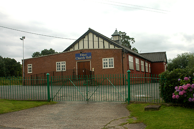
Fauls Green
Fauls Green (or Faulsgreen) is a hamlet situated 3 miles (4.8 km) from Prees (and lies in that parish) in rural north Shropshire, England. The placename...
Bletchley, Shropshire
Bletchley is a village in Shropshire, England, near Market Drayton. It is situated close to the A41 Roman road. == See also == Listed buildings in Moreton...

Moreton Say
Moreton Say is a small village and sparsely populated civil parish in Shropshire, England, near the borders with Cheshire and Staffordshire, just northwest...
Calverhall
Calverhall is a small village in Shropshire, approximately 5 miles away from the town of Whitchurch. It lies within the civil parish of its neighbouring...

Tern Hill railway station
Tern Hill railway station was a station in Ternhill, Shropshire, England. The station was opened in 1867 and closed in 1963. The station had a pagoda shelter...
Ternhill
Tern Hill, also known as Ternhill, is a village in Shropshire, England, notable as the location of the former RAF Tern Hill station, which is now operated...

Prees Higher Heath
Prees Higher Heath (commonly shortened to Higher Heath) is a large village located within the civil parish of Prees in north Shropshire, England. ��2...

Hawkstone Hall
Hawkstone Hall is a 43,400 square feet (4,030 m2) early 18th-century country mansion near Hodnet, Shropshire, England which was more recently occupied...
Nearby Amenities
Located within 500m of 52.901025,-2.5957922Have you been to Ashford Covert?
Leave your review of Ashford Covert below (or comments, questions and feedback).