Broxash Wood
Wood, Forest in Herefordshire
England
Broxash Wood

Broxash Wood is a picturesque forest located in Herefordshire, England. Spanning over a vast area, it is a popular destination for nature lovers and outdoor enthusiasts. The wood is characterized by its dense canopy of tall trees, predominantly oak and beech, which provide a serene and tranquil environment.
The forest boasts a diverse ecosystem, home to a wide range of flora and fauna. Various species of wildflowers, such as bluebells and primroses, dot the forest floor, creating a vibrant and colorful landscape during spring. Broxash Wood is also known for its rich birdlife, including species like woodpeckers, owls, and warblers, making it a haven for birdwatchers.
The wood offers visitors a plethora of recreational activities. There are numerous walking trails that meander through the forest, allowing hikers to explore its beauty at their own pace. The trails are well-marked and vary in difficulty, catering to both novice and experienced walkers. Additionally, the wood provides an ideal setting for picnics and family outings, with designated areas for barbecues and relaxation.
Broxash Wood is not only a natural haven but also holds historical significance. The forest is believed to have ancient origins, with remnants of Iron Age settlements discovered within its boundaries. This adds an intriguing layer of fascination for history enthusiasts and archaeologists.
Overall, Broxash Wood in Herefordshire offers a captivating blend of natural beauty, recreational opportunities, and historical intrigue. It is a place where visitors can immerse themselves in the wonders of nature, unwind, and appreciate the tranquility that the forest provides.
If you have any feedback on the listing, please let us know in the comments section below.
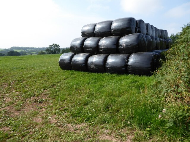
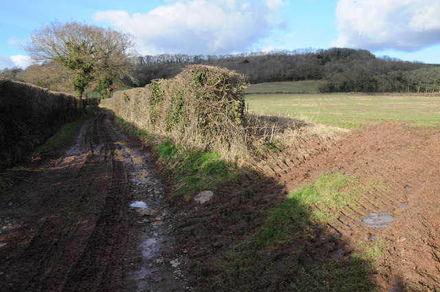
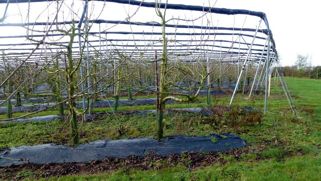
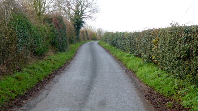
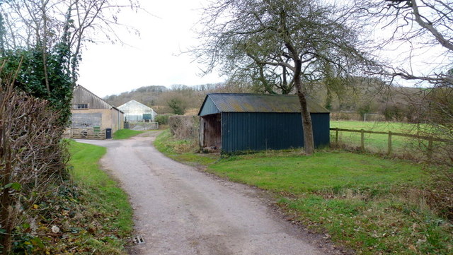
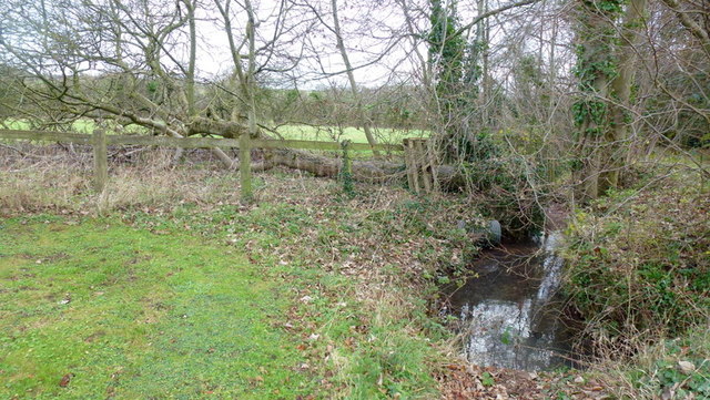
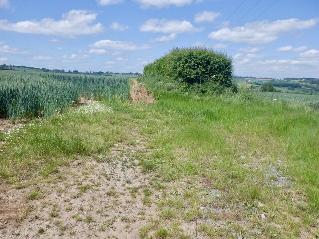
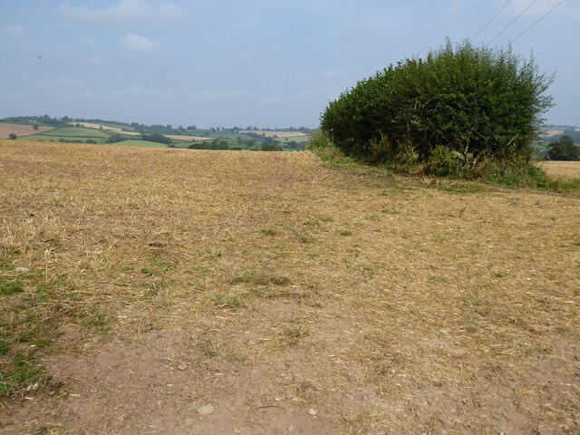
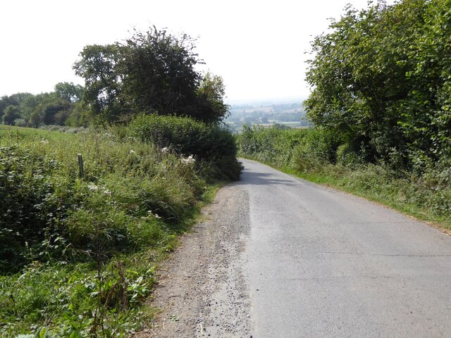
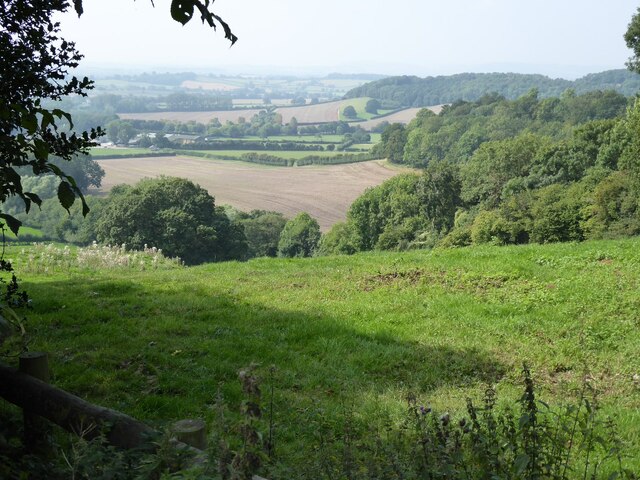
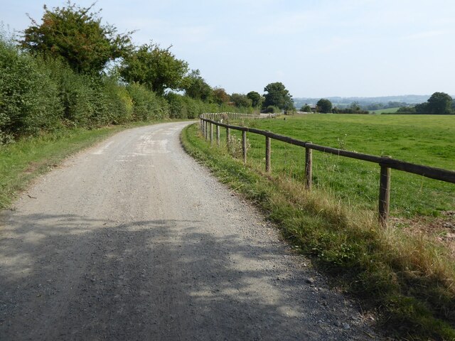
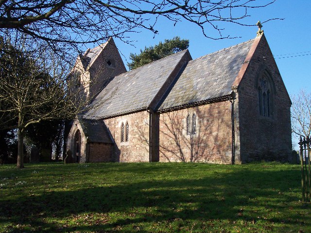
Broxash Wood Images
Images are sourced within 2km of 52.152627/-2.5862284 or Grid Reference SO5950. Thanks to Geograph Open Source API. All images are credited.


Broxash Wood is located at Grid Ref: SO5950 (Lat: 52.152627, Lng: -2.5862284)
Unitary Authority: County of Herefordshire
Police Authority: West Mercia
What 3 Words
///areas.pulsing.contrived. Near Moreton Jeffries, Herefordshire
Nearby Locations
Related Wikis
Little Cowarne
Little Cowarne is a village and civil parish in the county of Herefordshire, England, and is 9 miles (14 km) north-east from the city and county town of...

Ullingswick
Ullingswick is a small village in Herefordshire, England located about 6 miles (9.7 km) south west of Bromyard, 9 miles (14 km) north east of Hereford...
Pencombe
Pencombe is a village and former civil parish, now in the parish of Pencombe with Grendon Warren, in Herefordshire, England. The village is 3.5 miles...
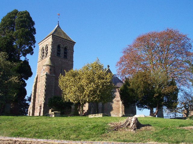
Moreton Jeffries Church
Moreton Jeffries Church is a redundant Anglican church in the hamlet of Moreton Jeffries, some 9 miles (14 km) northeast of Hereford, Herefordshire, England...
Pencombe with Grendon Warren
Pencombe with Grendon Warren is a civil parish in the county of Herefordshire, England. The parish was created in 1895 from the parishes of Pencombe and...

Stoke Lacy
Stoke Lacy is a small village and civil parish in the English county of Herefordshire. Stoke Lacy lies on the main A465 road that connects Hereford and...
Moreton Jeffries
Moreton Jeffries (or Moreton Jefferies) is a hamlet in the English county of Herefordshire. It is situated off the A465 between Stoke Lacy and Burley Gate...
Cornett, Herefordshire
Cornett is a hamlet in the English county of Herefordshire. It lies on the main A417 road southeast of the town of Leominster. == External links == Map...
Nearby Amenities
Located within 500m of 52.152627,-2.5862284Have you been to Broxash Wood?
Leave your review of Broxash Wood below (or comments, questions and feedback).