Lodge Covert

Wood, Forest in Shropshire

England

Lodge Covert

Entering Burwarton
Entering Burwarton Credit: Ian S

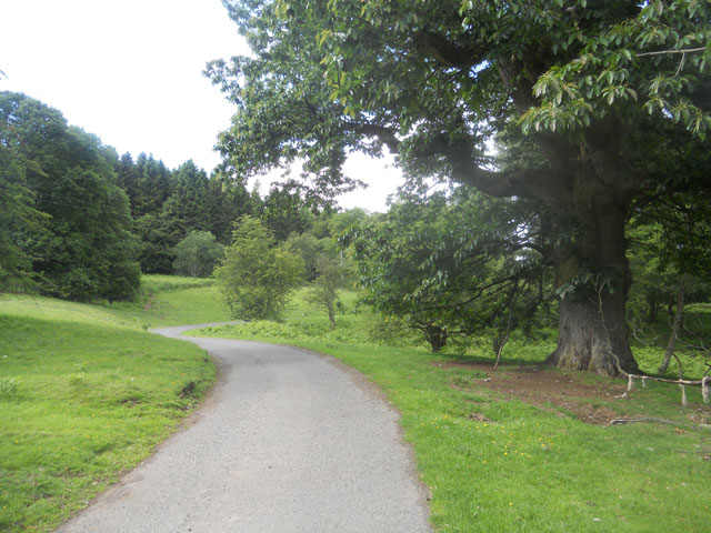
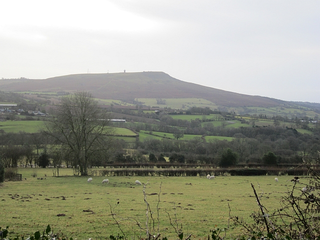
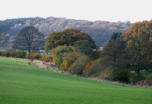
Lodge Covert is a majestic woodland located in the heart of Shropshire, England. Spanning an area of approximately 500 acres, this enchanting forest is renowned for its extraordinary natural beauty and diverse wildlife. Nestled amidst the picturesque landscape of rolling hills and tranquil streams, Lodge Covert offers a serene sanctuary for visitors seeking solace in nature.

The woodland is predominantly composed of a rich variety of deciduous and coniferous trees, including oak, beech, pine, and birch. The dense canopy created by these towering giants provides a sheltered habitat for an array of wildlife species. Deer, badgers, foxes, and rabbits are among the many creatures that call Lodge Covert their home. Bird enthusiasts will also be delighted to spot a myriad of avian species, including woodpeckers, owls, and various songbirds.

The forest is crisscrossed by a network of well-maintained trails, allowing visitors to explore its hidden wonders at their own pace. The paths meander through ancient woodlands, revealing hidden glades, babbling brooks, and moss-covered boulders along the way. Nature enthusiasts can revel in the sights and sounds of the forest, while also enjoying the opportunity to spot rare flora such as bluebells and wild orchids during the spring and summer months.

Lodge Covert is a popular destination for outdoor activities, including hiking, cycling, and wildlife photography. The forest also offers designated picnic areas where visitors can relax and enjoy a meal amidst the tranquil surroundings. With its untouched beauty and abundant wildlife, Lodge Covert is a true haven for nature lovers seeking to reconnect with the natural world.

If you have any feedback on the listing, please let us know in the comments section below.
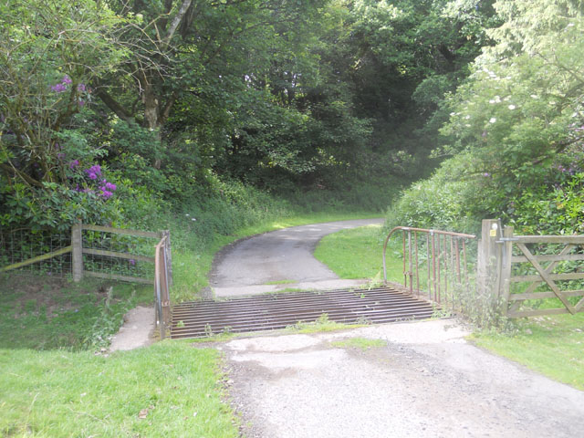
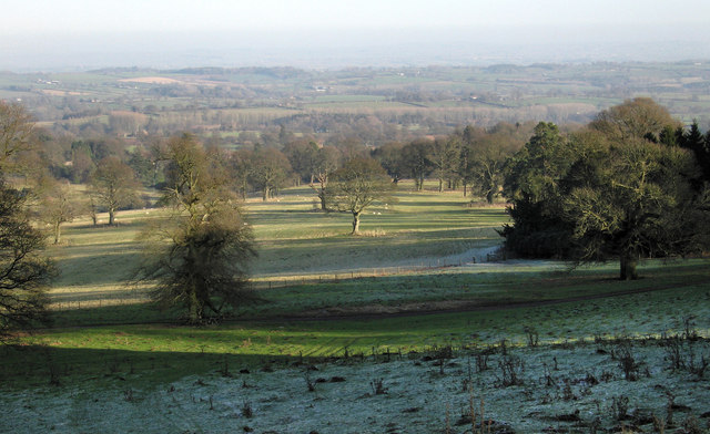
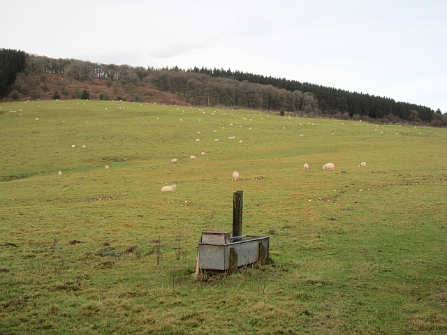
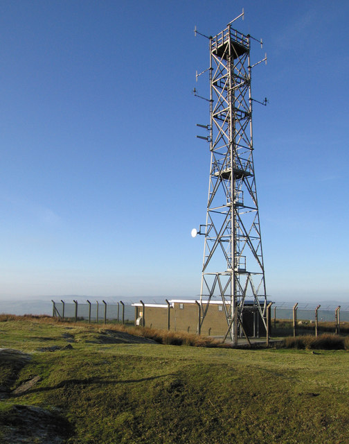
Lodge Covert Images

Images are sourced within 2km of 52.450184/-2.591041 or Grid Reference SO5983. Thanks to Geograph Open Source API. All images are credited.

Entering Burwarton
Entering Burwarton
The B4364 near Hales Farm
A War Memorial at top of Loughton Lane
Road through Burwarton Park
Cattle grid in Burwarton Park
Part of Burwarton Park
Trig point at Besom Farm View includes Besom Farm House and Besom Wood. Information on the Ordnance Survey trig point at <span class="nowrap"><a title="http://trigpointinguk.com/trigs/trig-details.php?t=6468" rel="nofollow ugc noopener" href="http://trigpointinguk.com/trigs/trig-details.php?t=6468">Link</a><img style="margin-left:2px;" alt="External link" title="External link - shift click to open in new window" src="https://s1.geograph.org.uk/img/external.png" width="10" height="10"/></span>
Trig point at Besom Farm
View includes Besom Farm House and Besom Wood. Information on the Ordnance Survey trig point at LinkExternal link
A galvanised trough Drinking water for livestock in pasture on the slopes of Brown Clee.
A galvanised trough
Drinking water for livestock in pasture on the slopes of Brown Clee.
Field on the Clees A flat field on the col between the Clees.
Field on the Clees
A flat field on the col between the Clees.
View to Brown Clee Hill View to southern slopes of Brown Clee Hill from a field near Besom Farm.  This is a private field, I was there during a wedding celebration.
View to Brown Clee Hill
View to southern slopes of Brown Clee Hill from a field near Besom Farm. This is a private field, I was there during a wedding celebration.
The Three Horseshoes public house
Old workings on Clee Burf
Relay station on Clee Burf
Brown Clee wild camp A chance to squeeze in a wild camp before the WRT-Welsh Ride Thing,a three day bikepacking event in aid of the Wales Air Ambulance
Brown Clee wild camp
A chance to squeeze in a wild camp before the WRT-Welsh Ride Thing,a three day bikepacking event in aid of the Wales Air Ambulance
Brown Clee wild camp A short wild camp on the Brown Clee to introduce 10 year old Luke to the delights of wild camping.his one question,are we going to Wales next time.
Brown Clee wild camp
A short wild camp on the Brown Clee to introduce 10 year old Luke to the delights of wild camping.his one question,are we going to Wales next time.
View towards Clee Hill Looking over a hedge from a lane on the slopes of Brown Clee. (Titterstone) Clee Hill has the property of changing shape from different vantage points.
View towards Clee Hill
Looking over a hedge from a lane on the slopes of Brown Clee. (Titterstone) Clee Hill has the property of changing shape from different vantage points.
Green lane A steep descent through leaf litter from Thorn Lane.
Green lane
A steep descent through leaf litter from Thorn Lane.
Old Lodge Coppice The southern end of the Brown Clee woodlands.
Old Lodge Coppice
The southern end of the Brown Clee woodlands.
Show me another place!

Lodge Covert is located at Grid Ref: SO5983 (Lat: 52.450184, Lng: -2.591041)

Unitary Authority: Shropshire

Police Authority: West Mercia

What 3 Words

///leads.blizzard.smirking. Near Cleobury Mortimer, Shropshire

Related Wikis

Loughton, Shropshire

Loughton is a village and former civil parish, now in the parish of Wheathill, in Shropshire, England. In 1961 the parish had a population of 48.It is...
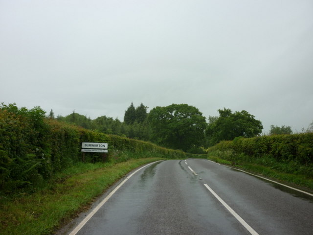
Burwarton

Burwarton is a small village and civil parish in Shropshire, England. Local governance is provided through the 'grouped' Parish Council for Aston Botterill...

Nordy Bank

Nordy Bank is an Iron Age hill fort on Brown Clee Hill in the Shropshire Hills Area of Outstanding Natural Beauty in South Shropshire, England. == Location... ==

Wheathill, Shropshire

Wheathill is a village and civil parish 21 miles (34 km) south east of Shrewsbury, in the Shropshire district, in the ceremonial county of Shropshire,...

Nearby Amenities

Located within 500m of 52.450184,-2.591041
Barrier: cattle_grid
Lat/Long: 52.4527241/-2.5864646
Building: yes
Lat/Long: 52.4530113/-2.5855021
Ford: yes
Lat/Long: 52.4488547/-2.5923517
The data included in this document is from www.openstreetmap.org. The data is made available under ODbL.

Have you been to Lodge Covert?

Leave your review of Lodge Covert below (or comments, questions and feedback).