Cooper's Corner
Settlement in Kent Sevenoaks
England
Cooper's Corner
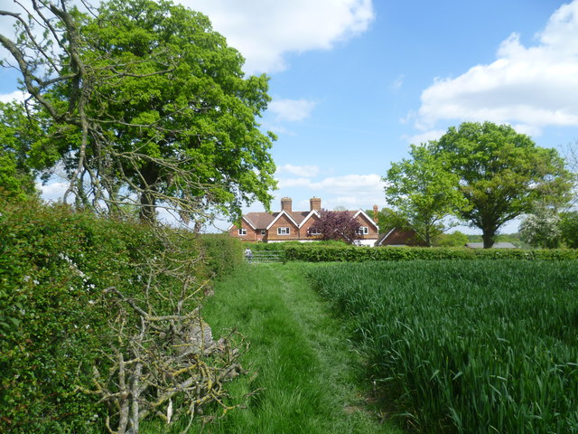
Cooper's Corner is a quaint and picturesque village located in Kent, England. Situated amidst the stunning countryside, it offers a serene and idyllic setting that attracts both locals and tourists alike. The village is named after the Cooper family, who were early settlers in the area and played a significant role in its development.
One of the standout features of Cooper's Corner is its charming architecture. The village is known for its well-preserved historic buildings, many of which date back several centuries. The traditional thatched cottages, cobblestone streets, and ancient stone walls add to the village's rustic charm and create a delightful atmosphere for visitors to explore.
Cooper's Corner boasts a close-knit community, with friendly and welcoming residents who take pride in their village. The community spirit is evident in the various events and festivals held throughout the year, including the annual summer fair and Christmas market. These events provide an opportunity for locals and visitors to come together and celebrate the village's rich heritage.
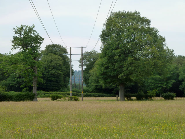
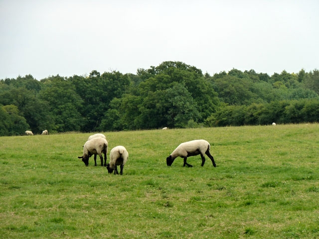
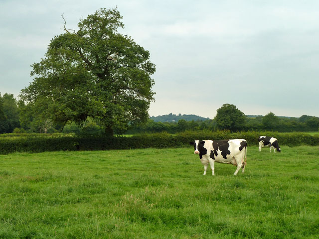
Nature enthusiasts will find plenty to enjoy in Cooper's Corner, as it is surrounded by rolling hills, meandering rivers, and lush green fields. The village is a popular starting point for hikers and cyclists, with numerous scenic trails that offer breathtaking views of the countryside.
In terms of amenities, Cooper's Corner offers a range of facilities to cater to the needs of its residents and visitors. These include a charming village pub, a small grocery store, and a community center that hosts various activities and classes.
Overall, Cooper's Corner is a delightful destination for those seeking a peaceful and charming English village experience. Its rich history, stunning natural surroundings, and warm community make it a truly special place to visit.
If you have any feedback on the listing, please let us know in the comments section below.
Cooper's Corner Images
Images are sourced within 2km of 51.226012/0.131781 or Grid Reference TQ4849. Thanks to Geograph Open Source API. All images are credited.


Cooper's Corner is located at Grid Ref: TQ4849 (Lat: 51.226012, Lng: 0.131781)
Administrative County: Kent
District: Sevenoaks
Police Authority: Kent
What 3 Words
///stale.light.sizes. Near Sundridge, Kent
Nearby Locations
Related Wikis
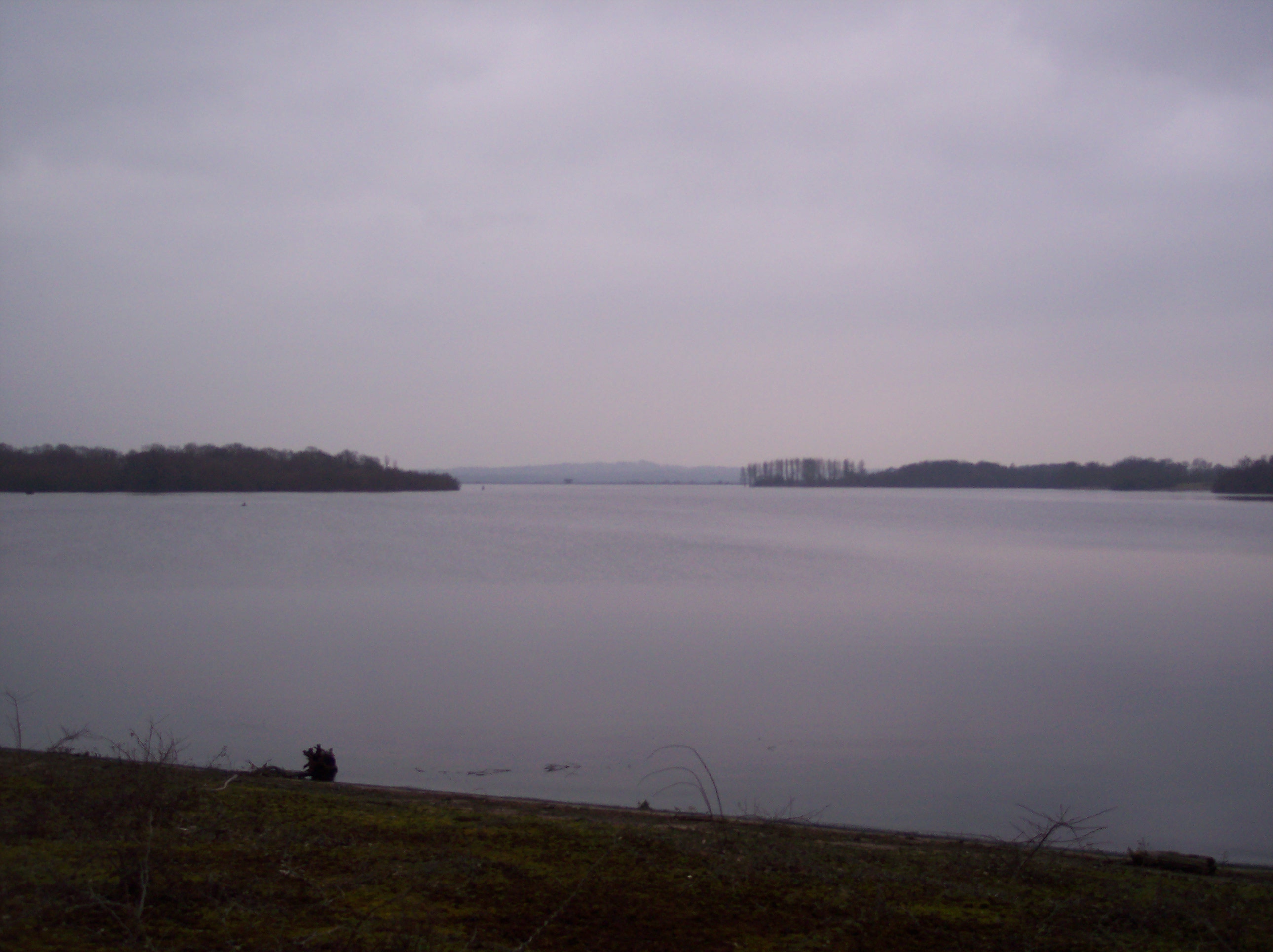
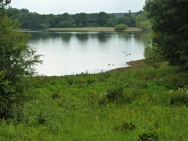
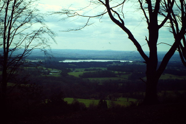
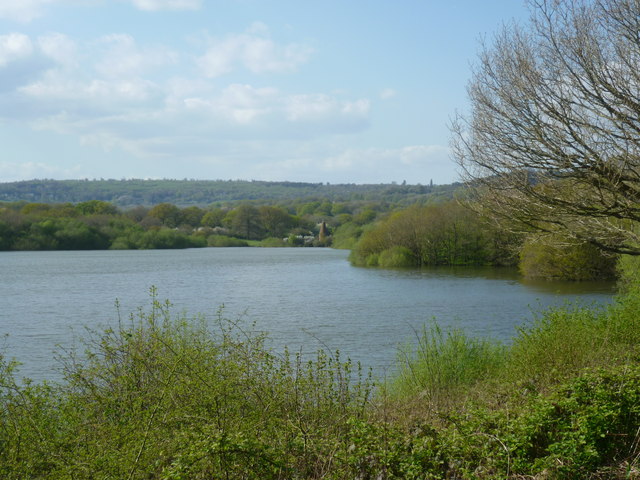
Bough Beech Reservoir
Bough Beech Reservoir is a 42-hectare (100-acre) nature reserve in Bough Beech, south-west of Sevenoaks in Kent. It was managed by the Kent Wildlife Trust...

Bore Place
Bore Place (also Boar Place) was the country seat of the manor of Milbroke in Kent. The manor house was constructed in around 1745. It was originally named...

Stubbs Wood Country Park
Stubbs Wood Country Park is in Sevenoaks, in Kent, England. It is located on the Greensand Ridge, close to Ide Hill village. The site is owned and managed...

Ide Hill
Ide Hill is a village within the civil parish of Sundridge with Ide Hill, in the Sevenoaks District of Kent, England. It stands on one of the highest...

Four Elms
Four Elms is a village within the civil parish of Hever in the Sevenoaks District of Kent, England. The village is located on a crossroads between Edenbridge...

Polebrook Farm
Polebrook Farm is a 13-hectare (32-acre) biological Site of Special Scientific Interest south of Sevenoaks in Kent, England.The field layout of this farm...

Toys Hill
Toys Hill is a hamlet which lies within Brasted civil parish in the Sevenoaks district of Kent, England. It lies to the south of Brasted Chart, also in...

Bough Beech
Bough Beech is a hamlet in the county of Kent, England, and is south of the Bough Beech Reservoir. It is located approximately three miles east of Edenbridge...
Nearby Amenities
Located within 500m of 51.226012,0.131781Have you been to Cooper's Corner?
Leave your review of Cooper's Corner below (or comments, questions and feedback).