Cockmill Wood

Wood, Forest in Somerset Mendip

England

Cockmill Wood

Pilton : Glastonbury Festival Site Looking down to the Glastonbury Festival site as it is being set up.
Pilton : Glastonbury Festival Site Credit: Lewis Clarke

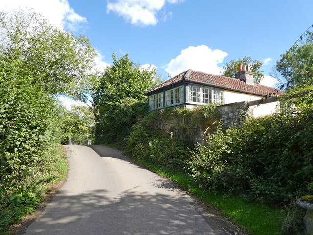
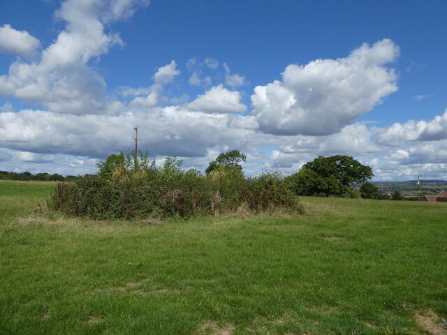
Cockmill Wood, located in Somerset, England, is a picturesque woodland area known for its natural beauty and diverse ecosystem. Covering an extensive area, it is a popular destination for nature lovers, hikers, and wildlife enthusiasts.

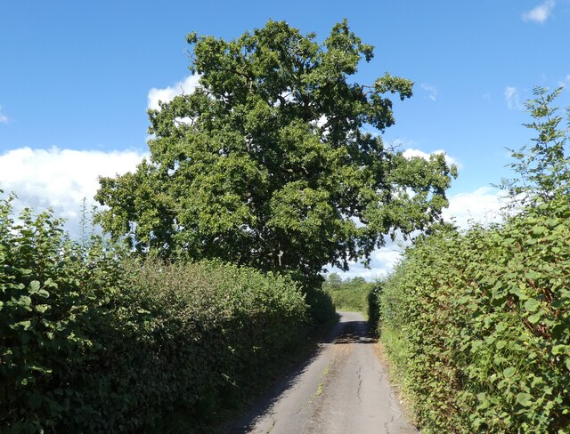
The wood is characterized by its dense canopy of trees, which mainly consist of oak, beech, and birch. These tall and ancient trees provide a shaded and cool atmosphere, especially during the summer months. The forest floor is rich in flora, with a carpet of bluebells and wildflowers adding color and vibrancy to the surroundings.

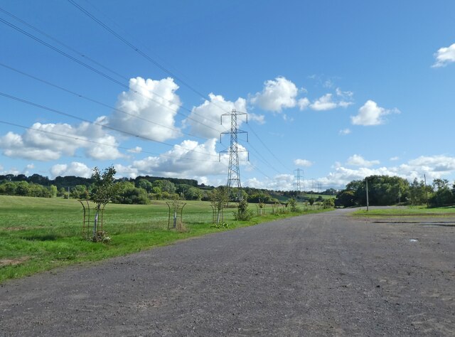
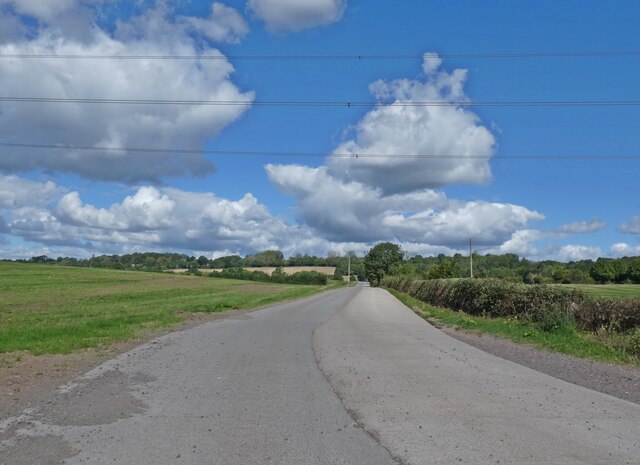
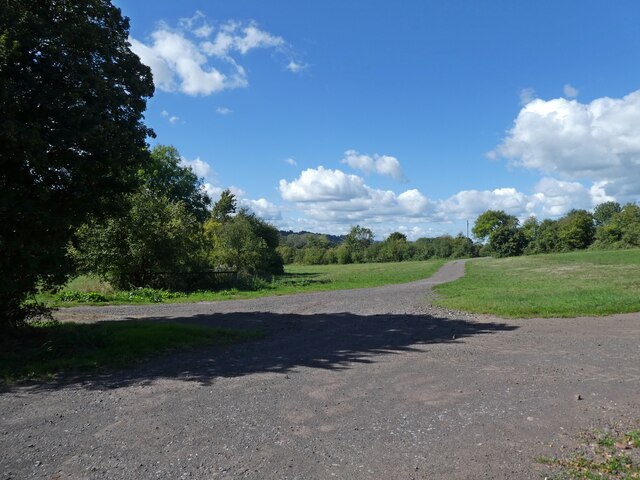
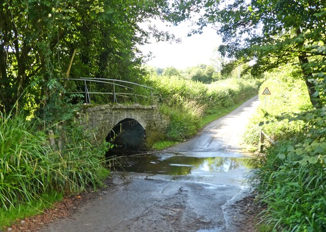
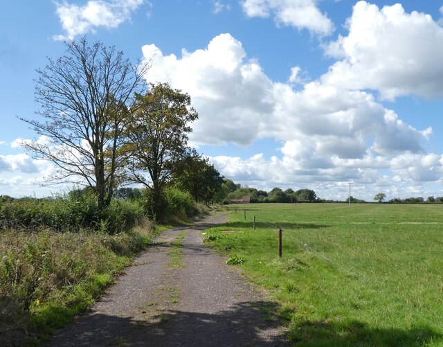
Cockmill Wood boasts several well-maintained walking trails, allowing visitors to explore its various features. These trails wind through the woods, offering glimpses of small streams, tranquil ponds, and moss-covered rocks. The peaceful atmosphere and the sound of birdsong make it an ideal place for relaxation and contemplation.

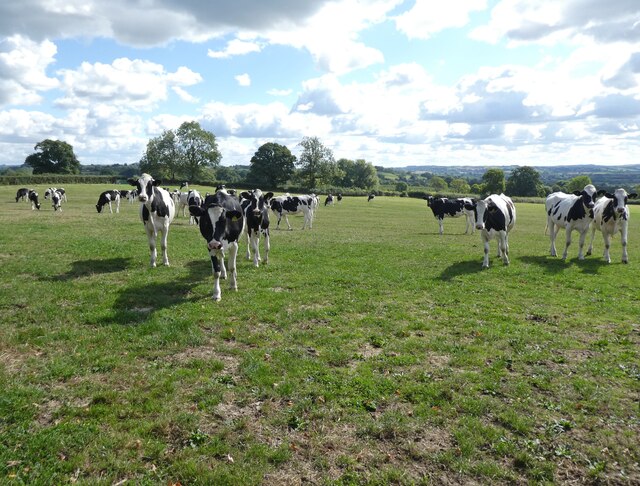
The wood is also home to a wide range of wildlife, including deer, foxes, badgers, and a variety of bird species. Birdwatchers often flock to Cockmill Wood to catch sight of the elusive woodpeckers and owls that reside there.

With its abundant natural beauty and diverse ecosystem, Cockmill Wood is not only a haven for wildlife but also a place of tranquility and serenity for those seeking solace in nature. This hidden gem in Somerset offers a unique experience to visitors, providing an escape from the hustle and bustle of everyday life.

If you have any feedback on the listing, please let us know in the comments section below.

Cockmill Wood Images

Images are sourced within 2km of 51.14279/-2.5793728 or Grid Reference ST5938. Thanks to Geograph Open Source API. All images are credited.

Pilton : Glastonbury Festival Site Looking down to the Glastonbury Festival site as it is being set up.
Pilton : Glastonbury Festival Site
Looking down to the Glastonbury Festival site as it is being set up.
Pilton : Glastonbury Festival Site Looking down to the Glastonbury Festival site as it is being set up.
Pilton : Glastonbury Festival Site
Looking down to the Glastonbury Festival site as it is being set up.
Pilton : Glastonbury Festival Site Looking down to the Glastonbury Festival site as it is being set up.
Pilton : Glastonbury Festival Site
Looking down to the Glastonbury Festival site as it is being set up.
Pilton : Glastonbury Festival Site Before most of the revellers arrive, the site is being set up.
Pilton : Glastonbury Festival Site
Before most of the revellers arrive, the site is being set up.
Power lines crossing Worthy Farm
Access road, Steanbow Park
Festival tracks, Worthy Farm
Cockmill Lane
Cockmill Lane
Former crossing keeper's cottage on the Evercreech Junction to Glastonbury railway Now part of Cockmill Cottage.
Former crossing keeper's cottage on the Evercreech Junction to Glastonbury railway
Now part of Cockmill Cottage.
Ford on Cockmill Lane Unfortunately, access to the lovely stone footbridge has not been maintained.
Ford on Cockmill Lane
Unfortunately, access to the lovely stone footbridge has not been maintained.
Track, on Pennard Hill
Cattle at Pennard Hill Farm
Covered reservoir at Pennard Hill Farm Beneath the shrubbery!
Covered reservoir at Pennard Hill Farm
Beneath the shrubbery!
Pennard Hill Farm
Pennard Hill Farm
PYLLE, Somerset St Thomas a Becket church
PYLLE, Somerset
St Thomas a Becket church
A37 almost at the top of Wraxall Hill
Manor House at Pylle A formal part of the garden of the Manor House, Pylle. There are 
other small areas of formality, but for the most part it is wonderfully
informal, with some unusual species.
Manor House at Pylle
A formal part of the garden of the Manor House, Pylle. There are other small areas of formality, but for the most part it is wonderfully informal, with some unusual species.
A lot of mud A pair of Wellington boots can be seen trapped in the hardened mud in a field - probably a route (it is a public right of way, which leads through the gap in the hedge) to the Glastonbury festival showground.
A lot of mud
A pair of Wellington boots can be seen trapped in the hardened mud in a field - probably a route (it is a public right of way, which leads through the gap in the hedge) to the Glastonbury festival showground.
Show me another place!

Cockmill Wood is located at Grid Ref: ST5938 (Lat: 51.14279, Lng: -2.5793728)

Administrative County: Somerset

District: Mendip

Police Authority: Avon and Somerset

What 3 Words

///unlisted.factoring.forgotten. Near Evercreech, Somerset

Related Wikis

East Pennard

East Pennard is a village and civil parish 4 miles (6.4 km) north west of Castle Cary, and 5 miles (8.0 km) south of Shepton Mallet, in the Mendip district...

Glastonbury Festival

Glastonbury Festival (formally Glastonbury Festival of Contemporary Performing Arts and known colloquially as Glasto) is a five-day festival of contemporary...

Pylle

Pylle is a village and civil parish 4 miles (6.4 km) south west of Shepton Mallet, and 7 miles (11.3 km) from Wells, in the Mendip district of Somerset...

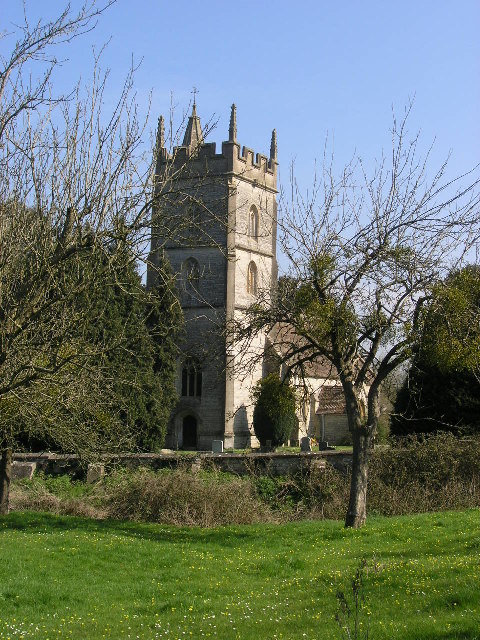
Church of St Thomas à Becket, Pylle

The Anglican Church of St Thomas à Becket in Pylle, Somerset, England, was built in the 15th century. It is a Grade II* listed building. == History... ==

Nearby Amenities

Located within 500m of 51.14279,-2.5793728
Strummer Stone
Historic: memorial
Lat/Long: 51.1464307/-2.581452
Barrier: entrance
Lat/Long: 51.1463436/-2.5803854
Barrier: entrance
Lat/Long: 51.1468597/-2.5772811
Barrier: entrance
Lat/Long: 51.1462139/-2.5798521
Entrance: yes
Lat/Long: 51.1458956/-2.5775224
Barrier: entrance
Lat/Long: 51.1454946/-2.5812147
The Dragon
Artwork Type: sculpture
Tourism: artwork
Lat/Long: 51.144849/-2.5844534
Barrier: entrance
Lat/Long: 51.1456587/-2.5839119
Barrier: entrance
Lat/Long: 51.1461584/-2.5800802
Entrance: yes
Lat/Long: 51.1457475/-2.576994
King's Hill
Alt Name: Kings Hill
Natural: peak
Source Alt Name: NPE
Source Name: OS_OpenMap_Local
Lat/Long: 51.1418667/-2.5849205
Barrier: entrance
Lat/Long: 51.1463549/-2.5824255
Leisure: firepit
Lat/Long: 51.1449961/-2.5854343
The data included in this document is from www.openstreetmap.org. The data is made available under ODbL.

Have you been to Cockmill Wood?

Leave your review of Cockmill Wood below (or comments, questions and feedback).