Hare's Grove
Wood, Forest in Gloucestershire Forest of Dean
England
Hare's Grove

Hare's Grove is a picturesque woodland located in Gloucestershire, England. Covering an expansive area of land, it is renowned for its natural beauty and diverse range of flora and fauna. The grove is situated within the larger Forest of Dean, adding to its appeal as a destination for nature enthusiasts and outdoor enthusiasts.
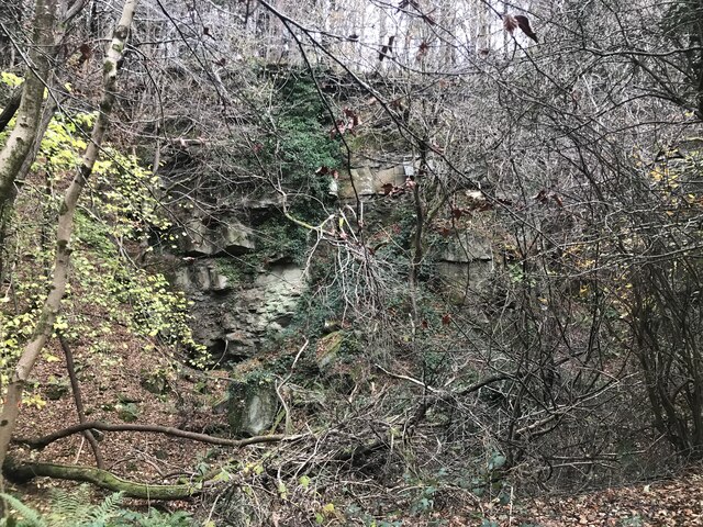
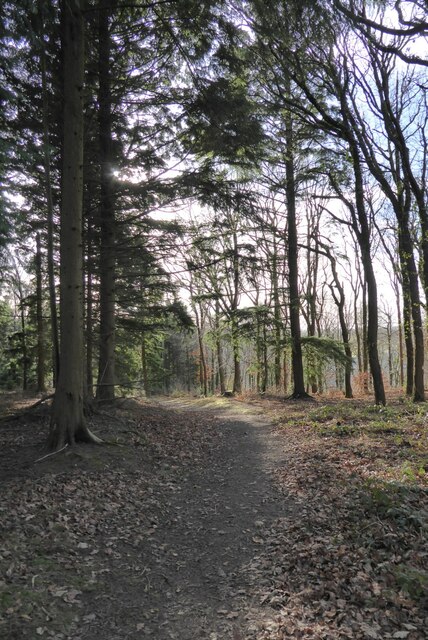
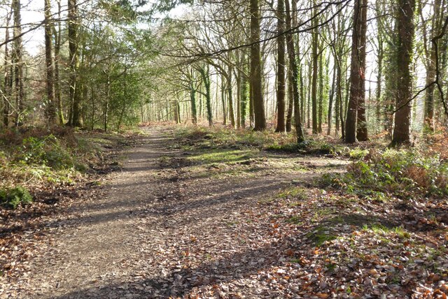
The woodland of Hare's Grove consists primarily of ancient oak trees, providing a majestic canopy that shades the forest floor. The vibrant green moss-covered ground is interspersed with wildflowers, creating a colorful and serene atmosphere. The varied terrain includes gentle slopes, meandering streams, and hidden clearings, offering a sense of wonder and discovery to visitors.
The grove is home to a rich and diverse ecosystem, housing several species of birds, mammals, and insects. It is not uncommon to spot deer, foxes, and badgers during a stroll through the woods. The melodious calls of songbirds can be heard throughout the day, adding to the tranquil ambiance of Hare's Grove.
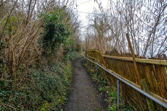
For those seeking outdoor activities, Hare's Grove offers numerous walking and hiking trails that cater to different skill levels. These paths wind through the woodland, providing opportunities to explore the grove's natural beauty up close. Additionally, picnicking areas and benches are strategically placed along the trails, allowing visitors to relax and take in the breathtaking scenery.
Hare's Grove is a hidden gem within Gloucestershire, offering a peaceful retreat for those looking to reconnect with nature. Its enchanting woodland, diverse wildlife, and well-maintained trails make it a must-visit destination for nature lovers and outdoor enthusiasts alike.
If you have any feedback on the listing, please let us know in the comments section below.
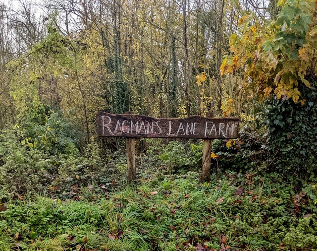
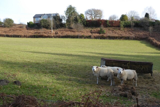
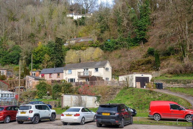
Hare's Grove Images
Images are sourced within 2km of 51.841951/-2.5896579 or Grid Reference SO5916. Thanks to Geograph Open Source API. All images are credited.


Hare's Grove is located at Grid Ref: SO5916 (Lat: 51.841951, Lng: -2.5896579)
Administrative County: Gloucestershire
District: Forest of Dean
Police Authority: Gloucestershire
What 3 Words
///hoaxes.inch.strutting. Near Lydbrook, Gloucestershire
Nearby Locations
Related Wikis

Sarah Siddons' House
Sarah Siddons' House, also called the Old House, is a cottage in the village of Lydbrook, Gloucestershire, England. A Grade II* listed building, the cottage...
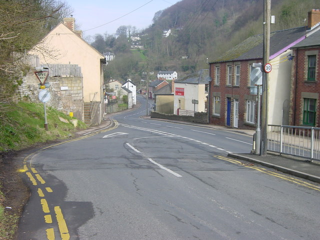
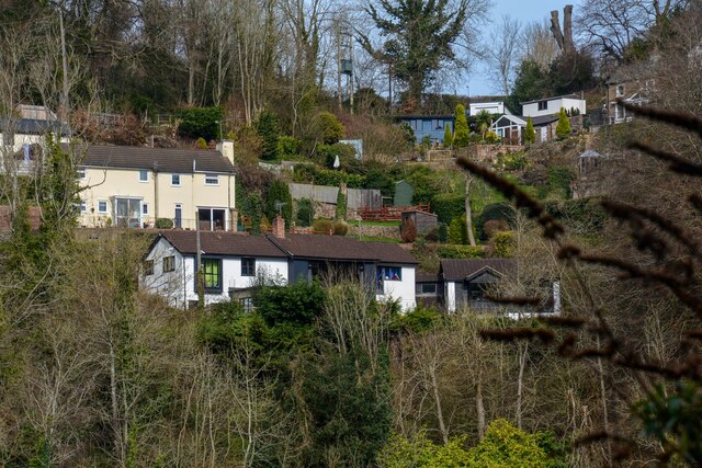
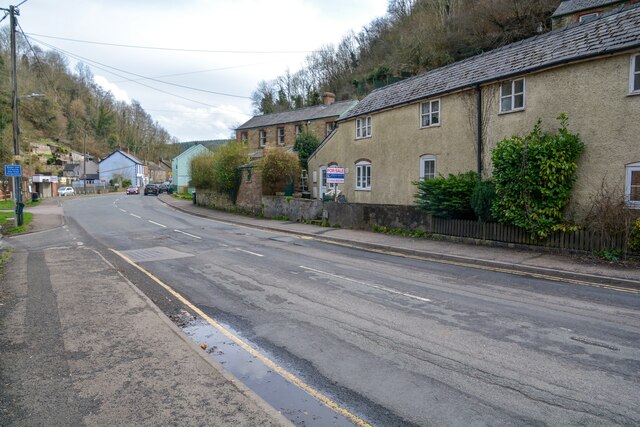
Lydbrook
Lydbrook is a civil parish in the Forest of Dean, a local government district in the English county of Gloucestershire and is located in the Wye Valley...

Lower Lydbrook railway station
Lower Lydbrook railway station served the civil parish of Lydbrook, Gloucestershire, England, from 1875 to 1903 on the Severn and Wye Railway. == History... ==
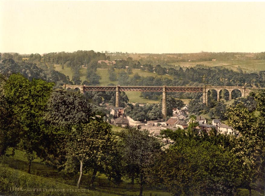
Lower Lydbrook Viaduct
The Lower Lydbrook Viaduct was an iron railway viaduct with stone piers, it was on the Severn and Wye Railway and situated in Lower Lydbrook, Gloucestershire...
Nearby Amenities
Located within 500m of 51.841951,-2.5896579Have you been to Hare's Grove?
Leave your review of Hare's Grove below (or comments, questions and feedback).