Home Wood

Wood, Forest in Gloucestershire Forest of Dean

England

Home Wood

St James’ Church Bream Sunday morning worshippers gathering outside the door.
St James’ Church Bream Credit: David Martin

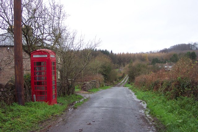
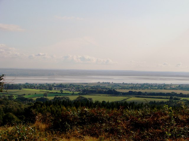
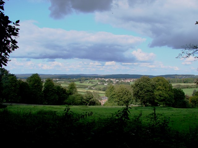
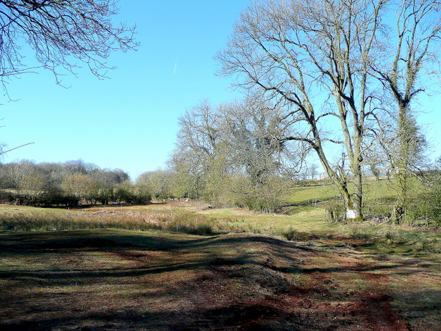
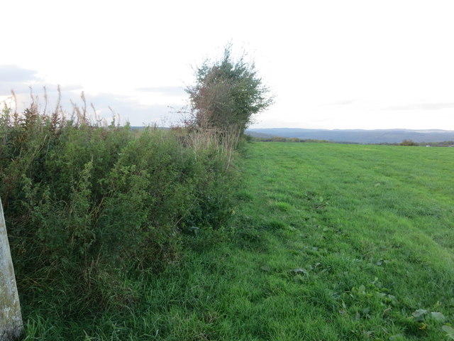
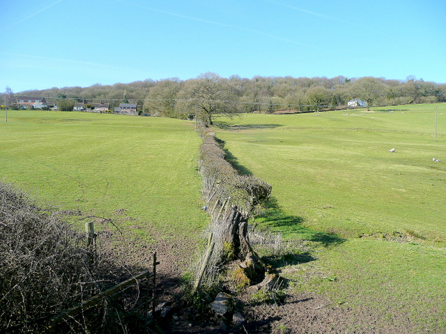
Home Wood is a small forest located in the county of Gloucestershire, England. Situated near the village of Wood, it covers an area of approximately 50 hectares. The forest is primarily composed of deciduous trees, including oak, ash, and beech, creating a diverse and picturesque landscape.

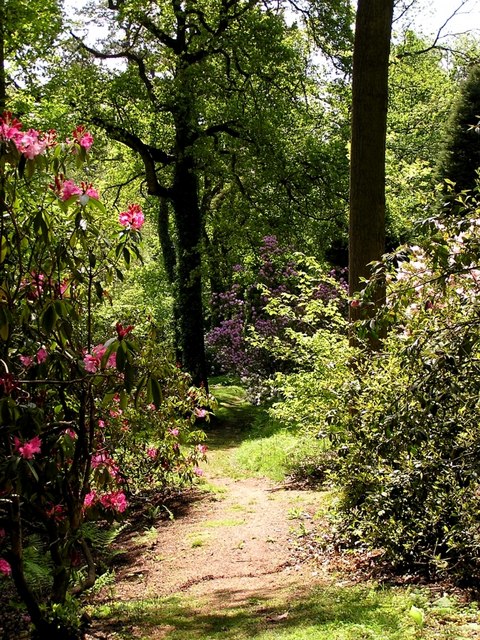
Home Wood is known for its rich biodiversity and is home to a variety of wildlife species. Visitors can often spot deer, badgers, and foxes, as well as numerous bird species such as woodpeckers and owls. The forest also features a network of walking trails, allowing visitors to explore its natural beauty and enjoy peaceful walks through the woodland.

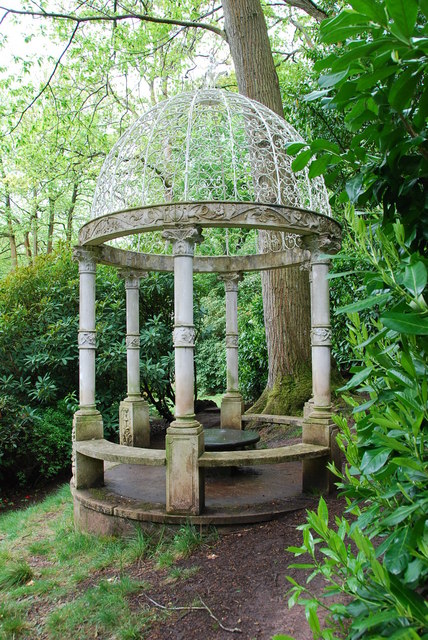
In addition to its natural beauty, Home Wood has historical significance. It is believed to have been part of the ancient Forest of Dean, a royal hunting ground dating back to the Roman era. Remnants of old boundary walls and ditches can still be seen, adding to the forest's charm and character.

The forest is managed by the Forestry Commission, which ensures the preservation and conservation of the woodland. They also provide recreational facilities, such as picnic areas and designated camping spots, allowing visitors to fully immerse themselves in the peaceful surroundings.

Home Wood, Gloucestershire, offers a tranquil escape from the hustle and bustle of everyday life. With its stunning scenery, abundant wildlife, and historical significance, it is a haven for nature lovers and history enthusiasts alike.

If you have any feedback on the listing, please let us know in the comments section below.
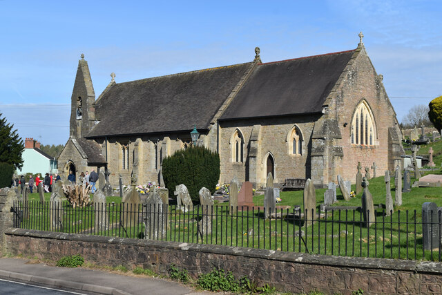
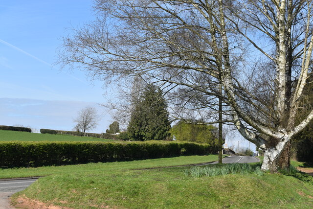
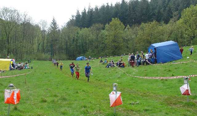
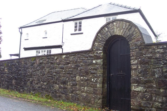
Home Wood Images

Images are sourced within 2km of 51.732613/-2.5907674 or Grid Reference SO5903. Thanks to Geograph Open Source API. All images are credited.

St James’ Church Bream Sunday morning worshippers gathering outside the door.
St James’ Church Bream
Sunday morning worshippers gathering outside the door.
Wide verge beside Lyndsey Road
Finish at British Orienteering Championships race, Lydney Park, Lydney, Glos. The British Orienteering Championships took place at Lydney Park in the Forest of Dean in 2004. The finish for the individual day race was in this field, which runs along a valley bottom. The orienteering took place in the mixed woodland surrounding the valley.
Finish at British Orienteering Championships race, Lydney Park, Lydney, Glos.
The British Orienteering Championships took place at Lydney Park in the Forest of Dean in 2004. The finish for the individual day race was in this field, which runs along a valley bottom. The orienteering took place in the mixed woodland surrounding the valley.
Heaven's Gate. Actually the name of the house.
Heaven's Gate.
Actually the name of the house.
Telephone box and lane near Aylburton Common. The track ahead leads to Pool Farm.
Telephone box and lane near Aylburton Common.
The track ahead leads to Pool Farm.
Severn from The Birches, Aylburton
Bream & Cinderford from above Prior's Lodge
Garden Folly This Folly was brought back from Venice,by Lord Bledisloe in 1961.Who was the creator of the gardens.
Garden Folly
This Folly was brought back from Venice,by Lord Bledisloe in 1961.Who was the creator of the gardens.
Track and footpath Leading from the B4231 through the south-western fringes of the Forest of Dean towards The Scowles.
Track and footpath
Leading from the B4231 through the south-western fringes of the Forest of Dean towards The Scowles.
Rough pasture land Old mining territory to the south of Bream.
Rough pasture land
Old mining territory to the south of Bream.
B4231, towards Bream Looking north-west on a bright March morning.
B4231, towards Bream
Looking north-west on a bright March morning.
Hedge-side view from Bream Cross Triangulation Pillar Looking north-eastward.
Hedge-side view from Bream Cross Triangulation Pillar
Looking north-eastward.
Trig point 197m SW of Bream, Gloucestershire This trig point is incorrectly shown on the 1:25,000 OS Map and lies to the east of the fence and not the west side.
Trig point 197m SW of Bream, Gloucestershire
This trig point is incorrectly shown on the 1:25,000 OS Map and lies to the east of the fence and not the west side.
Ordnance Survey Cut Mark This can be found on the wall of St James's Church in Bream.
For more detail see : <span class="nowrap"><a title="http://www.bench-marks.org.uk/bm80511" rel="nofollow ugc noopener" href="http://www.bench-marks.org.uk/bm80511">Link</a><img style="margin-left:2px;" alt="External link" title="External link - shift click to open in new window" src="https://s1.geograph.org.uk/img/external.png" width="10" height="10"/></span>
Ordnance Survey Cut Mark
This can be found on the wall of St James's Church in Bream. For more detail see : LinkExternal link
The Church of St James at Bream Viewed from the north.
The Church of St James at Bream
Viewed from the north.
Bream church Bream church is dedicated to St James, it was mostly dates from 18601 when it was rebuilt by William White who almost completely rebuilt the church of 1823-4 by the Rev. Henry Poole.  This earlier church replaced a 16th century church.
Bream church
Bream church is dedicated to St James, it was mostly dates from 18601 when it was rebuilt by William White who almost completely rebuilt the church of 1823-4 by the Rev. Henry Poole. This earlier church replaced a 16th century church.
St James' Church, Bream
Wind turbine at Great Dunkilns
Show me another place!

Home Wood is located at Grid Ref: SO5903 (Lat: 51.732613, Lng: -2.5907674)

Administrative County: Gloucestershire

District: Forest of Dean

Police Authority: Gloucestershire

What 3 Words

///dining.extension.extensive. Near Bream, Gloucestershire

Related Wikis

Devil's Chapel Scowles

Devil's Chapel Scowles (grid reference SO606045) is a 44.79-hectare (110.7-acre) biological Site of Special Scientific Interest in Gloucestershire, notified...

West Dean, Gloucestershire

West Dean is a civil parish, situated in the Forest of Dean district of Gloucestershire, England. == History == The Forest of Dean was an extra-parochial...

Bream, Gloucestershire

Bream (historically known as Breem) is a village in the Forest of Dean, west Gloucestershire, England. The population was around 3,170 in the 2011 census...

Brockhollands

Brockhollands is a hamlet located in the Forest of Dean. It lies between the village of Bream and the town of Lydney in Gloucestershire. It is an obscure...

Lydney Park

Lydney Park is a 17th-century country estate surrounding Lydney House, located at Lydney in the Forest of Dean district in Gloucestershire, England. It...

Hewelsfield

Hewelsfield is a village in Hewelsfield and Brockweir civil parish, in the Forest of Dean district of Gloucestershire, England. The village is located...

Hewelsfield Motte

The Hewelsfield Motte is a roughly circular mound, in Hewelsfield, Gloucestershire, England. It is thought to be a castle motte dating from the period...

Alvington, Gloucestershire

Alvington is a village and civil parish in the Forest of Dean in Gloucestershire, England, situated on the A48 road, six miles north-east of Chepstow in...

Nearby Amenities

Located within 500m of 51.732613,-2.5907674
Priors Mesne
Is In: Gloucestershire, UK
Place: locality
Source: NPE
Lat/Long: 51.7342169/-2.5914643
Created By: Potlatch 0.10f
Ele: 205
Natural: peak
Source: NPE
Lat/Long: 51.7363733/-2.5897833
The data included in this document is from www.openstreetmap.org. The data is made available under ODbL.

Have you been to Home Wood?

Leave your review of Home Wood below (or comments, questions and feedback).