Birchill Inclosure

Wood, Forest in Gloucestershire Forest of Dean

England

Birchill Inclosure

A pithead mine wheel A pithead mine wheel at Hopewell Colliery Museum.
A pithead mine wheel Credit: Philip Halling

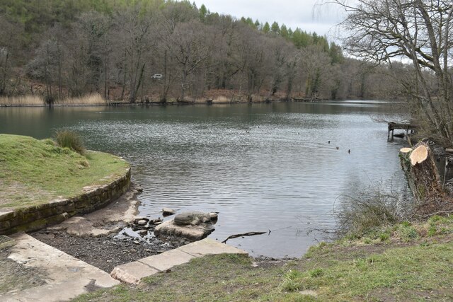
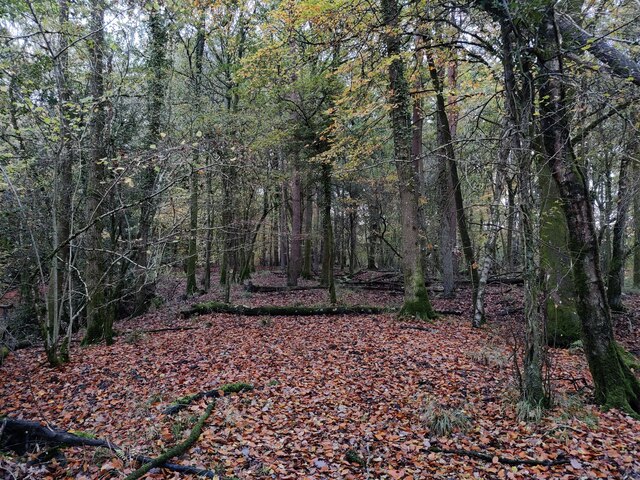
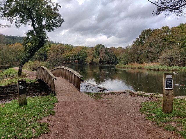
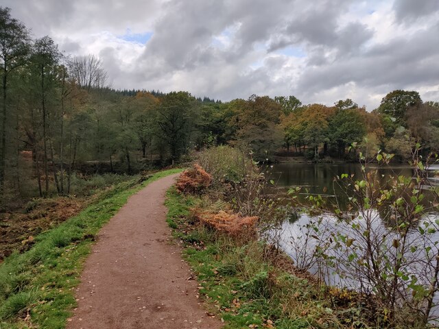
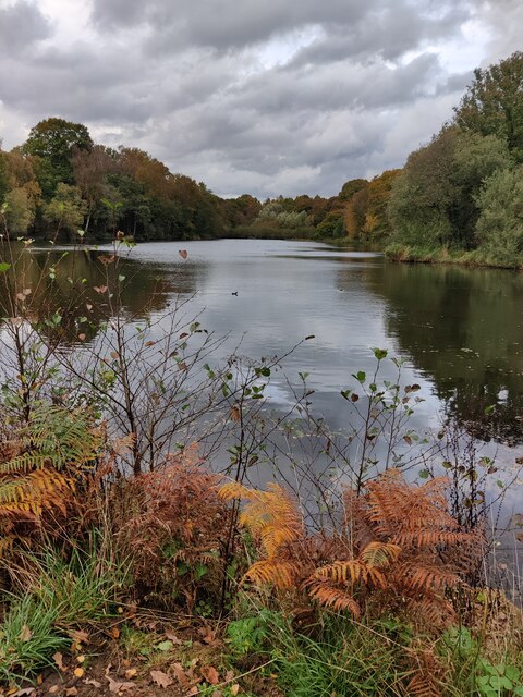
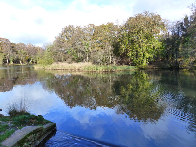
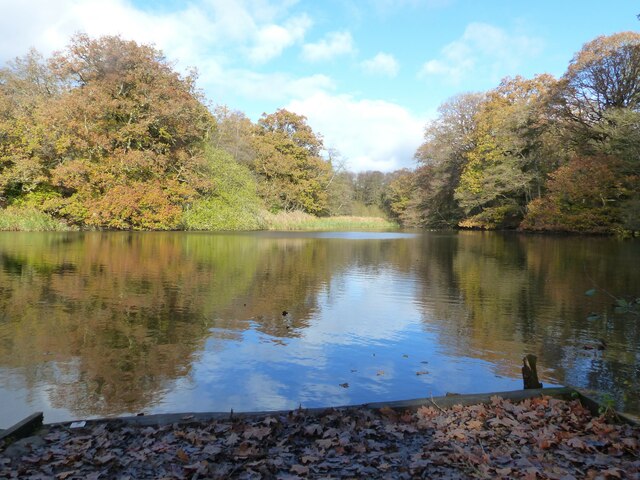
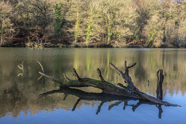
Birchill Inclosure is a picturesque woodland located in the county of Gloucestershire, England. It encompasses an area of approximately 500 acres and is known for its diverse ecosystem and natural beauty. The inclosure is situated within the larger Forest of Dean, a renowned ancient woodland that has been protected for centuries.

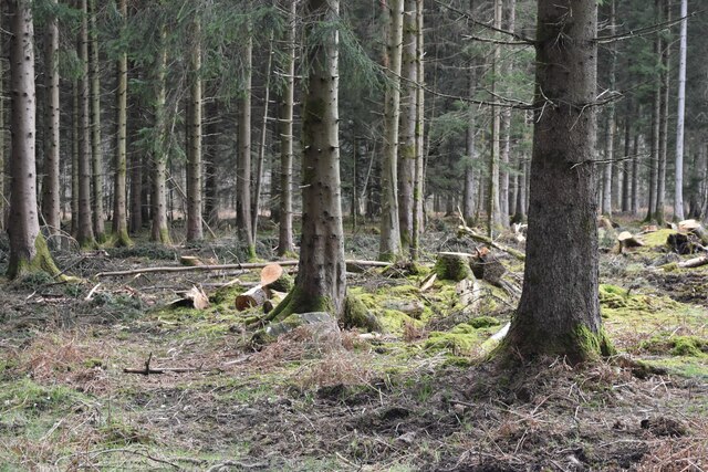
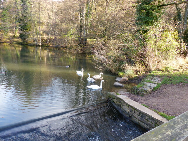
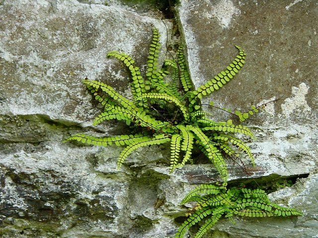
The woodland consists primarily of birch and oak trees, which provide a lush and verdant canopy. The forest floor is carpeted with a variety of mosses, ferns, and wildflowers, creating a rich and vibrant undergrowth. This diverse habitat supports a wide range of wildlife, including deer, foxes, badgers, and numerous bird species.

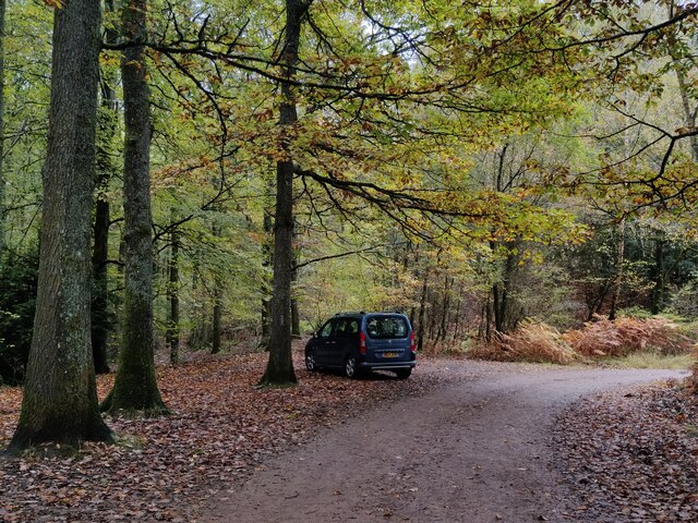
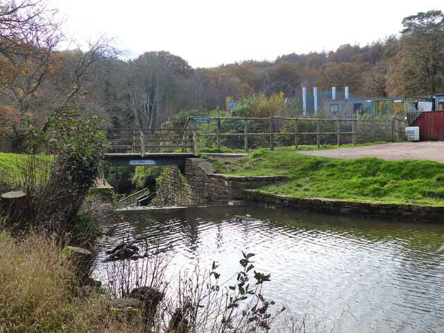
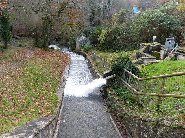
Birchill Inclosure offers visitors a tranquil and peaceful environment to explore and enjoy nature. It is crisscrossed by a network of well-maintained footpaths and bridleways, allowing for easy access and navigation. The inclosure also features a number of picnic areas and benches, providing the perfect spot for a leisurely lunch or a moment of relaxation.

Aside from its natural beauty, Birchill Inclosure holds historical significance as well. It is believed to have been used for timber production in the past, contributing to the local economy. Today, it serves as a popular recreational area for locals and tourists alike, attracting visitors with its scenic views, abundance of wildlife, and opportunities for outdoor activities such as hiking, cycling, and horseback riding.

Overall, Birchill Inclosure is a treasured gem within the Forest of Dean, offering a tranquil escape into nature and a chance to immerse oneself in the beauty of Gloucestershire's woodlands.

If you have any feedback on the listing, please let us know in the comments section below.

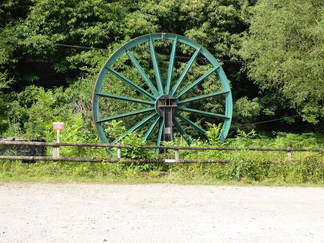
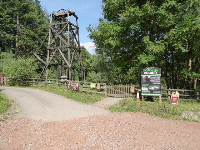
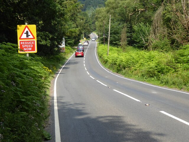
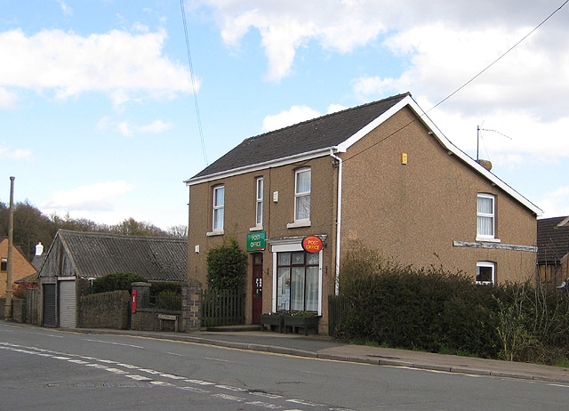
Birchill Inclosure Images

Images are sourced within 2km of 51.788668/-2.5916302 or Grid Reference SO5910. Thanks to Geograph Open Source API. All images are credited.

A pithead mine wheel A pithead mine wheel at Hopewell Colliery Museum.
A pithead mine wheel
A pithead mine wheel at Hopewell Colliery Museum.
Hopewell Colliery Museum In the winter Hopewell Colliery is a working mine, in the summer it is a tourist attraction offering underground tours of the mine.
Hopewell Colliery Museum
In the winter Hopewell Colliery is a working mine, in the summer it is a tourist attraction offering underground tours of the mine.
Speech House Road The A4136, Speech House Road approaching the staggered crossroad at its junction with the B4234.
Speech House Road
The A4136, Speech House Road approaching the staggered crossroad at its junction with the B4234.
View into woodland at Upper Whitelea Green
Southern end of Cannop Ponds
Woodland at Cannop Ponds
Cannop Ponds in the Forest of Dean
Path at Cannop Ponds
Cannop Ponds in the Forest of Dean
Car park at Cannop Ponds
Swan family in the upper pond, Cannop Ponds, Forest of Dean
The upper pond, Cannop Ponds, Forest of Dean At time of posting, Forestry England proposes to drain these ponds, owing to the expense of maintaining the dams to be fit for purpose. 
<span class="nowrap"><a title="https://www.forestryengland.uk/article/the-future-cannop-ponds" rel="nofollow ugc noopener" href="https://www.forestryengland.uk/article/the-future-cannop-ponds">Link</a><img style="margin-left:2px;" alt="External link" title="External link - shift click to open in new window" src="https://s1.geograph.org.uk/img/external.png" width="10" height="10"/></span> 
Thousands of people have signed a petition against the plans.
The upper pond, Cannop Ponds, Forest of Dean
At time of posting, Forestry England proposes to drain these ponds, owing to the expense of maintaining the dams to be fit for purpose. LinkExternal link Thousands of people have signed a petition against the plans.
The lower and larger pond, Cannop Ponds, Forest of Dean The photo was taken from fishing stage no. 1. 
See also <a href="https://www.geograph.org.uk/photo/7345362">SO6010 : The upper pond, Cannop Ponds, Forest of Dean</a>
The lower and larger pond, Cannop Ponds, Forest of Dean
The photo was taken from fishing stage no. 1. See also SO6010 : The upper pond, Cannop Ponds, Forest of Dean
Footbridge and weir, Cannop Ponds, Forest of Dean See also <a href="https://www.geograph.org.uk/photo/7345362">SO6010 : The upper pond, Cannop Ponds, Forest of Dean</a>
Footbridge and weir, Cannop Ponds, Forest of Dean
A "Mandarin Tree" - roosting mandarin ducks, Cannop Ponds, Forest of Dean See also <a href="https://www.geograph.org.uk/photo/7345362">SO6010 : The upper pond, Cannop Ponds, Forest of Dean</a>
A "Mandarin Tree" - roosting mandarin ducks, Cannop Ponds, Forest of Dean
Looking down the channel from the lower pond at Cannop Ponds, Forest of Dean See also <a href="https://www.geograph.org.uk/photo/7345362">SO6010 : The upper pond, Cannop Ponds, Forest of Dean</a>
Looking down the channel from the lower pond at Cannop Ponds, Forest of Dean
Drowned trees On either side of the lower pond at Cannop.
Drowned trees
On either side of the lower pond at Cannop.
Show me another place!

Birchill Inclosure is located at Grid Ref: SO5910 (Lat: 51.788668, Lng: -2.5916302)

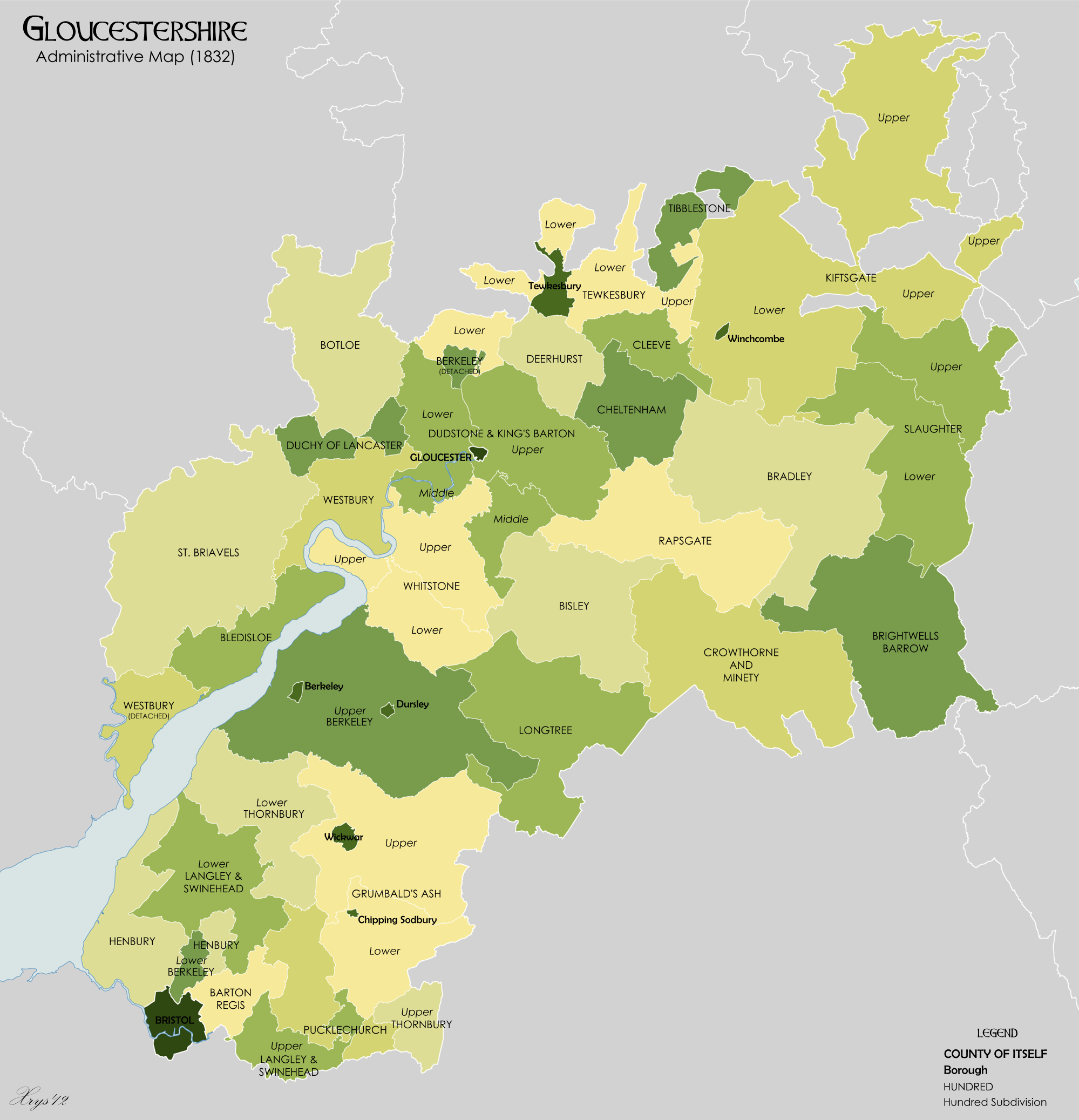
Administrative County: Gloucestershire

District: Forest of Dean

Police Authority: Gloucestershire

What 3 Words

///convey.reshape.thrusters. Near Coleford, Gloucestershire

Related Wikis

Nearby Amenities

Located within 500m of 51.788668,-2.5916302
Give Way
Direction: forward
Lat/Long: 51.7890795/-2.5981161
Give Way
Direction: backward
Lat/Long: 51.7894662/-2.5983752
Power: pole
Lat/Long: 51.7930426/-2.5926548
Power: pole
Lat/Long: 51.7844249/-2.5935017
Power: pole
Lat/Long: 51.7853159/-2.5933984
Power: pole
Lat/Long: 51.786197/-2.593389
Power: pole
Lat/Long: 51.7877193/-2.5933206
Power: pole
Lat/Long: 51.7885953/-2.5933018
Power: pole
Lat/Long: 51.7894812/-2.5932241
Power: pole
Lat/Long: 51.7903622/-2.5931543
Power: pole
Lat/Long: 51.7912448/-2.5929907
Power: pole
Lat/Long: 51.7921191/-2.5928673
The data included in this document is from www.openstreetmap.org. The data is made available under ODbL.

Have you been to Birchill Inclosure?

Leave your review of Birchill Inclosure below (or comments, questions and feedback).