Greengill Plantation

Wood, Forest in Westmorland Eden

England

Greengill Plantation

Morland Church The lower part of the tower of this church is Saxon.  The transepts were built c.1225.
Morland Church Credit: Humphrey Bolton

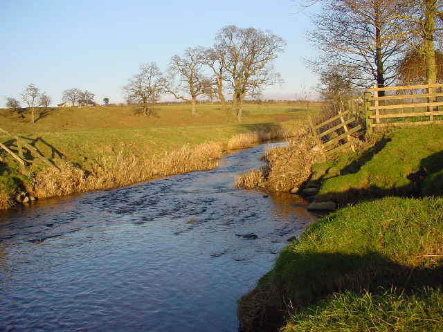
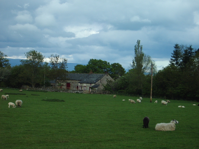
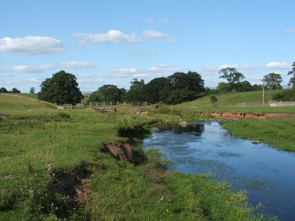
Greengill Plantation is a sprawling woodland located in the picturesque county of Westmorland, nestled in the heart of the English countryside. Known for its dense and diverse forest, Greengill Plantation spans over hundreds of acres, offering a haven for wildlife and a tranquil retreat for nature enthusiasts.

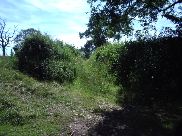
The plantation is predominantly composed of woodlands, boasting a rich variety of tree species such as oak, beech, and ash. These towering giants create a majestic canopy, filtering sunlight and casting dappled shadows on the forest floor. The lush undergrowth is home to an array of flora, including ferns, bluebells, and wild garlic, adding bursts of color and fragrance to the landscape.

Greengill Plantation is a sanctuary for wildlife, providing a habitat for numerous species. The forest is teeming with an abundance of birdlife, including woodpeckers, owls, and songbirds. Deer and foxes are frequently spotted roaming the woodland, while smaller mammals like rabbits and squirrels scuttle among the trees.

Visitors to Greengill Plantation can explore the vast network of walking trails that wind through the forest, offering a chance to immerse oneself in the natural beauty and tranquility of the surroundings. The plantation also provides a popular venue for outdoor activities such as hiking, birdwatching, and photography.

Greengill Plantation is not only a haven for nature lovers but also an important ecosystem, playing a vital role in maintaining biodiversity and preserving the natural heritage of Westmorland. Its serene ambiance and stunning landscapes make it a cherished destination for those seeking solace in the embrace of nature.

If you have any feedback on the listing, please let us know in the comments section below.

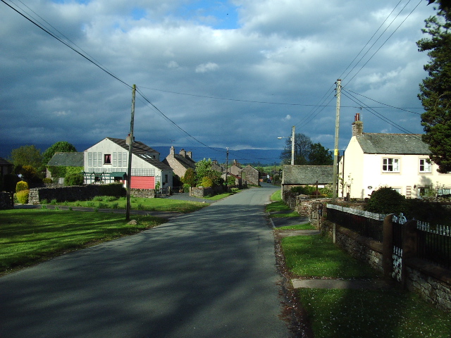
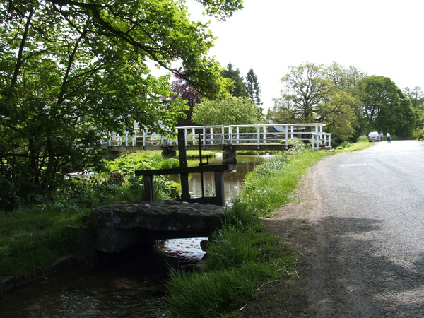
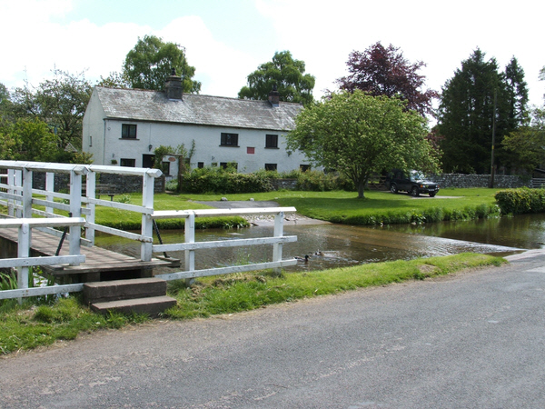
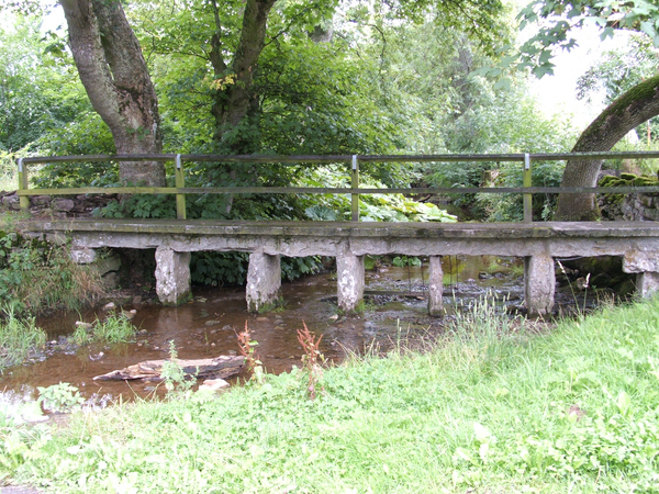
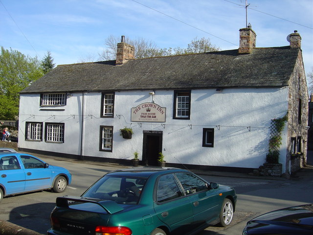
Greengill Plantation Images

Images are sourced within 2km of 54.59825/-2.6317818 or Grid Reference NY5922. Thanks to Geograph Open Source API. All images are credited.

Morland Church The lower part of the tower of this church is Saxon.  The transepts were built c.1225.
Morland Church
The lower part of the tower of this church is Saxon. The transepts were built c.1225.
Farm Buildings At Street House Farm
Farm Buildings
At Street House Farm
Morland Beck This tiny meander is due to become a cut-off.
Morland Beck
This tiny meander is due to become a cut-off.
Spring Unmarked on map, unlike the one in the opposite field, which can't be seen! Located on the sandstone-limestone boundary.
Spring
Unmarked on map, unlike the one in the opposite field, which can't be seen! Located on the sandstone-limestone boundary.
Sandy Ford The Trough Gill has brought down a quantity of sand from the soft sandstone rocks, forming a mini beach.
Sandy Ford
The Trough Gill has brought down a quantity of sand from the soft sandstone rocks, forming a mini beach.
River Leith Temporary notices advise not to use because of sewage pollution. Taken next to the private-keepout house of Braemar.
River Leith
Temporary notices advise not to use because of sewage pollution. Taken next to the private-keepout house of Braemar.
Mealy Syke
Mealy Syke
Ex-Wesley Methodist Chapel, Newby Head, Newby
Inscribed Stone Found above the door of the porch in the old Methodist chapel.
Inscribed Stone
Found above the door of the porch in the old Methodist chapel.
Main road through Newby
Bridge over Morland Beck
Ford at Morland
Ford at Morland
Bridleway to Howgill Looking at the growth of vegetation it is not one of the busy bridleways
Bridleway to Howgill
Looking at the growth of vegetation it is not one of the busy bridleways
Footbridge across Morland Beck Morland Beck just North of Morland
Footbridge across Morland Beck
Morland Beck just North of Morland
St Cuthbert's Church St Cuthbert's Church - Cliburn.
St Cuthbert's Church
St Cuthbert's Church - Cliburn.
Window Window in the porch of St Cuthbert's Church - Cliburn.
Window
Window in the porch of St Cuthbert's Church - Cliburn.
St Lawrence's Church. Church in Morland with a Saxon Tower.
St Lawrence's Church.
Church in Morland with a Saxon Tower.
Footbridge over Newby Beck Footbridge at Newby End.
Footbridge over Newby Beck
Footbridge at Newby End.
Show me another place!

Greengill Plantation is located at Grid Ref: NY5922 (Lat: 54.59825, Lng: -2.6317818)

Administrative County: Cumbria

District: Eden

Police Authority: Cumbria

What 3 Words

///warms.various.arranger. Near Shap, Cumbria

Related Wikis

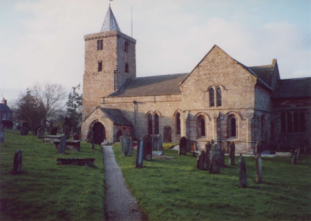
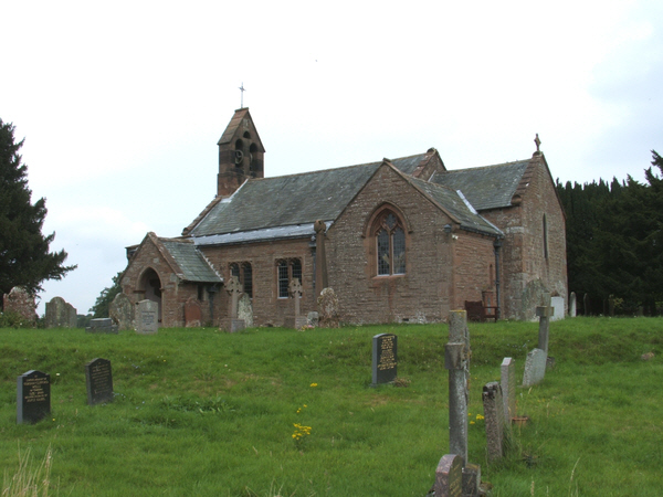
St Laurence's Church, Morland

St Laurence's Church is in the village of Morland, Cumbria, England. It is an active Anglican parish church in the deanery of Appleby, the archdeaconry...

Morland, Cumbria

Morland is a village and civil parish in the rolling hills of the Eden Valley in the Eden District of Cumbria, England. It lies within the historic county...

Newby, Cumbria

Newby is a village and civil parish in the Eden district of the county of Cumbria, England. It is about 7 miles (11 km) from the large town of Penrith...

Crossrigg Hall

Crossrigg Hall is a country house in the civil parish of Bolton, Cumbria in the northern United Kingdom. It was built in 1864 by Lieutenant Colonel Hugh...
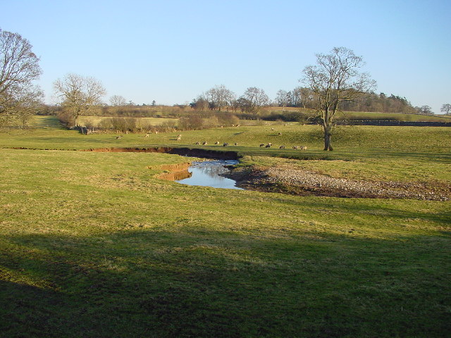
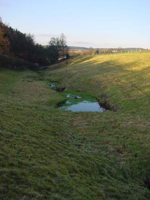
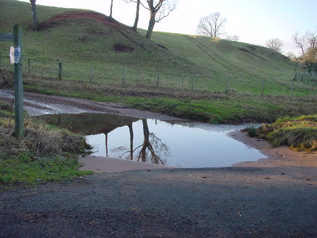
River Leith

The River Leith is a watercourse in Cumbria, a county of northwestern England. Rising at Shap, the Leith flows north alongside the M6 motorway via Great...

Cliburn, Cumbria

Cliburn is a village and civil parish in the Eden district of Cumbria, England. The civil parish includes the hamlet of Town Head. In 2001 the population...

Great Strickland

Great Strickland is a village and civil parish in the Eden Valley between the Cumbrian mountains in the west and the Pennines in the east. It is 5 miles...

Cliburn Moss

Cliburn Moss is a national nature reserve located northwest of the village of Cliburn, in the county of Cumbria, England. It contains wetland habitats...

Nearby Amenities

Located within 500m of 54.59825,-2.6317818
Powdonnet Well
Historic: monument
Lat/Long: 54.5982736/-2.6250387
Ford: yes
Seasonal: no
Lat/Long: 54.5959503/-2.6290733
Generator Method: photovoltaic
Generator Output Electricity: yes
Generator Source: solar
Generator Type: solar_photovoltaic_panel
Location: roof
Power: generator
Lat/Long: 54.5963307/-2.6268675
Generator Method: photovoltaic
Generator Output Electricity: yes
Generator Source: solar
Generator Type: solar_photovoltaic_panel
Location: roof
Power: generator
Lat/Long: 54.5963019/-2.62696
Generator Method: photovoltaic
Generator Output Electricity: yes
Generator Source: solar
Generator Type: solar_photovoltaic_panel
Location: roof
Power: generator
Lat/Long: 54.5968132/-2.6258979
Generator Method: photovoltaic
Generator Output Electricity: yes
Generator Source: solar
Generator Type: solar_photovoltaic_panel
Location: roof
Power: generator
Lat/Long: 54.5964814/-2.6250597
Greengill Bunk Barn
Addr City: Penrith
Addr Housename: Greengill House
Addr Postcode: CA10 3AX
Addr Street: Morland
Email: enquiries@greengillholidays.co.uk
Internet Access: yes
Internet Access Fee: customers
Operator: Greengill Holidays
Phone: +44 1931 234 543
Tourism: chalet
Website: https://www.greengillholidays.co.uk/
Lat/Long: 54.5962795/-2.6275894
Greengill Campsite
Access: customers
Addr City: Penrith
Addr Housename: Greengill House
Addr Postcode: CA10 3AX
Addr Street: Morland
Dog: yes
Email: enquiries@greengillholidays.co.uk
Fee: yes
Operator: Greengill Holidays
Phone: +44 1931 234 543
Power Supply: yes
Toilets: yes
Tourism: camp_site
Website: https://www.greengillholidays.co.uk
Lat/Long: 54.5965876/-2.6278779
Barrier: stile
Material: stone
Lat/Long: 54.5959833/-2.6291855
Power: pole
Transformer: yes
Lat/Long: 54.5940592/-2.6314497
Power: pole
Lat/Long: 54.5944986/-2.6297217
Power: pole
Lat/Long: 54.5949868/-2.6277985
Power: pole
Lat/Long: 54.5952998/-2.6265726
Power: pole
Lat/Long: 54.5953453/-2.6263632
Power: pole
Lat/Long: 54.5960527/-2.626963
Power: pole
Lat/Long: 54.5969669/-2.626656
Power: pole
Lat/Long: 54.597724/-2.6268154
Power: pole
Lat/Long: 54.5983844/-2.6267726
Power: pole
Lat/Long: 54.599158/-2.6267321
Power: pole
Lat/Long: 54.5998405/-2.6266798
Power: pole
Lat/Long: 54.6007036/-2.6266393
Power: pole
Lat/Long: 54.5941759/-2.6315294
Power: pole
Lat/Long: 54.5948268/-2.6328671
Power: pole
Lat/Long: 54.595144/-2.6335335
The data included in this document is from www.openstreetmap.org. The data is made available under ODbL.

Have you been to Greengill Plantation?

Leave your review of Greengill Plantation below (or comments, questions and feedback).