Barr House Plantation

Wood, Forest in Lancashire Chorley

England

Barr House Plantation

Martin's Lane, Heath Charnock
Martin's Lane, Heath Charnock Credit: Gary Rogers

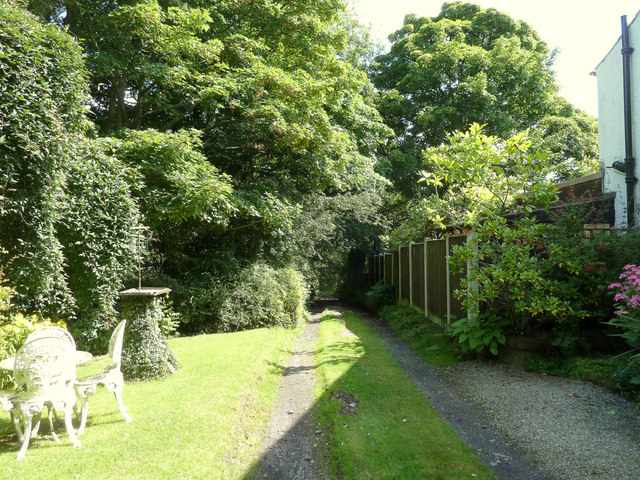
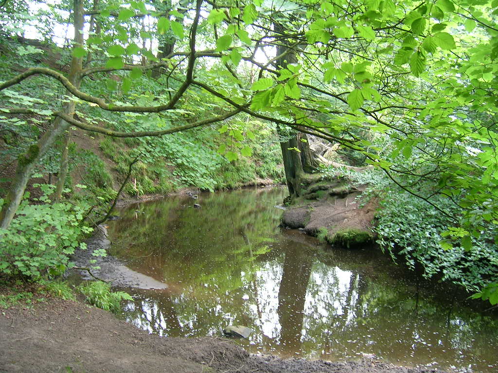
Barr House Plantation is a picturesque woodland located in the county of Lancashire, England. Situated in the larger area known as Wood, Forest, the plantation covers an expansive area of lush greenery and is a haven for nature enthusiasts and outdoor adventurers alike.

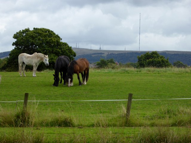
The plantation is known for its diverse range of plant species, including towering oak trees, vibrant wildflowers, and rare ferns. These flora provide a stunning backdrop for visitors who enjoy exploring the great outdoors or simply seeking solace in nature. The woodland is also home to various wildlife, such as squirrels, rabbits, and numerous species of birds, making it an ideal spot for birdwatching and wildlife photography.

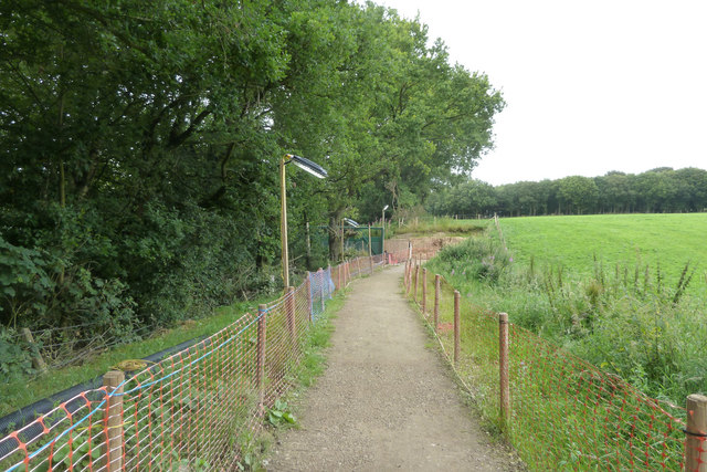
Barr House Plantation offers visitors a variety of activities to enjoy. There are several well-maintained walking trails, allowing hikers to immerse themselves in the tranquil surroundings while taking in the breathtaking views. For those seeking a more adrenaline-fueled experience, the plantation also offers mountain biking trails, providing an exhilarating ride through the rugged terrain.

Additionally, the woodland is equipped with picnic areas and benches, making it a popular spot for families and friends to gather for a leisurely lunch or a peaceful retreat. The plantation is open year-round, and each season brings its own unique charm, from the vibrant colors of autumn to the fresh blooms of spring.

Barr House Plantation is a true gem in Lancashire, offering a serene escape from the hustle and bustle of everyday life. With its natural beauty and range of activities, it is a must-visit destination for nature lovers and outdoor enthusiasts.

If you have any feedback on the listing, please let us know in the comments section below.

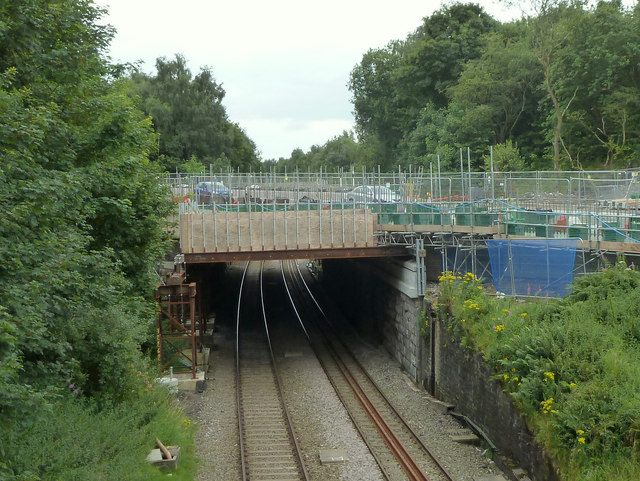
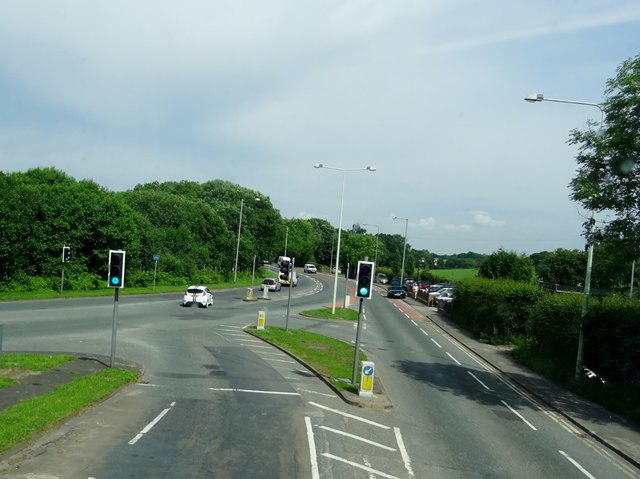
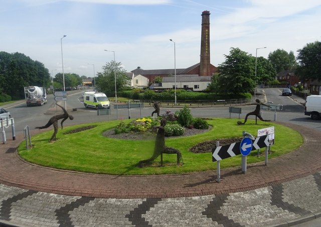
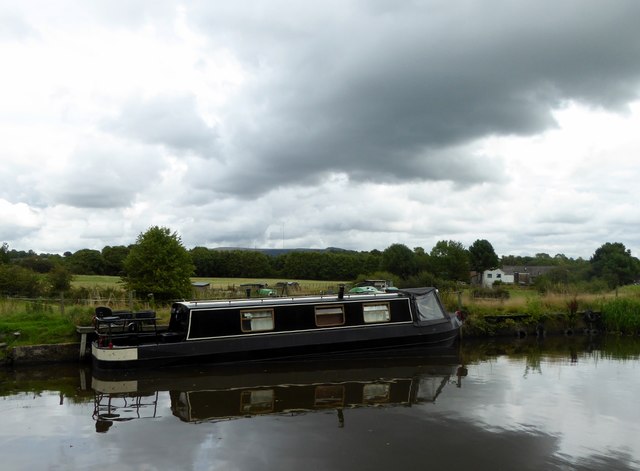
Barr House Plantation Images

Images are sourced within 2km of 53.631308/-2.6174979 or Grid Reference SD5915. Thanks to Geograph Open Source API. All images are credited.

Martin's Lane, Heath Charnock
Houses on Martin's Lane, Heath Charnock
Frederick's Ice Cream Shop, Bolton Road, Heath Charnock
Bridge over railway at Bretter's Farm
Temporary Footpath alongside the A673 at Heath Charnock Due to work on the bridge over the railway
Temporary Footpath alongside the A673 at Heath Charnock
Due to work on the bridge over the railway
Work on A673 bridge over railway at Heath Charnock
A673 meets the A6 at Skew Bridge
The Yarrow Bridge Public House outside Chorley standing by the River Yarrow.
The Yarrow Bridge
Public House outside Chorley standing by the River Yarrow.
Roundabout in Chorley One of several roundabouts in the town with wicker figures depicting various activities. This one has a sporting theme.
Roundabout in Chorley
One of several roundabouts in the town with wicker figures depicting various activities. This one has a sporting theme.
Myles Standish Way outside Chorley At its junction with the A6.
Myles Standish Way outside Chorley
At its junction with the A6.
Approaching Chorley town centre
Canal and cloud Foreboding cloud over the Leeds and Liverpool Canal near Adlington.
Canal and cloud
Foreboding cloud over the Leeds and Liverpool Canal near Adlington.
Horses in a field Next to the Leeds and Liverpool Canal near Adlington. In the background, the radio and T. V. masts on Winter Hill near Bolton.
Horses in a field
Next to the Leeds and Liverpool Canal near Adlington. In the background, the radio and T. V. masts on Winter Hill near Bolton.
Rawlinson Bridge Carrying Rawlinson Lane over the Leeds and Liverpool Canal near Adlington.
Rawlinson Bridge
Carrying Rawlinson Lane over the Leeds and Liverpool Canal near Adlington.
The A6 near Heath Charnock
Canal under a glowering sky The Leeds and Liverpool Canal near Eller Brook.
Canal under a glowering sky
The Leeds and Liverpool Canal near Eller Brook.
Leeds and Liverpool Canal From Rigshaw Bridge near White Bear Marina, Adlington.
Leeds and Liverpool Canal
From Rigshaw Bridge near White Bear Marina, Adlington.
Fuel Filling Station - Moor Road
Show me another place!

Barr House Plantation is located at Grid Ref: SD5915 (Lat: 53.631308, Lng: -2.6174979)

Administrative County: Lancashire

District: Chorley

Police Authority: Lancashire

What 3 Words

///hotel.carbon.noting. Near Chorley, Lancashire

Related Wikis

Duxbury Hall

Duxbury Hall was a 19th-century country house in Duxbury Park estate in Duxbury Woods, Duxbury, Lancashire that has been demolished. The hall was a plain...

Duxbury Woods

Duxbury Woods is an area of woodland and parkland situated in Chorley, Lancashire, at the foot of the West Pennine Moors. The area originally existed as...

Heath Charnock

Heath Charnock is a small village and civil parish of the Borough of Chorley in Lancashire, England. According to the United Kingdom Census 2001 it has...

Holy Cross Catholic High School, Chorley

Holy Cross Catholic High School is a Roman Catholic Voluntary aided comprehensive school in Chorley, Lancashire, England. The school provides co-educational...
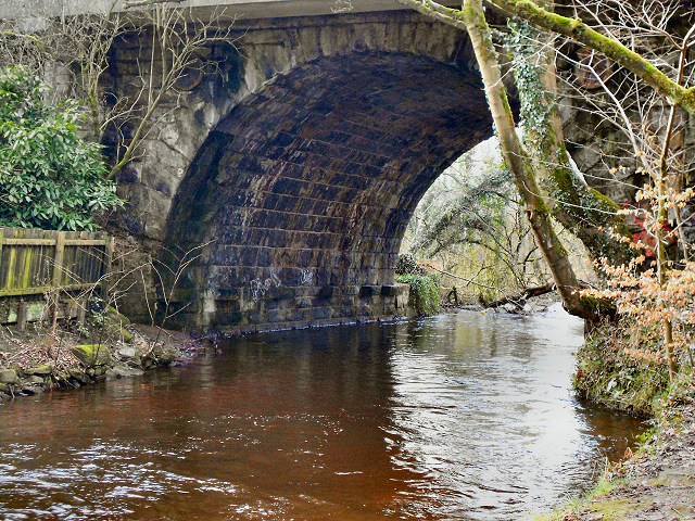
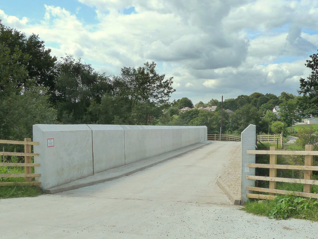
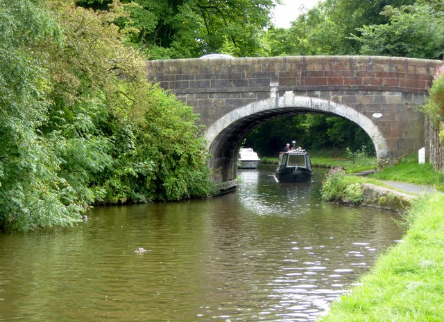
Yarrow Bridge

Yarrow Bridge is a small road bridge which crosses the River Yarrow in Chorley, Lancashire, England. The bridge carries the A6 road over the river. There...

Rawlinson Bridge railway station

Rawlinson Bridge was the first railway station in the Borough of Chorley in Lancashire, England. The station was located in the village of Heath Charnock...

Yarrow Valley Country Park

Yarrow Valley Country Park is a country park managed by Chorley Borough Council in Lancashire, England. It follows the River Yarrow for about 6 miles...

Albany Academy, Chorley

Albany Academy (formerly Albany Science College, Albany High School and St Alban's) is a secondary school with academy status located on the south side...

Nearby Amenities

Located within 500m of 53.631308,-2.6174979
Traffic Signals
Traffic Signals: signal
Traffic Signals Direction: forward
Lat/Long: 53.6335334/-2.6135399
Post Box
Collection Times: Mo-Fr 16:00; Sa 11:00
Operator: Royal Mail
Post Box Type: lamp
Ref: PR7 89
Lat/Long: 53.6340623/-2.6140022
Source: Yahoo imagery
Lat/Long: 53.6318839/-2.6153688
Source: Yahoo imagery
Lat/Long: 53.6319709/-2.6156498
Source: Yahoo imagery
Lat/Long: 53.6321335/-2.615991
Source: Yahoo imagery
Lat/Long: 53.6323441/-2.6161978
Source: Yahoo imagery
Lat/Long: 53.6326456/-2.6162444
Source: Yahoo imagery
Lat/Long: 53.6328865/-2.6161629
Source: Yahoo imagery
Lat/Long: 53.6330417/-2.6160803
Source: Yahoo imagery
Lat/Long: 53.6332265/-2.6161385
Source: Yahoo imagery
Lat/Long: 53.6333909/-2.6163569
Source: Yahoo imagery
Lat/Long: 53.6336918/-2.6174101
Source: Yahoo imagery
Lat/Long: 53.6338413/-2.6180718
Source: Yahoo imagery
Lat/Long: 53.633916/-2.6184971
Source: Yahoo imagery
Lat/Long: 53.6339067/-2.6187807
Source: Yahoo imagery
Lat/Long: 53.6338878/-2.6190101
Source: Yahoo imagery
Lat/Long: 53.6337809/-2.6194966
Source: Yahoo imagery
Lat/Long: 53.6337612/-2.6198947
Source: Yahoo imagery
Lat/Long: 53.6338693/-2.6205294
Source: Yahoo imagery
Lat/Long: 53.6339814/-2.6210493
Source: Yahoo imagery
Lat/Long: 53.63424/-2.621356
Source: Yahoo imagery
Lat/Long: 53.634517/-2.6215373
Source: Yahoo imagery
Lat/Long: 53.6349842/-2.6216513
Source: Yahoo imagery
Lat/Long: 53.6339221/-2.6201701
Turning Circle
Source: Yahoo imagery
Lat/Long: 53.634056/-2.6206243
Source: Yahoo imagery
Lat/Long: 53.6346012/-2.6193472
Source: Yahoo imagery
Lat/Long: 53.6350931/-2.6172975
Source: Yahoo imagery
Lat/Long: 53.6350882/-2.6169386
Source: Yahoo imagery
Lat/Long: 53.6348625/-2.6167447
Source: Yahoo imagery
Lat/Long: 53.6345177/-2.616547
Source: Yahoo imagery
Lat/Long: 53.6343789/-2.6166422
Source: Yahoo imagery
Lat/Long: 53.6337423/-2.6175842
Source: Yahoo imagery
Lat/Long: 53.6352513/-2.6147723
Source: Yahoo imagery
Lat/Long: 53.6350369/-2.6156039
Source: Yahoo imagery
Lat/Long: 53.6348441/-2.6194038
Source: Yahoo imagery
Lat/Long: 53.6351852/-2.6194028
Source: Yahoo imagery
Lat/Long: 53.6354537/-2.6191874
Source: Yahoo imagery
Lat/Long: 53.6355807/-2.6189801
Source: Yahoo imagery
Lat/Long: 53.6347847/-2.6155251
Source: Yahoo imagery
Lat/Long: 53.634293/-2.6155053
Source: Yahoo imagery
Lat/Long: 53.6339172/-2.6153406
Source: Yahoo imagery
Lat/Long: 53.6336141/-2.6152802
Source: Yahoo imagery
Lat/Long: 53.6342989/-2.6213718
Source: Yahoo imagery
Lat/Long: 53.6348014/-2.620279
Source: Yahoo imagery
Lat/Long: 53.6343927/-2.6145751
Source: Yahoo imagery
Lat/Long: 53.6319702/-2.6154031
Source: Yahoo imagery
Lat/Long: 53.6323828/-2.616112
Source: Yahoo imagery
Lat/Long: 53.6332332/-2.6160208
Source: Yahoo imagery
Lat/Long: 53.6339787/-2.618685
Source: Yahoo imagery
Lat/Long: 53.6337333/-2.6198097
Turning Loop
Lat/Long: 53.6326642/-2.6158253
Fast Food
Fredericks Ice Cream
Addr City: Chorley
Addr Postcode: PR7 4AL
Addr Street: Bolton Road
Addr Subdistrict: Heath Charnock
Lat/Long: 53.6331974/-2.6130178
Restaurant
Nineteen
Addr City: Chorley
Addr Place: Duxbury
Addr Postcode: PR7 4AT
Addr Street: Duxbury Hall Road
Fhrs Id: 377056
Outdoor Seating: yes
Wheelchair: yes
Lat/Long: 53.6309617/-2.6248366
Bus Stop
Wigan Lane
Bus: yes
Naptan AtcoCode: 2500DCL490
Naptan CommonName: Wigan Lane
Naptan Indicator: by
Naptan NaptanCode: landmatp
Naptan Verified: no
Public Transport: platform
Lat/Long: 53.6343727/-2.6143063
Bus Stop
Marley Court
Bus: yes
Naptan AtcoCode: 2500IMG2488
Naptan CommonName: Marley Court
Naptan Indicator: by
Naptan NaptanCode: langdgdj
Naptan Verified: no
Public Transport: platform
Lat/Long: 53.6320816/-2.6123676
Bus Stop
Marley Court
Bus: yes
Naptan AtcoCode: 2500LAA15734
Naptan CommonName: Marley Court
Naptan Indicator: opp
Naptan NaptanCode: lanjtdap
Naptan Verified: no
Public Transport: platform
Lat/Long: 53.6315522/-2.6121936
Barrier: bollard
Lat/Long: 53.634109/-2.6202672
Turning Circle
Lat/Long: 53.6340273/-2.6202951
Direction: ESE
Generator Method: photovoltaic
Generator Output Electricity: yes
Generator Solar Modules: 16
Generator Source: solar
Generator Type: solar_photovoltaic_panel
Location: roof
Power: generator
Lat/Long: 53.6328982/-2.6153096
Direction: S
Generator Method: photovoltaic
Generator Output Electricity: yes
Generator Solar Modules: 16
Generator Source: solar
Generator Type: solar_photovoltaic_panel
Location: roof
Power: generator
Lat/Long: 53.6330547/-2.6152383
A6 Physiotherapy
Health Speciality Physiotherapy: yes
Office: therapist
Lat/Long: 53.6333732/-2.6126104
Traffic Signals
Traffic Signals: signal
Traffic Signals Direction: forward
Lat/Long: 53.6332752/-2.6136083
Traffic Signals
Traffic Signals: signal
Traffic Signals Direction: backward
Lat/Long: 53.6331322/-2.6132601
The data included in this document is from www.openstreetmap.org. The data is made available under ODbL.

Have you been to Barr House Plantation?

Leave your review of Barr House Plantation below (or comments, questions and feedback).