Broomy Green Wood

Wood, Forest in Herefordshire

England

Broomy Green Wood

Fruit trees and mistletoe Very scenic countryside off the beaten track in Herefordshire.
Fruit trees and mistletoe Credit: Jonathan Billinger

Broomy Green Wood is a picturesque woodland located in Herefordshire, England. Covering an area of approximately 100 acres, it is a popular destination for nature lovers and outdoor enthusiasts. The wood is situated on the outskirts of the charming village of Broomy Green, surrounded by rolling hills and idyllic countryside.

This ancient woodland boasts a rich diversity of flora and fauna, providing a habitat for a wide range of species. Visitors can expect to encounter a variety of trees, including oak, birch, and beech, which create a dense canopy, allowing only dappled sunlight to filter through to the forest floor. The woodland is also home to several wildflowers, such as bluebells and primroses, which carpet the ground in vibrant colors during the springtime.

Broomy Green Wood offers a network of well-maintained walking paths, allowing visitors to explore its hidden corners and discover its natural wonders. The peaceful atmosphere and tranquil surroundings make it an ideal location for a leisurely stroll or a calming picnic amidst nature.

The wood is also known for its abundant wildlife. Bird enthusiasts can spot a variety of species, including woodpeckers, owls, and thrushes, while lucky visitors may catch a glimpse of elusive mammals such as deer and foxes. The wood is also home to a diverse array of insects and other small creatures, making it a fascinating destination for nature photographers and wildlife enthusiasts.

Overall, Broomy Green Wood in Herefordshire offers a delightful escape from the hustle and bustle of everyday life, providing a serene retreat for those seeking solace in nature's embrace.

If you have any feedback on the listing, please let us know in the comments section below.

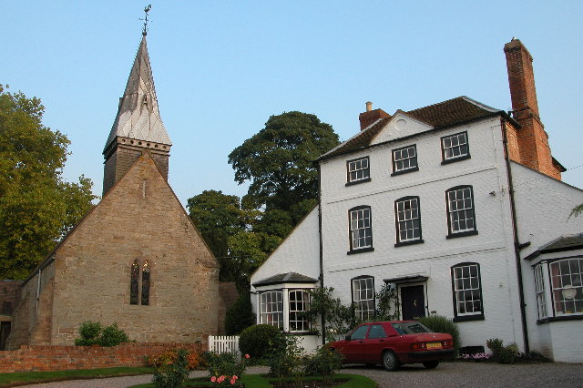
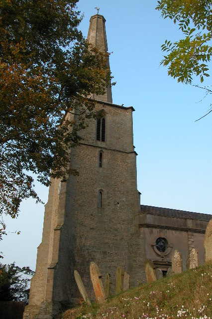
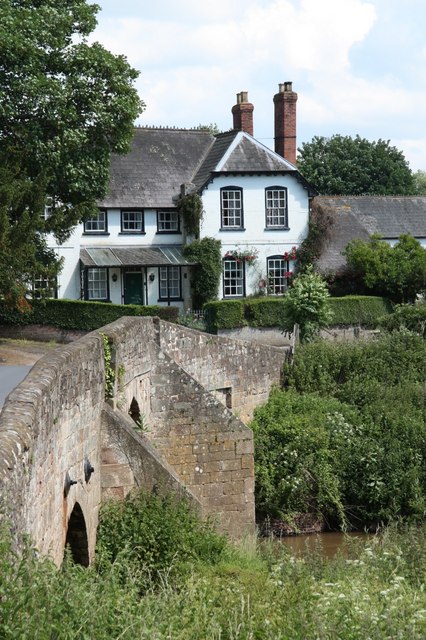
Broomy Green Wood Images

Images are sourced within 2km of 52.046147/-2.5977233 or Grid Reference SO5938. Thanks to Geograph Open Source API. All images are credited.

Fruit trees and mistletoe Very scenic countryside off the beaten track in Herefordshire.
Fruit trees and mistletoe
Very scenic countryside off the beaten track in Herefordshire.
View to Backbury Hill Old cider orchards can be seen with plenty of mistletoe.
View to Backbury Hill
Old cider orchards can be seen with plenty of mistletoe.
Field gateway Field gateway off a track on Sheepcote Hill above Tarrington.  The Malvern Hills can be seen in the distance beyond the Leadon valley which is shrouded in low cloud.
Field gateway
Field gateway off a track on Sheepcote Hill above Tarrington. The Malvern Hills can be seen in the distance beyond the Leadon valley which is shrouded in low cloud.
Muddy orchard at Checkley Livestock feeding at this feeder has made this corner of this mature orchard muddy.
Muddy orchard at Checkley
Livestock feeding at this feeder has made this corner of this mature orchard muddy.
Road approaching Checkley Backbury Hill can be seen in the distance.
Road approaching Checkley
Backbury Hill can be seen in the distance.
Farmland near Checkley
A steaming muck bury A muck bury steaming on a cold January day in farmland near Checkley.
A steaming muck bury
A muck bury steaming on a cold January day in farmland near Checkley.
Muck bury in a field Muck bury in a field, left to rot down before being spread on the land.
Muck bury in a field
Muck bury in a field, left to rot down before being spread on the land.
Track and footpath near Canwood Farm Footpath to Checkley; Backbury Hill can be seen in the background.
Track and footpath near Canwood Farm
Footpath to Checkley; Backbury Hill can be seen in the background.
Tree in an arable field Tree in an arable field near Checkley.
Tree in an arable field
Tree in an arable field near Checkley.
Converted Oast Houses, Perton Farm Originally four square kilns,which were converted into two dwellings, then converted into one large house. Outer two cowls are fixed louvres, inner two have fixed Herefordshire cowls, of wooden slats and metal bands.
Converted Oast Houses, Perton Farm
Originally four square kilns,which were converted into two dwellings, then converted into one large house. Outer two cowls are fixed louvres, inner two have fixed Herefordshire cowls, of wooden slats and metal bands.
Dormington church St Peter's church, Dormington dates from the 13th century and was heavily restored in the 19th century.
Dormington church
St Peter's church, Dormington dates from the 13th century and was heavily restored in the 19th century.
Oast House, Claston Farm, Dormington
Oast House at Perton Farm, Perton
Hereford and Ledbury road signs
Hop fields by A438
Hop fields by A438
Show me another place!

Broomy Green Wood is located at Grid Ref: SO5938 (Lat: 52.046147, Lng: -2.5977233)

Unitary Authority: County of Herefordshire

Police Authority: West Mercia

What 3 Words

///refrain.consoles.tangling. Near Lugwardine, Herefordshire

Related Wikis

Dormington

Dormington is a village and civil parish in Herefordshire, in the West Midlands of England. Dormington village is at the north of its parish, 5 miles...

Perton, Herefordshire

Perton is a hamlet in the English county of Herefordshire. It is in the civil parish of Stoke Edith being west of the village of that name. == External... ==

Stoke Edith

Stoke Edith is a village in the English county of Herefordshire, situated on the A438 road between Hereford and Ledbury. The population in 1801 of Stoke...

Mordiford

Mordiford is a village and civil parish in Herefordshire, England on the B4224 Hereford to Mitcheldean road 4 miles (6 km) east-southeast of the city of...

Nearby Amenities

Located within 500m of 52.046147,-2.5977233
Bus Stop
Old Post Office
Naptan AtcoCode: 2090A129900
Naptan Bearing: S
Naptan BusStopType: CUS
Naptan CommonName: Old Post Office
Naptan Indicator: adj
Naptan Landmark: Telephone Box
Naptan NaptanCode: heradwpw
Naptan Street: N/K
Naptan Verified: no
Source: naptan_import
Lat/Long: 52.0425608/-2.5939675
Bus Stop
Old Post Office
Naptan AtcoCode: 2090A19718
Naptan Bearing: NE
Naptan BusStopType: CUS
Naptan CommonName: Old Post Office
Naptan Indicator: opp
Naptan Landmark: Telephone Box
Naptan NaptanCode: heramjat
Naptan Street: N/K
Naptan Verified: no
Source: naptan_import
Lat/Long: 52.042569/-2.5941036
Fixme: incomplete
Lat/Long: 52.0436455/-2.5940443
Fixme: incomplete
Lat/Long: 52.0449378/-2.5953979
Barrier: stile
Lat/Long: 52.0437297/-2.5940073
Fixme: incomplete
Lat/Long: 52.0437409/-2.5941482
Generator Method: photovoltaic
Generator Output Electricity: yes
Generator Source: solar
Generator Type: solar_photovoltaic_panel
Location: roof
Power: generator
Lat/Long: 52.0436934/-2.6027995
Generator Method: photovoltaic
Generator Output Electricity: yes
Generator Source: solar
Generator Type: solar_photovoltaic_panel
Location: roof
Power: generator
Lat/Long: 52.0451006/-2.5998679
Tower Hill Cottage
Power: pole
Transformer: distribution
Voltage Primary: 11000
Lat/Long: 52.0504122/-2.5959344
Power: pole
Lat/Long: 52.0499388/-2.5947207
Wootton Farm
Power: pole
Transformer: distribution
Voltage Primary: 11000
Lat/Long: 52.0494893/-2.593554
Power: pole
Lat/Long: 52.0492394/-2.5924824
Power: pole
Lat/Long: 52.0484889/-2.5927989
Power: pole
Lat/Long: 52.0476484/-2.5922343
Power: pole
Lat/Long: 52.0468376/-2.5916979
Swilgrove Common
Power: pole
Transformer: distribution
Voltage Primary: 11000
Lat/Long: 52.0457291/-2.5942869
Power: pole
Lat/Long: 52.0457848/-2.5934433
Power: pole
Lat/Long: 52.0458367/-2.5925998
Power: pole
Lat/Long: 52.0459349/-2.5911366
Power: pole
Lat/Long: 52.0451299/-2.590625
The Steps
Power: pole
Transformer: distribution
Voltage Primary: 11000
Lat/Long: 52.0425773/-2.5935379
Power: pole
Lat/Long: 52.0427077/-2.5941856
Power: pole
Lat/Long: 52.0432562/-2.5947623
Power: pole
Lat/Long: 52.0437412/-2.5952639
Power: pole
Lat/Long: 52.0436806/-2.5964662
Checkley Field
Power: pole
Transformer: distribution
Voltage Primary: 11000
Lat/Long: 52.0434451/-2.5975558
Power: pole
Lat/Long: 52.043954/-2.5973593
Power: pole
Lat/Long: 52.0442196/-2.5982425
Broomy Green
Power: pole
Transformer: distribution
Voltage Primary: 11000
Lat/Long: 52.045541/-2.5996359
Power: pole
Lat/Long: 52.0449125/-2.5990686
Power: pole
Lat/Long: 52.0441833/-2.5991638
Power: pole
Lat/Long: 52.0441685/-2.5996667
Power: pole
Lat/Long: 52.0441405/-2.6003708
Power: pole
Lat/Long: 52.0440992/-2.6011527
Backbury House
Power: pole
Transformer: distribution
Voltage Primary: 11000
Lat/Long: 52.0437816/-2.6016931
Power: pole
Lat/Long: 52.0433263/-2.6024589
Power: pole
Lat/Long: 52.0433238/-2.602994
Fixme: Public Footpath continues SE across field here.
Lat/Long: 52.0441625/-2.6012559
The data included in this document is from www.openstreetmap.org. The data is made available under ODbL.

Have you been to Broomy Green Wood?

Leave your review of Broomy Green Wood below (or comments, questions and feedback).