Broad Grove

Wood, Forest in Herefordshire

England

Broad Grove

Stoke Edith Church St Mary the Virgin's Church, Stoke Edith
Stoke Edith Church Credit: Philip Halling

Broad Grove is a picturesque woodland located in the county of Herefordshire, England. Situated in the heart of the region, it covers an expansive area and is renowned for its dense forest and natural beauty. The woodland, named after its broad-leafed trees, provides a serene sanctuary for nature enthusiasts and visitors seeking tranquility.

The forest is a haven for a diverse range of flora and fauna, with a plethora of indigenous species thriving within its boundaries. Majestic oak, beech, and chestnut trees dominate the landscape, creating a stunning canopy that filters sunlight and creates a unique ambiance. The forest floor is adorned with a rich carpet of ferns, wildflowers, and moss, adding to the area's enchanting allure.

Broad Grove is home to a myriad of wildlife, including deer, foxes, badgers, and an array of bird species. Nature lovers can often spot red kites soaring above the treetops or catch glimpses of elusive woodland creatures during their exploration.

The woodland offers a plethora of recreational activities for visitors. Adventurous souls can embark on scenic hikes along well-marked trails, immersing themselves in the beauty of the surroundings. The forest also provides ample opportunities for birdwatching, picnicking, and photography, allowing visitors to connect with nature and capture its essence.

Broad Grove is not only a natural retreat but also a site of historical significance. The wood has been a part of the local heritage for centuries, with remnants of ancient settlements and archaeological sites scattered throughout the area. This adds an intriguing layer of intrigue and fascination, making Broad Grove a truly captivating destination for both nature lovers and history enthusiasts alike.

If you have any feedback on the listing, please let us know in the comments section below.
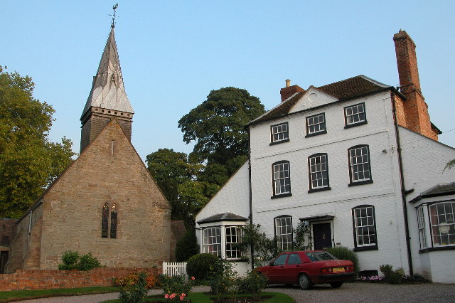
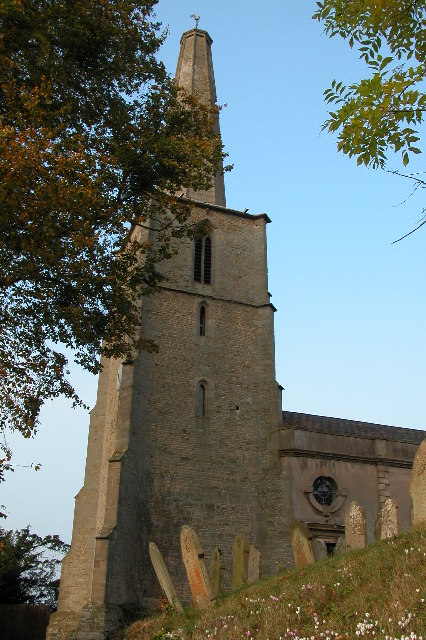
Broad Grove Images

Images are sourced within 2km of 52.049522/-2.5988912 or Grid Reference SO5939. Thanks to Geograph Open Source API. All images are credited.

Stoke Edith Church St Mary the Virgin's Church, Stoke Edith
Stoke Edith Church
St Mary the Virgin's Church, Stoke Edith
St Edith's well Legend has it that St Edith herself carried water for mortar for original church.  When she became exhausted a well miraculously sprung up nearby.  St Edith's well still exists, with supposed healing properties, although now guarded by these railings, reputedly installed because the nearby residents got fed up with visiting pilgrims!
St Edith's well
Legend has it that St Edith herself carried water for mortar for original church. When she became exhausted a well miraculously sprung up nearby. St Edith's well still exists, with supposed healing properties, although now guarded by these railings, reputedly installed because the nearby residents got fed up with visiting pilgrims!
Stoke Edith The arch of <a href="https://www.geograph.org.uk/photo/552378">SO6040 : St Edith's well</a> can be seen to the right whilst behind is St Mary's church.  Legend has it that if you walk 7 times around church saying Lord's prayer backwards then peep through church keyhole and you will see the devil! One possible alternative is to look at the top of the gatepost!!
Stoke Edith
The arch of SO6040 : St Edith's well can be seen to the right whilst behind is St Mary's church. Legend has it that if you walk 7 times around church saying Lord's prayer backwards then peep through church keyhole and you will see the devil! One possible alternative is to look at the top of the gatepost!!
Plastic Plants Plastic increases crop growth in this field near Stoke Edith.
Plastic Plants
Plastic increases crop growth in this field near Stoke Edith.
Converted Oast Houses, Perton Farm Originally four square kilns,which were converted into two dwellings, then converted into one large house. Outer two cowls are fixed louvres, inner two have fixed Herefordshire cowls, of wooden slats and metal bands.
Converted Oast Houses, Perton Farm
Originally four square kilns,which were converted into two dwellings, then converted into one large house. Outer two cowls are fixed louvres, inner two have fixed Herefordshire cowls, of wooden slats and metal bands.
Bridge over Footpath at Stoke Edith
Dormington church St Peter's church, Dormington dates from the 13th century and was heavily restored in the 19th century.
Dormington church
St Peter's church, Dormington dates from the 13th century and was heavily restored in the 19th century.
Oast House, Claston Farm, Dormington
Oast House at Perton Farm, Perton
Hereford and Ledbury road signs
Hop fields by A438
Hop fields by A438
View to Backbury Hill Old cider orchards can be seen with plenty of mistletoe.
View to Backbury Hill
Old cider orchards can be seen with plenty of mistletoe.
Swillow Wood View to Swillow Wood on Sheepcote Hill above the village of Tarrington.
Swillow Wood
View to Swillow Wood on Sheepcote Hill above the village of Tarrington.
Farmland above Tarrington View over farmland above Tarrington with a fine view over Herefordshire beyond.
Farmland above Tarrington
View over farmland above Tarrington with a fine view over Herefordshire beyond.
Field gateway Field gateway off a track on Sheepcote Hill above Tarrington.  The Malvern Hills can be seen in the distance beyond the Leadon valley which is shrouded in low cloud.
Field gateway
Field gateway off a track on Sheepcote Hill above Tarrington. The Malvern Hills can be seen in the distance beyond the Leadon valley which is shrouded in low cloud.
Muddy orchard at Checkley Livestock feeding at this feeder has made this corner of this mature orchard muddy.
Muddy orchard at Checkley
Livestock feeding at this feeder has made this corner of this mature orchard muddy.
Show me another place!

Broad Grove is located at Grid Ref: SO5939 (Lat: 52.049522, Lng: -2.5988912)

Unitary Authority: County of Herefordshire

Police Authority: West Mercia

What 3 Words

///began.searcher.quicker. Near Lugwardine, Herefordshire

Related Wikis

Dormington

Dormington is a village and civil parish in Herefordshire, in the West Midlands of England. Dormington village is at the north of its parish, 5 miles...

Perton, Herefordshire

Perton is a hamlet in the English county of Herefordshire. It is in the civil parish of Stoke Edith being west of the village of that name. == External... ==

Weston Beggard

Weston Beggard is a small civil parish and hamlet in Herefordshire, England. It is located between the villages of Shucknall and Bartestree and lies approximately...

Stoke Edith

Stoke Edith is a village in the English county of Herefordshire, situated on the A438 road between Hereford and Ledbury. The population in 1801 of Stoke...

Nearby Amenities

Located within 500m of 52.049522,-2.5988912
Generator Method: photovoltaic
Generator Output Electricity: yes
Generator Source: solar
Generator Type: solar_photovoltaic_panel
Location: roof
Power: generator
Lat/Long: 52.0451006/-2.5998679
Power: pole
Lat/Long: 52.0501722/-2.5920935
Tower Hill Cottage
Power: pole
Transformer: distribution
Voltage Primary: 11000
Lat/Long: 52.0504122/-2.5959344
Power: pole
Lat/Long: 52.0499388/-2.5947207
Wootton Farm
Power: pole
Transformer: distribution
Voltage Primary: 11000
Lat/Long: 52.0494893/-2.593554
Power: pole
Lat/Long: 52.0492394/-2.5924824
Power: pole
Lat/Long: 52.0484889/-2.5927989
Broomy Green
Power: pole
Transformer: distribution
Voltage Primary: 11000
Lat/Long: 52.045541/-2.5996359
The data included in this document is from www.openstreetmap.org. The data is made available under ODbL.

Have you been to Broad Grove?

Leave your review of Broad Grove below (or comments, questions and feedback).