Bleabeck Plantation
Wood, Forest in Westmorland South Lakeland
England
Bleabeck Plantation
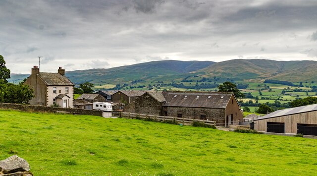
Bleabeck Plantation is a sprawling woodland located in Westmorland, a picturesque county in the northwest region of England. This stunning plantation is known for its dense and diverse forest, offering a serene and tranquil environment for nature lovers and outdoor enthusiasts alike.
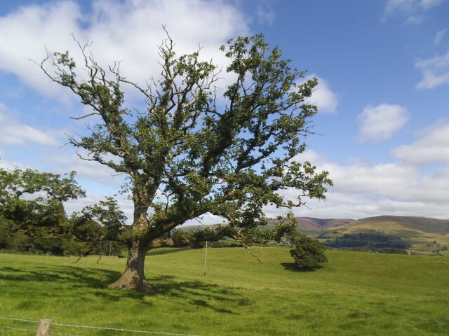
Covering an expansive area of land, Bleabeck Plantation boasts a rich variety of trees, including oak, beech, and ash, which form a magnificent canopy overhead. The plantation is also home to an array of wildlife, such as deer, squirrels, and a multitude of bird species, making it a popular destination for birdwatching and wildlife spotting.
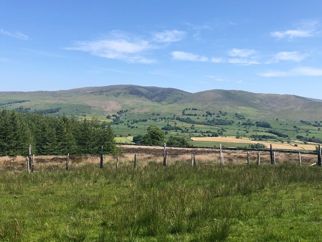
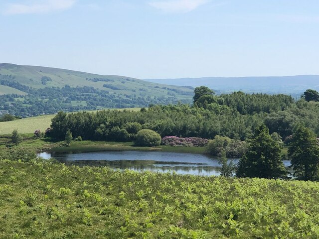
Visitors to Bleabeck Plantation can indulge in a myriad of activities, from leisurely hikes along its well-marked trails to cycling through its winding paths. The plantation provides ample opportunities for nature photography, with its enchanting landscapes and hidden gems waiting to be discovered.
In addition to its natural beauty, Bleabeck Plantation offers a range of amenities to enhance visitors' experience. There are picnic areas scattered throughout the woodland, providing a perfect spot for a family outing or a peaceful lunch surrounded by nature. The plantation also features well-maintained public facilities, ensuring the comfort and convenience of its visitors.
Overall, Bleabeck Plantation in Westmorland is a haven for those seeking solace in nature. With its majestic woodland, abundant wildlife, and recreational opportunities, it is a delightful destination for individuals of all ages to connect with the great outdoors and immerse themselves in the beauty of the English countryside.
If you have any feedback on the listing, please let us know in the comments section below.
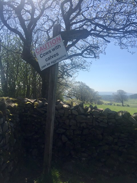
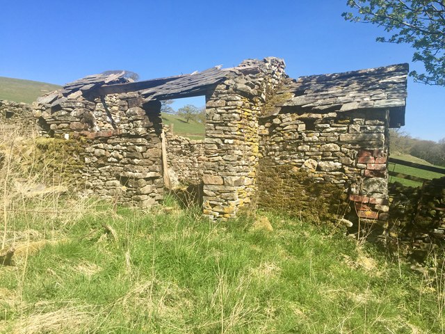
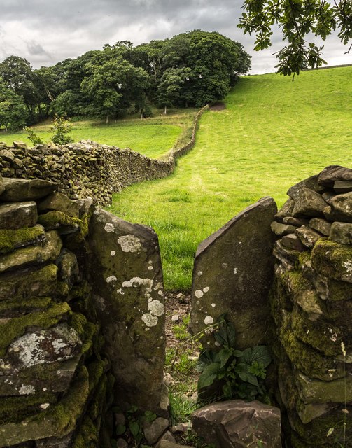
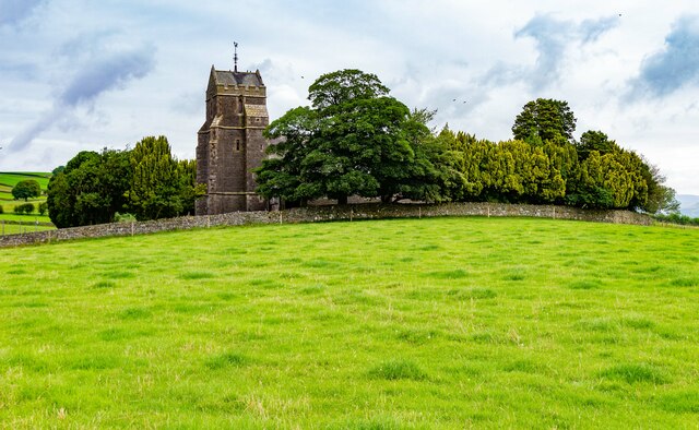
Bleabeck Plantation Images
Images are sourced within 2km of 54.250834/-2.6315692 or Grid Reference SD5884. Thanks to Geograph Open Source API. All images are credited.


Bleabeck Plantation is located at Grid Ref: SD5884 (Lat: 54.250834, Lng: -2.6315692)
Administrative County: Cumbria
District: South Lakeland
Police Authority: Cumbria
What 3 Words
///snapper.undertook.bounded. Near Kirkby Lonsdale, Cumbria
Nearby Locations
Related Wikis

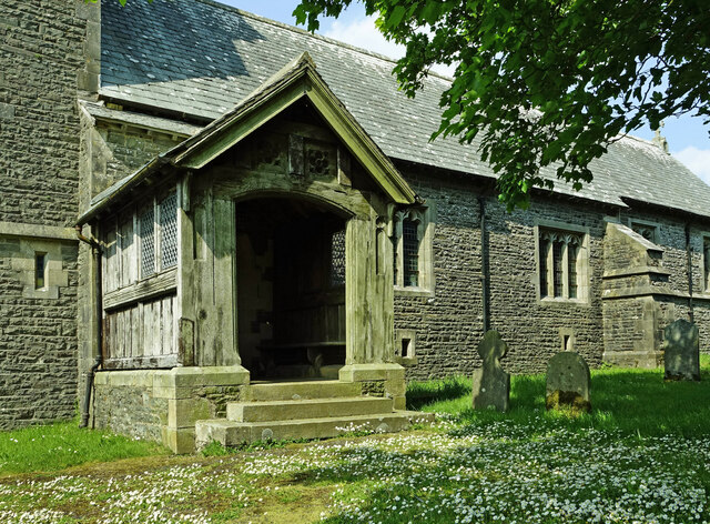
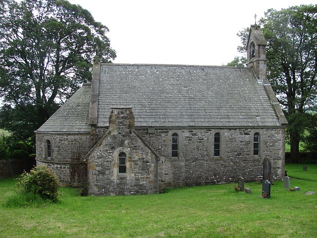
St Peter's Church, Mansergh
St Peter's Church is in the village of Mansergh, Cumbria, England. It is an active Anglican parish church in the deanery of Kendal, the archdeaconry of...
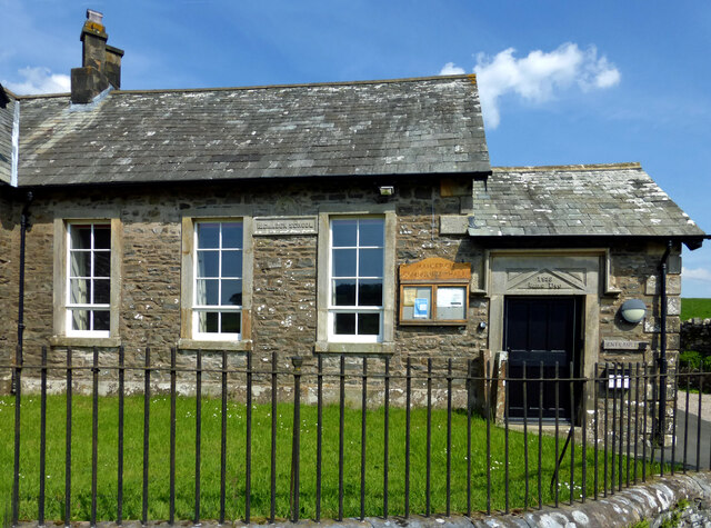
Mansergh, Cumbria
Mansergh is a village and civil parish in the South Lakeland district of the English county of Cumbria. It includes the village of Mansergh and the hamlet...

Barbon Beck
Barbon Beck is a small river in Barbondale, Cumbria. It is a tributary of the River Lune. Rising at Weather Ling Hill, where it is known as Barkin Beck...
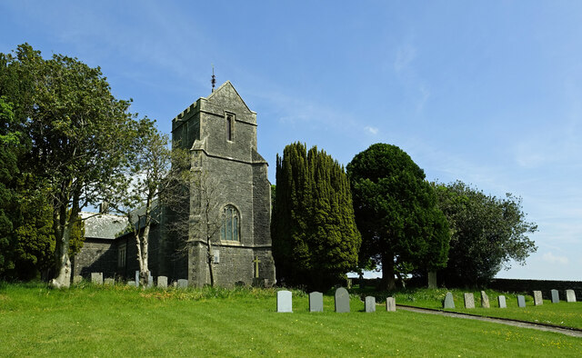
All Saints Church, Lupton
All Saints Church is in the village of Lupton, Cumbria, England. It is an active Anglican parish church in the deanery of Kendal, the archdeaconry of...
Have you been to Bleabeck Plantation?
Leave your review of Bleabeck Plantation below (or comments, questions and feedback).