Clougha Plantation
Wood, Forest in Lancashire Lancaster
England
Clougha Plantation
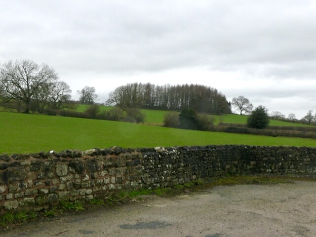
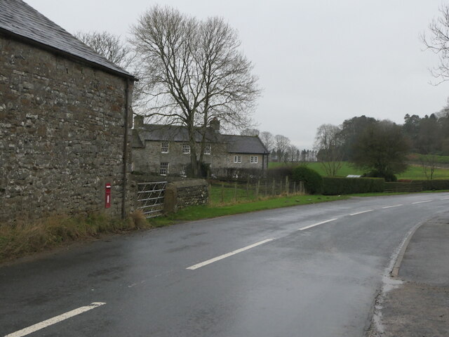
Clougha Plantation is a picturesque woodland area situated in the county of Lancashire, England. Spanning over 600 hectares, it is located within the Forest of Bowland, a designated Area of Outstanding Natural Beauty. The plantation is renowned for its breathtaking landscapes, dense forests, and diverse wildlife, making it a popular destination for nature enthusiasts and outdoor adventurers.
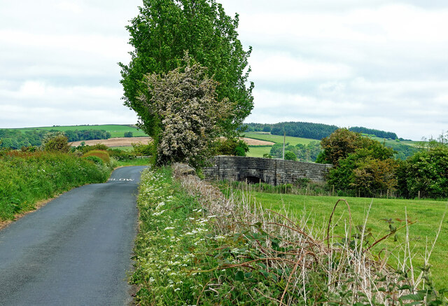
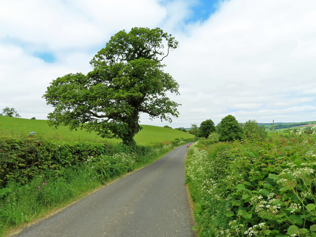
The woodland consists mainly of coniferous trees, including Sitka spruce and Scots pine, which provide a habitat for various bird species such as crossbills and redstarts. The plantation also features a network of well-maintained trails and footpaths, allowing visitors to explore and appreciate the stunning surroundings.
One of the notable attractions within Clougha Plantation is Clougha Pike, a prominent hill that offers panoramic views of the surrounding countryside, including Morecambe Bay and the Lake District. This vantage point is a favorite among hikers and photographers, who are rewarded with breathtaking vistas after a challenging ascent.
The plantation is managed by the Forestry Commission, ensuring the preservation and sustainable use of the woodland. It serves as an important resource for timber production while also providing recreational opportunities for locals and tourists alike. Visitors can enjoy activities such as walking, cycling, and birdwatching, with the plantation offering designated picnic areas and car parks for convenience.
Overall, Clougha Plantation is a natural gem within Lancashire, offering a tranquil escape from urban life, a chance to connect with nature, and an opportunity to appreciate the diverse flora and fauna that thrives within this beautiful woodland.
If you have any feedback on the listing, please let us know in the comments section below.
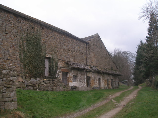
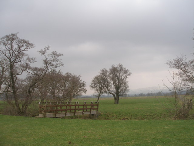
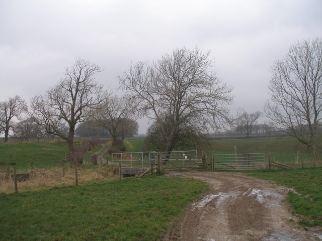
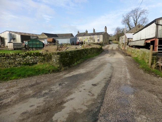
Clougha Plantation Images
Images are sourced within 2km of 54.163675/-2.6310523 or Grid Reference SD5874. Thanks to Geograph Open Source API. All images are credited.


Clougha Plantation is located at Grid Ref: SD5874 (Lat: 54.163675, Lng: -2.6310523)
Administrative County: Lancashire
District: Lancaster
Police Authority: Lancashire
What 3 Words
///slacker.canoe.yachting. Near Kirkby Lonsdale, Cumbria
Nearby Locations
Related Wikis

Newton, Lancaster
Newton is a hamlet in the civil parish of Whittington, Lancashire, England. It is in the City of Lancaster district, south of Whittington on the B 6254...
Docker, Lancashire
Docker is a hamlet in the civil parish of Whittington, Lancashire, England. It is in the City of Lancaster district, north of Arkholme and south west of...

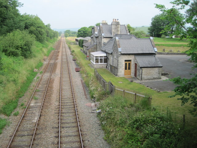
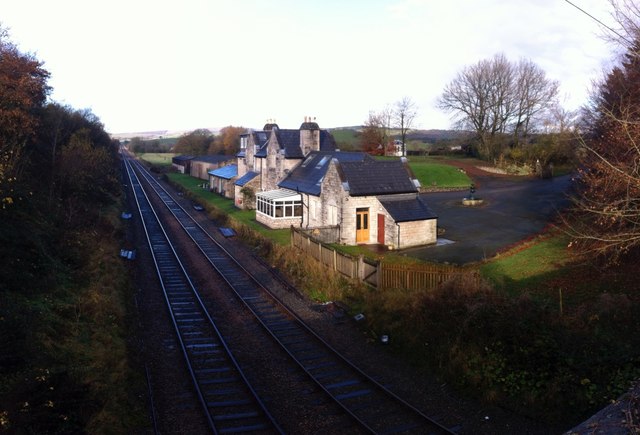
Arkholme for Kirkby Lonsdale railway station
Arkholme for Kirkby Lonsdale railway station served the village of Arkholme in Lancashire, England. It is situated on what is now the Leeds–Morecambe line...
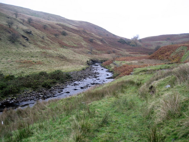
Leck Beck
Leck Beck is a watercourse in Lancashire with its source on Crag Hill in Cumbria between Leck Fell and Casterton Fell. For several kilometres near the...
Nearby Amenities
Located within 500m of 54.163675,-2.6310523Have you been to Clougha Plantation?
Leave your review of Clougha Plantation below (or comments, questions and feedback).