Black Fir Plantation

Wood, Forest in Lancashire Chorley

England

Black Fir Plantation

Yew Tree House Farm
Yew Tree House Farm Credit: Peter McDermott

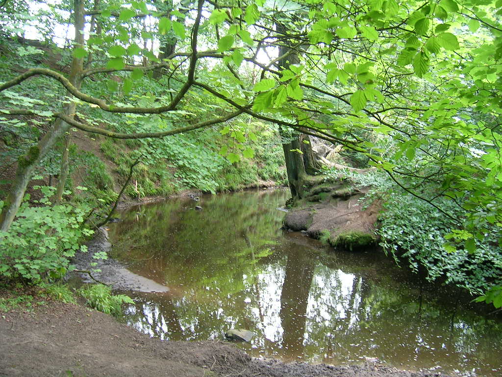
Black Fir Plantation is a dense woodland area located in Lancashire, England. Spanning over a considerable area, this forest is known for its abundant growth of black firs (Abies concolor), which have given the plantation its name. The forest is situated within the larger expanse of the Lancashire countryside, offering a tranquil and picturesque environment for nature enthusiasts and hikers alike.

The plantation is characterized by its tall, majestic black fir trees, which dominate the landscape. These evergreen conifers are native to western North America and were introduced to the UK in the late 19th century. With their distinct silver-blue foliage, the black firs stand out amidst the lush greenery of the forest.

Black Fir Plantation boasts a diverse range of flora and fauna, making it a haven for wildlife. The woodland floor is covered with a carpet of ferns, mosses, and wildflowers, providing a rich habitat for small mammals, birds, and insects. Visitors to the plantation may catch a glimpse of red squirrels, badgers, and various species of birds, including woodpeckers and owls.

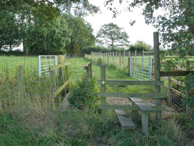
The forest is crisscrossed with well-maintained trails, allowing visitors to explore its beauty and serenity. Hikers can enjoy leisurely strolls or more challenging treks, taking in the sights and sounds of nature. There are also designated picnic areas and viewpoints where visitors can pause and appreciate the stunning vistas.

Black Fir Plantation in Lancashire offers a captivating experience for nature lovers, providing a serene escape from the hustle and bustle of everyday life. Whether one is seeking solitude or adventure, this woodland retreat offers an idyllic setting for all.

If you have any feedback on the listing, please let us know in the comments section below.

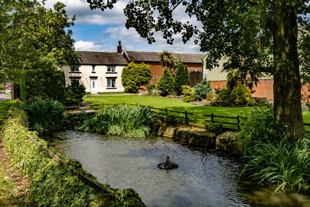
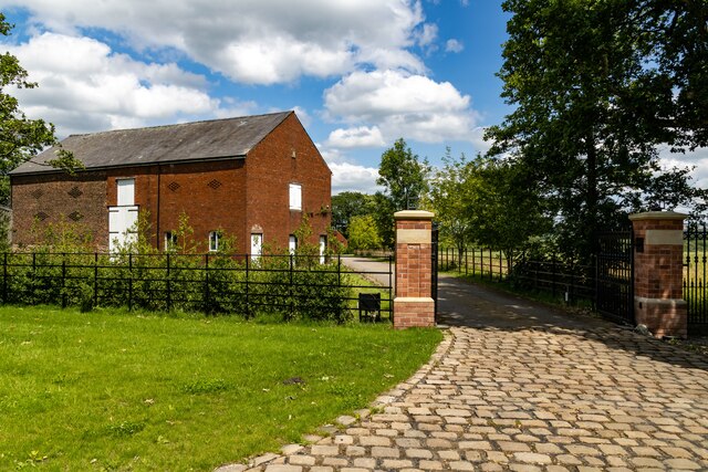
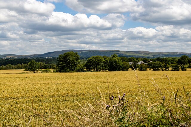
Black Fir Plantation Images

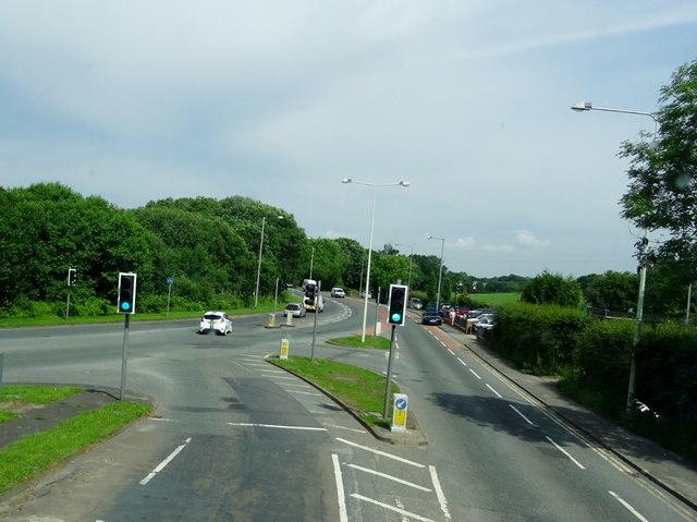
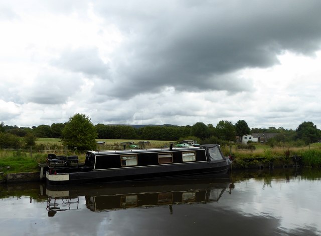
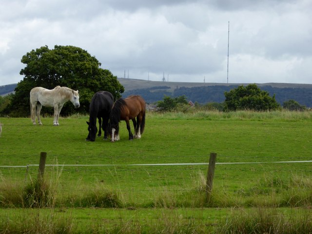
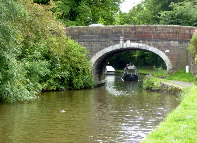
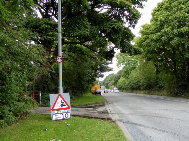
Images are sourced within 2km of 53.627643/-2.6255643 or Grid Reference SD5814. Thanks to Geograph Open Source API. All images are credited.

Yew Tree House Farm
Yew Tree House Farm
Coppull Hall Lane
Coppull Hall Lane
Coppull Hall Barn at entrance to Coppull Hall.
Coppull Hall
Barn at entrance to Coppull Hall.
Wheatsheaf Hotel The Wheatsheaf Hotel public house.
Wheatsheaf Hotel
The Wheatsheaf Hotel public house.
Village Hall New house on the site of the old Village Hall.
Village Hall
New house on the site of the old Village Hall.
Coppull Brow Farm
Coppull Brow Farm
Stile at turn in footpath between Chapel Lane and Green Lane
Junction of Coppull Hall Lane and Green Lane
A673 meets the A6 at Skew Bridge
The Yarrow Bridge Public House outside Chorley standing by the River Yarrow.
The Yarrow Bridge
Public House outside Chorley standing by the River Yarrow.
Myles Standish Way outside Chorley At its junction with the A6.
Myles Standish Way outside Chorley
At its junction with the A6.
Canal and cloud Foreboding cloud over the Leeds and Liverpool Canal near Adlington.
Canal and cloud
Foreboding cloud over the Leeds and Liverpool Canal near Adlington.
Horses in a field Next to the Leeds and Liverpool Canal near Adlington. In the background, the radio and T. V. masts on Winter Hill near Bolton.
Horses in a field
Next to the Leeds and Liverpool Canal near Adlington. In the background, the radio and T. V. masts on Winter Hill near Bolton.
Rawlinson Bridge Carrying Rawlinson Lane over the Leeds and Liverpool Canal near Adlington.
Rawlinson Bridge
Carrying Rawlinson Lane over the Leeds and Liverpool Canal near Adlington.
The A6 near Heath Charnock
Canal under a glowering sky The Leeds and Liverpool Canal near Eller Brook.
Canal under a glowering sky
The Leeds and Liverpool Canal near Eller Brook.
Leeds and Liverpool Canal From Rigshaw Bridge near White Bear Marina, Adlington.
Leeds and Liverpool Canal
From Rigshaw Bridge near White Bear Marina, Adlington.
Fuel Filling Station - Moor Road
Show me another place!

Black Fir Plantation is located at Grid Ref: SD5814 (Lat: 53.627643, Lng: -2.6255643)

Administrative County: Lancashire

District: Chorley

Police Authority: Lancashire

What 3 Words

///maple.beats.tune. Near Coppull, Lancashire

Related Wikis

Duxbury Hall

Duxbury Hall was a 19th-century country house in Duxbury Park estate in Duxbury Woods, Duxbury, Lancashire that has been demolished. The hall was a plain...

Duxbury Woods

Duxbury Woods is an area of woodland and parkland situated in Chorley, Lancashire, at the foot of the West Pennine Moors. The area originally existed as...

Yarrow Valley Country Park

Yarrow Valley Country Park is a country park managed by Chorley Borough Council in Lancashire, England. It follows the River Yarrow for about 6 miles...

Heath Charnock

Heath Charnock is a small village and civil parish of the Borough of Chorley in Lancashire, England. According to the United Kingdom Census 2001 it has...

Nearby Amenities

Located within 500m of 53.627643,-2.6255643
Parking
Lat/Long: 53.631748/-2.6259151
Gilling Dodd
Addr City: Chorley
Addr Housename: The Cruck Barn
Addr Place: Duxbury
Addr Postcode: PR7 4AT
Addr Street: Duxbury Hall Road
Office: architect
Lat/Long: 53.6310635/-2.6258008
Glendale Head Office
Addr City: Chorley
Addr Housename: Duxbury Park Coach House
Addr Place: Duxbury
Addr Postcode: PR7 4AT
Addr Street: Duxbury Hall Road
Office: company
Lat/Long: 53.6312909/-2.6251638
Restaurant
Nineteen
Addr City: Chorley
Addr Place: Duxbury
Addr Postcode: PR7 4AT
Addr Street: Duxbury Hall Road
Fhrs Id: 377056
Outdoor Seating: yes
Wheelchair: yes
Lat/Long: 53.6309617/-2.6248366
Barrier: yes
Lat/Long: 53.6242931/-2.6226458
Direction: SW
Generator Method: photovoltaic
Generator Output Electricity: yes
Generator Solar Modules: 4
Generator Source: solar
Generator Type: solar_photovoltaic_panel
Location: roof
Power: generator
Lat/Long: 53.6253643/-2.6215938
Direction: SSE
Generator Method: photovoltaic
Generator Output Electricity: yes
Generator Solar Modules: 9
Generator Source: solar
Generator Type: solar_photovoltaic_panel
Location: roof
Power: generator
Lat/Long: 53.6253774/-2.6217017
John Stone
Historic: boundary_stone
Image: https://chorleyarealocalhistory.weebly.com/uploads/3/8/2/6/38267889/published/20210409-144816-01.jpg?1619265609
Lat/Long: 53.6271516/-2.6315619
The data included in this document is from www.openstreetmap.org. The data is made available under ODbL.

Have you been to Black Fir Plantation?

Leave your review of Black Fir Plantation below (or comments, questions and feedback).