Lorraine's Wood
Wood, Forest in Shropshire
England
Lorraine's Wood

Lorraine's Wood is a picturesque forest located in the heart of Shropshire, England. Covering an area of approximately 50 acres, it is a haven for nature enthusiasts and outdoor lovers. The wood is named after Lorraine, a local resident who dedicated her life to preserving the natural beauty of the area.
The wood is primarily composed of deciduous trees, such as oak, beech, and birch, which create a stunning canopy that provides shade during the summer months. The forest floor is adorned with a variety of wildflowers, adding bursts of color to the landscape.
Visitors to Lorraine's Wood can enjoy a network of well-maintained walking trails that wind through the forest, allowing them to explore its hidden gems. Along the way, they may encounter native wildlife, including deer, squirrels, and a plethora of bird species.
The forest also boasts a small pond, which serves as a watering hole for animals and a tranquil spot for visitors to relax and enjoy the peaceful surroundings. It is not uncommon to see ducks and other waterfowl paddling along its surface.
Lorraine's Wood is a popular destination for families, who can take advantage of the picnic areas and playgrounds scattered throughout the forest. Additionally, there are educational programs and guided tours available to learn more about the flora and fauna found within the wood.
With its natural beauty and diverse ecosystem, Lorraine's Wood offers a serene escape from the hustle and bustle of everyday life, making it a must-visit destination for nature enthusiasts and those seeking solace in the great outdoors.
If you have any feedback on the listing, please let us know in the comments section below.
Lorraine's Wood Images
Images are sourced within 2km of 52.336936/-2.6084624 or Grid Reference SO5871. Thanks to Geograph Open Source API. All images are credited.


Lorraine's Wood is located at Grid Ref: SO5871 (Lat: 52.336936, Lng: -2.6084624)
Unitary Authority: Shropshire
Police Authority: West Mercia
What 3 Words
///column.peach.select. Near Tenbury Wells, Worcestershire
Nearby Locations
Related Wikis

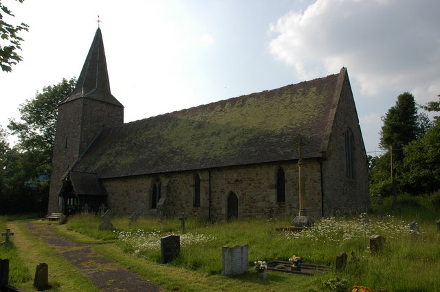
Greete
Greete is a hamlet and civil parish in Shropshire, England. It is situated between the villages of Caynham and Burford, about 5.2 miles (8.4 km) southeast...
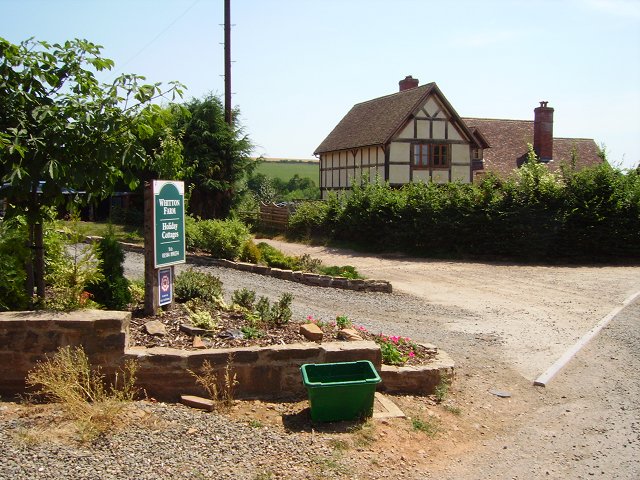
Whitton, Shropshire
Whitton is a hamlet and civil parish in Shropshire, England. It is situated east of Caynham and the market town of Ludlow is 5.2 miles (8.4 km) away. There...
Nash, south Shropshire
Nash is a small village and civil parish located in Shropshire, England, situated south east of Ludlow and north of Tenbury Wells. The parish had a population...

Tenbury Wells railway station
Tenbury Wells railway station was a station in Burford, Shropshire, England. Serving the town of Tenbury Wells across the River Teme in Worcestershire...

Burford Rural District
Burford was a Rural district in Shropshire in England from 1894 to 1934. It was formed under the Local Government Act 1894 that part of the Tenbury rural...
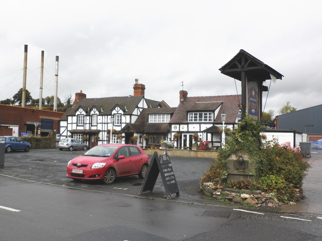
Burford, Shropshire
Burford is a village and civil parish in Shropshire, England. According to the 2001 census the parish had a population of 1,108, rising to 1,392 at the...

Tenbury Community Hospital
Tenbury Community Hospital is a health facility in Worcester Road, Burford, Tenbury Wells, Worcestershire, England. It is managed by Worcestershire Health...
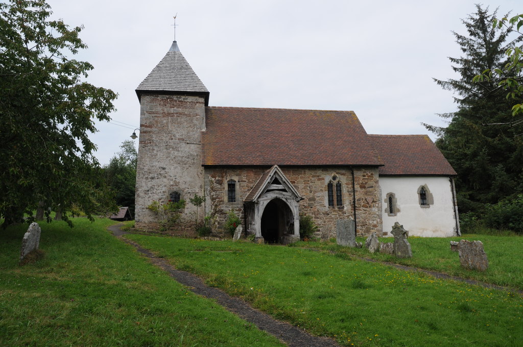
Hope Bagot
Hope Bagot is a hamlet and civil parish in Shropshire, England. It is situated south of Cleehill and the parish is hilly in nature. The market town of...
Nearby Amenities
Located within 500m of 52.336936,-2.6084624Have you been to Lorraine's Wood?
Leave your review of Lorraine's Wood below (or comments, questions and feedback).