Compton Wood
Wood, Forest in Somerset Mendip
England
Compton Wood
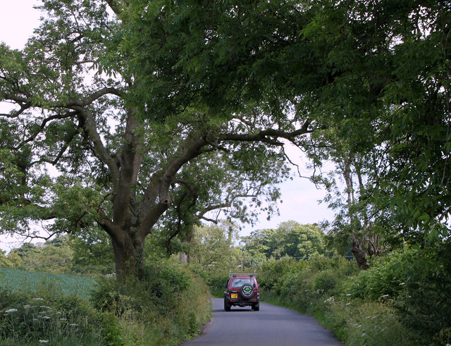
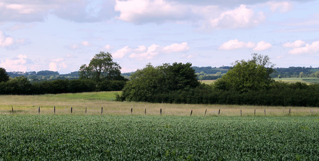
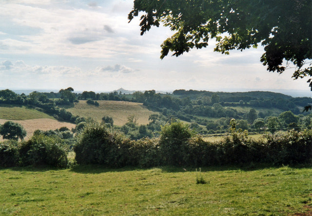
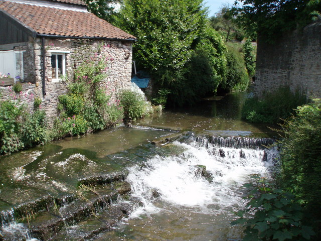
Compton Wood is a picturesque woodland located in the county of Somerset, England. Spanning over an area of approximately 100 acres, this enchanting forest is a haven of natural beauty and tranquility. Situated in the Mendip Hills, Compton Wood is surrounded by rolling hills, lush meadows, and small streams, creating a truly idyllic setting.
The woodland is predominantly composed of native deciduous trees, such as oak, beech, and ash, which form a dense canopy overhead. This rich variety of tree species provides a habitat for a diverse range of wildlife, including birds, mammals, and insects. Nature enthusiasts can spot elusive creatures like deer, foxes, badgers, and numerous bird species while exploring the woodland.
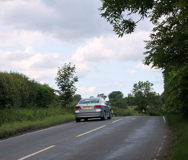
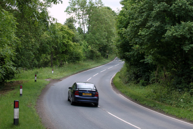
Compton Wood offers a network of well-maintained footpaths and trails, allowing visitors to explore the area at their own pace. These paths wind through the forest, offering breathtaking views of the surrounding countryside and opportunities for peaceful walks. The woodland is also a popular spot for birdwatching, photography, and picnics.
Managed by a local conservation organization, Compton Wood is dedicated to preserving its natural beauty and protecting the wildlife that calls it home. The organization regularly carries out conservation projects, maintaining the woodland's fragile ecosystem and ensuring its long-term sustainability.
Whether you are seeking a peaceful retreat, a chance to connect with nature, or simply a break from the hustle and bustle of everyday life, Compton Wood is a destination that promises to captivate and rejuvenate visitors with its timeless charm and natural wonders.
If you have any feedback on the listing, please let us know in the comments section below.
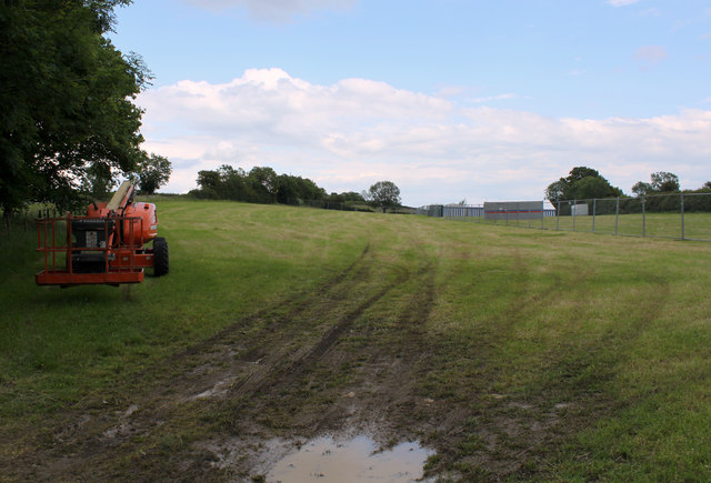
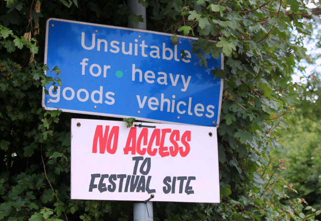
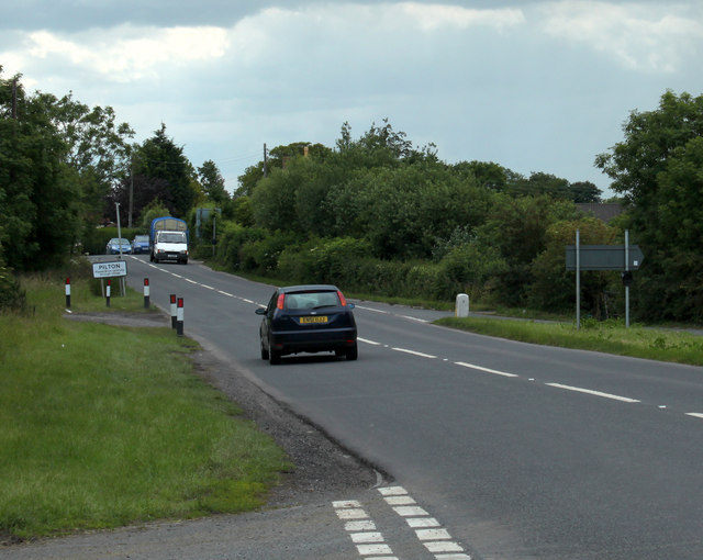
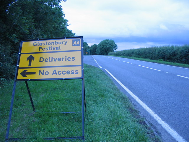
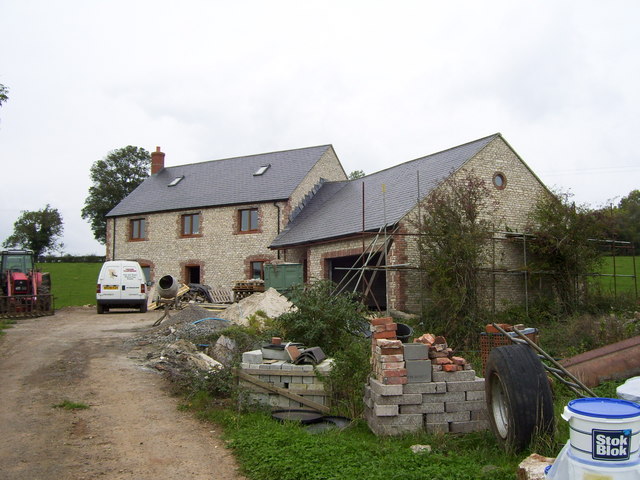
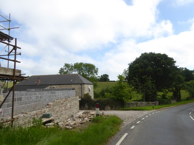
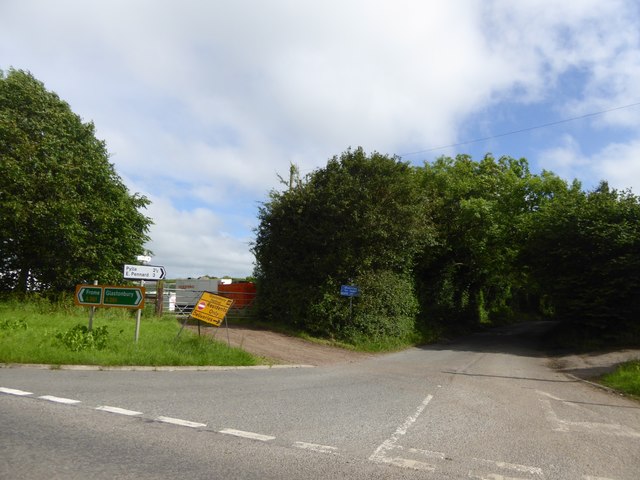
Compton Wood Images
Images are sourced within 2km of 51.17956/-2.5933675 or Grid Reference ST5842. Thanks to Geograph Open Source API. All images are credited.


Compton Wood is located at Grid Ref: ST5842 (Lat: 51.17956, Lng: -2.5933675)
Administrative County: Somerset
District: Mendip
Police Authority: Avon and Somerset
What 3 Words
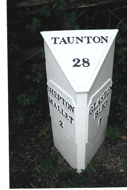
///atlas.snippets.bubble. Near Shepton Mallet, Somerset
Nearby Locations
Related Wikis

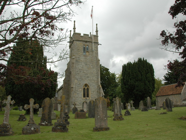
Friar's Oven
Friar's Oven (grid reference ST592431) is a 4.0 hectare biological Site of Special Scientific Interest in Somerset, notified in 1989. == Sources == English...
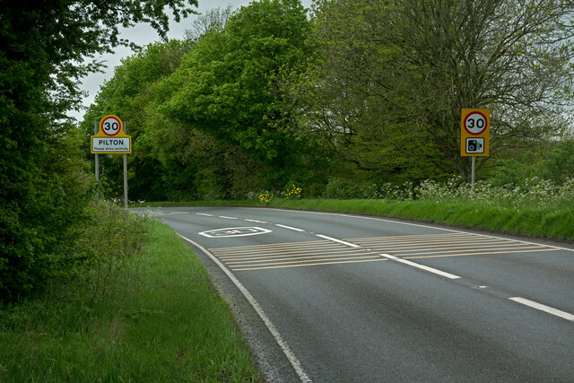
Pilton, Somerset
Pilton is a village and civil parish in Somerset, England, situated on the A361 road in the Mendip district, 3 miles (5 km) south-west of Shepton Mallet...
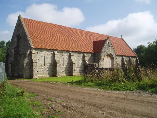
Tithe Barn, Pilton
The Tithe Barn at Cumhill Farm in Pilton, Somerset, England, was built in the 14th century as a tithe barn to hold produce for Glastonbury Abbey. It is...
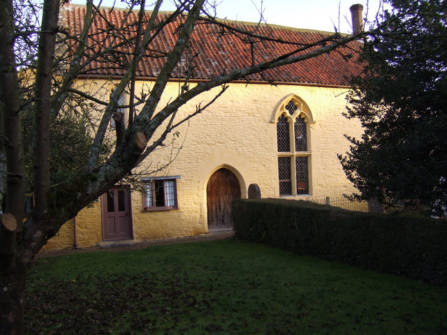
The Old Rectory, Croscombe
The Old Rectory in the village of Croscombe within the English county of Somerset was built in the 17th century and rebuilt in the 18th. It is a Grade...
The Old Manor, Croscombe
The Old Manor in Croscombe, Somerset, England, was built around 1460–89 as a rectorial manor house for Hugh Sugar, the Treasurer of Wells Cathedral. It...
North Wootton, Somerset
North Wootton is a village and civil parish, on the River Redlake, 2.5 miles (4.0 km) south east of Wells, and 3.5 miles (5.6 km) south west of Shepton...
Croscombe
Croscombe is a village and civil parish 2 miles (3 km) west of Shepton Mallet and 4 miles (6 km) from Wells, in the Mendip district of Somerset, England...

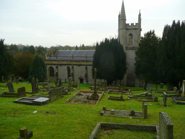
Church of St Peter, North Wootton
The Anglican Church of St Peter in North Wootton, Somerset, England was built in the 14th or 15th century. It is a Grade II* listed building. == History... ==
Related Videos

Glastonbury Festival 2019 Vlog: Thursday Day 2 Walking Around
GlastonburyFestival #GlastoFest2019 #Glastonbury2019 Connect with me on Social Media: http://www.TheGoddessStyle.com ...

Glastonbury Festival 2023 | HD Glastonbury Walking Tour | Worthy Farm | Sites & Sounds of Glasto
Glastonbury Festival was hot, long and incredible. Enjoy this short glastonbury tour to show you the festival grounds of 2023, ...


Glastonbury Festival 2019 | Our Exploration | VLOG
READ ME* Glastonbury Festival was hot, long and incredible. In this video we explore Worthy Farm and see much more than just ...
Have you been to Compton Wood?
Leave your review of Compton Wood below (or comments, questions and feedback).