Brooks Head Grove
Wood, Forest in Gloucestershire Forest of Dean
England
Brooks Head Grove

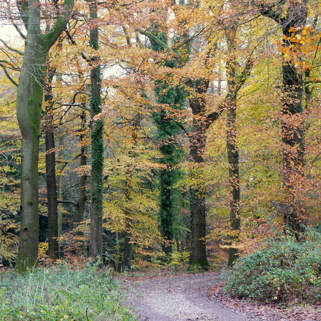
Brooks Head Grove, located in Gloucestershire, England, is a picturesque wood and forest area that spans over several acres. Nestled in the heart of the stunning Cotswolds region, this grove offers a tranquil and scenic escape from the bustling city life.
The grove is primarily composed of a variety of tall, majestic trees, including oak, beech, and ash, which create a dense canopy overhead. This lush greenery provides a haven for a diverse range of wildlife, making it an ideal destination for nature lovers and enthusiasts.
Tranquil streams and small brooks meander through the grove, adding to its natural charm and providing a serene soundtrack for visitors who choose to explore the area on foot. The forest floor is covered in a thick carpet of moss, ferns, and wildflowers, creating an enchanting atmosphere as sunlight filters through the tree branches.
Brooks Head Grove is also home to a network of walking trails, allowing visitors to immerse themselves in the natural beauty of the surroundings. These trails offer varying lengths and difficulty levels, catering to both casual strollers and avid hikers. Along the way, hikers may encounter an array of wildlife, including squirrels, rabbits, and an assortment of bird species.
The grove is open to the public year-round, and visitors can enjoy picnicking, photography, or simply finding solace in the peaceful ambiance. The stunning beauty and tranquility of Brooks Head Grove make it a hidden gem in Gloucestershire, attracting both locals and tourists alike.
If you have any feedback on the listing, please let us know in the comments section below.
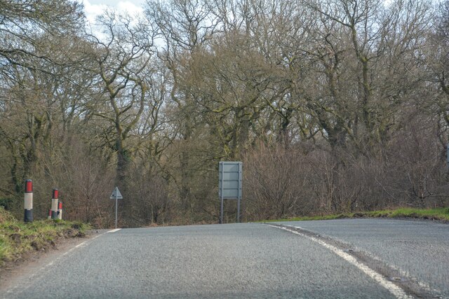
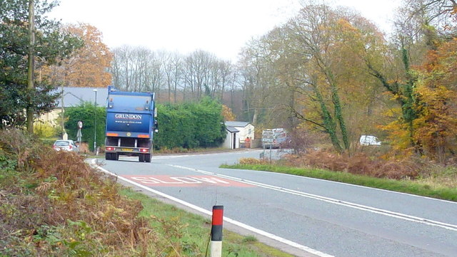
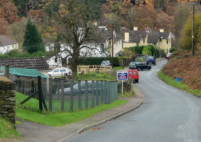
Brooks Head Grove Images
Images are sourced within 2km of 51.825694/-2.6021563 or Grid Reference SO5814. Thanks to Geograph Open Source API. All images are credited.


Brooks Head Grove is located at Grid Ref: SO5814 (Lat: 51.825694, Lng: -2.6021563)
Administrative County: Gloucestershire
District: Forest of Dean
Police Authority: Gloucestershire
What 3 Words
///envy.booms.panthers. Near Lydbrook, Gloucestershire
Nearby Locations
Related Wikis

Brooks Head Grove
Brooks Head Grove (grid reference SO586145) is an 11.9-hectare (29-acre) biological Site of Special Scientific Interest in Gloucestershire, notified in...
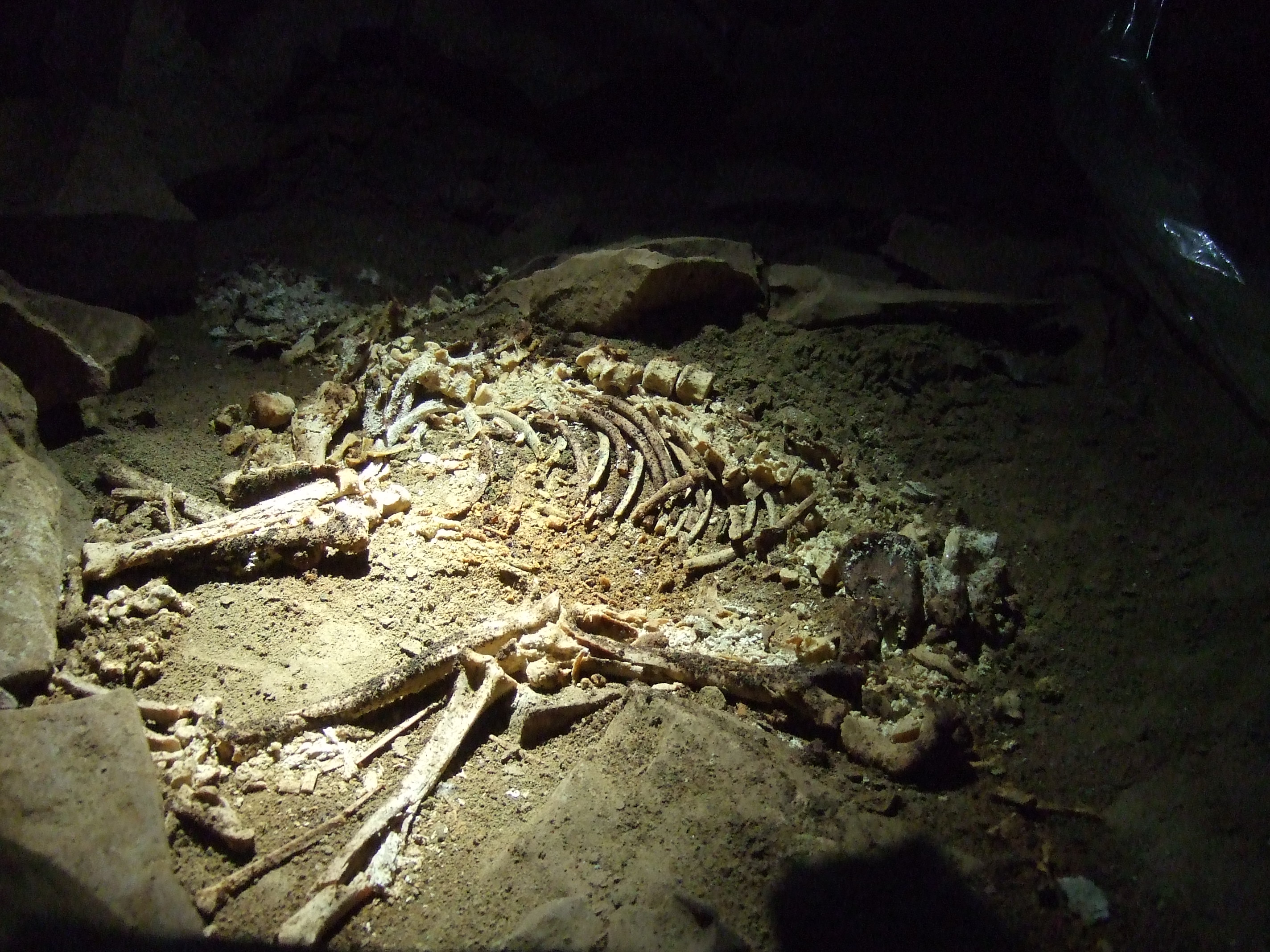
Slaughter Stream Cave
Slaughter Stream Cave, also known as Wet Sink, is a cave system in the Wye Valley, Forest of Dean. A series of fixed ladders and two pitches lead to sporting...

Eastbach Court
Eastbach Court is a historic Grade II listed mansion in English Bicknor, Gloucestershire, England. == History == The house was built on a former messuage...

Edge End, Gloucestershire
Edge End is a small hamlet in west Gloucestershire, England. == Location and amenities == Edge End is about 1.5 miles NW of Coleford and about 1 mile north...
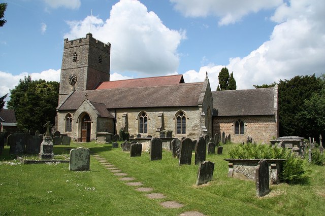
English Bicknor
English Bicknor is a village and civil parish in the Forest of Dean district of west Gloucestershire, England. The 2011 Census recorded the population...

English Bicknor Castle
English Bicknor Castle was a castle in the village of English Bicknor in Gloucestershire, England. The castle was built in the 11th century as a motte...

Royal Forest of Dean College
Royal Forest of Dean College was a college of further education located close to the town of Coleford, in the Forest of Dean in west Gloucestershire. It...
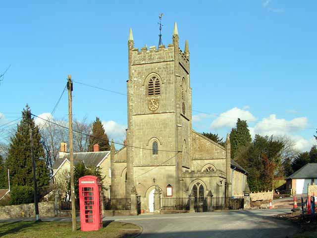
Berry Hill, Gloucestershire
Berry Hill is a village in Gloucestershire, England, 1.5 miles north of the town of Coleford. Berry Hill includes the settlements of Five Acres to the...
Related Videos

Walking in the Wye Valley - Symonds Yat, Biblins bridge and King Arthur's Cave
A beautiful autumn day for a walk in the Wye Valley. Starting at Symonds Yat Rock car park it's not long before fantastic views ...
Forest Holiday Vlog Forest of Dean
A Forest Holiday vlog in the forest of dean. With everything that has happened with lockdown and travel bans etc, I decided to ...

Forest Holidays - Forest of Dean - Dec 2020 - Travel and Day 1
Welcome to out first vlog. We were meant to be going to Disneyland Paris, however this was cancelled due to COVID-19 so we ...
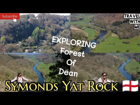
SYMONDS YAT ROCK || SPECTACULAR VIEW || ENGLAND TRAVEL VLOG #forestofdean #wyevalley 🏴
The Symonds Yat Rock offers iconic views of the Wye Valley, with the surrounding areas being home to a variety of wild life.
Nearby Amenities
Located within 500m of 51.825694,-2.6021563Have you been to Brooks Head Grove?
Leave your review of Brooks Head Grove below (or comments, questions and feedback).