Broadslack Plantation
Wood, Forest in Westmorland Eden
England
Broadslack Plantation

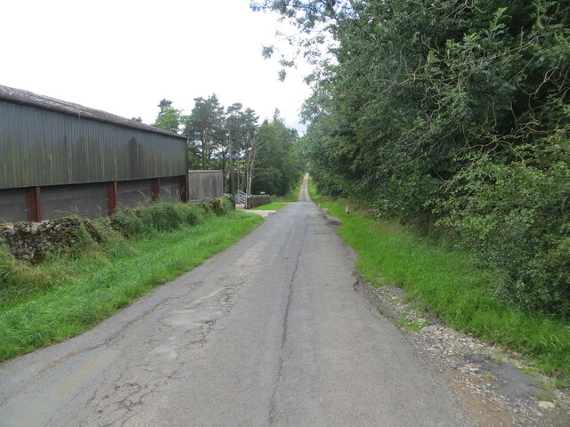
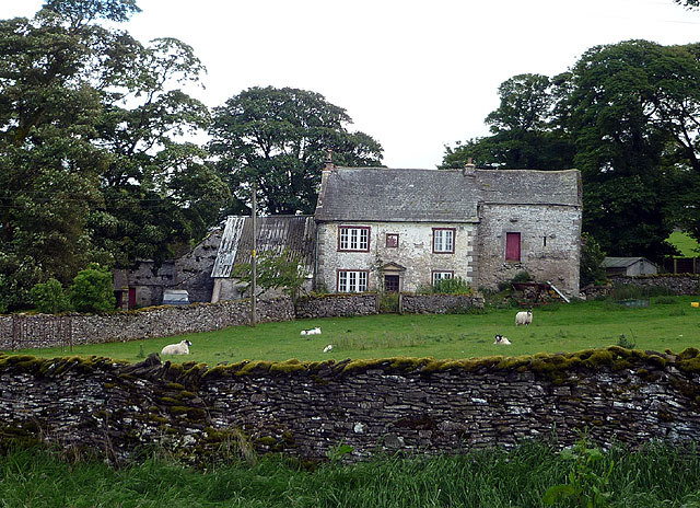
Broadslack Plantation is a picturesque forest located in the county of Westmorland, within the region of Cumbria, England. Situated near the village of Wood, this plantation covers an area of approximately 100 acres and is renowned for its stunning natural beauty and diverse range of flora and fauna.
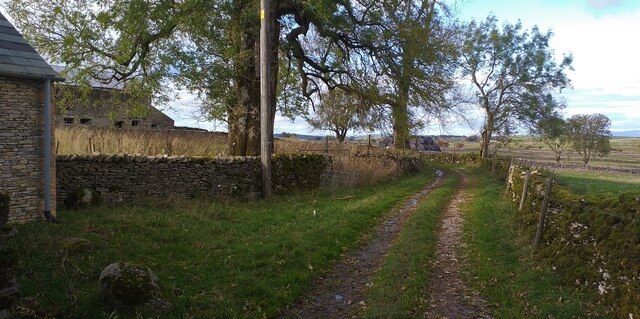
The plantation features a variety of tree species, including oak, beech, and birch, which create a dense canopy overhead and provide a habitat for a wide range of wildlife. It is home to numerous bird species, such as woodpeckers, owls, and various songbirds, making it a popular spot for birdwatching enthusiasts.
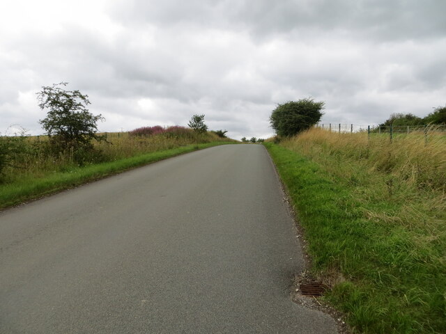
In addition to its rich biodiversity, Broadslack Plantation offers several recreational opportunities for visitors. There are well-maintained walking trails that meander through the forest, allowing visitors to explore its tranquil surroundings while enjoying the fresh air and peaceful ambiance. These trails are suitable for both leisurely strolls and more challenging hikes.
The plantation is also a favorite destination for nature lovers, photographers, and artists, who find inspiration in its enchanting landscapes and vibrant colors, particularly during the autumn season when the foliage transforms into a kaleidoscope of reds, oranges, and yellows.
Broadslack Plantation is easily accessible, with ample parking facilities available nearby. It provides a perfect escape from the hustle and bustle of city life, offering visitors a chance to immerse themselves in the beauty of nature and enjoy a peaceful retreat in the heart of Westmorland.
If you have any feedback on the listing, please let us know in the comments section below.
Broadslack Plantation Images
Images are sourced within 2km of 54.54291/-2.6416999 or Grid Reference NY5816. Thanks to Geograph Open Source API. All images are credited.


Broadslack Plantation is located at Grid Ref: NY5816 (Lat: 54.54291, Lng: -2.6416999)
Administrative County: Cumbria
District: Eden
Police Authority: Cumbria
What 3 Words
///cosmic.tilts.headache. Near Shap, Cumbria
Nearby Locations
Related Wikis

Reagill
Reagill is a hamlet in the parish of Crosby Ravensworth, in the Eden district, in the English county of Cumbria, England. Its closest major settlements...
Hardendale
Hardendale is a hamlet in the parish of Shap Rural in the Eden District, in the county of Cumbria, England, near Shap and junction 39 of the M6 motorway...
Shap
Shap is a village and civil parish located among fells and isolated dales in Westmorland and Furness, Cumbria, England. The village is in the historic...

Sleagill
Sleagill is a small village and civil parish in the Eden district of Cumbria, England. At the 2011 census Sleagill was grouped with Newby giving a total...

Shap railway station
Shap railway station served the village of Shap, Westmorland (now in Cumbria), England for over 120 years. == Operations == The station was situated on...

Oddendale
Oddendale is a hamlet in Cumbria, England, near the large village of Shap. For transport there is the M6 motorway and the A6 road. == History == ��3�...

Little Strickland
Little Strickland is a small village and civil parish in the Eden district of Cumbria, England. It is about 7 miles (11 km) from Penrith and 8 miles...

Shap Stone Avenue
The Shap Stone Avenue (an unofficial name) is a megalithic complex near Shap in Cumbria, England, comprising stone circles, a two-mile avenue (actually...
Nearby Amenities
Located within 500m of 54.54291,-2.6416999Have you been to Broadslack Plantation?
Leave your review of Broadslack Plantation below (or comments, questions and feedback).