Dinder Wood
Wood, Forest in Somerset Mendip
England
Dinder Wood
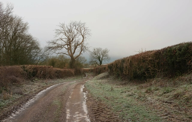
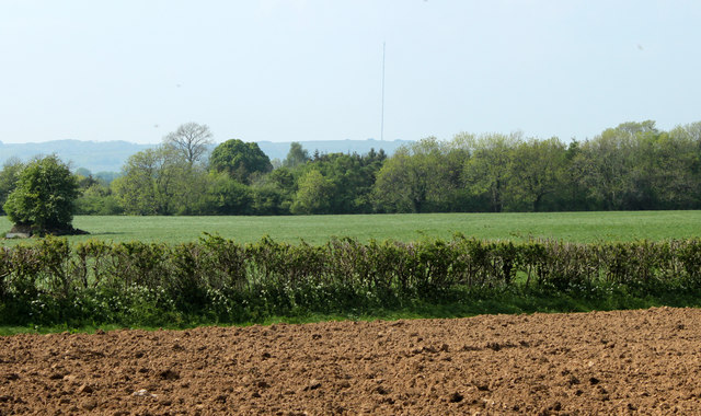
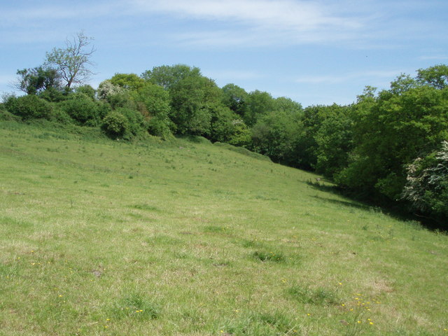
Dinder Wood is a picturesque woodland area located in Somerset, England. Situated near the village of Dinder, this ancient woodland covers an area of approximately 17 hectares. The wood is a designated Site of Special Scientific Interest (SSSI) due to its diverse flora and fauna.
Dinder Wood is predominantly composed of deciduous trees, such as oak, ash, beech, and birch, which create a dense canopy that provides shade during the summer months. The woodland floor is covered in a variety of wildflowers, including bluebells, wood anemones, and primroses, which create a colorful display in the springtime.
The wood is crisscrossed by a network of footpaths and trails, making it a popular spot for walkers, joggers, and nature enthusiasts. These paths wind through the woodland, allowing visitors to explore its natural beauty and discover its hidden treasures.
The diverse range of wildlife found in Dinder Wood includes several species of birds, such as woodpeckers, thrushes, and tawny owls. Small mammals, such as squirrels, rabbits, and hedgehogs, also call this woodland home.
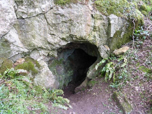
Dinder Wood is not only valued for its natural beauty but also for its historical significance. The wood has remnants of an ancient woodland, dating back hundreds of years. It is believed that the wood has been in existence since at least the 1600s, and possibly even earlier.
Overall, Dinder Wood is a tranquil and enchanting woodland that offers visitors a chance to immerse themselves in nature and enjoy the beauty of the Somerset countryside.
If you have any feedback on the listing, please let us know in the comments section below.
Dinder Wood Images
Images are sourced within 2km of 51.204291/-2.5963906 or Grid Reference ST5845. Thanks to Geograph Open Source API. All images are credited.


Dinder Wood is located at Grid Ref: ST5845 (Lat: 51.204291, Lng: -2.5963906)
Administrative County: Somerset
District: Mendip
Police Authority: Avon and Somerset
What 3 Words
///prepares.desktops.reader. Near Wells, Somerset
Nearby Locations
Related Wikis
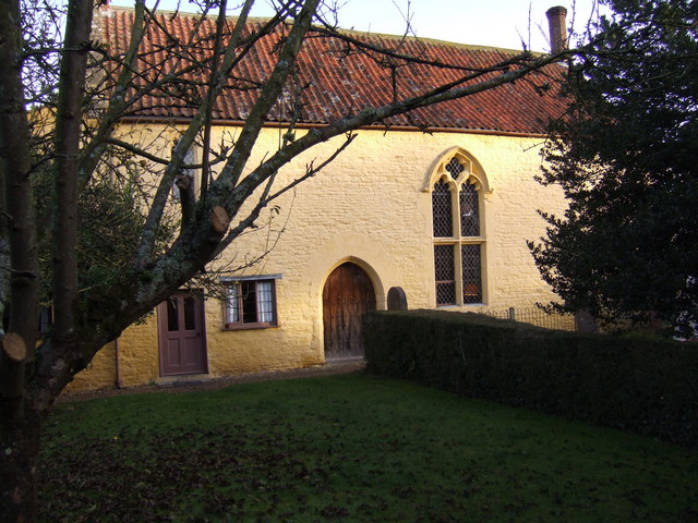
Dinder
Dinder (which means "the house in the valley") is a small village and former civil parish, now in the parish of St Cuthbert Out, in the Somerset district...

Dinder House
Dinder House, is a Somerset estate with a small country house Grade II Regency listed building in the village of Dinder, in the civil parish of St Cuthbert...
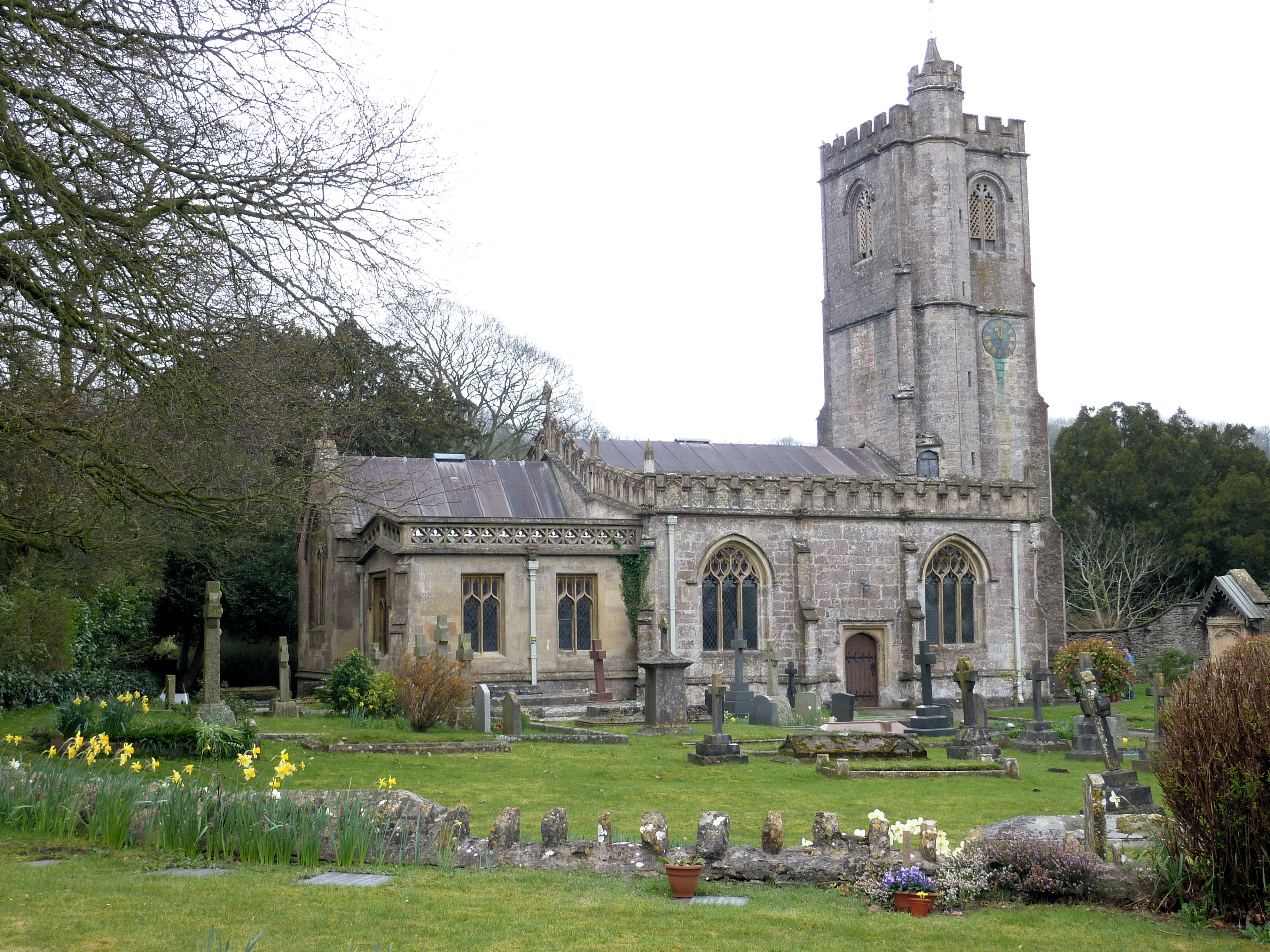
Church of St Michael, Dinder
The Anglican Church of St Michael in Dinder, Somerset, England has Norman origins and was built in the 14th century before being rebuilt in the 15th. It...

The Old Rectory, Croscombe
The Old Rectory in the village of Croscombe within the English county of Somerset was built in the 17th century and rebuilt in the 18th. It is a Grade...
The Old Manor, Croscombe
The Old Manor in Croscombe, Somerset, England, was built around 1460–89 as a rectorial manor house for Hugh Sugar, the Treasurer of Wells Cathedral. It...
Croscombe
Croscombe is a village and civil parish 2 miles (3 km) west of Shepton Mallet and 4 miles (6 km) from Wells, in the Mendip district of Somerset, England...
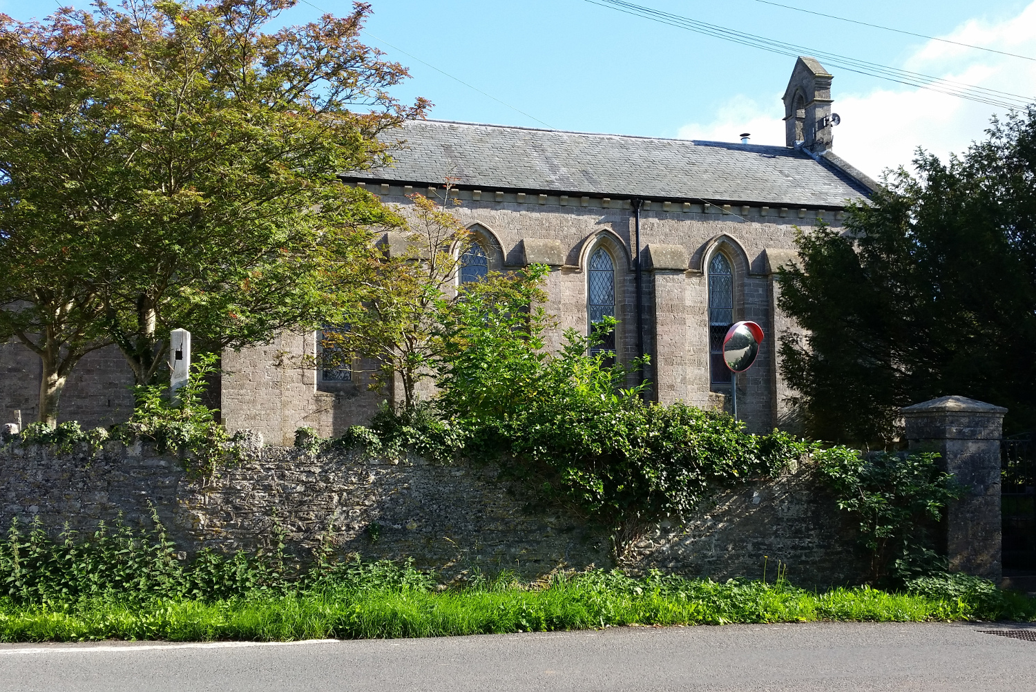
St John's Church, East Horrington
St John's Church is a former Church of England church in East Horrington, Somerset, England. It was built in 1838 to the designs of Richard Carver and...

Horrington
Horrington is a collection of three small villages (South Horrington, East Horrington and West Horrington) in the parish of St Cuthbert Out 1 mile (2 km...
Nearby Amenities
Located within 500m of 51.204291,-2.5963906Have you been to Dinder Wood?
Leave your review of Dinder Wood below (or comments, questions and feedback).