Bednal Coppice
Wood, Forest in Worcestershire Malvern Hills
England
Bednal Coppice

Bednal Coppice is a picturesque woodland located in Worcestershire, England. Situated in the rural area of Bednal, the coppice covers an area of approximately 30 acres. It is known for its dense and diverse vegetation, making it a popular destination for nature enthusiasts and hikers.
The woodland is predominantly composed of deciduous trees, including oak, beech, and ash, which provide a vibrant display of colors during the autumn months. The tree canopy creates a cool and shaded environment, making it an ideal retreat during hot summer days. Additionally, the dense foliage acts as a habitat for a variety of wildlife, including birds, squirrels, and deer, making it a great spot for birdwatching and animal observation.
Several well-marked footpaths wind through the coppice, allowing visitors to explore its natural beauty. The paths are well-maintained and suitable for all ages and fitness levels. Along the way, there are benches and picnic spots for visitors to rest and enjoy the tranquil surroundings.
Bednal Coppice is also home to a diverse range of plant species, including bluebells, primroses, and wild garlic, which create stunning displays of color and fragrance in the springtime. These vibrant flowers attract a multitude of butterflies and bees, adding to the coppice's natural charm.
Overall, Bednal Coppice offers a peaceful and serene escape from the hustle and bustle of everyday life. Its natural beauty, diverse wildlife, and well-maintained footpaths make it a popular destination for locals and tourists alike, seeking to immerse themselves in Worcestershire's enchanting woodlands.
If you have any feedback on the listing, please let us know in the comments section below.
Bednal Coppice Images
Images are sourced within 2km of 52.305968/-2.6111909 or Grid Reference SO5867. Thanks to Geograph Open Source API. All images are credited.


Bednal Coppice is located at Grid Ref: SO5867 (Lat: 52.305968, Lng: -2.6111909)
Administrative County: Worcestershire
District: Malvern Hills
Police Authority: West Mercia
What 3 Words
///ripen.smoothly.comical. Near Tenbury Wells, Worcestershire
Nearby Locations
Related Wikis
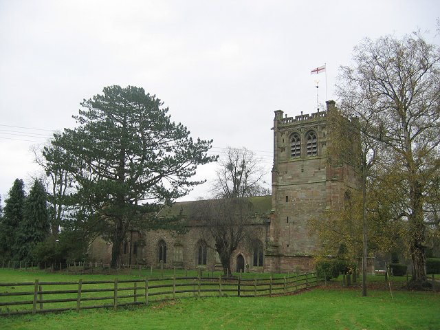
St Mary's Church, Burford
St Mary's Church, Burford, is located near to Burford House in Shropshire, England, about 0.7 miles (1 km) to the west of Tenbury Wells. It is an active...
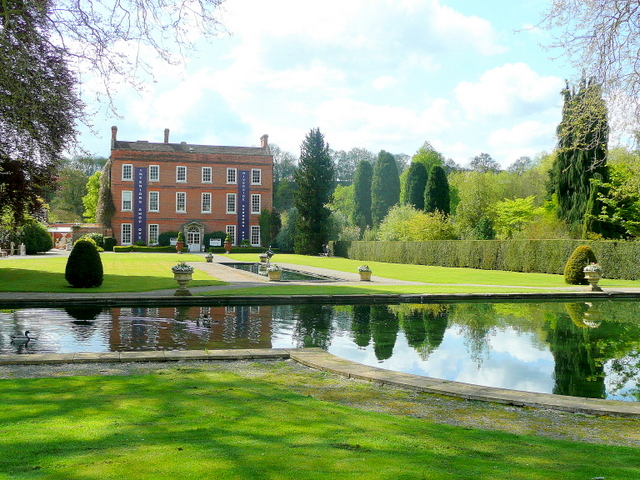
Burford House, Shropshire
Burford House is an 18th-century country house in Burford, Shropshire, near Tenbury Wells, Worcestershire, England. It now functions as a garden centre...

Tenbury High Ormiston Academy
Tenbury High Ormiston Academy (formerly Tenbury High School) is a coeducational secondary school with academy status located in Tenbury Wells in the English...
Tenbury Museum
Tenbury Museum is a museum in the market town of Tenbury Wells, Worcestershire, England. It holds a collection of local and social history objects, plus...
Berrington Green
Berrington Green is a village in Worcestershire, England near Tenbury Wells. == External links == Media related to Berrington Green at Wikimedia Commons

Oldwood, Worcestershire
Oldwood is a hamlet in the English county of Worcestershire. Oldwood is located on the A4112 road a mile southwest of the market town of Tenbury Wells...
Burford Rural District
Burford was a Rural district in Shropshire in England from 1894 to 1934. It was formed under the Local Government Act 1894 that part of the Tenbury rural...

Tenbury Wells railway station
Tenbury Wells railway station was a station in Burford, Shropshire, England. Serving the town of Tenbury Wells across the River Teme in Worcestershire...
Nearby Amenities
Located within 500m of 52.305968,-2.6111909Have you been to Bednal Coppice?
Leave your review of Bednal Coppice below (or comments, questions and feedback).