Bottom Close Coppice
Wood, Forest in Somerset Mendip
England
Bottom Close Coppice

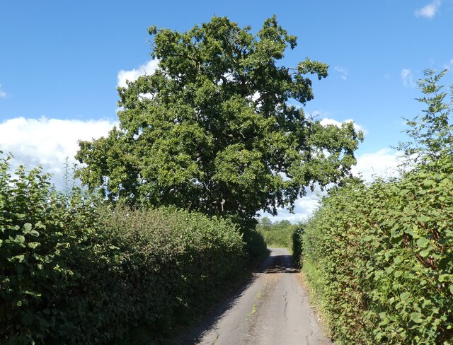
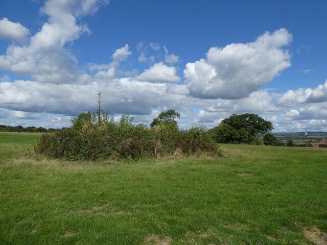
Bottom Close Coppice is a picturesque woodland located in Somerset, England. Covering an area of approximately 20 acres, it is a remarkable example of a coppice woodland. The site is situated in the heart of the Mendip Hills, an Area of Outstanding Natural Beauty.
The coppice is primarily composed of native broadleaf trees, including oak, ash, beech, and hazel. These trees have been traditionally managed through a coppicing system, where individual stems are periodically cut down to ground level to encourage new growth. This sustainable practice has been carried out in the coppice for centuries, providing a valuable source of timber and wood fuel.
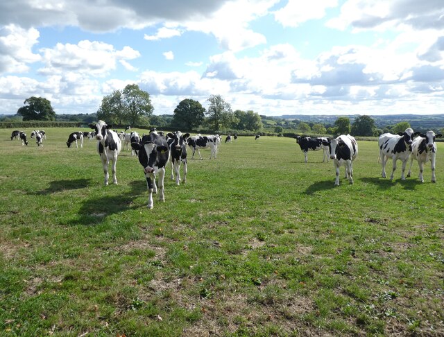
Walking through Bottom Close Coppice, visitors are greeted by a diverse range of flora and fauna. The woodland floor is carpeted with a variety of wildflowers, such as bluebells, primroses, and wood anemones, creating a vibrant display during the spring months. This rich understorey also provides a habitat for numerous species of insects, birds, and small mammals.
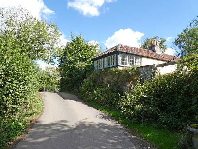
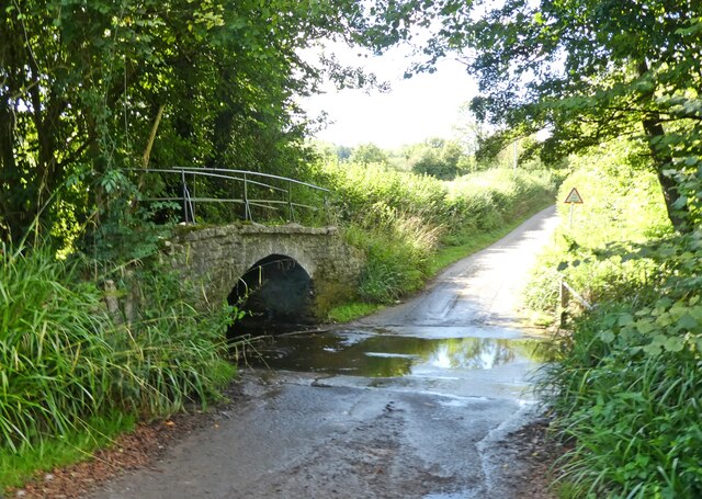
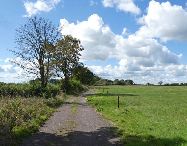
The woodland is crisscrossed by a network of footpaths, allowing visitors to explore its beauty at their own pace. These paths lead to hidden glades, tranquil streams, and breathtaking viewpoints, offering a sense of tranquility and a connection with nature.
Bottom Close Coppice also serves as an important educational resource, with organized tours and workshops focusing on woodland management, conservation, and wildlife appreciation. Visitors can learn about the history of coppicing and its ecological benefits, as well as participate in hands-on activities such as tree planting and habitat restoration.
In conclusion, Bottom Close Coppice is a captivating woodland that showcases the beauty and ecological importance of coppice woodlands. Its rich biodiversity, scenic walks, and educational opportunities make it a must-visit destination for nature lovers and anyone seeking a peaceful retreat in the heart of Somerset.
If you have any feedback on the listing, please let us know in the comments section below.
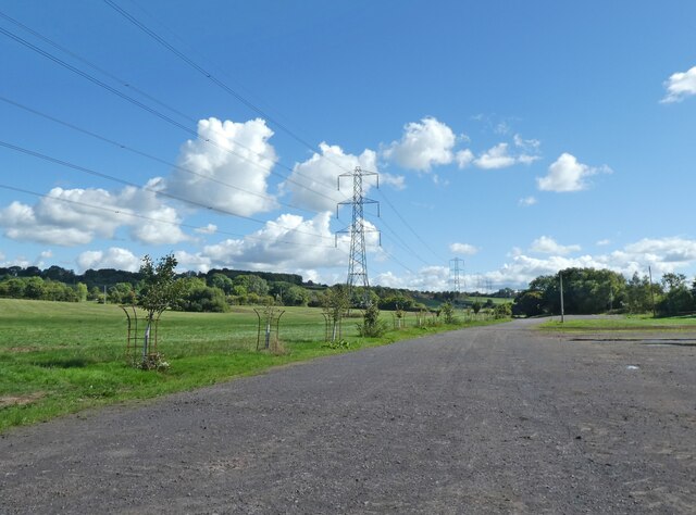
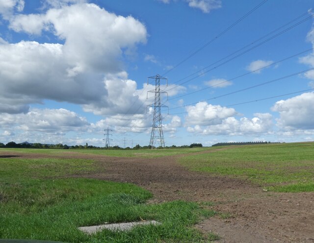
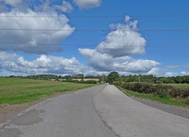
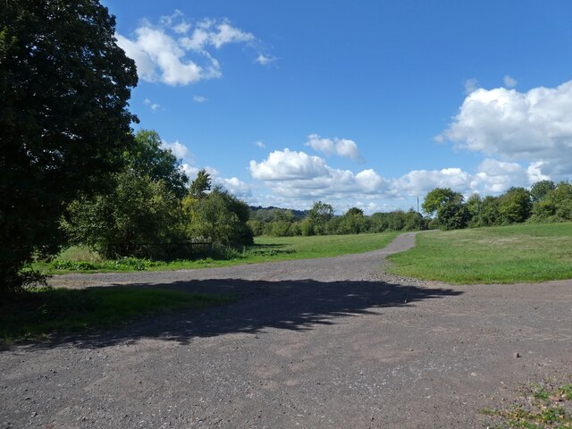
Bottom Close Coppice Images
Images are sourced within 2km of 51.143793/-2.5996988 or Grid Reference ST5838. Thanks to Geograph Open Source API. All images are credited.


Bottom Close Coppice is located at Grid Ref: ST5838 (Lat: 51.143793, Lng: -2.5996988)
Administrative County: Somerset
District: Mendip
Police Authority: Avon and Somerset
What 3 Words
///squashes.group.slower. Near Shepton Mallet, Somerset
Nearby Locations
Related Wikis

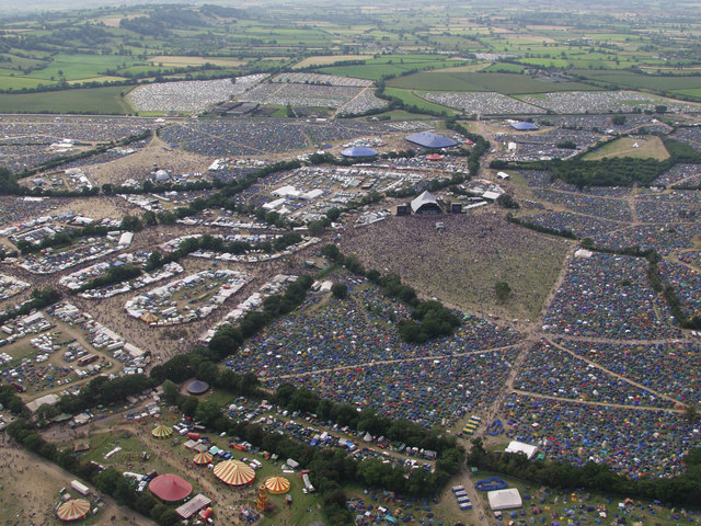
Glastonbury Festival
Glastonbury Festival (formally Glastonbury Festival of Contemporary Performing Arts and known colloquially as Glasto) is a five-day festival of contemporary...

West Pennard railway station
West Pennard railway station was a station on the Highbridge branch of the Somerset and Dorset Joint Railway. Opened on 3 February 1862, it was reduced...

East Pennard
East Pennard is a village and civil parish 4 miles (6.4 km) north west of Castle Cary, and 5 miles (8.0 km) south of Shepton Mallet, in the Mendip district...
Worthy FM
Worthy FM is the onsite radio station of The Glastonbury Festival. It broadcasts on 87.7 MHz FM and online for one week only during the Festival, operating...
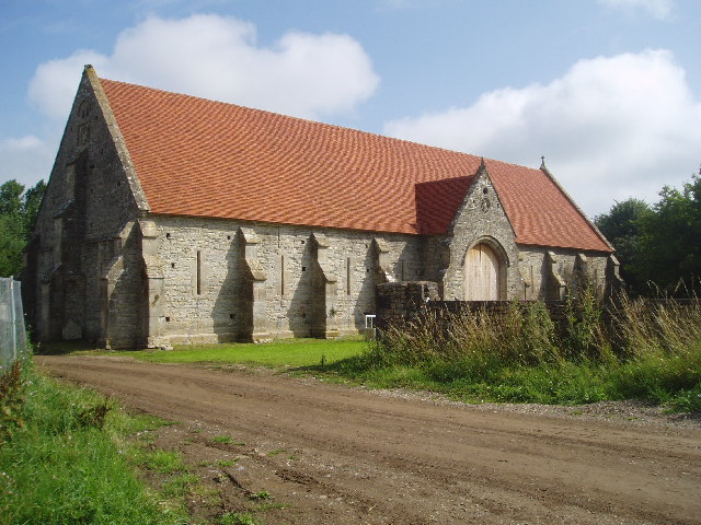
Tithe Barn, Pilton
The Tithe Barn at Cumhill Farm in Pilton, Somerset, England, was built in the 14th century as a tithe barn to hold produce for Glastonbury Abbey. It is...
Pylle
Pylle is a village and civil parish 4 miles (6.4 km) south west of Shepton Mallet, and 7 miles (11.3 km) from Wells, in the Mendip district of Somerset...
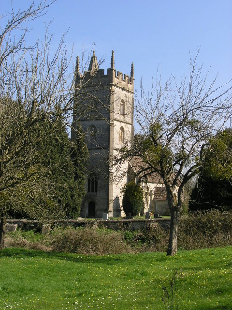
Church of St Thomas à Becket, Pylle
The Anglican Church of St Thomas à Becket in Pylle, Somerset, England, was built in the 15th century. It is a Grade II* listed building. == History... ==
Pilton, Somerset
Pilton is a village and civil parish in Somerset, England, situated on the A361 road in the Mendip district, 3 miles (5 km) south-west of Shepton Mallet...
Nearby Amenities
Located within 500m of 51.143793,-2.5996988Have you been to Bottom Close Coppice?
Leave your review of Bottom Close Coppice below (or comments, questions and feedback).