Bury Rough
Wood, Forest in Shropshire
England
Bury Rough

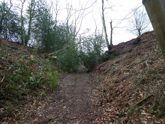
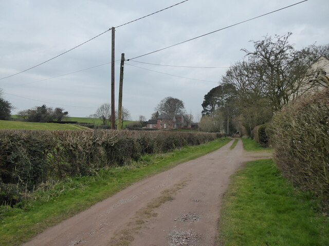
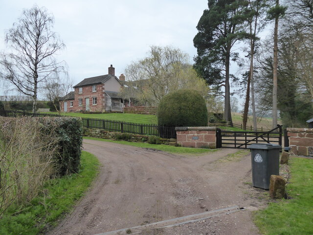
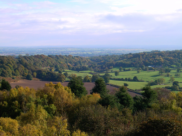
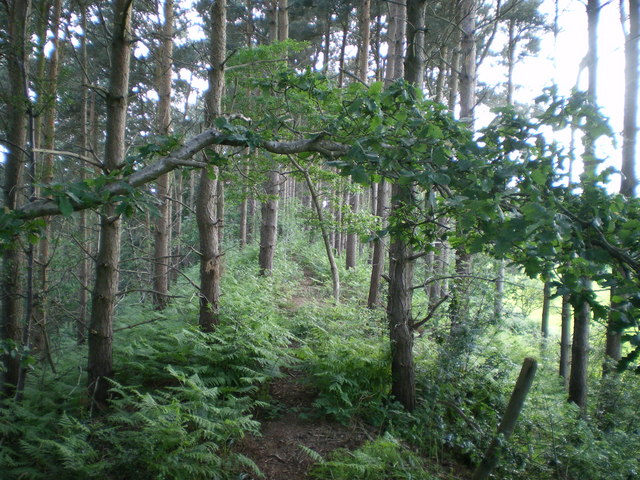
Bury Rough is a picturesque woodland located in Shropshire, England. Situated in the heart of the county, this wooded area is renowned for its natural beauty, rich biodiversity, and tranquil atmosphere. Spanning over several hectares, Bury Rough is a significant part of the local landscape and an important habitat for various flora and fauna.
The woodland is characterized by a dense canopy of trees, predominantly composed of oak, beech, and birch. These towering trees provide shelter and sustenance for a diverse range of wildlife, including various bird species, small mammals, and insects. The forest floor is adorned with a vibrant carpet of wildflowers, creating a striking contrast against the lush greenery of the trees.
Bury Rough is a popular destination for nature enthusiasts and outdoor enthusiasts alike. The area offers several walking trails that wind through the woodland, allowing visitors to immerse themselves in the serene ambiance while observing the natural wonders that abound. The trails are well-maintained and offer varying levels of difficulty, catering to both casual walkers and seasoned hikers.
Additionally, Bury Rough is home to a small, secluded lake, which further enhances the area's charm. The lake provides a habitat for aquatic plants and creatures, and it is a common spot for fishing and birdwatching.
Overall, Bury Rough in Shropshire is a captivating woodland that showcases the beauty of nature in all its glory. Whether it's a leisurely stroll, a birdwatching expedition, or simply a moment of solace amidst the trees, this forest is a haven for anyone seeking respite and a connection to the natural world.
If you have any feedback on the listing, please let us know in the comments section below.
Bury Rough Images
Images are sourced within 2km of 52.84555/-2.6238664 or Grid Reference SJ5827. Thanks to Geograph Open Source API. All images are credited.


Bury Rough is located at Grid Ref: SJ5827 (Lat: 52.84555, Lng: -2.6238664)
Unitary Authority: Shropshire
Police Authority: West Mercia
What 3 Words
///crumple.committed.because. Near Stoke upon Tern, Shropshire
Nearby Locations
Related Wikis
Bury Walls
Bury Walls is an Iron Age hillfort about 1 mile (1.6 km) south-east of Weston-under-Redcastle, in Shropshire, England. It is a scheduled monument. ��2...

Hawkstone Park Motocross Circuit
Hawkstone Park Motocross Circuit, typically referred to as Hawkstone Park or Hawkstone, is a motocross circuit situated near Market Drayton, north Shropshire...

Hawkstone Park
Hawkstone Park is a destination on the English Grand Tour and is a historic landscape park with pleasure grounds and gardens. It historically associated...

Weston-under-Redcastle
Weston-under-Redcastle is an estate village of the Sir Rowland Hill legacy estates. It is a civil parish in Shropshire, England. It lies 10 km (6.2 miles...

Hawkstone Hall
Hawkstone Hall is a 43,400 square feet (4,030 m2) early 18th-century country mansion near Hodnet, Shropshire, England which was more recently occupied...

Moston, Shropshire
Moston is a hamlet in North Shropshire, England, about 10 miles or 16 km north-east of Shrewsbury. In 1870–72, John Marius Wilson's Imperial Gazetteer...

Hodnet Hall
Hodnet Hall is a country house and estate in Hodnet, Shropshire, England. Hodnet Old Hall was a timber-framed manor house surrounded by the park which...
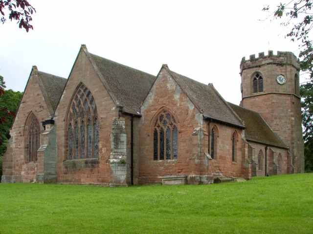
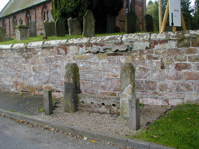
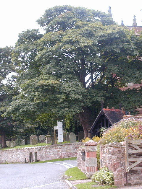
St Luke's Church, Hodnet
St Luke's Church is in the village of Hodnet, Shropshire, England. It is an active Anglican parish church in the deanery of Hodnet, the archdeaconry of...
Nearby Amenities
Located within 500m of 52.84555,-2.6238664Have you been to Bury Rough?
Leave your review of Bury Rough below (or comments, questions and feedback).