Big Holme Strip
Wood, Forest in Cumberland Eden
England
Big Holme Strip

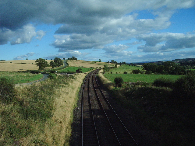
Big Holme Strip is a prominent forested area located in Cumberland, England. Situated within the larger region known as the Lake District, this woodland is renowned for its natural beauty and diverse ecosystem. Spanning approximately 200 acres, the strip is characterized by its dense tree cover and abundant wildlife.
The forest consists primarily of deciduous trees such as oak, beech, and birch, which contribute to the area's rich biodiversity. These trees provide a habitat for numerous animal species, including deer, foxes, badgers, and a variety of bird species. The woodlands are also home to several rare and protected species, such as the red squirrel and the pearl-bordered fritillary butterfly, making it an important conservation area.
Visitors to Big Holme Strip can explore the forest through a network of well-maintained footpaths and trails. These paths offer stunning views of the surrounding countryside and provide opportunities for activities such as hiking, birdwatching, and nature photography. The forest is a popular destination for both locals and tourists, who are drawn to its tranquil atmosphere and natural splendor.
In addition to its recreational value, Big Holme Strip has historically played a significant role in the local economy. The forest has been a source of timber for centuries, and sustainable forestry practices continue to be implemented to ensure its long-term conservation and utilization.
Overall, Big Holme Strip in Cumberland is a captivating woodland that offers a serene escape into nature. With its diverse flora and fauna, well-maintained trails, and cultural significance, it remains a cherished destination for nature enthusiasts and conservationists alike.
If you have any feedback on the listing, please let us know in the comments section below.
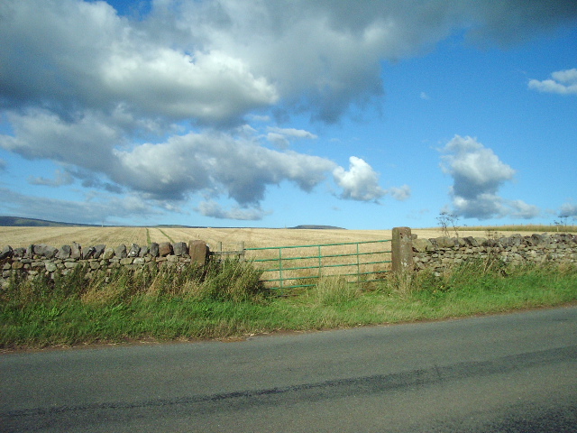
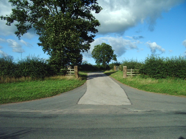
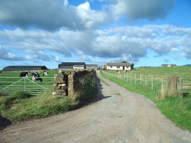
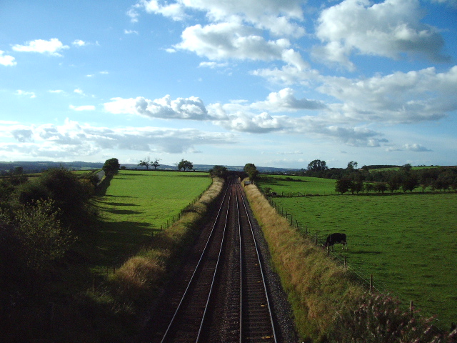
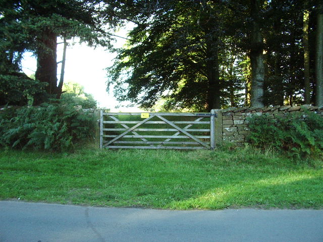
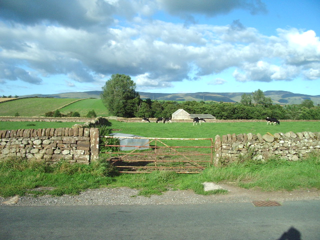
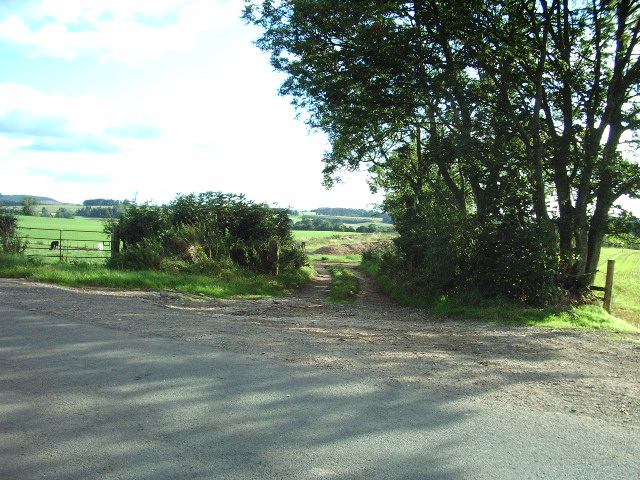
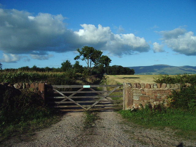
Big Holme Strip Images
Images are sourced within 2km of 54.672888/-2.6533781 or Grid Reference NY5731. Thanks to Geograph Open Source API. All images are credited.


Big Holme Strip is located at Grid Ref: NY5731 (Lat: 54.672888, Lng: -2.6533781)
Administrative County: Cumbria
District: Eden
Police Authority: Cumbria
What 3 Words
///enacted.seducing.offshore. Near Penrith, Cumbria
Nearby Locations
Related Wikis

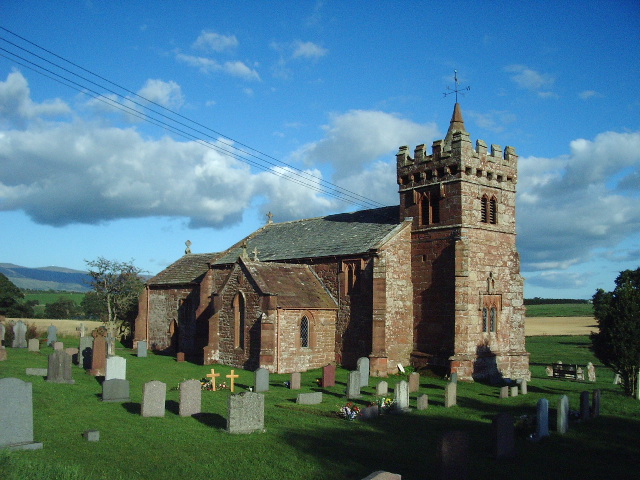
St Cuthbert's Church, Edenhall
St Cuthbert's Church is located near the village of Edenhall, Cumbria, England. It is an active Anglican parish church in the deanery of Penrith, the...
Edenhall
Edenhall is a clustered village and former civil parish, now in the south-west of the parish of Langwathby, 800m to the north in the Westmorland and Furness...

RAF Hornby Hall
RAF Hornby Hall was a Royal Air Force satellite landing ground located near Brougham, 4 miles (6.4 km) east of Penrith, Cumbria and 8.8 miles (14.2 km...
Ninekirks
Ninekirks is the local name for St Ninian's church, Brougham, Cumbria. Dedicated to Saint Ninian, it was formerly the Anglican parish church for Brougham...
Nearby Amenities
Located within 500m of 54.672888,-2.6533781Have you been to Big Holme Strip?
Leave your review of Big Holme Strip below (or comments, questions and feedback).