Butler's Plantation
Wood, Forest in Shropshire
England
Butler's Plantation

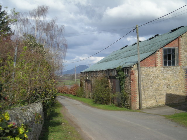
Butler's Plantation is a charming woodland area located in Shropshire, England. Situated amidst the picturesque countryside, this plantation is a haven for nature enthusiasts and offers a tranquil retreat from the bustling city life.
Covering an area of approximately 100 acres, Butler's Plantation is predominantly characterized by dense woodlands and lush greenery. The plantation is home to a diverse range of trees, including oak, beech, and birch, which provide a rich habitat for various species of birds, insects, and small mammals.
Visitors to Butler's Plantation can enjoy a leisurely stroll along the well-maintained footpaths that wind through the woods, offering beautiful views of the surrounding landscape. The plantation also features a network of trails, perfect for hiking and exploring the area's natural beauty.
In addition to its natural attractions, Butler's Plantation also boasts a rich history. Originally part of a larger estate, the plantation has been managed by the Butler family for several generations. The family's dedication to preserving the woodland has ensured its conservation and allowed visitors to appreciate its beauty for years to come.
Butler's Plantation offers a range of amenities for visitors, including picnic areas, benches, and information boards that provide insight into the plantation's history and wildlife. The plantation is open to the public throughout the year, allowing visitors to experience the changing seasons and witness the vibrant colors of autumn or the blooming of wildflowers in spring.
Overall, Butler's Plantation in Shropshire offers a peaceful and enchanting escape into nature, providing a delightful experience for individuals and families alike.
If you have any feedback on the listing, please let us know in the comments section below.
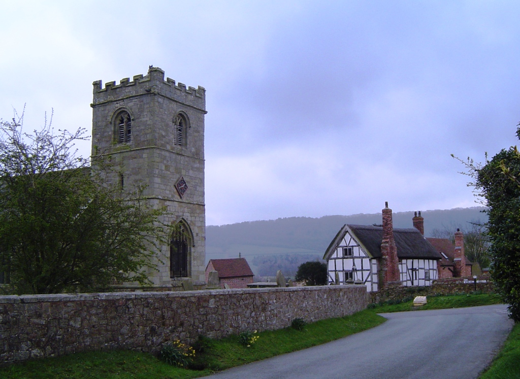
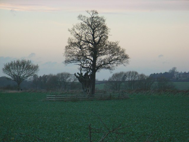
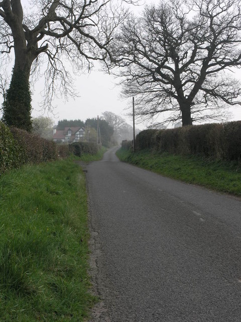
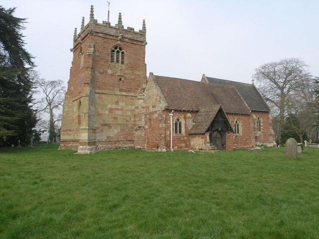
Butler's Plantation Images
Images are sourced within 2km of 52.616571/-2.6224808 or Grid Reference SJ5702. Thanks to Geograph Open Source API. All images are credited.


Butler's Plantation is located at Grid Ref: SJ5702 (Lat: 52.616571, Lng: -2.6224808)
Unitary Authority: Shropshire
Police Authority: West Mercia
What 3 Words
///edit.excavated.maker. Near Kenley, Shropshire
Nearby Locations
Related Wikis
Harley, Shropshire
Harley is a village and civil parish in the English county of Shropshire. The population of the civil parish at the 2011 census was 163. == Location... ==
Cressage
Cressage is a village and civil parish in Shropshire, England. It lies on the junction of the A458 and B4380 roads and the River Severn flows around its...
Harnage
Harnage is a small village in the English county of Shropshire. It is located just SE of the village of Cound, in whose civil parish it lies, and the nearest...

Cressage railway station
Cressage railway station was a railway station on the Severn Valley Railway. It opened on 1 February 1862 with a single platform and a siding. By 1898...

Kenley, Shropshire
Kenley is a small village and civil parish in the English county of Shropshire. It is located in remote countryside, atop a ridge at around 180 metres...

Cound Halt railway station
Cound Halt was an unstaffed railway station on the Severn Valley line in Shropshire, England. It opened on 4 August 1934 and although thought by some people...
St Peter's Church, Cound
St Peter's Church is in the grounds of Cound Hall, Cound, Shropshire, England. It is an active Anglican parish church in the deanery of Condover, the archdeaconry...
Acton Pigott
Acton Pigott is a hamlet in the English county of Shropshire. It lies just outside the village of Acton Burnell. == See also == Listed buildings in Acton...
Nearby Amenities
Located within 500m of 52.616571,-2.6224808Have you been to Butler's Plantation?
Leave your review of Butler's Plantation below (or comments, questions and feedback).