Plough Patch Copse

Wood, Forest in Somerset

England

Plough Patch Copse

Moreton Lane Or is it Stratford Lane? This is from where the public road of the latter comes to an end, by a car park. The lane shown certainly turns into Moreton Lane, taking a circuitous course near the lake's margin before arriving at the gate shown in <a href="https://www.geograph.org.uk/photo/7111554">ST5558 : Gate, Moreton Lane</a>.
Moreton Lane Credit: Derek Harper

Plough Patch Copse is a charming woodland located in Somerset, England. Covering an area of approximately 30 acres, this picturesque copse is nestled within the rolling hills of the Somerset countryside. The copse is primarily composed of a mix of deciduous and coniferous trees, creating a diverse and vibrant ecosystem.

The copse is home to a variety of wildlife, including numerous bird species such as woodpeckers, owls, and songbirds. Additionally, small mammals like squirrels, rabbits, and hedgehogs can be spotted meandering through the undergrowth. The copse provides a safe haven for these creatures, offering ample food and shelter.

Visitors to Plough Patch Copse are greeted by a network of well-maintained walking trails that wind through the woodland. These trails provide an excellent opportunity to explore the copse and immerse oneself in the tranquility of nature. Along the trails, benches and picnic areas are strategically placed, inviting visitors to pause and admire the beautiful surroundings.

The copse is particularly enchanting during the spring and summer months when wildflowers blanket the forest floor, creating a vibrant carpet of colors. The scent of blooming flowers fills the air, adding to the copse's allure. Autumn brings a stunning display of foliage as the leaves change from vibrant greens to rich shades of red, orange, and gold.

Plough Patch Copse is a true gem of Somerset, offering visitors a chance to escape the hustle and bustle of everyday life and reconnect with nature. Its beauty and biodiversity make it a must-visit destination for nature enthusiasts and those seeking a peaceful retreat.

If you have any feedback on the listing, please let us know in the comments section below.

Plough Patch Copse Images

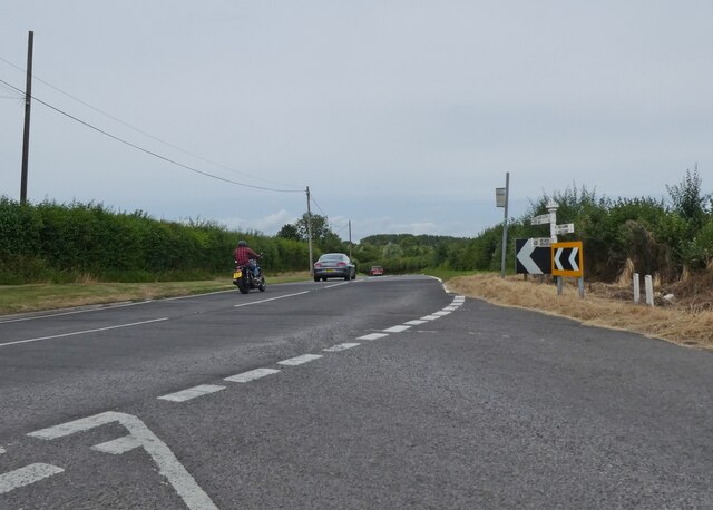
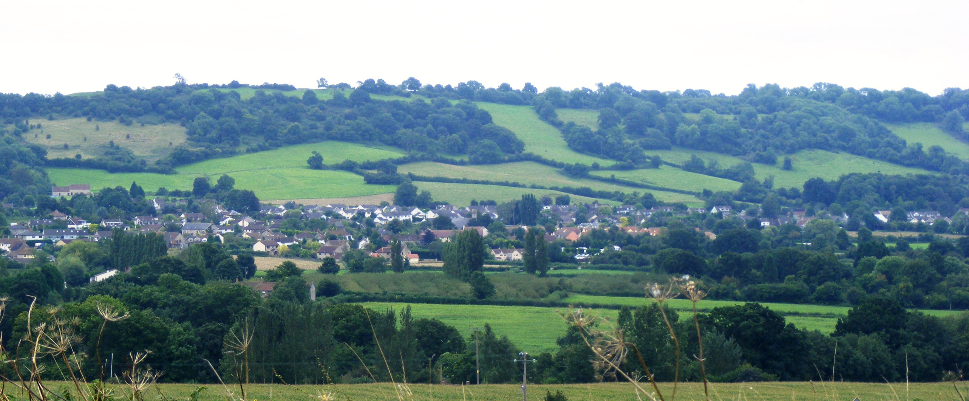
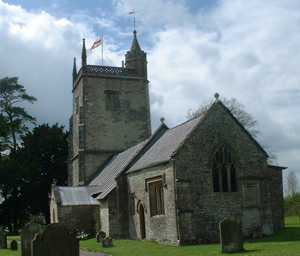
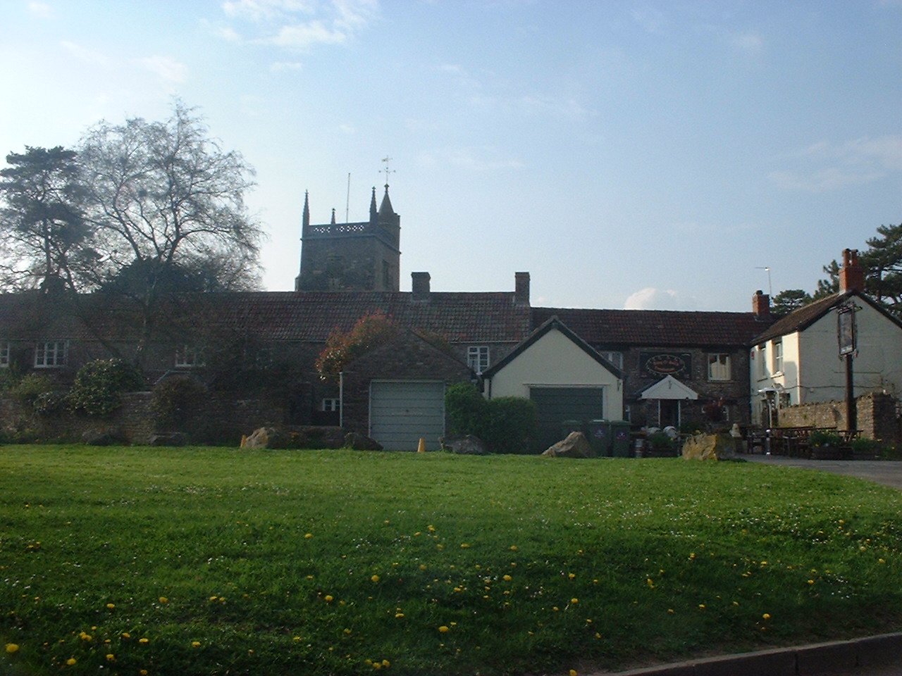
Images are sourced within 2km of 51.321277/-2.6049388 or Grid Reference ST5758. Thanks to Geograph Open Source API. All images are credited.

Moreton Lane Or is it Stratford Lane? This is from where the public road of the latter comes to an end, by a car park. The lane shown certainly turns into Moreton Lane, taking a circuitous course near the lake's margin before arriving at the gate shown in <a href="https://www.geograph.org.uk/photo/7111554">ST5558 : Gate, Moreton Lane</a>.
Moreton Lane
Or is it Stratford Lane? This is from where the public road of the latter comes to an end, by a car park. The lane shown certainly turns into Moreton Lane, taking a circuitous course near the lake's margin before arriving at the gate shown in ST5558 : Gate, Moreton Lane.
Stratford Lane Looking left from <a href="https://www.geograph.org.uk/photo/7112313">ST5658 : Moreton Lane</a>, from the end of the public road. It is followed by the parish boundary between West Harptree (left) and Compton Martin.
Stratford Lane
Looking left from ST5658 : Moreton Lane, from the end of the public road. It is followed by the parish boundary between West Harptree (left) and Compton Martin.
Trees and field by Stratford Lane The view from the gate seen in <a href="https://www.geograph.org.uk/photo/7112389">ST5658 : Stratford Lane</a>. Footpath CL 7/25 runs past the row of trees before turning away to the right.
Trees and field by Stratford Lane
The view from the gate seen in ST5658 : Stratford Lane. Footpath CL 7/25 runs past the row of trees before turning away to the right.
Field by Stratford Lane On the other side of the lane from <a href="https://www.geograph.org.uk/photo/7112395">ST5658 : Trees and field by Stratford Lane</a>. The kissing gate shows where footpath CL 23/37 enters the field from a car park; it follows the fence away from the camera
Field by Stratford Lane
On the other side of the lane from ST5658 : Trees and field by Stratford Lane. The kissing gate shows where footpath CL 23/37 enters the field from a car park; it follows the fence away from the camera
Farmland by Stratford Lane A view from the gate shown in <a href="https://www.geograph.org.uk/photo/7112409">ST5557 : Stratford Lane</a>. Chew Valley Lake can be glimpsed towards the right.
Farmland by Stratford Lane
A view from the gate shown in ST5557 : Stratford Lane. Chew Valley Lake can be glimpsed towards the right.
Cattle pasture by Stratford Lane Looking right from <a href="https://www.geograph.org.uk/photo/7112471">ST5558 : Farmland by Stratford Lane</a>.
Cattle pasture by Stratford Lane
View of the lake from birdwatching hide
Boardwalk to the birdwatching hide
St Michael's Church House
Minor road to South Widcombe
Widcombe Cottage
Widcombe Cottage
Minor road on Bushy Common
Field of stubble on Bushy Common
Path to East Harptree
North Widcombe Farm
North Widcombe Farm
Barn conversions at North Widcombe
'Redbrick Cottages'
'Redbrick Cottages'
Turning for the A368
Show me another place!

Plough Patch Copse is located at Grid Ref: ST5758 (Lat: 51.321277, Lng: -2.6049388)

Unitary Authority: Bath and North East Somerset

Police Authority: Avon and Somerset

What 3 Words

///trimmer.overheat.financial. Near Bishop Sutton, Somerset

Related Wikis

Burledge Hill

Burledge Hill (grid reference ST588587) is on the southern edge of the village of Bishop Sutton, Somerset, England. It is the site of a Site of Special...

Bishop Sutton A.F.C.

Bishop Sutton Association Football Club is a football club based in Bishop Sutton, Somerset, England. They are currently members of the Western League...

Bishop Sutton

Bishop Sutton (grid reference ST587597) is a village on the northern slopes of the Mendip Hills, within the affluent Chew Valley in Somerset. It lies east...

St Margaret's Church, Hinton Blewett

The Church of St Margaret in Hinton Blewett, Somerset, England probably dates from the 13th century although parts are as late as the 16th or 17th century...

Chew Valley

The Chew Valley is an affluent area in North Somerset, England, named after the River Chew, which rises at Chewton Mendip, and joins the River Avon at...

Hinton Blewett

Hinton Blewett is a village and civil parish in Somerset, England, 5 miles (8.0 km) north of Wells and 15 miles (24.1 km) south of Bristol on the northern...

Stowey-Sutton

Stowey-Sutton is a civil parish in the Bath and North East Somerset District of Somerset, England within the Chew Valley. The parish contains the villages...

West Harptree

West Harptree is a small village and civil parish in the Chew Valley, Somerset within the unitary district of Bath and North East Somerset. The parish...

Nearby Amenities

Located within 500m of 51.321277,-2.6049388
Bus Stop
New Manor Farm
Naptan AtcoCode: 0180BAC31123
Naptan Bearing: S
Naptan CommonName: New Manor Farm
Naptan NaptanCode: bthadtp
Naptan Street: A368
Naptan Verified: no
Source: naptan_import
Lat/Long: 51.32293/-2.6115998
Barrier: yes
Lat/Long: 51.3183127/-2.605285
Power: pole
Transformer: distribution
Lat/Long: 51.3184775/-2.6046772
Power: pole
Lat/Long: 51.3192084/-2.6056592
Power: pole
Lat/Long: 51.3195811/-2.6062025
Power: pole
Lat/Long: 51.3202181/-2.6070696
Power: pole
Lat/Long: 51.3200564/-2.6082558
Power: pole
Lat/Long: 51.3210134/-2.6067677
Power: pole
Lat/Long: 51.3218376/-2.6064596
Power: pole
Transformer: distribution
Lat/Long: 51.3198921/-2.6094434
Power: pole
Transformer: distribution
Lat/Long: 51.3223395/-2.6108676
Power: pole
Lat/Long: 51.3221667/-2.6093015
Power: pole
Lat/Long: 51.3219865/-2.6077035
Power: pole
Lat/Long: 51.3225158/-2.6062167
Power: pole
Lat/Long: 51.3230627/-2.6056745
Power: pole
Lat/Long: 51.3236174/-2.6051314
Power: pole
Lat/Long: 51.3242605/-2.6052269
Power: pole
Lat/Long: 51.3249267/-2.6053378
Power: pole
Lat/Long: 51.3254648/-2.6065331
The data included in this document is from www.openstreetmap.org. The data is made available under ODbL.

Have you been to Plough Patch Copse?

Leave your review of Plough Patch Copse below (or comments, questions and feedback).