Cook's Green
Settlement in Suffolk Babergh
England
Cook's Green
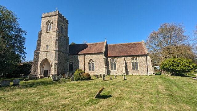
Cook's Green is a small village located in the county of Suffolk, England. Situated approximately 8 miles southwest of the market town of Sudbury, it falls within the Babergh district. The village is part of the civil parish of Milden and is surrounded by picturesque countryside, offering a tranquil and idyllic setting.
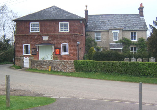
With a population of just over 100 residents, Cook's Green is a close-knit community. The village is characterized by a scattering of traditional Suffolk-style houses, many of which are constructed from local materials such as flint and timber. The architecture exudes a charming rural aesthetic, adding to the village's quaint and timeless appeal.
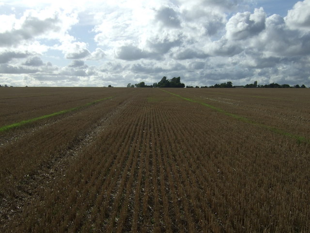
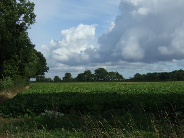
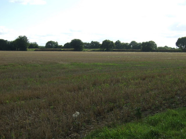
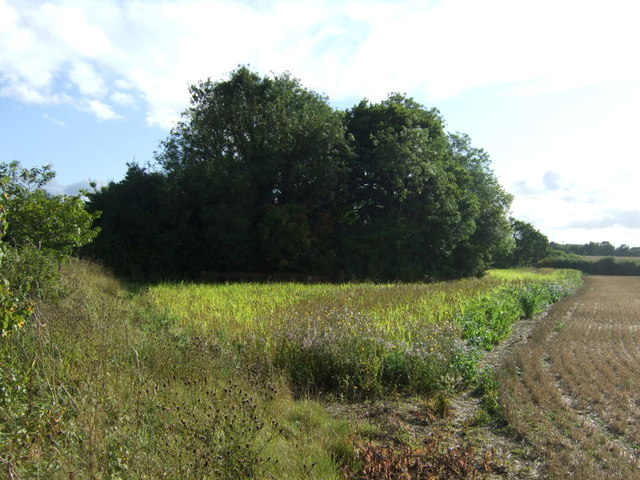
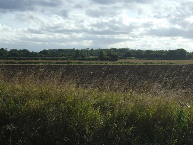
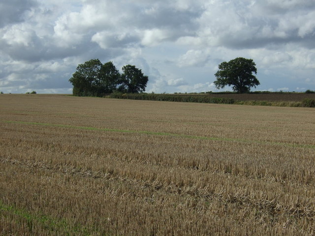
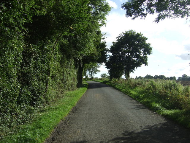
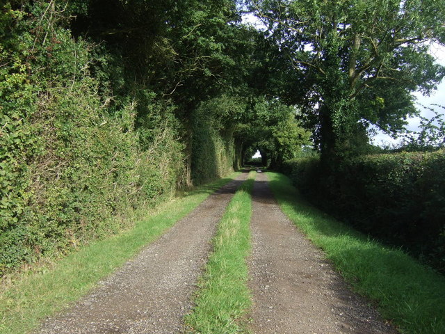
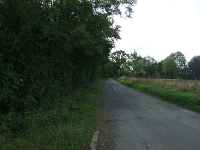
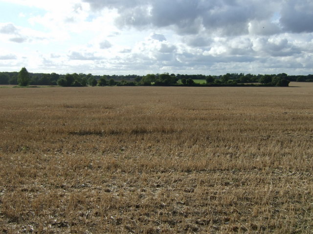
Nature enthusiasts are drawn to Cook's Green for its scenic beauty. The village is surrounded by rolling fields, meadows, and woodlands, making it an ideal location for countryside walks and outdoor activities. The area is also home to a variety of wildlife, including birds and small mammals, further enhancing the natural ambiance.
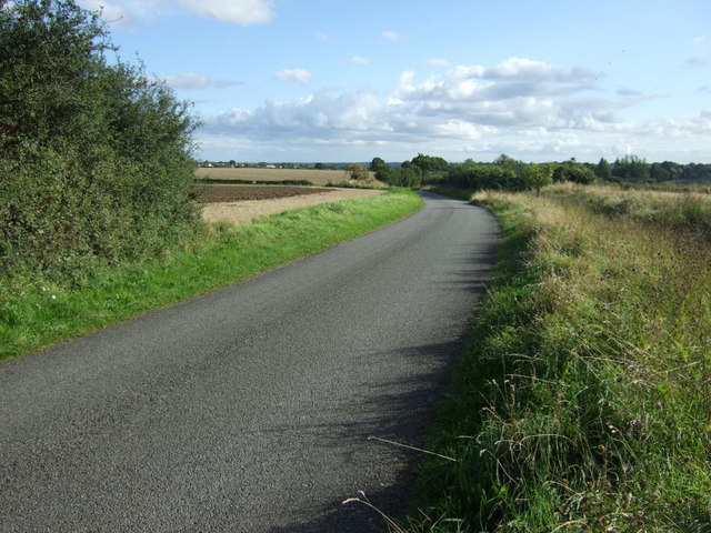
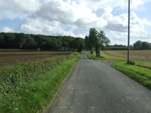
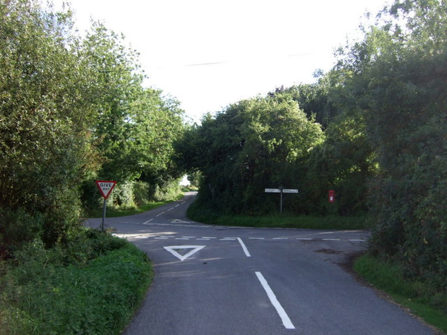
Despite its small size, Cook's Green benefits from its proximity to nearby amenities. The market town of Sudbury offers a range of services, including shops, supermarkets, schools, and healthcare facilities, all within easy reach. Additionally, the village is well-connected to the wider region via road networks, with the A131 passing nearby, providing convenient access to surrounding towns and cities.
In summary, Cook's Green is a charming and peaceful village nestled in the Suffolk countryside. With its traditional architecture, natural surroundings, and close-knit community, it offers a delightful retreat for those seeking a quintessential English rural experience.
If you have any feedback on the listing, please let us know in the comments section below.
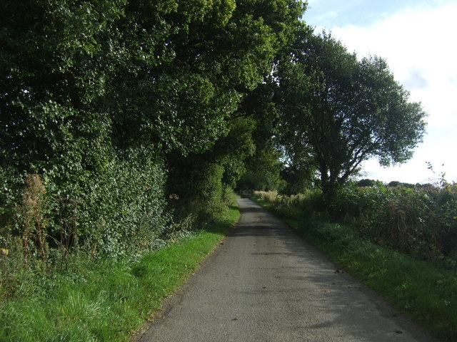
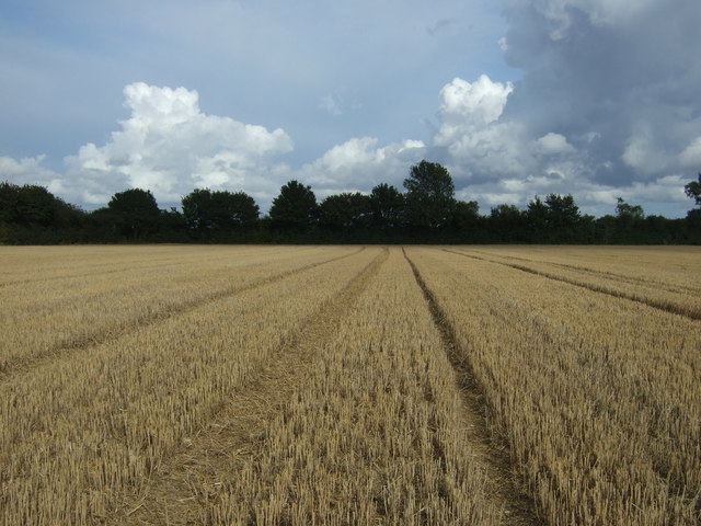
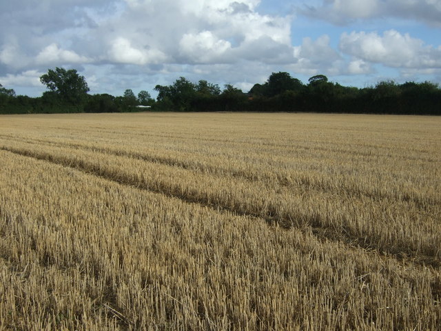
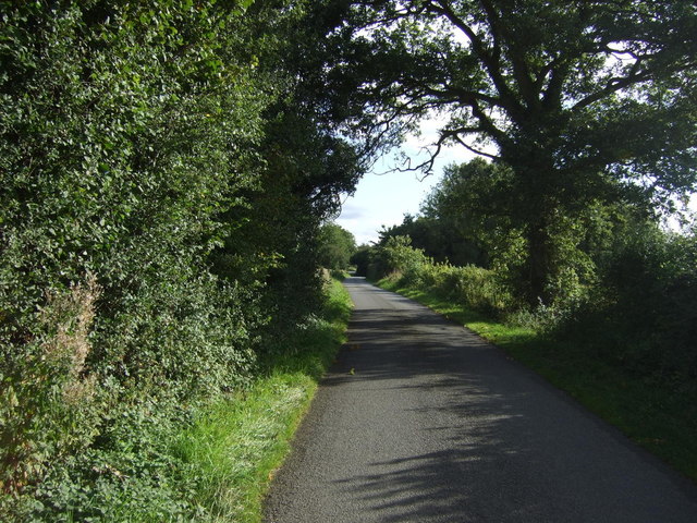
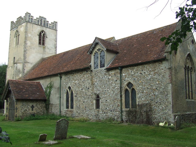
Cook's Green Images
Images are sourced within 2km of 52.143668/0.8939 or Grid Reference TL9853. Thanks to Geograph Open Source API. All images are credited.
Cook's Green is located at Grid Ref: TL9853 (Lat: 52.143668, Lng: 0.8939)
Administrative County: Suffolk
District: Babergh
Police Authority: Suffolk
What 3 Words
///streaking.fines.aquatics. Near Wattisham, Suffolk
Nearby Locations
Related Wikis
Brettenham, Suffolk
Brettenham is a village and civil parish in the Babergh district of Suffolk, England. In 2005 it had a population of 270, increasing to 353 at the 2011...

Centre Academy East Anglia
Centre Academy East Anglia, formerly known as The Old Rectory School is a private special school in Brettenham, Suffolk, England, founded in 1981. The...
Old Buckenham Hall School
Old Buckenham Hall School (commonly known as OBH) is a day and boarding preparatory school with pre-prep for boys and girls in the village of Brettenham...

Hitcham, Suffolk
Hitcham is a village and civil parish in Suffolk, England. Located on the B1115 road, between Hadleigh and Stowmarket, it is part of Babergh district....
Wattisham Strict Baptist Chapel
Wattisham Strict Baptist Chapel is a Strict Baptist chapel in the village of Wattisham in Suffolk, England. It was built in 1825 and has been a Grade II...

RAF Rattlesden
Royal Air Force Rattlesden or more simply RAF Rattlesden is a former Royal Air Force station located 9 miles (14 km) south east of Bury St Edmunds, Suffolk...

Kettlebaston
Kettlebaston is a village and a civil parish with just over 30 inhabitants in the Babergh district of Suffolk, England, located around 3 miles (5 km) east...
Wattisham
Wattisham is a village and civil parish near to the town of Stowmarket in Suffolk, England. From the 2011 Census the population of the parish was 110,...
Nearby Amenities
Located within 500m of 52.143668,0.8939Have you been to Cook's Green?
Leave your review of Cook's Green below (or comments, questions and feedback).