Abercwmboi
Settlement in Glamorgan
Wales
Abercwmboi

Abercwmboi is a small village located in the county of Glamorgan, Wales. Situated in the Cynon Valley, it lies approximately 3 miles north of Aberdare and 20 miles northwest of Cardiff, the capital city of Wales. The name Abercwmboi translates to "mouth of the valley of the boys" in English.
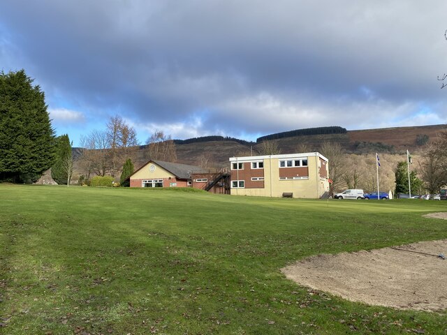
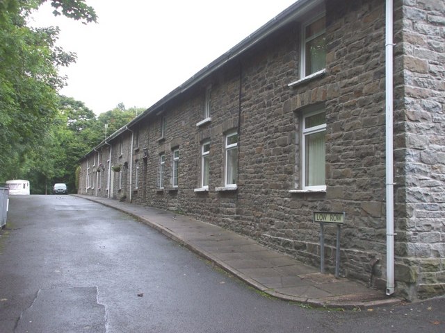
The village is nestled in a picturesque setting, surrounded by rolling hills and lush greenery. It is predominantly a residential area, with a close-knit community that takes great pride in its Welsh heritage and traditions. The local economy is primarily supported by coal mining and agriculture, with many residents being employed in these industries.
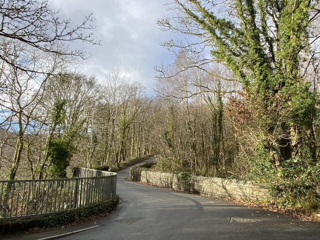
Abercwmboi boasts a range of amenities for its residents, including a primary school, community center, and a few local shops. The village is well-connected to nearby towns and cities through a reliable transportation network, with regular bus services and good road links.
Nature enthusiasts will find plenty to explore in the surrounding area, as Abercwmboi is situated close to several stunning natural attractions. The nearby Brecon Beacons National Park offers opportunities for hiking, cycling, and wildlife spotting.
Overall, Abercwmboi is a peaceful and charming village that offers a close community atmosphere, beautiful scenery, and easy access to both rural and urban areas.
If you have any feedback on the listing, please let us know in the comments section below.
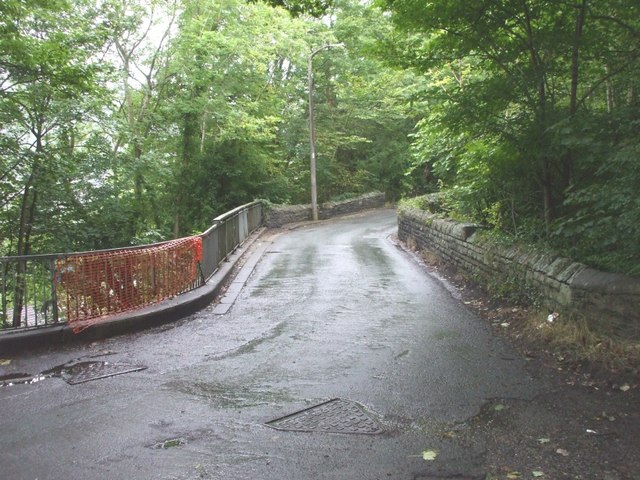
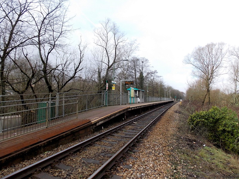
Abercwmboi Images
Images are sourced within 2km of 51.688101/-3.415797 or Grid Reference ST0299. Thanks to Geograph Open Source API. All images are credited.


Abercwmboi is located at Grid Ref: ST0299 (Lat: 51.688101, Lng: -3.415797)
Unitary Authority: Rhondda Cynon Taf
Police Authority: South Wales
What 3 Words
///losses.monday.dumplings. Near Cwmbach, Rhondda Cynon Taf
Nearby Locations
Related Wikis

Abercwmboi
Abercwmboi is a village in the Welsh county borough of Rhondda Cynon Taf in Wales, United Kingdom. == Location == Abercwmboi is one of the last remaining...
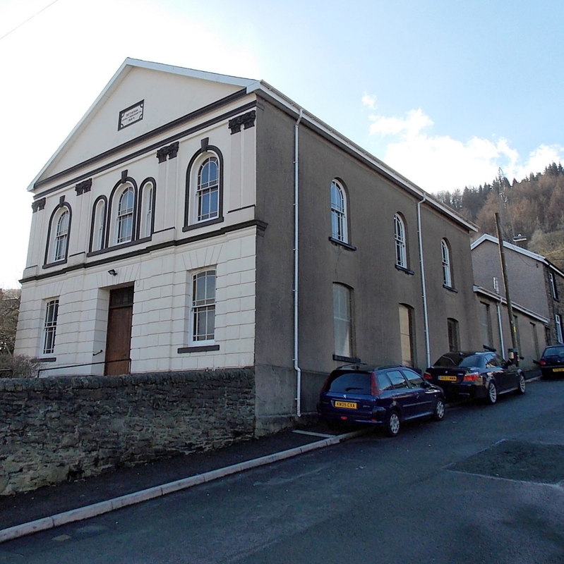
Bethesda Chapel, Abercwmboi
Bethesda, Abercwmboi is a Welsh Baptist church in Abercwmboi near Aberdare, South Wales. Services continue to be held in the Welsh language. == Early... ==
Fernhill, Rhondda Cynon Taf
Fernhill is a village near Mountain Ash in Rhondda Cynon Taf, Wales. The village is served by Fernhill railway station on the Merthyr Line - Aberdare branch...

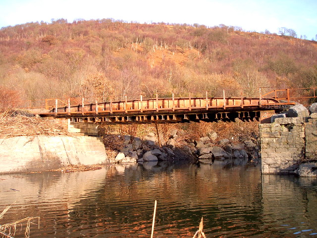
Cwmaman Crossing Halt railway station
Cwmaman Crossing Halt railway station served the village of Cwmaman, in the historical county of Glamorganshire, Wales, from 1906 to 1932 on the Vale of...
Abercwmboi Halt railway station
Abercwmboi Halt railway station served the village of Abercwmboi in historic Glamorganshire, Wales. Opened as Duffryn Crossing Platform by the Taff Vale...
Cwmaman Colliery Halt railway station
Cwmaman Colliery Halt railway station served the village of Cwmaman, in the historical county of Glamorganshire, Wales, from 1906 to 1932 on the Vale of...

Cwmaman
Cwmaman (Welsh pronunciation: [kʊmˈaman]) is a former coal mining village near Aberdare, Wales. The name is Welsh for "Aman Valley", literally: Valley...
Godreaman Halt railway station
Godreaman Halt railway station served the suburb of Godreaman, in the historical county of Glamorganshire, Wales, from 1906 to 1932 on the Vale of Neath...
Nearby Amenities
Located within 500m of 51.688101,-3.415797Have you been to Abercwmboi?
Leave your review of Abercwmboi below (or comments, questions and feedback).