Nineteen Acre Plantation

Wood, Forest in Somerset South Somerset

England

Nineteen Acre Plantation

The Half Moon Inn
The Half Moon Inn Credit: David Lally

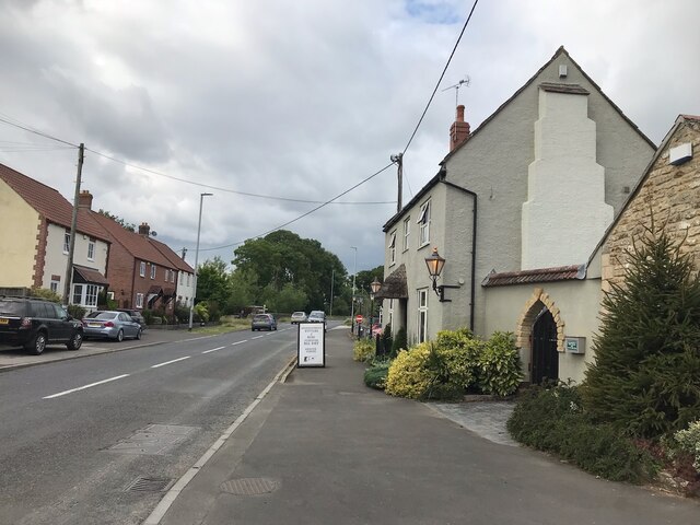
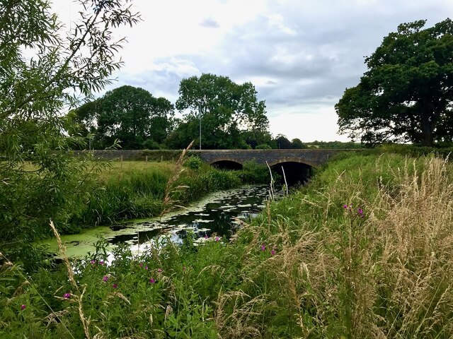
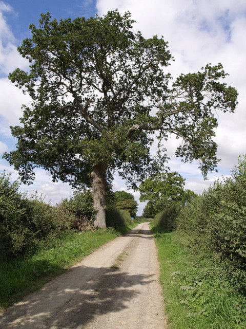
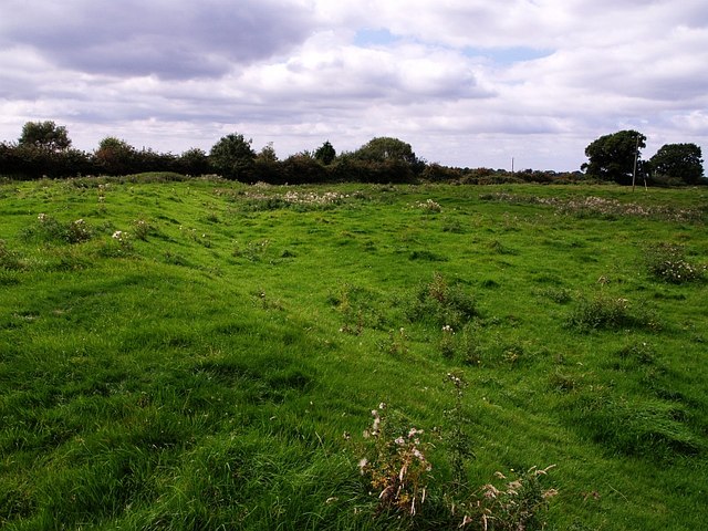
Nineteen Acre Plantation, located in Somerset, is a stunning wood forest spanning approximately 19 acres of land. Nestled in the heart of the English countryside, this plantation offers a serene and picturesque setting for nature lovers and outdoor enthusiasts alike.

The plantation is home to a diverse range of flora and fauna, with ancient oak and beech trees dominating the landscape. These majestic trees provide a dense canopy, creating a cool and shaded environment perfect for leisurely strolls or picnics. The forest floor is adorned with a carpet of bluebells during the spring, adding a vibrant burst of color to the surroundings.

Walking trails wind through the plantation, allowing visitors to explore and appreciate the natural beauty at their own pace. It is not uncommon to spot wildlife such as deer, squirrels, and a variety of bird species during these walks. The tranquil atmosphere and peaceful ambiance make Nineteen Acre Plantation an ideal spot for birdwatching and wildlife photography.

The plantation is well-maintained, with efforts made to preserve the natural ecosystem. It is a designated Site of Special Scientific Interest (SSSI), recognizing its ecological importance and unique biodiversity. As a result, certain areas may be restricted to protect sensitive habitats and endangered species.

Whether one seeks solace in nature, wishes to engage in outdoor activities, or simply wants to immerse themselves in the beauty of the English countryside, Nineteen Acre Plantation offers a truly enchanting experience.

If you have any feedback on the listing, please let us know in the comments section below.

Nineteen Acre Plantation Images

Images are sourced within 2km of 50.989558/-2.6033075 or Grid Reference ST5721. Thanks to Geograph Open Source API. All images are credited.

The Half Moon Inn
The Half Moon Inn
The sign of The Half Moon Inn See <a href="https://www.geograph.org.uk/photo/7272555">ST5719 : The Half Moon Inn</a>.  A bit different from the early 1980s <a href="https://www.geograph.org.uk/photo/4569903">ST5719 : The Half Moon Inn in Mudford</a>.
The sign of The Half Moon Inn
See ST5719 : The Half Moon Inn. A bit different from the early 1980s ST5719 : The Half Moon Inn in Mudford.
Mudford Bridge Looking upstream over the river.
Mudford Bridge
Looking upstream over the river.
The A359 in Mudford With a "defibrillatored" phone box.
The A359 in Mudford
With a "defibrillatored" phone box.
Wickham Farmhouse - Marston Magna Grade II listed farmhouse, C17, with modifications.
Wickham Farmhouse - Marston Magna
Grade II listed farmhouse, C17, with modifications.
Church of the Blessed Virgin Mary - Marston Magna The church contains traces of Saxon herringbone work and has a Norman font.
Church of the Blessed Virgin Mary - Marston Magna
The church contains traces of Saxon herringbone work and has a Norman font.
Marston Magna View is from the junction of the Rimpton road with the A359. The building on the right is the former schoolhouse dated 1800, and is Grade II listed.
Marston Magna
View is from the junction of the Rimpton road with the A359. The building on the right is the former schoolhouse dated 1800, and is Grade II listed.
Hinton Farmhouse - Hinton Grade II listed early C18 farmhouse, substantially altered in the 1860s by Sir Arthur Blomfield for the Goodford family.
Hinton Farmhouse - Hinton
Grade II listed early C18 farmhouse, substantially altered in the 1860s by Sir Arthur Blomfield for the Goodford family.
Higher Farm - Chilton Cantelo Opposite the church is this large farmhouse that is also a B & B. Associated with the house and the church, is the strange story of how a skull of a 17th century man came to reside within. <span class="nowrap"><a title="http://www.ghosts.org.uk/index3117.html" rel="nofollow ugc noopener" href="http://www.ghosts.org.uk/index3117.html">Link</a><img style="margin-left:2px;" alt="External link" title="External link - shift click to open in new window" src="https://s1.geograph.org.uk/img/external.png" width="10" height="10"/></span>
The house is early C18, and was remodelled in 1826, with the date recorded on a plaque over the west entrance. Grade II listed.
Higher Farm - Chilton Cantelo
Opposite the church is this large farmhouse that is also a B & B. Associated with the house and the church, is the strange story of how a skull of a 17th century man came to reside within. LinkExternal link The house is early C18, and was remodelled in 1826, with the date recorded on a plaque over the west entrance. Grade II listed.
The Parish Church of St James - Chilton Cantelo
The Cypress House - Chilton Cantelo Grade II listed former rectory, now a house. Built circa 1850 it is said, as a C19 replacement for the Old Rectory.
The Cypress House - Chilton Cantelo
Grade II listed former rectory, now a house. Built circa 1850 it is said, as a C19 replacement for the Old Rectory.
The Old Farmhouse - West Mudford Grade II listed farmhouse. Early C18.
The Old Farmhouse - West Mudford
Grade II listed farmhouse. Early C18.
Church of St Vincent - Ashington
Church of St Vincent - Ashington (2)
Thorny Lane An old track that runs from Hummer to Marston Magna, past the abandoned village of Nether Adber. Here, not far from Hummer Farm, occasional oaks line it.
Thorny Lane
An old track that runs from Hummer to Marston Magna, past the abandoned village of Nether Adber. Here, not far from Hummer Farm, occasional oaks line it.
Bales near Chilton Cantelo Giant cotton reels out in force in this field southeast of Chilton Cantelo, beside the lane to Marston Magna. The field is crossed by footpath Y5/5, and the photo is taken from its stile beside the lane.
Bales near Chilton Cantelo
Giant cotton reels out in force in this field southeast of Chilton Cantelo, beside the lane to Marston Magna. The field is crossed by footpath Y5/5, and the photo is taken from its stile beside the lane.
Mill Stream The stream flows away from the camera under the lane from Two Elms to West Camel. Taken from footpath Y15/3 which runs beside it from Marston Magna to near Chilton Cantelo.
Mill Stream
The stream flows away from the camera under the lane from Two Elms to West Camel. Taken from footpath Y15/3 which runs beside it from Marston Magna to near Chilton Cantelo.
Deserted medieval village of Nether Adber Contrast has been increased to try to bring out the remains of earthworks in this, the northern field of the two containing most of the site of the village. This field contained the manor.

There is some confusion about the name. Some maps show "Nether Adber", others have "Thorny" as the name of the vanished village. Both existed, but which is this? See <span class="nowrap"><a title="http://webapp1.somerset.gov.uk/her/details.asp?prn=54334" rel="nofollow ugc noopener" href="http://webapp1.somerset.gov.uk/her/details.asp?prn=54334">Link</a><img style="margin-left:2px;" alt="External link" title="External link - shift click to open in new window" src="https://s1.geograph.org.uk/img/external.png" width="10" height="10"/></span> for discussion and description.
Deserted medieval village of Nether Adber
Contrast has been increased to try to bring out the remains of earthworks in this, the northern field of the two containing most of the site of the village. This field contained the manor. There is some confusion about the name. Some maps show "Nether Adber", others have "Thorny" as the name of the vanished village. Both existed, but which is this? See LinkExternal link for discussion and description.
Show me another place!

Nineteen Acre Plantation is located at Grid Ref: ST5721 (Lat: 50.989558, Lng: -2.6033075)

Administrative County: Somerset

District: South Somerset

Police Authority: Avon and Somerset

What 3 Words

///fluctuate.wings.smoking. Near Ilchester, Somerset

Related Wikis

Chilton Cantelo School

Chilton Cantelo School was a small profit-making mixed private school located in the village of Chilton Cantelo (near Yeovil and Sherborne) in Somerset...

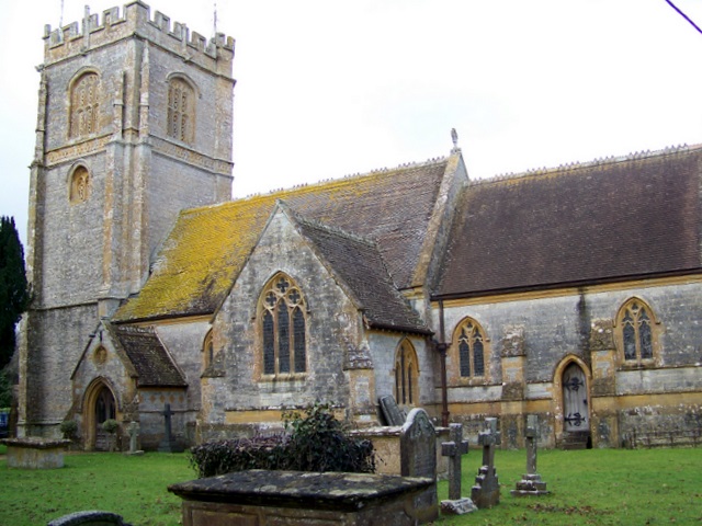
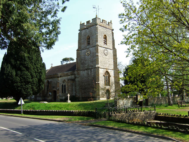
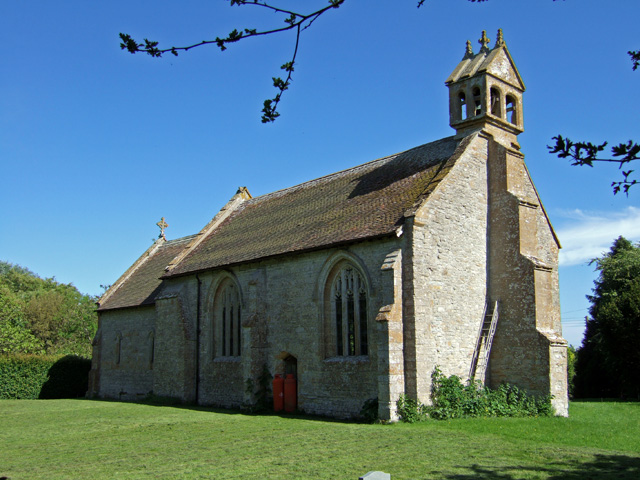
Church of St James, Chilton Cantelo

The Anglican Church of St James in Chilton Cantelo, Somerset, England was built in the 15th century. It is a Grade II* listed building. == History == The...

Chilton Cantelo

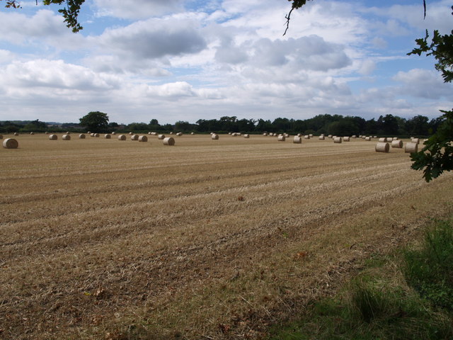
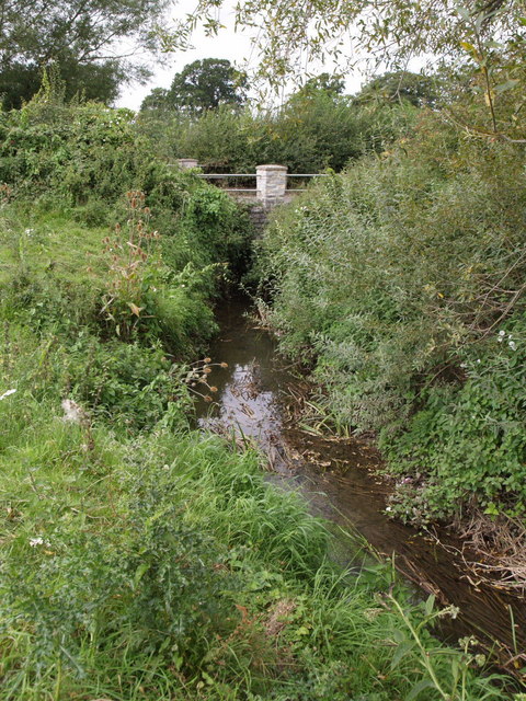
Chilton Cantelo is a village and parish in Somerset, England, situated on the River Yeo 5 miles (8 km) north of Yeovil and 4 miles (6 km) east of Ilchester...

Mudford Manor

Mudford Manor is a historic 17th century Jacobean manor house situated on the Dorset/Somerset border in Mudford, Yeovil. The estate is surrounded by wild...

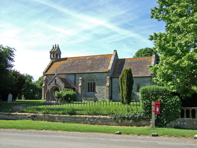
St Mary's Church, Mudford

The Church of St Mary in Mudford, Somerset, England, dates from the 14th century and has been designated as a Grade I listed building.The church was granted...

St Vincent's Church, Ashington

The Anglican Church of St Vincent at Ashington in the civil parish of Chilton Cantelo, Somerset, England, is from the 13th century. It has been designated...

Marston Magna

Marston Magna (also known as Broad or Great Marston) is a village and civil parish in Somerset, England, situated 5 miles (8.0 km) north of Yeovil in the...

Mudford

Mudford is a village and parish in Somerset, England, situated 3 miles (4.8 km) from Yeovil in the South Somerset district on the River Yeo. The village...

Nearby Amenities

Located within 500m of 50.989558,-2.6033075
Power: pole
Lat/Long: 50.9863223/-2.6031083
Power: pole
Lat/Long: 50.98743/-2.6027363
Power: pole
Lat/Long: 50.9885508/-2.6023518
Power: pole
Lat/Long: 50.9898954/-2.6018916
Power: pole
Lat/Long: 50.9910818/-2.6015325
Power: pole
Lat/Long: 50.9923342/-2.6011234
Power: pole
Lat/Long: 50.9922687/-2.6012655
Power: pole
Lat/Long: 50.9924289/-2.6006024
Power: pole
Lat/Long: 50.992364/-2.6005806
Power: pole
Lat/Long: 50.9923218/-2.6015413
Power: pole
Lat/Long: 50.9920159/-2.6027313
Power: pole
Lat/Long: 50.9917071/-2.6039169
Power: pole
Lat/Long: 50.9912926/-2.6054823
Power: pole
Lat/Long: 50.99085/-2.6072141
Power: pole
Lat/Long: 50.9921583/-2.5989933
Power: pole
Lat/Long: 50.99229/-2.6005428
Power: pole
Lat/Long: 50.9914208/-2.5990643
Power: pole
Lat/Long: 50.990648/-2.5976997
Power: pole
Lat/Long: 50.9899736/-2.5965436
The data included in this document is from www.openstreetmap.org. The data is made available under ODbL.

Have you been to Nineteen Acre Plantation?

Leave your review of Nineteen Acre Plantation below (or comments, questions and feedback).