Boilton Wood
Wood, Forest in Lancashire Preston
England
Boilton Wood

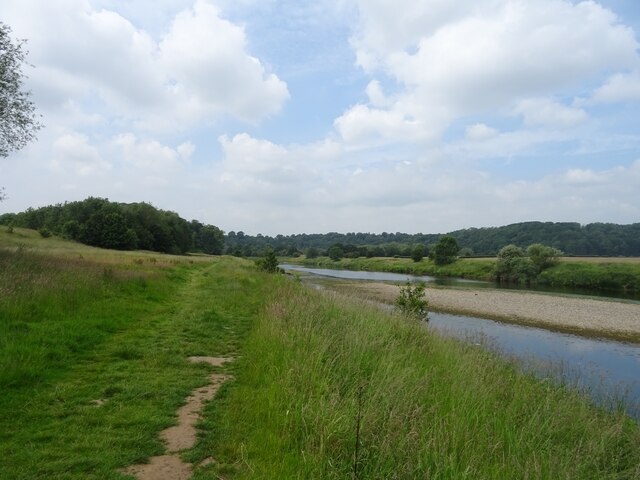
Boilton Wood is a picturesque forest located in Lancashire, England. Spanning over a vast area, this wood is known for its lush greenery and diverse wildlife. It is a popular destination for nature enthusiasts and visitors seeking tranquility.
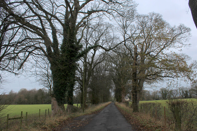
The wood is dominated by a variety of tree species, including oak, birch, and beech, which create a dense canopy overhead. This creates a serene atmosphere and provides ample shade during the summer months. The forest floor is covered in a thick layer of moss, creating a soft carpet-like feel underfoot.
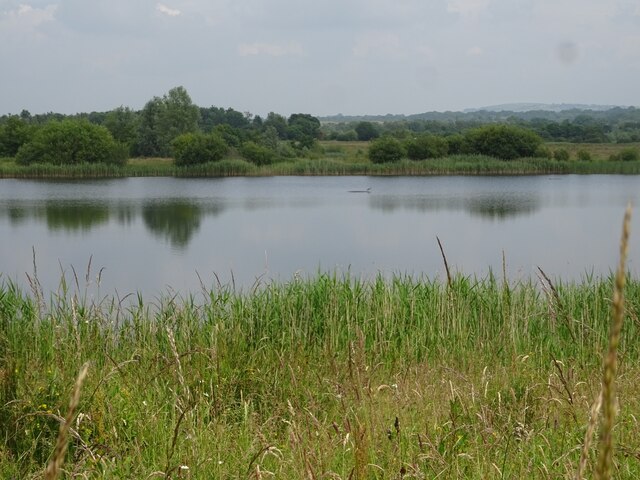
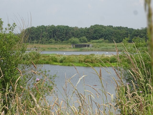
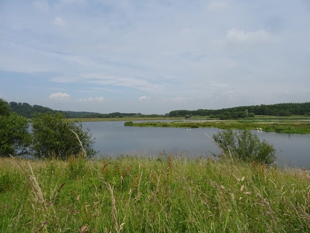
Boilton Wood is home to a wide range of wildlife, making it a haven for animal lovers. Visitors may spot various bird species like woodpeckers, owls, and songbirds. Squirrels scamper through the trees, while rabbits and foxes can be seen darting through the undergrowth. On occasion, lucky visitors may even catch a glimpse of a deer or badger.
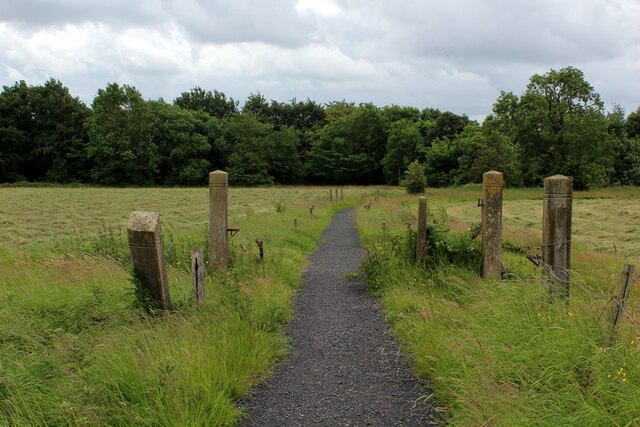
There are several walking trails that wind their way through Boilton Wood, allowing visitors to explore the area at their own pace. These paths take visitors through various parts of the forest, each offering unique sights and sounds. Along the trails, visitors may come across babbling brooks and small ponds, adding to the enchanting atmosphere.
Overall, Boilton Wood is a stunning natural gem in Lancashire, offering visitors a chance to immerse themselves in the beauty of the countryside. Whether it's a leisurely stroll, birdwatching, or simply enjoying the tranquility, this wood has something for everyone.
If you have any feedback on the listing, please let us know in the comments section below.
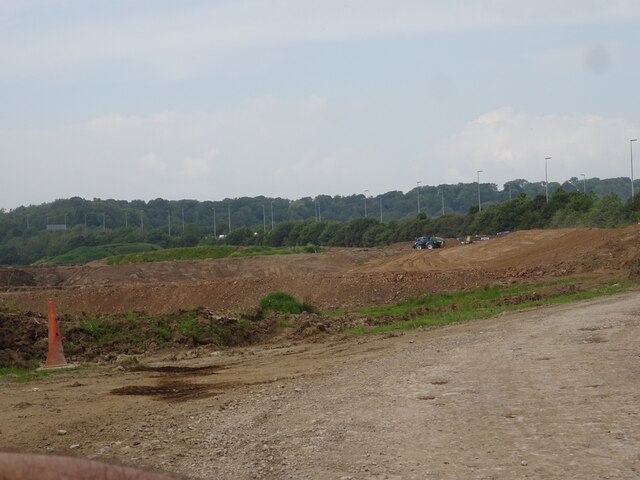
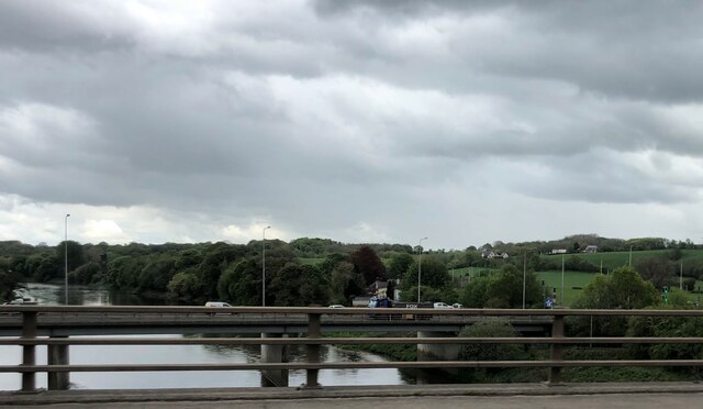
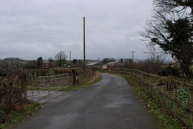
Boilton Wood Images
Images are sourced within 2km of 53.774157/-2.64334 or Grid Reference SD5731. Thanks to Geograph Open Source API. All images are credited.


Boilton Wood is located at Grid Ref: SD5731 (Lat: 53.774157, Lng: -2.64334)
Administrative County: Lancashire
District: Preston
Police Authority: Lancashire
What 3 Words
///sugars.label.cove. Near Preston, Lancashire
Nearby Locations
Related Wikis

Ribbleton
Ribbleton is a suburb and ward of the city of Preston, Lancashire, England. It is located to the east of the city centre, between the A59 New Hall Lane...

Brockholes (nature reserve)
Brockholes is a nature reserve near Preston, Lancashire, England, just off Junction 31 of the M6 motorway. It is owned by the Wildlife Trust for Lancashire...

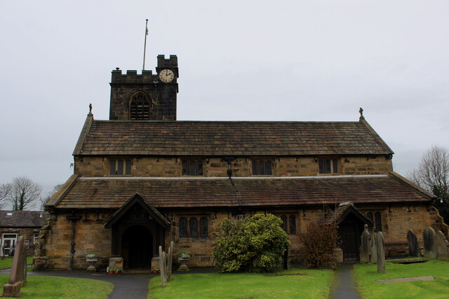
St Mary Magdalene's Church, Ribbleton
St Mary Magdalene's Church is in Ribbleton Avenue, Ribbleton, Preston, Lancashire, England. It is an active Anglican parish church in the deanery of Preston...

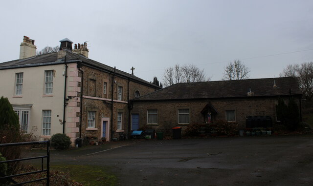
Courtaulds Red Scar Works Preston
Red Scar Works was built in 1939 by Courtaulds and produced rayon. It was located in Ribbleton Preston off Longridge Road. The closure of the works was...
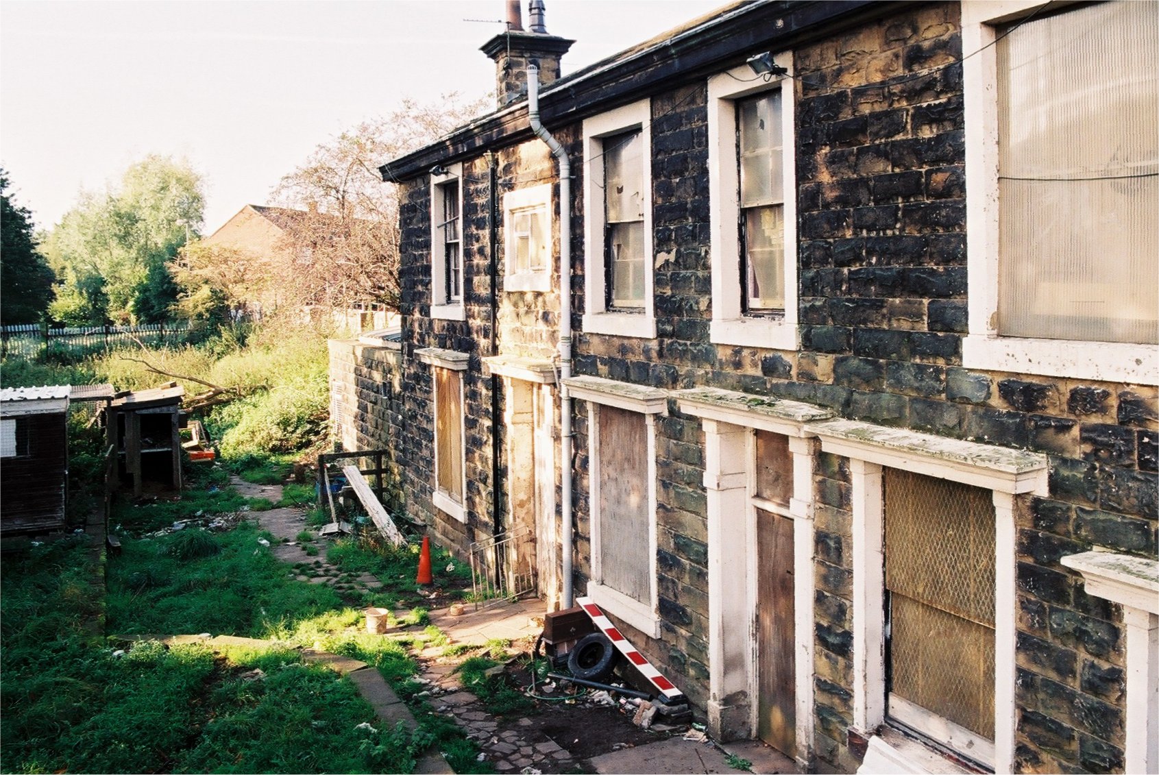
Ribbleton railway station
Ribbleton railway station was on the Preston and Longridge Railway in Ribbleton, a suburb of Preston, Lancashire, England. When the station opened in 1854...

Church of St Leonard the Less, Samlesbury
The Church of St Leonard the Less is an Anglican church in the village of Samlesbury, Lancashire, England, situated close to the banks of the River Ribble...

Samlesbury
Samlesbury ( or locally ) is a village and civil parish in South Ribble, Lancashire, England. Samlesbury Hall, a historic house, is in the village, as...

Cuerdale Hoard
The Cuerdale Hoard is a hoard of more than 8,600 items, including silver coins, English and Carolingian jewellery, hacksilver and ingots. It was discovered...
Nearby Amenities
Located within 500m of 53.774157,-2.64334Have you been to Boilton Wood?
Leave your review of Boilton Wood below (or comments, questions and feedback).