Bet Wood
Wood, Forest in Westmorland South Lakeland
England
Bet Wood

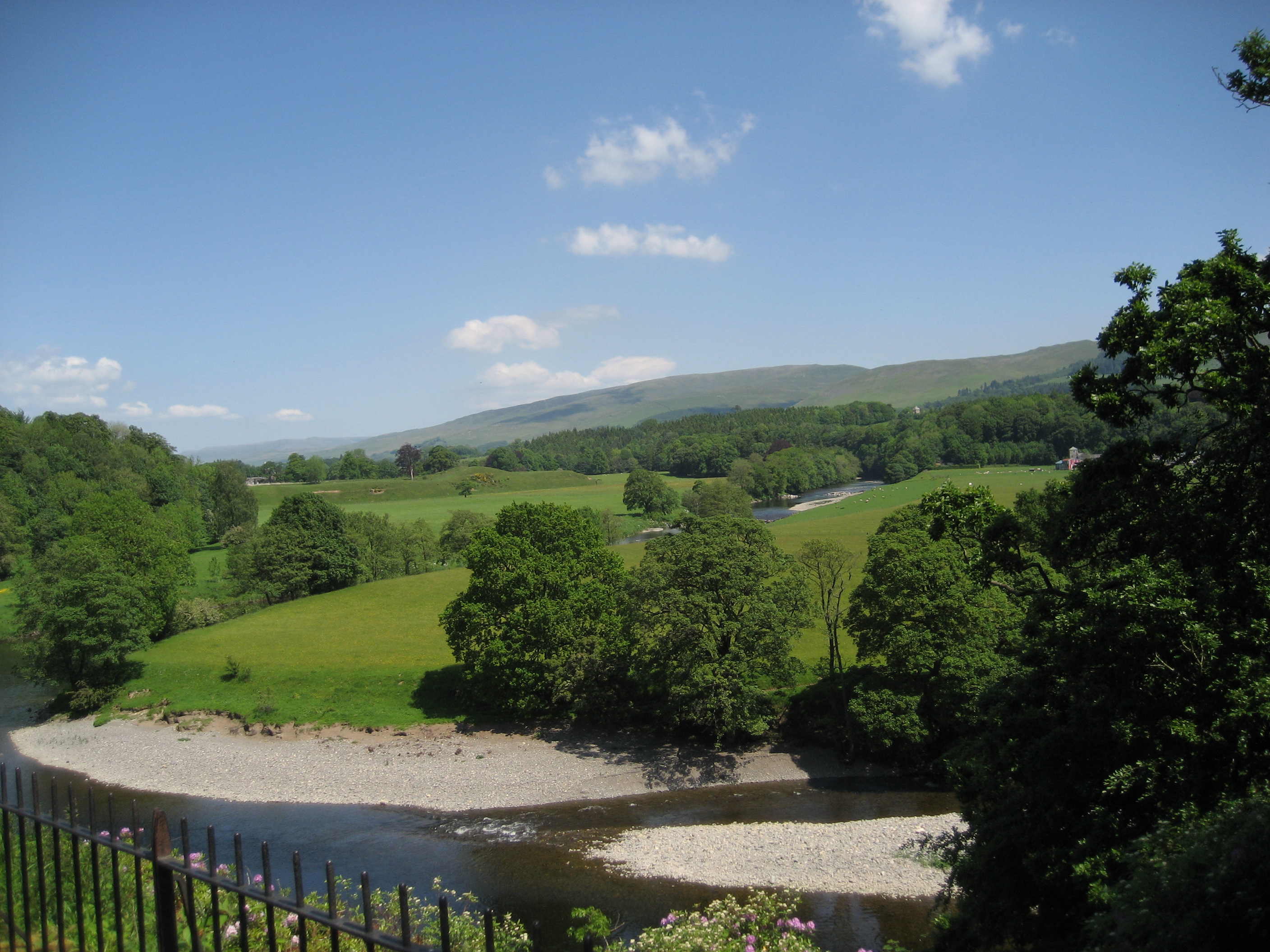
Bet Wood is a small village located in the county of Westmorland, England. Situated in the heart of the Lake District National Park, it is known for its picturesque surroundings and natural beauty. The village is nestled within a dense forest, which gives it its name, and is surrounded by rolling hills and stunning landscapes.
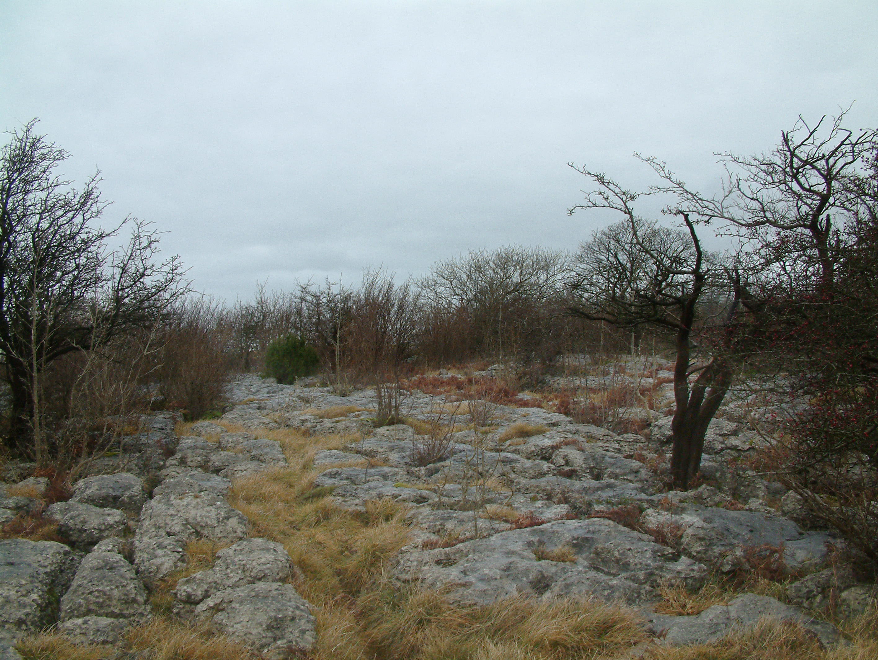
Bet Wood is a popular destination for nature lovers and outdoor enthusiasts. The forest offers a multitude of walking trails, allowing visitors to explore the area and discover its hidden gems. The wood is home to a variety of flora and fauna, including ancient oak trees, wildflowers, and a rich diversity of bird species.
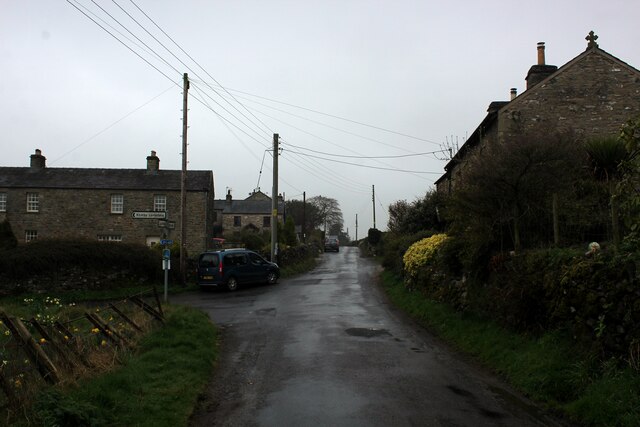
In addition to its natural attractions, Bet Wood has a rich history dating back centuries. The village itself has a small population, with traditional stone cottages and farmhouses scattered throughout. It exudes a quaint and peaceful atmosphere, making it an ideal retreat for those seeking tranquility and a break from the bustling city life.
Despite its remote location, Bet Wood is well connected to nearby towns and cities. The village is easily accessible by road, and there are regular bus services that connect it to the surrounding areas. Nearby amenities include shops, pubs, and restaurants, ensuring that residents and visitors have all they need for a comfortable stay.
Overall, Bet Wood is a hidden gem within the Lake District, offering a perfect blend of natural beauty, history, and tranquility. It is a place where visitors can immerse themselves in the stunning landscapes, explore the forest trails, and experience the charm of rural England.
If you have any feedback on the listing, please let us know in the comments section below.
Bet Wood Images
Images are sourced within 2km of 54.210726/-2.6510892 or Grid Reference SD5779. Thanks to Geograph Open Source API. All images are credited.


Bet Wood is located at Grid Ref: SD5779 (Lat: 54.210726, Lng: -2.6510892)
Administrative County: Cumbria
District: South Lakeland
Police Authority: Cumbria
What 3 Words
///gong.farm.rope. Near Kirkby Lonsdale, Cumbria
Nearby Locations
Related Wikis
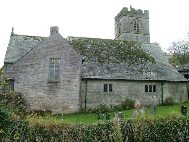
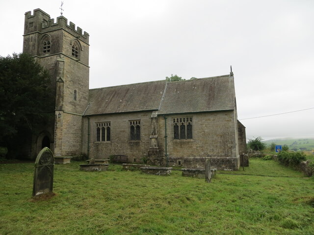
St John's Church, Hutton Roof
St John's Church is in the village of Hutton Roof, Cumbria, England. It is an active Anglican parish church in the deanery of Kendal, the archdeaconry...
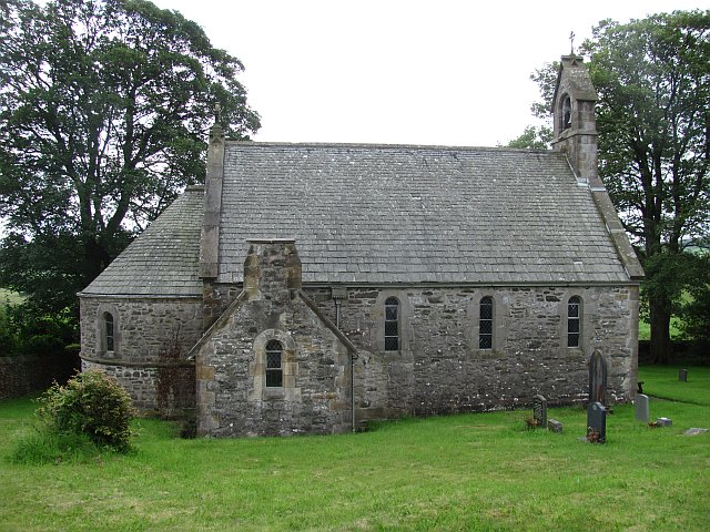
All Saints Church, Lupton
All Saints Church is in the village of Lupton, Cumbria, England. It is an active Anglican parish church in the deanery of Kendal, the archdeaconry of...

Hutton Roof, South Lakeland
Hutton Roof is a village and civil parish in the South Lakeland district of Cumbria, England, close to Kirkby Lonsdale and Hutton Roof Crags. Historically...
Lupton, Cumbria
Lupton is a linear village and civil parish in the South Lakeland district of Cumbria, England, along the main A65 road north west of Kirkby Lonsdale,...
Hutton Roof Crags
Hutton Roof Crags is a hill in south-eastern Cumbria in north-west England, located near to the village of Hutton Roof. It has extensive areas of limestone...

Queen Elizabeth School, Kirkby Lonsdale
Queen Elizabeth School, also abbreviated to as QES, is a coeducational, comprehensive secondary school and sixth form with academy status. It is located...

St Mary's Church, Kirkby Lonsdale
St Mary's Church is in the town of Kirkby Lonsdale, Cumbria, England. It is an active Anglican parish church in the deanery of Kendal, the archdeaconry...
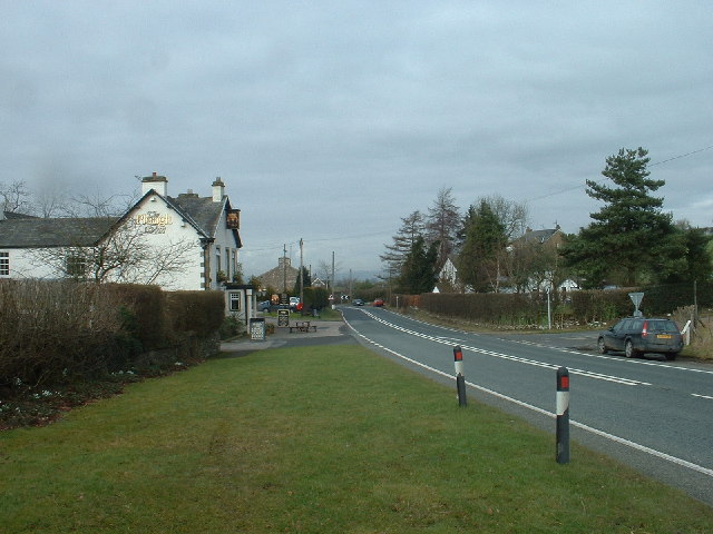
Kirkby Lonsdale
Kirkby Lonsdale () is a town and civil parish in the Westmorland and Furness district of Cumbria, England, on the River Lune. Historically in Westmorland...
Nearby Amenities
Located within 500m of 54.210726,-2.6510892Have you been to Bet Wood?
Leave your review of Bet Wood below (or comments, questions and feedback).