Cow Hill Wood

Wood, Forest in Lancashire Preston

England

Cow Hill Wood

B6243 crossing M6
B6243 crossing M6 Credit: Alpin Stewart

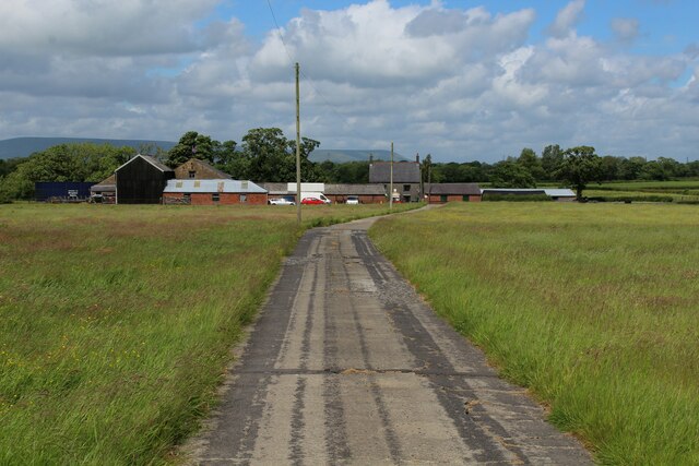
Cow Hill Wood is a picturesque woodland located in the county of Lancashire, England. Covering an area of approximately 30 hectares, it is nestled within the rural setting of the Forest of Bowland, an Area of Outstanding Natural Beauty.

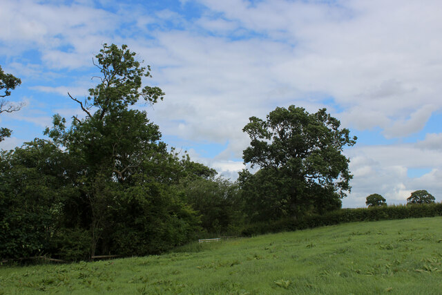
The wood is primarily composed of native broadleaf species, including oak, birch, and beech trees, which form a dense canopy overhead. This creates a shaded and serene environment, perfect for leisurely walks and exploration. The forest floor is adorned with a variety of woodland flora, such as bluebells, wood anemones, and wild garlic, which bloom in abundance during the spring season.

Cow Hill Wood is home to a diverse range of wildlife, making it a haven for nature enthusiasts. Visitors may spot resident bird species, including woodpeckers, nuthatches, and tawny owls, among others. The wood is also known to support a healthy population of deer, squirrels, and foxes.

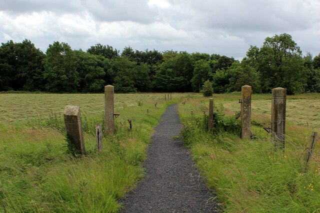
The wood is intersected by several well-marked footpaths, allowing visitors to navigate through its enchanting trails. These paths provide access to stunning viewpoints, offering panoramic vistas of the surrounding countryside and the nearby River Hodder.

Cow Hill Wood is a popular destination for outdoor activities, such as hiking, birdwatching, and photography. With its tranquil atmosphere and natural beauty, it provides a welcome escape from the hustle and bustle of everyday life, making it an ideal destination for nature lovers and those seeking a peaceful retreat.

If you have any feedback on the listing, please let us know in the comments section below.

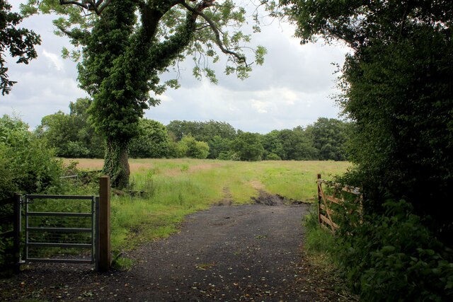
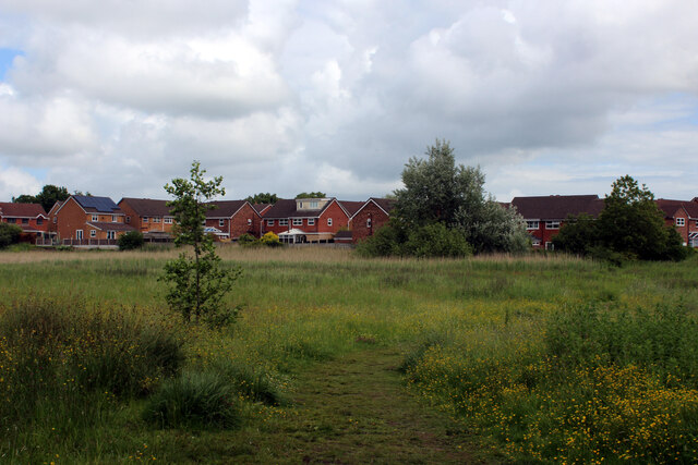
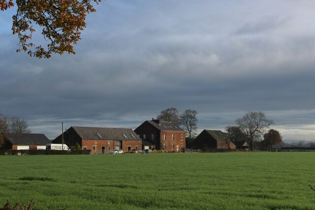
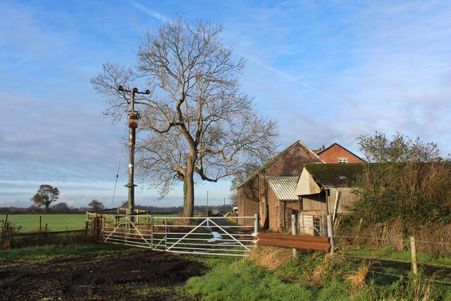
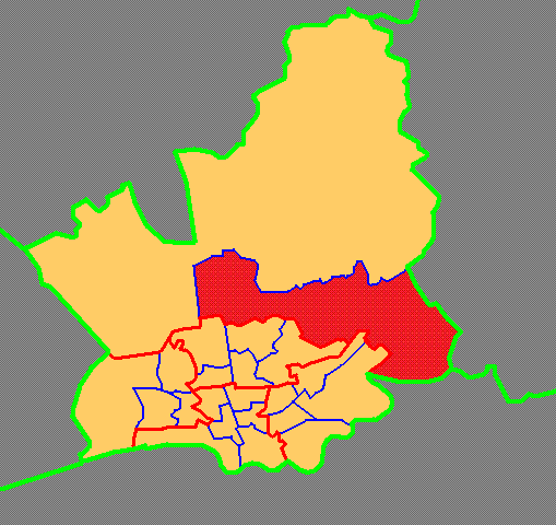
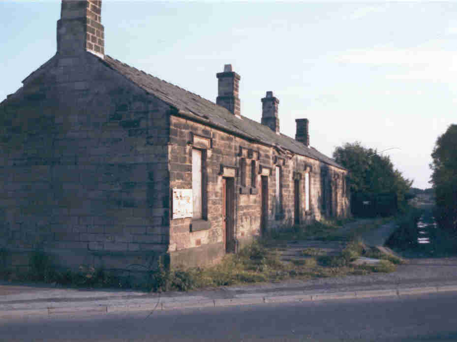
Cow Hill Wood Images

Images are sourced within 2km of 53.800965/-2.6456787 or Grid Reference SD5734. Thanks to Geograph Open Source API. All images are credited.

B6243 crossing M6
B6243 crossing M6
Junction 31a - northbound M6
Ribble Way approaching Red Scar Wood Hard surface path takes the long distance footpath to Red Scar Woods, which then follows the edge of the trees.
The woods conceal very steep banks that slide down to the River Ribble far below.
Ribble Way approaching Red Scar Wood
Hard surface path takes the long distance footpath to Red Scar Woods, which then follows the edge of the trees. The woods conceal very steep banks that slide down to the River Ribble far below.
Ribble Way near Roman Road Farm The long distance farm takes a sharp right here, before heading towards Red Scar Woods
Ribble Way near Roman Road Farm
The long distance farm takes a sharp right here, before heading towards Red Scar Woods
Cycle Route on the Former Preston/Longridge Railway Closed to passenger traffic in 1930 and freight in 1967.
Now converted to leisure use.
Cycle Route on the Former Preston/Longridge Railway
Closed to passenger traffic in 1930 and freight in 1967. Now converted to leisure use.
Lorry Park in Red Scar Belonging to MM Acquisitions - specialists in the sale of used commercial vehicles.
Lorry Park in Red Scar
Belonging to MM Acquisitions - specialists in the sale of used commercial vehicles.
Approaching "The Hills" Housing Estate Crossing a patch of rough ground between the housing estate and the disused Longridge/Preston railway line
Approaching "The Hills" Housing Estate
Crossing a patch of rough ground between the housing estate and the disused Longridge/Preston railway line
Patch of Rough Ground, Red Scar Footpath approaching the former railway between Longridge and Preston, concealed by a line of trees
Patch of Rough Ground, Red Scar
Footpath approaching the former railway between Longridge and Preston, concealed by a line of trees
St. Michael's Church, Grimsargh Grade II Listed Building located at the southern end of the village
St. Michael's Church, Grimsargh
Grade II Listed Building located at the southern end of the village
Approaching Dixon's Farm Following an access lane from the village of Grimsargh
Approaching Dixon's Farm
Following an access lane from the village of Grimsargh
The Recreation Ground, Grimsargh In effect this is a very large village green maintained by Preston Council, although heavily reliant on local volunteers.
The Recreation Ground, Grimsargh
In effect this is a very large village green maintained by Preston Council, although heavily reliant on local volunteers.
On a Footpath between Grimsargh and Longridge The course of the path is buried beneath long grass, although a gap in the approaching hedge indicates the correct direction of travel
On a Footpath between Grimsargh and Longridge
The course of the path is buried beneath long grass, although a gap in the approaching hedge indicates the correct direction of travel
St Michael, Grimsargh
Cow Hill Early morning mist shrouds the scene at Cow Hill
Cow Hill
Early morning mist shrouds the scene at Cow Hill
Pasture North West of Grimsargh Looking across countryside towards the distant Bowland Fells
Pasture North West of Grimsargh
Looking across countryside towards the distant Bowland Fells
Clock House Farm (1) Farming operation on the outskirts of Preston, within hearing distance of the M6
Clock House Farm (1)
Farming operation on the outskirts of Preston, within hearing distance of the M6
Clock House Farm (2) Farming operation on the outskirts of Preston, within hearing distance of the M6
Clock House Farm (2)
Farming operation on the outskirts of Preston, within hearing distance of the M6
Footpath between Cow Hill and Clock House Farm The footpath follows the hedgerow through a series of rain soaked pastures
Footpath between Cow Hill and Clock House Farm
The footpath follows the hedgerow through a series of rain soaked pastures
Show me another place!

Cow Hill Wood is located at Grid Ref: SD5734 (Lat: 53.800965, Lng: -2.6456787)

Administrative County: Lancashire

District: Preston

Police Authority: Lancashire

What 3 Words

///skid.walls.treatment. Near Goosnargh, Lancashire

Nearby Locations

Cow Hill Wood

Related Wikis

Preston Rural East

Preston Rural East is an electoral ward in the City of Preston, Lancashire, England. The ward is in the eastern and northeastern part of the city near...

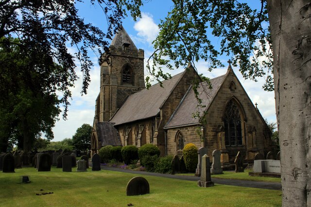
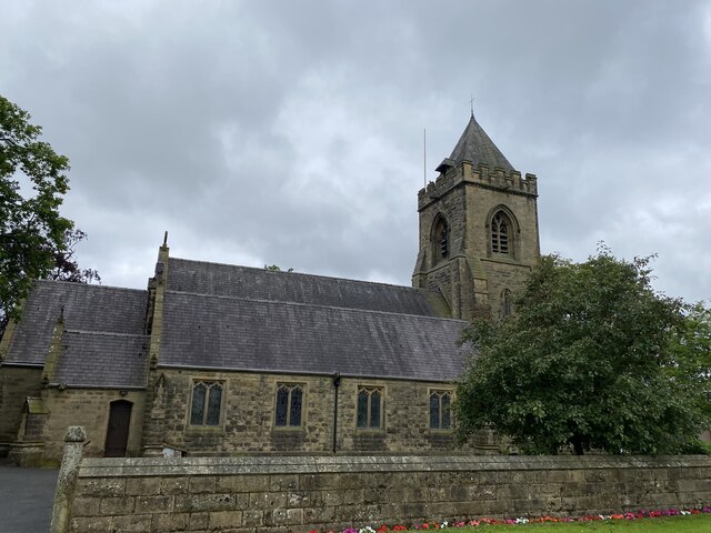
St Michael's Church, Grimsargh

St Michael's Church is in the village of Grimsargh, Lancashire, England. It is an active Anglican parish church in the deanery of Grimsargh, the archdeaconry...

Grimsargh railway station

Grimsargh railway station was on the single track Preston and Longridge Railway. It served the village of Grimsargh in Lancashire, England. When the line...

Grimsargh

Grimsargh is a village and civil parish in the City of Preston, Lancashire, England. located 6 miles (10 km) east of Preston. == History == The name Grimsargh...

Haighton

Haighton is a civil parish in the City of Preston, Lancashire, England. It is a rural area north east of the urban city of Preston, beyond Fulwood and...

Whittingham Hospital Railway

The Whittingham Hospital Railway (W.H.R.) was a private light railway operated by Lancashire County Council to serve Whittingham lunatic asylum. Opened...

Courtaulds Red Scar Works Preston

Red Scar Works was built in 1939 by Courtaulds and produced rayon. It was located in Ribbleton Preston off Longridge Road. The closure of the works was...

Whittingham Hospital

Whittingham Hospital was a psychiatric hospital in the parish of Whittingham, near Preston, Lancashire, England. The hospital opened in 1873 as the Fourth...

Nearby Amenities

Located within 500m of 53.800965,-2.6456787
The data included in this document is from www.openstreetmap.org. The data is made available under ODbL.

Have you been to Cow Hill Wood?

Leave your review of Cow Hill Wood below (or comments, questions and feedback).