Binney Bank

Wood, Forest in Cumberland Carlisle

England

Binney Bank

Bridleway towards the Geltsdale Valley
Bridleway towards the Geltsdale Valley Credit: Les Hull

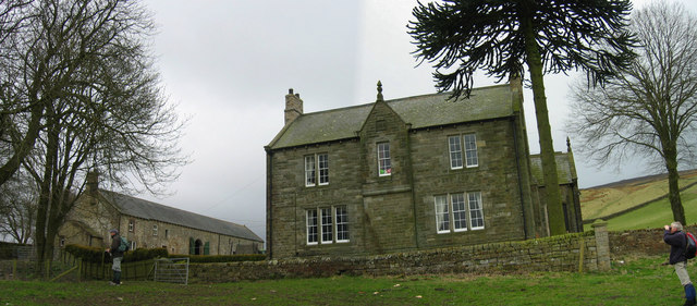
Binney Bank, Cumberland, also known as Wood or Forest, is a small village situated in the county of Cumberland, England. Located in the picturesque countryside, the village is surrounded by lush woodlands and rolling hills, offering a serene and tranquil atmosphere for its residents.

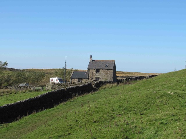
The village of Binney Bank is primarily residential, with a population of approximately 500 people. It is characterized by its charming, traditional cottages made from local stone, giving it a quaint and rustic appeal. The community is close-knit, and residents take pride in maintaining the village's natural beauty and preserving its historical charm.

Despite its small size, Binney Bank offers a range of amenities to its residents. The village has a local primary school, providing education for children up to the age of 11. Additionally, there is a village hall that serves as a gathering place for community events, meetings, and celebrations.

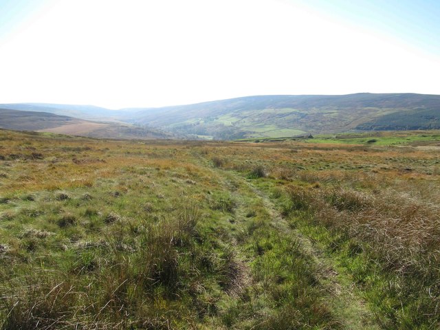
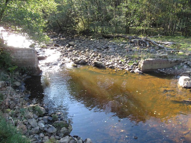
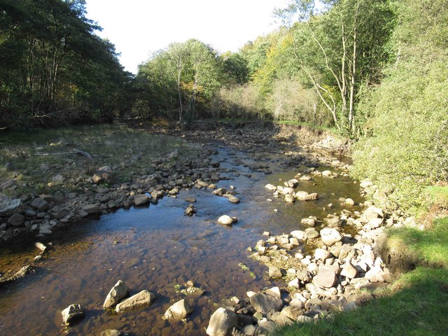
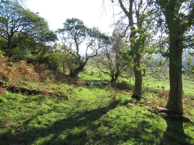
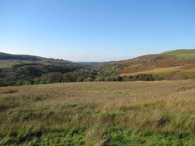
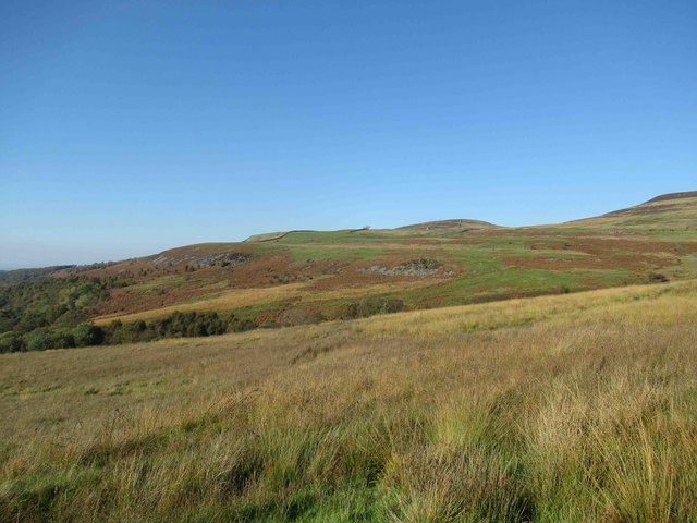
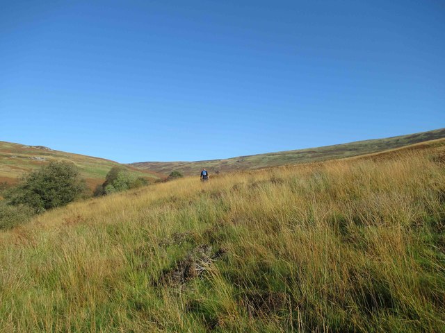
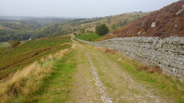
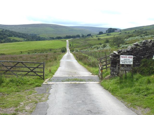
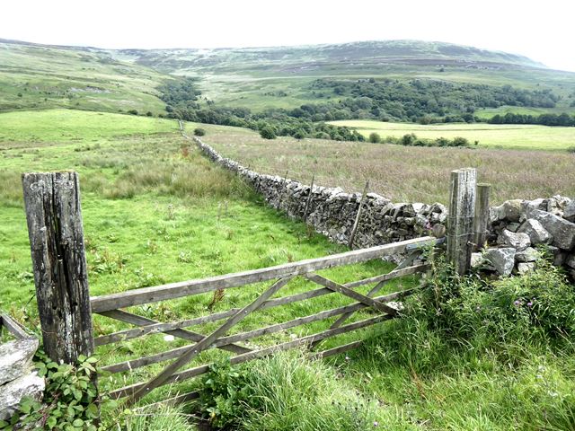
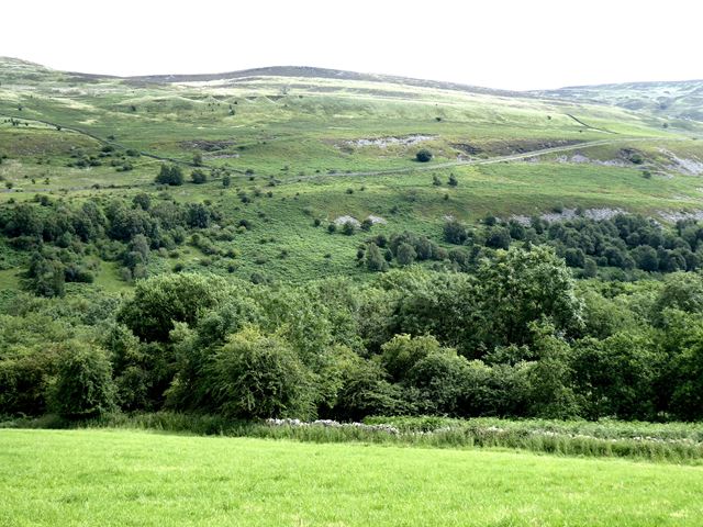
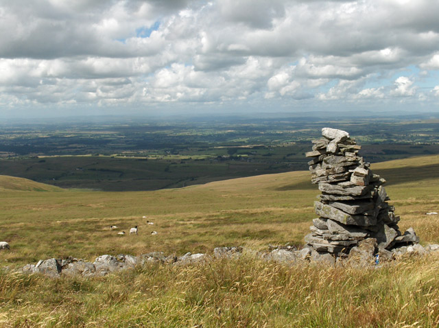
The surrounding woodlands and forests provide ample opportunities for outdoor activities. Residents and visitors can enjoy scenic walks, hiking trails, and cycling routes, immersing themselves in the beauty of nature. The village is also known for its proximity to various nature reserves and wildlife sanctuaries, attracting nature enthusiasts from far and wide.

Overall, Binney Bank, Cumberland (Wood, Forest) offers a peaceful and idyllic lifestyle for its residents, with its natural surroundings and strong sense of community. It is a perfect destination for those seeking a rural retreat away from the hustle and bustle of city life.

If you have any feedback on the listing, please let us know in the comments section below.

Binney Bank Images

Images are sourced within 2km of 54.878465/-2.663917 or Grid Reference NY5753. Thanks to Geograph Open Source API. All images are credited.

Bridleway towards the Geltsdale Valley
The Greens Small farmhouse.
The Greens
Small farmhouse.
River Gelt No idea what the concrete structure was.  Not a weir? Not a fish ladder?
Any ideas?
River Gelt
No idea what the concrete structure was. Not a weir? Not a fish ladder? Any ideas?
River Erosion on the banks of the River Gelt
Footpath through Knotts Wood
View of the Geltsdale Valley
View towards The Greens
Footpath towards Gairs Footpath not very distinct.
Footpath towards Gairs
Footpath not very distinct.
Footpath towards Gairs This was one of the hardest stretches we'd walked for ages.  It was extremely arduous -- uneven ground, tall grass, baking heat, arthritic knee and lagging behind my much younger walking companions.  We stopped stopped for a well earned rest and drink at Gairs before heading towards Howgill.
Footpath towards Gairs
This was one of the hardest stretches we'd walked for ages. It was extremely arduous -- uneven ground, tall grass, baking heat, arthritic knee and lagging behind my much younger walking companions. We stopped stopped for a well earned rest and drink at Gairs before heading towards Howgill.
Bridleway towards High Hynam Bridleway towards High Hynam.
Bridleway towards High Hynam
Bridleway towards High Hynam.
Gairs The disused house at Gairs near the head of How Gill.
Gairs
The disused house at Gairs near the head of How Gill.
End of the public road The tarmac continues to Geltsdale Farm and Cottages.
End of the public road
The tarmac continues to Geltsdale Farm and Cottages.
View over Geltsdale
View over Geltsdale
View over Geltsdale Looking towards Simmerson Fell <a href="https://www.geograph.org.uk/gridref/NY5756">NY5756</a>. Old mine workings can be seen on the hillside.
View over Geltsdale
Looking towards Simmerson Fell NY5756. Old mine workings can be seen on the hillside.
Clear fell woodland above Geltsdale
Gairs This now derelict house was once the home and office of the manager of the nearby mines.
Gairs
This now derelict house was once the home and office of the manager of the nearby mines.
Old Water Bridge Old Water flows into the River Gelt about a mile further on. The structure in the foreground is not an old sheep fold but a dry stone wall built to keep sheep away from a water intake point.
Old Water Bridge
Old Water flows into the River Gelt about a mile further on. The structure in the foreground is not an old sheep fold but a dry stone wall built to keep sheep away from a water intake point.
Hynam Bridge This bridge spans the River Gelt and is the gateway to the low fells to the east of Carlisle.
Hynam Bridge
This bridge spans the River Gelt and is the gateway to the low fells to the east of Carlisle.
Show me another place!

Binney Bank is located at Grid Ref: NY5753 (Lat: 54.878465, Lng: -2.663917)

Administrative County: Cumbria

District: Carlisle

Police Authority: Cumbria

What 3 Words

///cork.taxpayers.deciding. Near Brampton, Cumbria

Nearby Locations

Binney Bank

Related Wikis

Geltsdale

Geltsdale is a hamlet and former civil parish, now in the parish of Castle Carrock, in the Cumberland district, in the ceremonial county of Cumbria, England...

Geltsdale Reservoir railway

The Geltsdale Reservoir railway was a 3 ft (914 mm) narrow gauge industrial railway used during the construction of Castle Carrock Reservoir near Carlisle...

Cold Fell (Pennines)

Cold Fell is a mountain in the northern Pennines, in Cumbria, England. Lying among the northernmost uplands of the North Pennines AONB, it is the most...

Castle Carrock

Castle Carrock is a village and civil parish on the B6413 road, in the Cumberland District, in the English county of Cumbria about 3 miles (4.8 km) south...

Nearby Amenities

Located within 500m of 54.878465,-2.663917
Waterway: dam
Lat/Long: 54.8759251/-2.6596124
Ford: yes
Lat/Long: 54.8764121/-2.6642787
Binney Bank
Place: locality
Lat/Long: 54.8775328/-2.6620737
Barrier: kissing_gate
Lat/Long: 54.8799536/-2.6681077
Barrier: kissing_gate
Lat/Long: 54.8801627/-2.6682094
Power: pole
Lat/Long: 54.8769793/-2.6710063
Power: pole
Lat/Long: 54.8777144/-2.6702465
Power: pole
Lat/Long: 54.8768915/-2.6696583
Power: pole
Lat/Long: 54.8765672/-2.6680765
Power: pole
Lat/Long: 54.8762275/-2.6664701
Power: pole
Lat/Long: 54.8757404/-2.6641486
The data included in this document is from www.openstreetmap.org. The data is made available under ODbL.

Have you been to Binney Bank?

Leave your review of Binney Bank below (or comments, questions and feedback).