Conyer's Green
Settlement in Suffolk West Suffolk
England
Conyer's Green
Conyer's Green is a small, picturesque village located in the county of Suffolk, England. Situated in the Babergh district, it is nestled amidst the beautiful countryside and is known for its tranquil and idyllic setting.
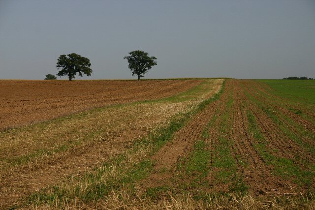
The village is characterized by its charming thatched cottages, which give it a distinct traditional English feel. The architecture is a mix of old and new, with some houses dating back several centuries and others displaying more contemporary designs. The stunning views of the surrounding fields and farmland add to the village's natural beauty.
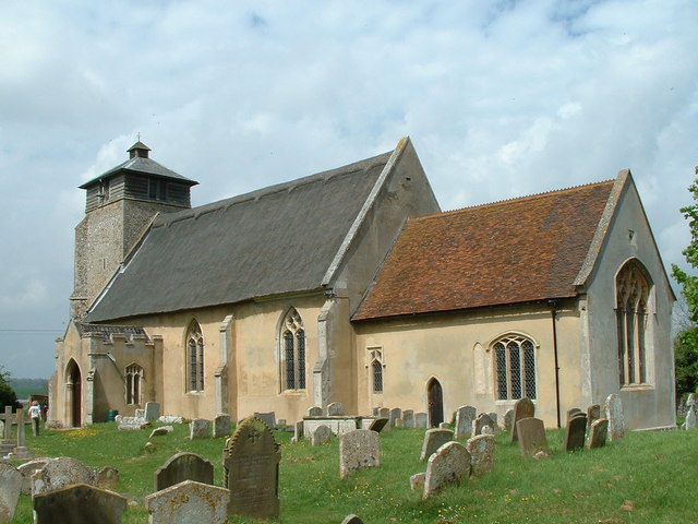
Conyer's Green is a tight-knit community with a friendly and welcoming atmosphere. It has a close relationship with the neighboring villages and towns, often participating in local events and festivals. The village church, St. Mary's, is a focal point for both religious and social gatherings.
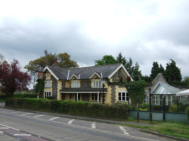
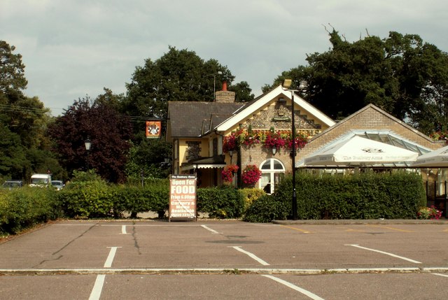
Despite its small size, Conyer's Green offers a range of amenities for its residents. There is a local pub, The Green Inn, where villagers can socialize and enjoy traditional English fare. The village also has a primary school, providing education for the younger population.
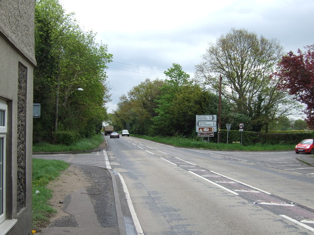
For outdoor enthusiasts, Conyer's Green offers plenty of opportunities to explore the surrounding countryside. The village is located near numerous walking and cycling trails, providing access to the stunning Suffolk landscape. The nearby River Stour is popular for boating and fishing activities.
Overall, Conyer's Green is a charming and peaceful village, offering a serene escape from the hustle and bustle of city life. Its natural beauty, friendly community, and range of amenities make it an attractive place to live or visit.
If you have any feedback on the listing, please let us know in the comments section below.
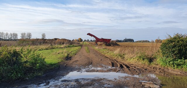
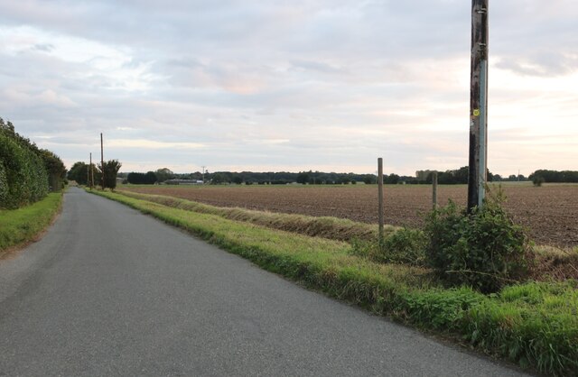
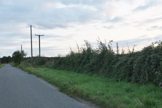
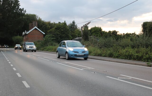
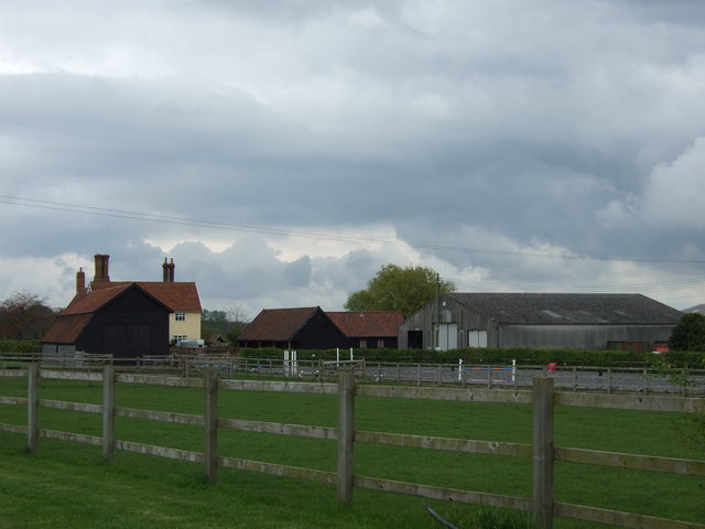
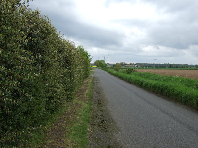
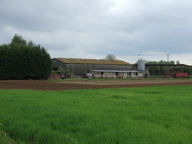
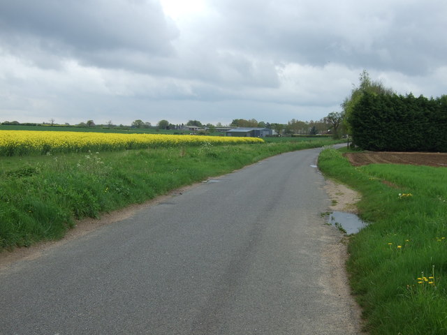
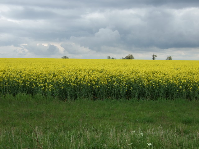
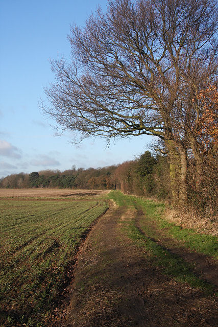
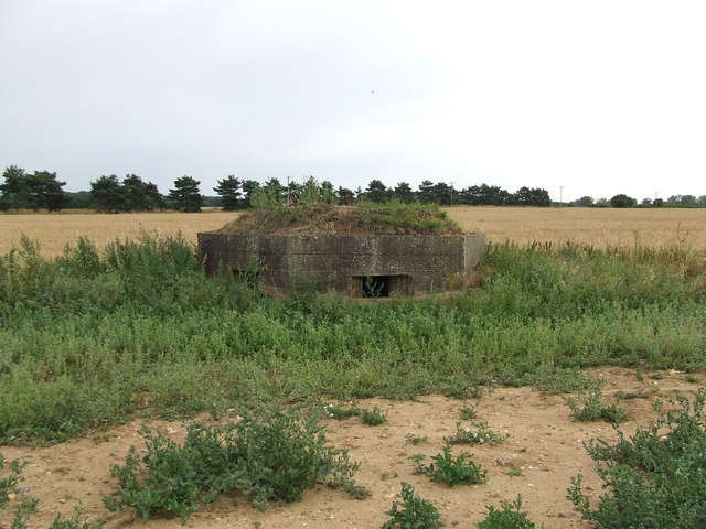
Conyer's Green Images
Images are sourced within 2km of 52.277301/0.76617577 or Grid Reference TL8867. Thanks to Geograph Open Source API. All images are credited.
Conyer's Green is located at Grid Ref: TL8867 (Lat: 52.277301, Lng: 0.76617577)
Administrative County: Suffolk
District: West Suffolk
Police Authority: Suffolk
What 3 Words
///picked.speech.reworked. Near Great Barton, Suffolk
Nearby Locations
Related Wikis

Conyer's Green
Conyer's Green is a village in the civil parish of Great Barton, in the West Suffolk district, in the county of Suffolk, England.

Great Barton
Great Barton is a large village and civil parish in the West Suffolk district of Suffolk, England, about 3 miles (5 km) East of Bury St Edmunds on the...

Timworth
Timworth is a village and civil parish 65 mi (105 km) north east of London and 26 mi (42 km) east of Cambridge in the West Suffolk district of Suffolk...
Great Livermere
Great Livermere is a village and civil parish in the West Suffolk district of Suffolk in eastern England. It is located around four miles north-east of...
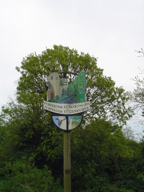
Fornham St Martin
Fornham St Martin is a village and civil parish in the West Suffolk district of Suffolk in eastern England. Located on the northern outskirts of Bury St...

Pakenham, Suffolk
Pakenham is a village and civil parish in the West Suffolk district of Suffolk in eastern England. Its name can be linked to Anglo-Saxon roots, Pacca being...
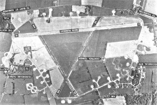
Rougham Airfield
Rougham Airfield, formerly Royal Air Force Bury St Edmunds or more simply RAF Bury St Edmunds is a former Royal Air Force station located 3 miles (4.8...
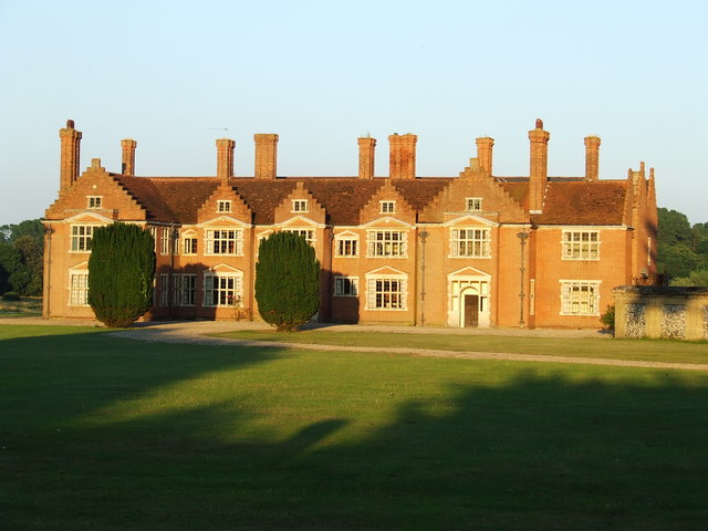
Ampton Hall
Ampton Hall is a Grade II-listed Jacobean style manor house in Ampton, Suffolk, England. Ampton Hall was the birthplace in 1805 of Robert FitzRoy, who...
Nearby Amenities
Located within 500m of 52.277301,0.76617577Have you been to Conyer's Green?
Leave your review of Conyer's Green below (or comments, questions and feedback).