Whinnyshaw Plantation
Wood, Forest in Lancashire Lancaster
England
Whinnyshaw Plantation
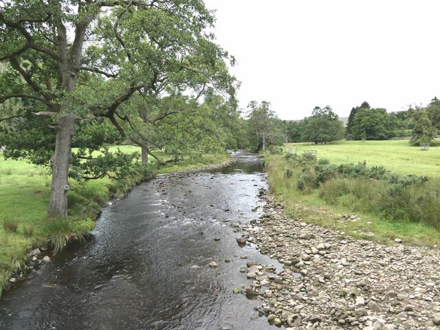
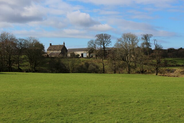
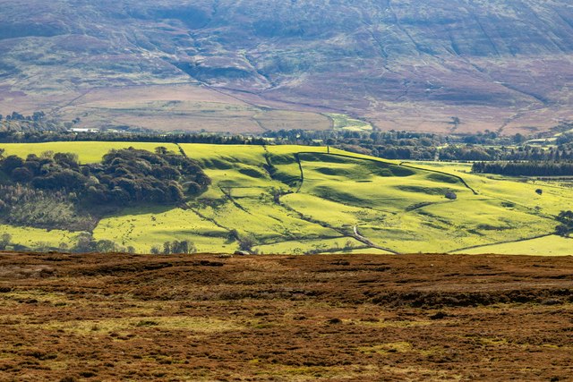
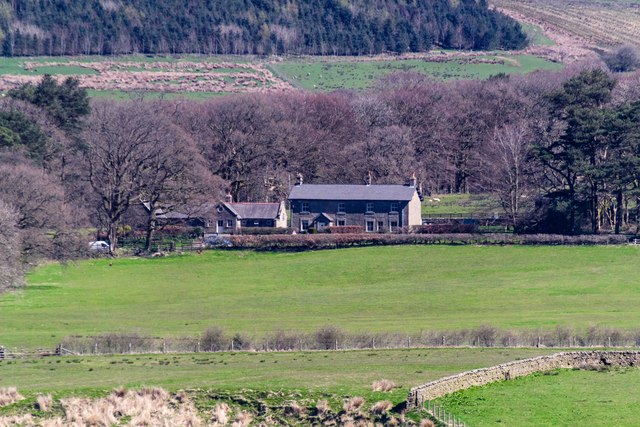
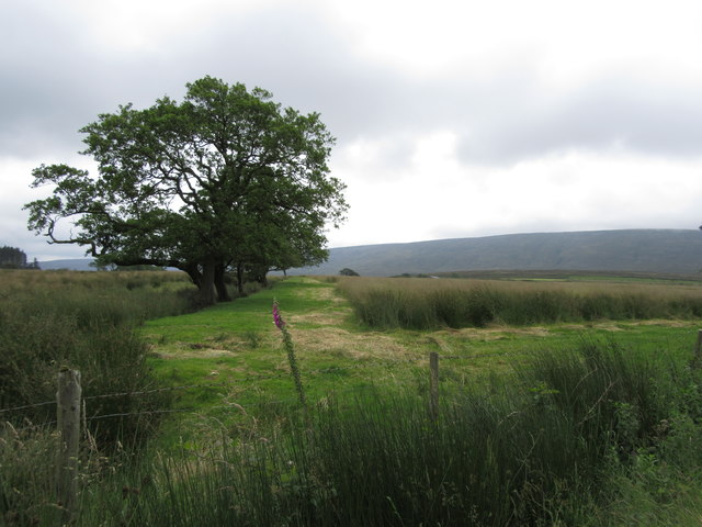
Whinnyshaw Plantation is a picturesque woodland located in the county of Lancashire, England. Situated in the northwestern part of the country, the plantation covers a vast area of lush greenery and is a popular destination for nature enthusiasts and hikers alike.
The plantation features a diverse range of trees, including oak, beech, and birch, creating a dense and thriving forest environment. These trees provide a home to various species of wildlife, such as squirrels, rabbits, and a variety of bird species. The tranquil atmosphere and abundance of flora and fauna make Whinnyshaw Plantation a haven for nature lovers seeking to immerse themselves in the beauty of the natural world.
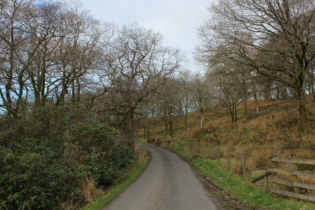
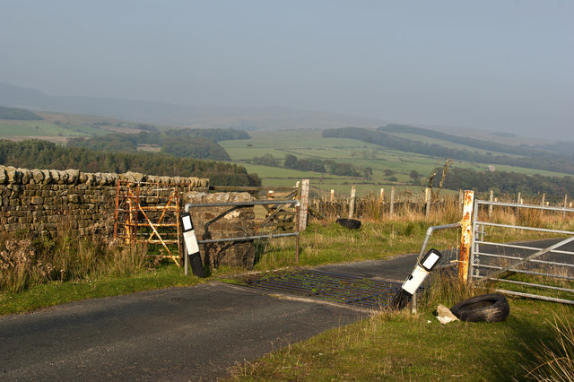
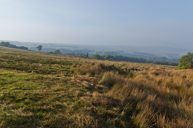
The plantation is crisscrossed by several walking trails, allowing visitors to explore the area at their own pace. These trails wind through the woodland, offering breathtaking views of the surrounding countryside. In the springtime, the forest floor comes alive with a carpet of bluebells, creating a stunning and vibrant display.
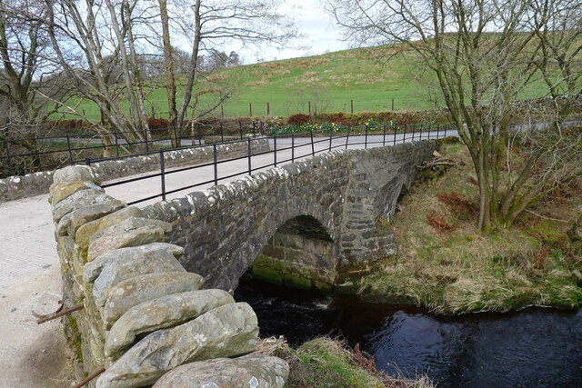
Whinnyshaw Plantation is also known for its historical significance. It has been a part of Lancashire's heritage for centuries, with evidence of human habitation dating back to ancient times. The plantation has witnessed the passage of time and stands as a testament to Lancashire's rich history.
Overall, Whinnyshaw Plantation is a captivating destination for those seeking solace in nature and a glimpse into Lancashire's past. With its enchanting woodland, diverse wildlife, and historical significance, it is a place that offers an unforgettable experience for visitors of all ages.
If you have any feedback on the listing, please let us know in the comments section below.
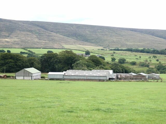
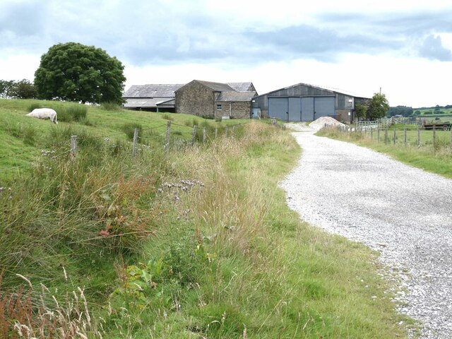
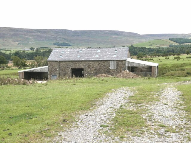
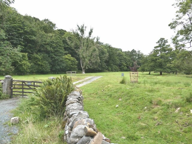
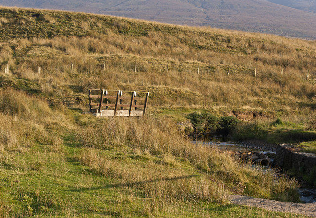
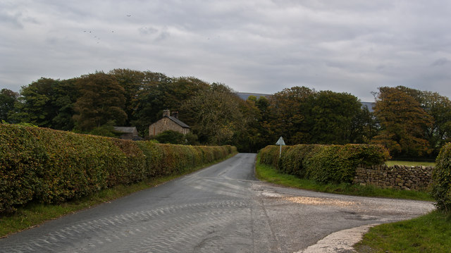
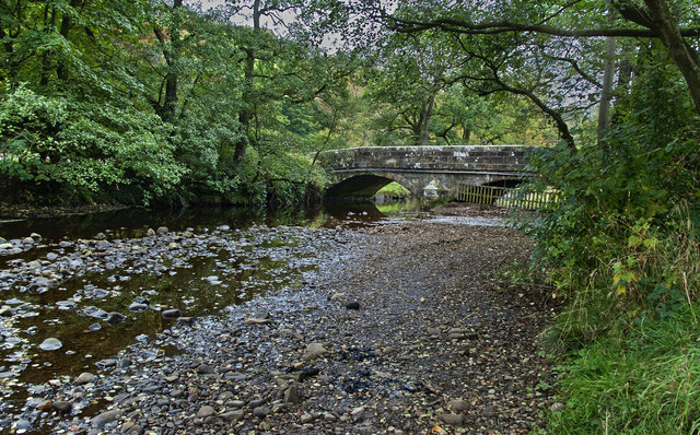
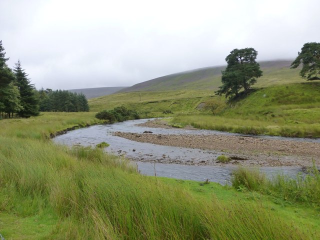
Whinnyshaw Plantation Images
Images are sourced within 2km of 53.980703/-2.6497827 or Grid Reference SD5754. Thanks to Geograph Open Source API. All images are credited.

Whinnyshaw Plantation is located at Grid Ref: SD5754 (Lat: 53.980703, Lng: -2.6497827)
Administrative County: Lancashire
District: Lancaster
Police Authority: Lancashire
What 3 Words
///lamppost.going.decompose. Near Bay Horse, Lancashire
Nearby Locations
Related Wikis

Abbeystead House
Abbeystead House is a large country house to the east of the village of Abbeystead, Lancashire, England, some 12 km (7 miles) south-east of Lancaster....

William Molyneux, 4th Earl of Sefton
William Philip Molyneux, 4th Earl of Sefton, (14 October 1835 – 27 June 1897) was a British peer. == Biography == Born Viscount Molyneux, he was the eldest...

Abbeystead
Abbeystead is a small hamlet located in the Forest of Bowland Area of Outstanding Natural Beauty, in Lancashire, England. Abbeystead lies close to the...

Over Wyresdale
Over Wyresdale is a civil parish and a parish of the Church of England in the City of Lancaster in the English county of Lancashire. It has a population...

Grizedale Bridge
Grizedale Bridge is a Grade II listed bridge in the English parish of Over Wyresdale, Lancashire. The structure, which dates to the 19th century, carries...

Wyresdale Abbey
Wyresdale Abbey was a short-lived medieval monastic house in Over Wyresdale, Lancashire, England. It was founded around 1170 or a little later and ceased...
National nature reserves in Lancashire
National nature reserves in Lancashire in England are established by Natural England. There are two national nature reserves in Lancashire, both of which...

Abbeystead disaster
The Abbeystead disaster occurred on the evening of 23 May 1984 when a methane gas explosion destroyed a waterworks' valve house at Abbeystead, Lancashire...
Nearby Amenities
Located within 500m of 53.980703,-2.6497827Have you been to Whinnyshaw Plantation?
Leave your review of Whinnyshaw Plantation below (or comments, questions and feedback).