Chapel Coppice
Wood, Forest in Dorset
England
Chapel Coppice
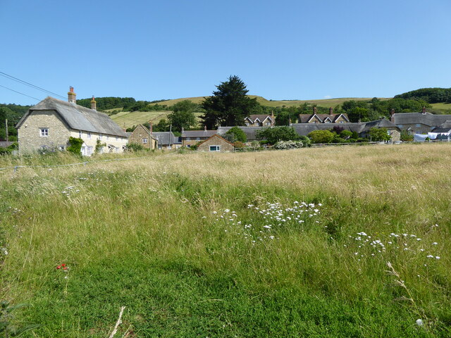
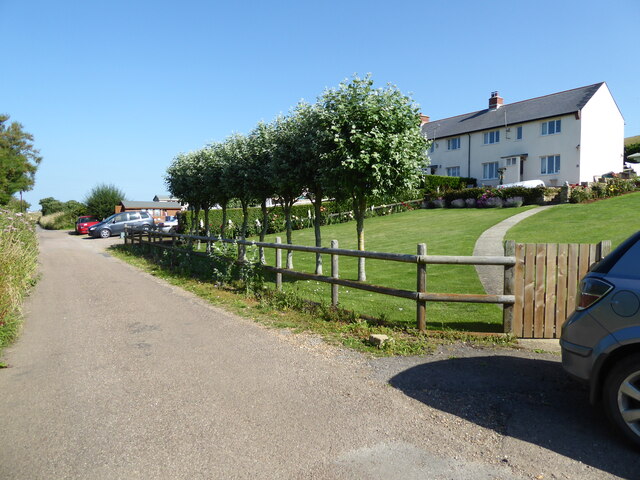
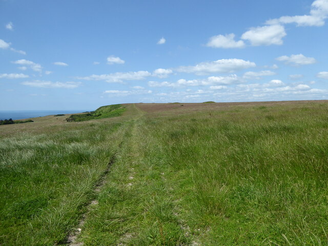
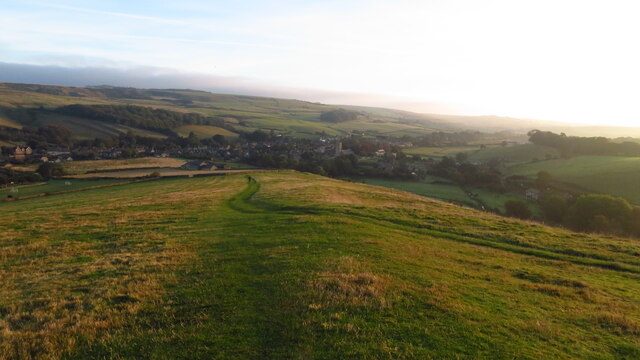
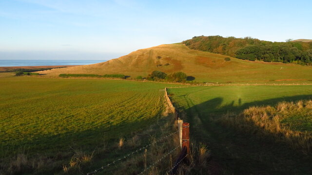
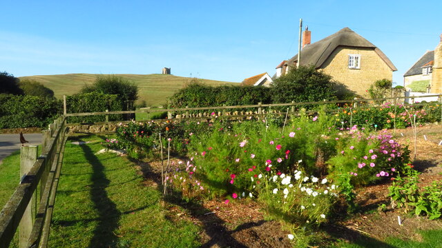
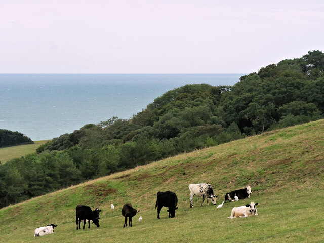
Chapel Coppice is a picturesque wood located in the county of Dorset, England. Spread across an area of approximately 100 acres, it is renowned for its natural beauty and tranquil atmosphere. The coppice is situated in close proximity to the village of Chapel, which adds to its charm and accessibility.
The wood is predominantly comprised of oak and beech trees, which provide a dense canopy, creating a cool and shaded environment. The forest floor is covered with a rich carpet of ferns, wildflowers, and moss, adding to the ethereal ambiance of the woodland. The diverse flora and fauna found within Chapel Coppice make it a haven for nature enthusiasts and wildlife lovers.
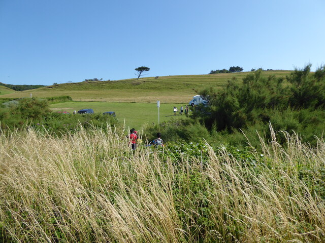
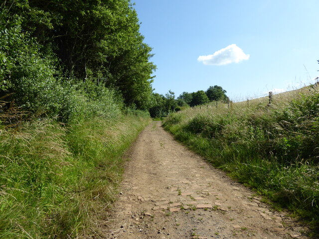
Several walking trails wind their way through the wood, allowing visitors to explore its various nooks and crannies. These paths are well-maintained and offer a peaceful retreat for hikers and walkers. The wood also boasts a small stream that meanders through its heart, adding to the serenity of the surroundings.
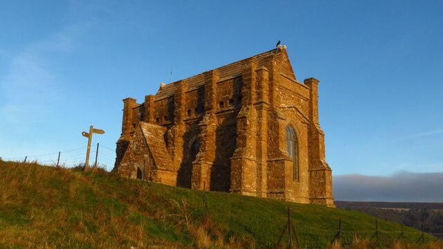
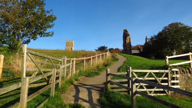
Chapel Coppice is not only a natural treasure but also holds historical significance. The name itself suggests the presence of a chapel in the area, indicating its connection to the past. The remains of the chapel can still be seen near the wood, adding an element of mystery and intrigue to the site.
Overall, Chapel Coppice in Dorset is a captivating woodland that offers a perfect escape from the hustle and bustle of modern life. Its beauty, biodiversity, and historical significance make it a must-visit destination for nature lovers and history enthusiasts alike.
If you have any feedback on the listing, please let us know in the comments section below.
Chapel Coppice Images
Images are sourced within 2km of 50.660187/-2.6028956 or Grid Reference SY5784. Thanks to Geograph Open Source API. All images are credited.

Chapel Coppice is located at Grid Ref: SY5784 (Lat: 50.660187, Lng: -2.6028956)
Unitary Authority: Dorset
Police Authority: Dorset
What 3 Words
///hazy.open.decency. Near Chickerell, Dorset
Nearby Locations
Related Wikis
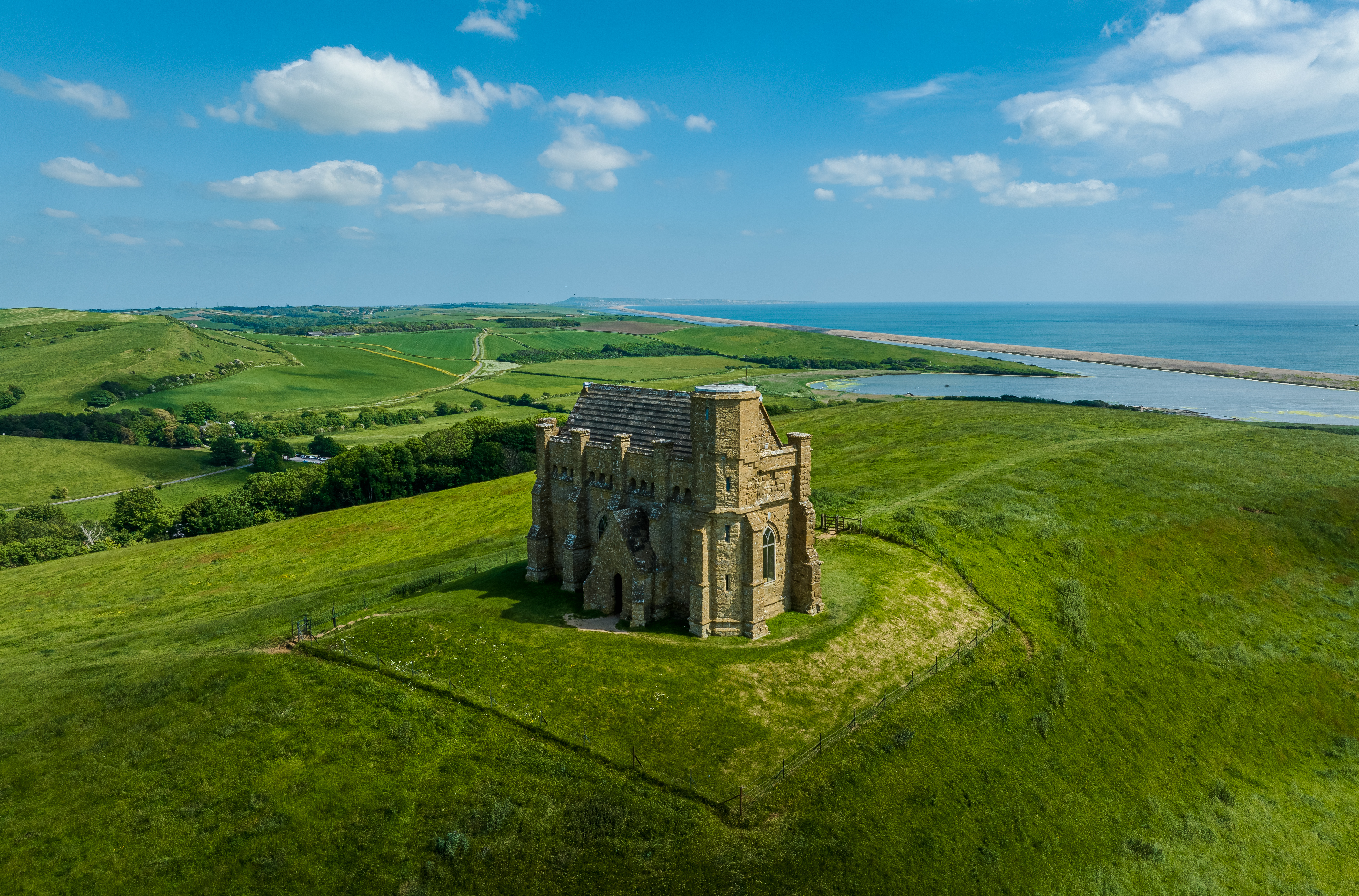
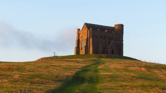
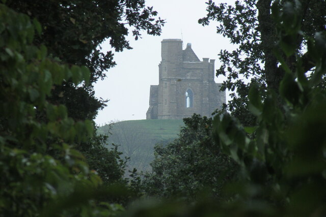
St Catherine's Chapel, Abbotsbury
St Catherine's Chapel is a small chapel situated on a hill above the village of Abbotsbury in Dorset, England. It is dedicated to Saint Catherine. It is...
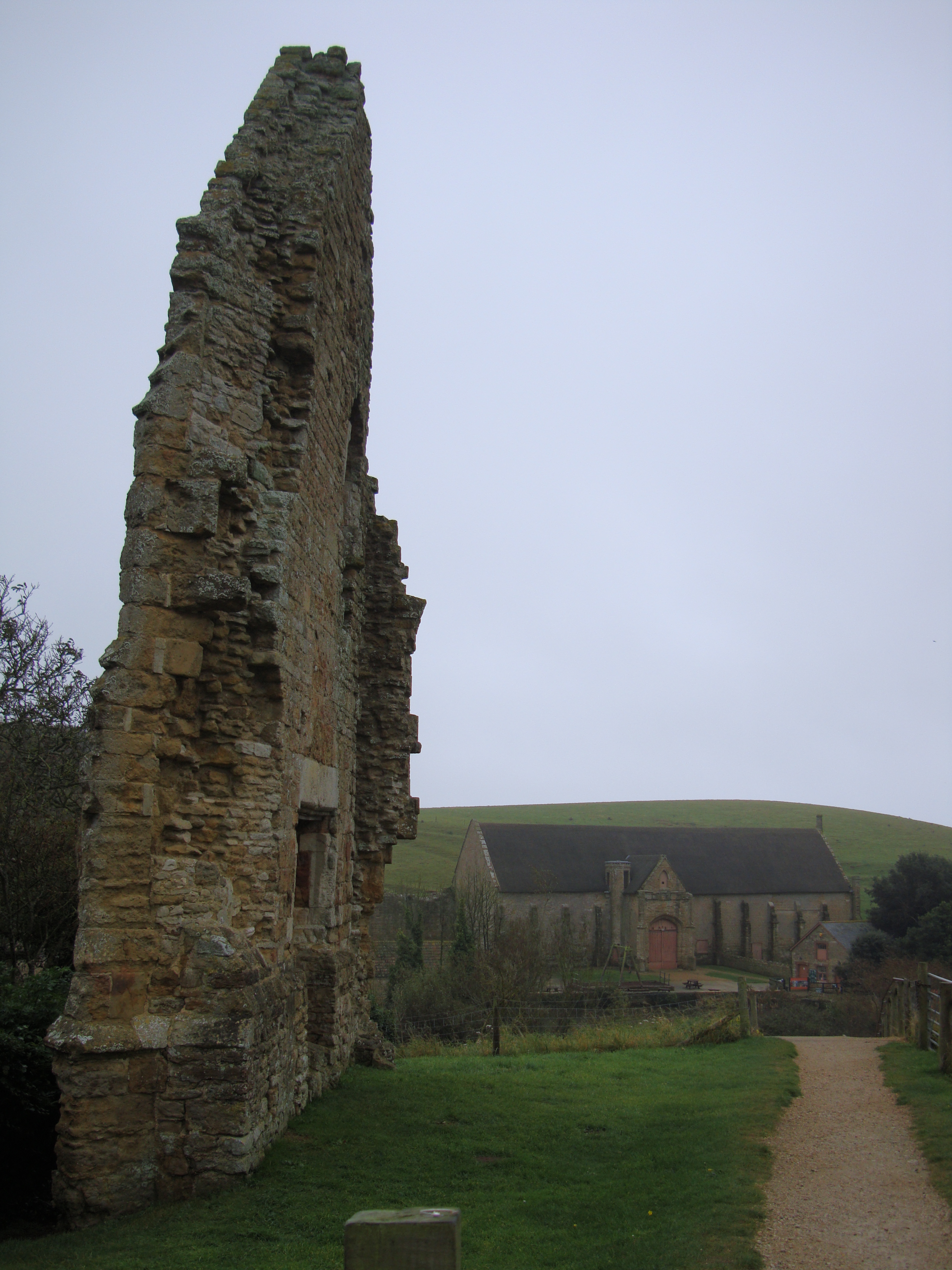
Abbotsbury Abbey
Abbotsbury Abbey, dedicated to Saint Peter, was a Benedictine monastery in the village of Abbotsbury in Dorset, England. The abbey was founded in the 11th...

St Nicholas' Church, Abbotsbury
St Nicholas' Church is a Church of England church in Abbotsbury, Dorset, England. The earliest parts of the church date to the 14th century origin, with...

Abbotsbury
Abbotsbury is a village and civil parish in the English county of Dorset. The settlement is in the unitary authority of Dorset about 1 mile (1.6 km) inland...

Abbotsbury Swannery
Abbotsbury Swannery is the only managed colony of nesting mute swans in the world. It is situated near the village of Abbotsbury in Dorset, England, 14...

Abbotsbury Blind Lane
Abbotsbury Blind Lane (grid reference SY576856) is a 0.4 hectares (0.99 acres) geological Site of Special Scientific Interest in Dorset, notified in 1986...

Abbotsbury railway station
Abbotsbury was the terminus of the Abbotsbury branch railway in the west of the English county of Dorset. Serving the village of Abbotsbury, it was sited...

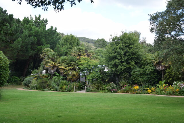
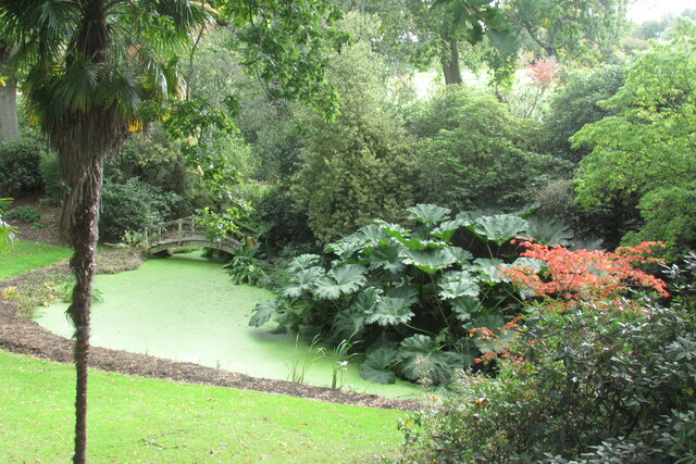
Abbotsbury Subtropical Gardens
The Abbotsbury Subtropical Gardens is a visitor attraction near the village of Abbotsbury, Dorset, southern England. They are Grade I listed in the National...
Nearby Amenities
Located within 500m of 50.660187,-2.6028956Have you been to Chapel Coppice?
Leave your review of Chapel Coppice below (or comments, questions and feedback).