Bury Wood

Wood, Forest in Shropshire

England

Bury Wood

Hedge by A49 north of Lee Brockhurst The old OS map shows five small fields in a triangle of land to the left of the road.  Some of these have been developed, and the hedge bounds the gardens
Hedge by A49 north of Lee Brockhurst Credit: David Smith

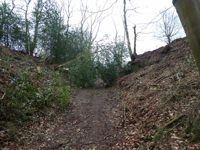
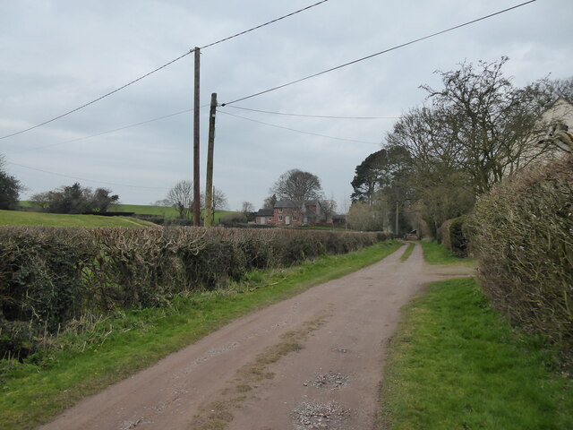
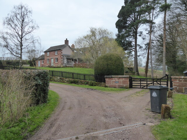
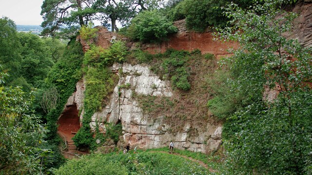
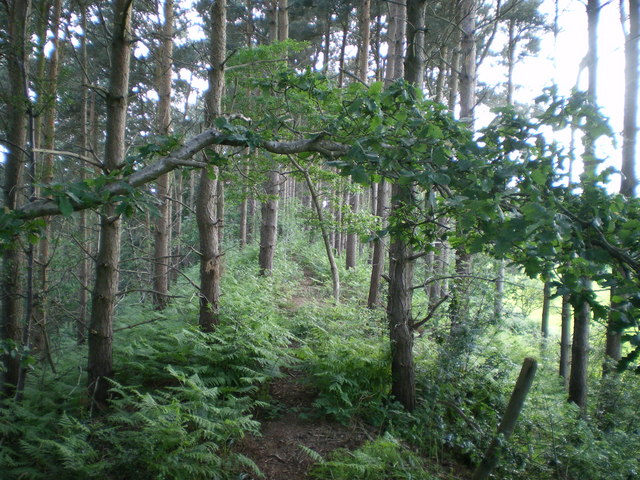
Bury Wood is a captivating woodland located in Shropshire, England. This enchanting forest covers an area of approximately 100 acres and is surrounded by picturesque landscapes and rolling hills. The wood is situated just a few miles away from the village of Bury and can be accessed via well-maintained footpaths.

Bury Wood boasts a diverse range of trees, including oak, beech, ash, and birch, creating a rich and varied habitat for various plant and animal species. The forest floor is adorned with a vibrant carpet of bluebells during the spring months, creating a breathtaking sight for visitors.

Visiting Bury Wood offers an immersive experience into nature, providing a serene and tranquil environment for hikers, nature enthusiasts, and families alike. The woodland is home to numerous species of birds, making it an ideal spot for birdwatchers to observe a variety of species in their natural habitat.

The wood is also known for its well-preserved archaeological sites, with remnants of ancient settlements and burial mounds scattered throughout. These historical features add an extra layer of intrigue and fascination to Bury Wood, attracting history enthusiasts and archaeology buffs.

The forest is well-maintained, with carefully marked trails and information boards providing insights into the flora, fauna, and history of the area. Bury Wood offers an ideal destination for a leisurely stroll, a picnic amidst nature, or simply a peaceful retreat away from the hustle and bustle of everyday life.

If you have any feedback on the listing, please let us know in the comments section below.
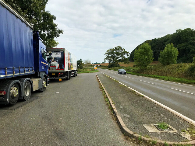
Bury Wood Images

Images are sourced within 2km of 52.844891/-2.6329584 or Grid Reference SJ5727. Thanks to Geograph Open Source API. All images are credited.

Hedge by A49 north of Lee Brockhurst The old OS map shows five small fields in a triangle of land to the left of the road.  Some of these have been developed, and the hedge bounds the gardens
Hedge by A49 north of Lee Brockhurst
The old OS map shows five small fields in a triangle of land to the left of the road. Some of these have been developed, and the hedge bounds the gardens
Crocuses in March near Lee Brockhurst Great to see and appreciate.
Crocuses in March near Lee Brockhurst
Great to see and appreciate.
Old barn beside the track So nice I had to snap it again.
Old barn beside the track
So nice I had to snap it again.
Woodland beside the track Much altered since I was last here, though whether due to recent Storm Arwen or just normal forestry work I can't say for sure.
Woodland beside the track
Much altered since I was last here, though whether due to recent Storm Arwen or just normal forestry work I can't say for sure.
Woodland beside the track Impressive.
Woodland beside the track
Impressive.
Track in a gorge Tolkien-esque is the word that springs to mind.
Track in a gorge
Tolkien-esque is the word that springs to mind.
Tree down across the track Storm damage or forestry work?
Tree down across the track
Storm damage or forestry work?
Nice house beside the track Nice house and nice garden.
Nice house beside the track
Nice house and nice garden.
Pretty cottage in Weston Heath Striking.
Pretty cottage in Weston Heath
Striking.
Outbuilding beside the track Eye-catching and crooked old structure, which I have snapped before and couldn't resist again.
Outbuilding beside the track
Eye-catching and crooked old structure, which I have snapped before and couldn't resist again.
View towards Mulberry Cottage Striking rural home.
View towards Mulberry Cottage
Striking rural home.
Mulberry Cottage Much extended - in fact the extensions dwarf the original cottage by half - but sweet nonetheless.
Mulberry Cottage
Much extended - in fact the extensions dwarf the original cottage by half - but sweet nonetheless.
Hawkstone Park Cliffs Along the walk at the base of the cliffs is Reynard's Banqueting House, a large cave on the left of this view
Hawkstone Park Cliffs
Along the walk at the base of the cliffs is Reynard's Banqueting House, a large cave on the left of this view
Layby on the northbound A49 near Weston The A49 is a major road that runs for 158 miles from Bamber Bridge, near Preston, to Ross-on-Wye.

The section north of Warrington is mostly a non-primary road for local traffic, having been largely superseded by the M6 motorway. South of Warrington, the route traverses the Welsh Marches region <span class="nowrap"><a title="https://en.wikipedia.org/wiki/Welsh_Marches" rel="nofollow ugc noopener" href="https://en.wikipedia.org/wiki/Welsh_Marches">Link</a><img style="margin-left:2px;" alt="External link" title="External link - shift click to open in new window" src="https://s1.geograph.org.uk/img/external.png" width="10" height="10"/></span>  , following the hills along the English/Welsh borders although it never actually enters Wales; usually running around ten miles away from the border as it winds its way through Cheshire, Shropshire and Herefordshire although it comes within a couple of miles near Whitchurch. The road is all primary but mainly single carriageway, which means that traffic queues sometimes build up behind tractors or slow-moving goods vehicles.  The stretch between the A5 at Shrewsbury and Ross-on-Wye is a trunk road, maintained by the national Highways England.
<span class="nowrap"><a title="http://www.sabre-roads.org.uk/wiki/index.php?title=A49" rel="nofollow ugc noopener" href="http://www.sabre-roads.org.uk/wiki/index.php?title=A49">Link</a><img style="margin-left:2px;" alt="External link" title="External link - shift click to open in new window" src="https://s1.geograph.org.uk/img/external.png" width="10" height="10"/></span>  SABRE
Layby on the northbound A49 near Weston
The A49 is a major road that runs for 158 miles from Bamber Bridge, near Preston, to Ross-on-Wye. The section north of Warrington is mostly a non-primary road for local traffic, having been largely superseded by the M6 motorway. South of Warrington, the route traverses the Welsh Marches region LinkExternal link , following the hills along the English/Welsh borders although it never actually enters Wales; usually running around ten miles away from the border as it winds its way through Cheshire, Shropshire and Herefordshire although it comes within a couple of miles near Whitchurch. The road is all primary but mainly single carriageway, which means that traffic queues sometimes build up behind tractors or slow-moving goods vehicles. The stretch between the A5 at Shrewsbury and Ross-on-Wye is a trunk road, maintained by the national Highways England. LinkExternal link SABRE
Flooded road near Quarry Farm Looking West along  flooded road near Quarry Farm
Flooded road near Quarry Farm
Looking West along flooded road near Quarry Farm
Bridleway track adjacent at Moston Pool Looking NW along  bridleway track which is to the West of Weston Heath Coppice.
Bridleway track adjacent at Moston Pool
Looking NW along bridleway track which is to the West of Weston Heath Coppice.
Sheep feeding in field near Lee Brockhurst No grass, but plenty of food - presumably beet. Lee Hills and their woodland rise in the background.
Sheep feeding in field near Lee Brockhurst
No grass, but plenty of food - presumably beet. Lee Hills and their woodland rise in the background.
Weston Heath Coppice, near Lee Brockhurst Conifer trees mark the skyline, and presumably have been cleared from the lower slopes. The bracken has freehand for now, but there have been a number of new trees planted recently, hopefully deciduous.
Weston Heath Coppice, near Lee Brockhurst
Conifer trees mark the skyline, and presumably have been cleared from the lower slopes. The bracken has freehand for now, but there have been a number of new trees planted recently, hopefully deciduous.
Show me another place!

Bury Wood is located at Grid Ref: SJ5727 (Lat: 52.844891, Lng: -2.6329584)

Unitary Authority: Shropshire

Police Authority: West Mercia

What 3 Words

///violin.rash.iteration. Near Wem, Shropshire

Nearby Locations

Bury Wood

Related Wikis

Bury Walls

Bury Walls is an Iron Age hillfort about 1 mile (1.6 km) south-east of Weston-under-Redcastle, in Shropshire, England. It is a scheduled monument. ��2...

Hawkstone Park Motocross Circuit

Hawkstone Park Motocross Circuit, typically referred to as Hawkstone Park or Hawkstone, is a motocross circuit situated near Market Drayton, north Shropshire...

Weston-under-Redcastle

Weston-under-Redcastle is an estate village of the Sir Rowland Hill legacy estates. It is a civil parish in Shropshire, England. It lies 10 km (6.2 miles...

Hawkstone Park

Hawkstone Park is a historic landscape park in Shropshire, England, with pleasure grounds and gardens. It historically associated with Soulton Hall the...

Nearby Amenities

Located within 500m of 52.844891,-2.6329584
Burry Walls Hillfort
Historic: archaeological_site
Lat/Long: 52.8433553/-2.6303584
The data included in this document is from www.openstreetmap.org. The data is made available under ODbL.

Have you been to Bury Wood?

Leave your review of Bury Wood below (or comments, questions and feedback).