River Plantation
Wood, Forest in Shropshire
England
River Plantation

The requested URL returned error: 429 Too Many Requests
If you have any feedback on the listing, please let us know in the comments section below.
River Plantation Images
Images are sourced within 2km of 52.752631/-2.6327607 or Grid Reference SJ5717. Thanks to Geograph Open Source API. All images are credited.


River Plantation is located at Grid Ref: SJ5717 (Lat: 52.752631, Lng: -2.6327607)
Unitary Authority: Telford and Wrekin
Police Authority: West Mercia
What 3 Words
///access.swoop.eclipses. Near Withington, Shropshire
Nearby Locations
Related Wikis

Roden, Shropshire
Roden is a hamlet in the borough of Telford and Wrekin and ceremonial county of Shropshire, England, six miles northeast of Shrewsbury. The little River...

High Ercall
High Ercall ( AR-kəl) , also known in the past as Ercall Magna (), is a village in the borough of Telford and Wrekin and ceremonial county of Shropshire...
Siege of High Ercall Hall
The siege of High Ercall Hall in High Ercall, Shropshire, England took place during the First English Civil War. There were a total of three sieges. In...
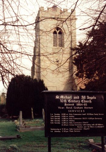
St Michael's Church, High Ercall
St Michael's Church is in the village of High Ercall, Shropshire, England. It is an active Anglican parish church in the deanery of Wrockwardine, the...
Nearby Amenities
Located within 500m of 52.752631,-2.6327607Have you been to River Plantation?
Leave your review of River Plantation below (or comments, questions and feedback).