Bamber's Plantation
Wood, Forest in Lancashire Chorley
England
Bamber's Plantation
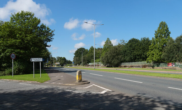
Bamber's Plantation is a picturesque woodland located in Lancashire, England. Nestled within the heart of the county, the plantation covers a vast area of approximately 200 acres. It is renowned for its natural beauty and tranquility, attracting visitors from near and far.
The woodland consists primarily of deciduous trees, including oak, beech, and birch, which create a stunning canopy over the forest floor. The diverse range of tree species provides a habitat for a wide variety of wildlife, including deer, foxes, and numerous bird species. This makes Bamber's Plantation a popular destination for nature enthusiasts and birdwatchers.
A network of well-maintained trails meanders through the woodland, offering visitors the opportunity to explore and immerse themselves in its serene atmosphere. These trails are suitable for both leisurely strolls and more adventurous hikes, accommodating visitors of all ages and fitness levels.
In addition to its natural beauty, Bamber's Plantation also boasts historical significance. The site has been designated as a Site of Special Scientific Interest (SSSI) due to its historic woodland features, including ancient tree stumps and remnants of former wood boundaries. This preservation ensures that future generations can appreciate the rich heritage of the area.
Overall, Bamber's Plantation in Lancashire is a true gem for nature lovers and history enthusiasts alike. With its captivating woodland scenery, abundant wildlife, and historical significance, it offers a unique and memorable experience for all who visit.
If you have any feedback on the listing, please let us know in the comments section below.
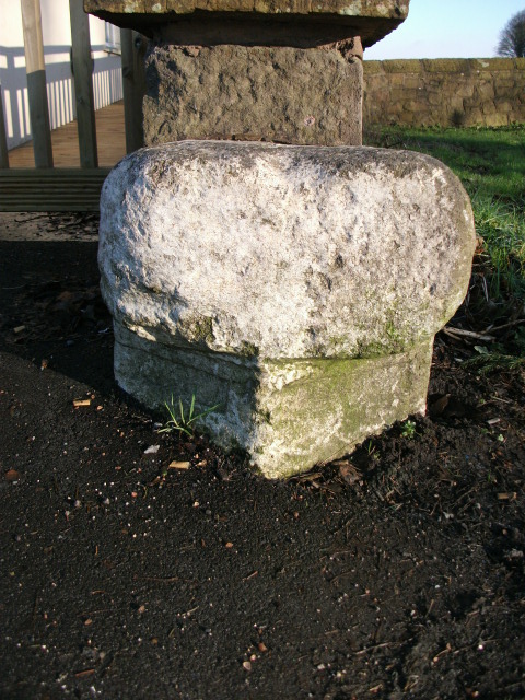
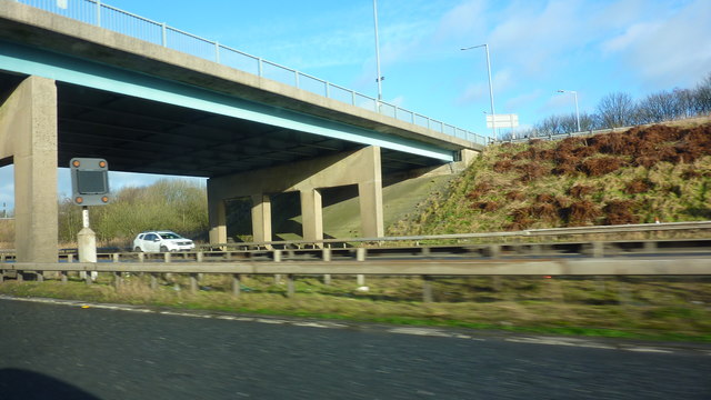
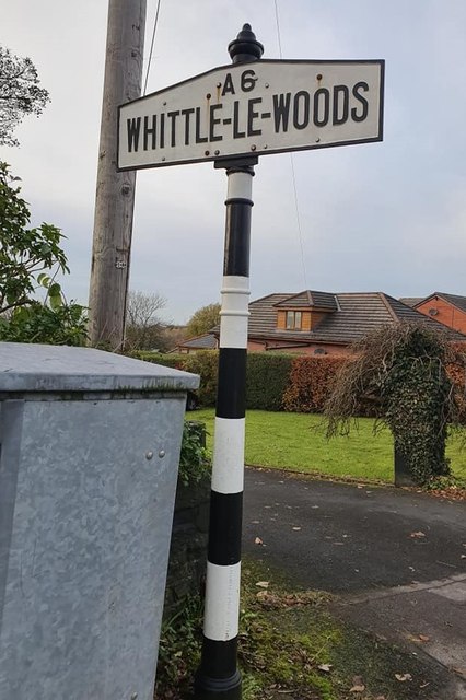
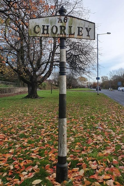
Bamber's Plantation Images
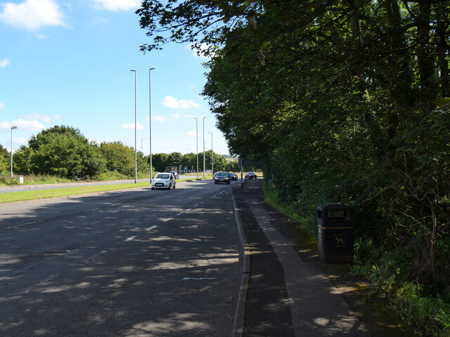
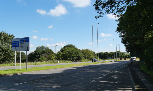
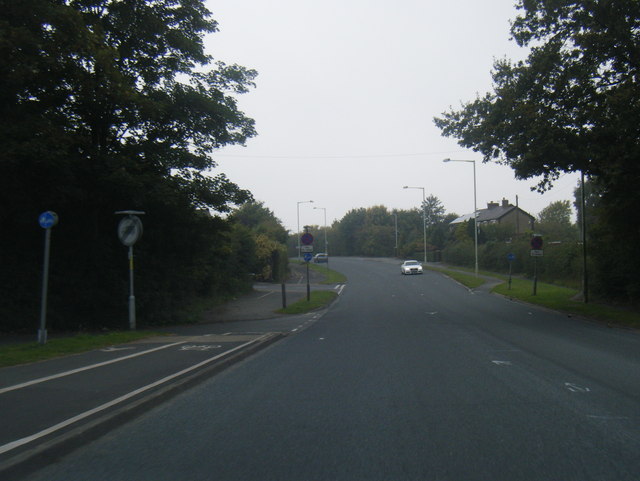
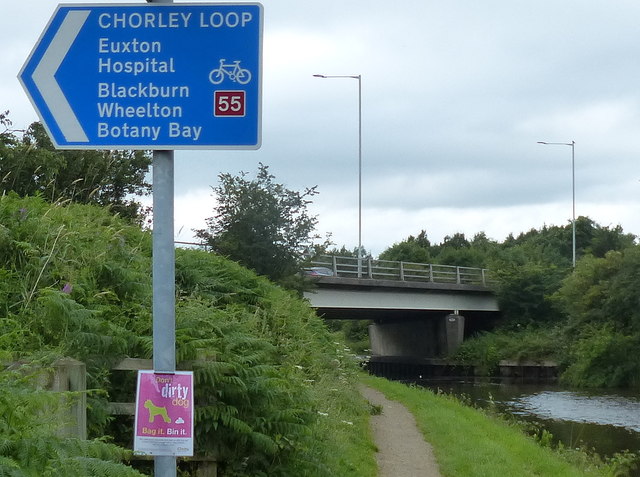
Images are sourced within 2km of 53.679152/-2.6482039 or Grid Reference SD5720. Thanks to Geograph Open Source API. All images are credited.


Bamber's Plantation is located at Grid Ref: SD5720 (Lat: 53.679152, Lng: -2.6482039)
Administrative County: Lancashire
District: Chorley
Police Authority: Lancashire
What 3 Words
///frown.kiosk.space. Near Euxton, Lancashire
Related Wikis

Shaw Hill
Shaw Hill is an 18th-century country house in Whittle-le-Woods, Lancashire, England, standing in 192 acres of parkland some 3 miles (5 km) north of Chorley...

ROF Chorley
ROF Chorley was a UK government-owned munitions filling Royal Ordnance Factory (Filling Factory No. 1). It was planned as a permanent Royal Ordnance Factory...
Leyland Hundred
The Leyland Hundred (also known as Leylandshire) is a historic subdivision of the English county of Lancashire. It covered the parishes of Brindle, Chorley...

Lucas Green, Lancashire
Lucas Green is a village in Lancashire, England. == References == The geographic coordinates are from the Ordnance Survey.
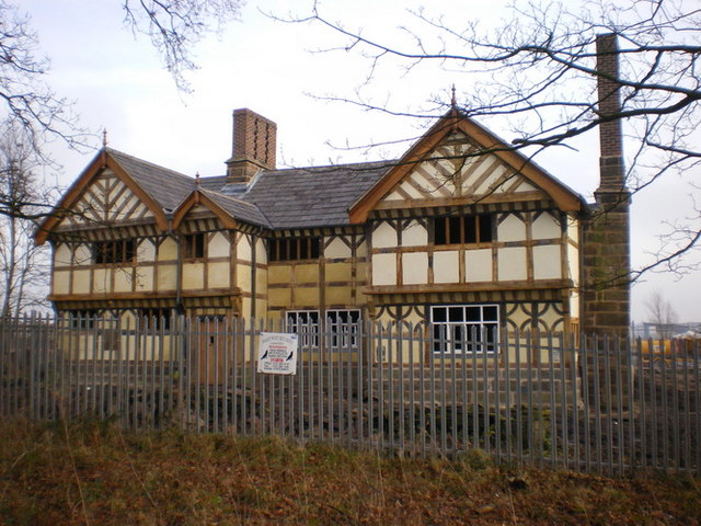
Buckshaw Hall
Buckshaw Hall is a grade II* listed 17th-century country house in Buckshaw Village, Euxton, some 3 miles (4.8 km) north-west of Chorley, England. ��2...
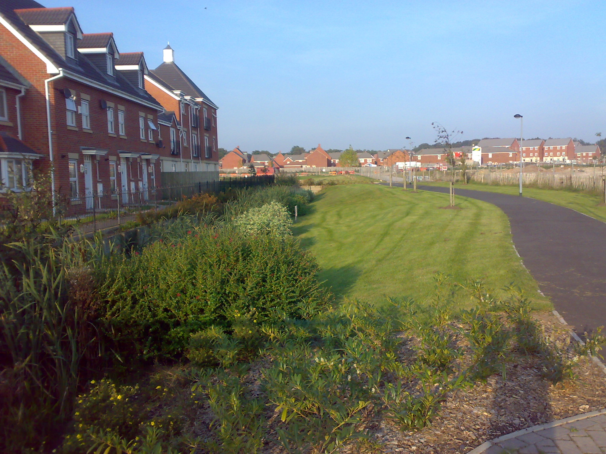
Buckshaw Village
Buckshaw Village (often shortened to Buckshaw) is a 21st-century residential and industrial area between the towns of Chorley and Leyland in Lancashire...

Buckshaw Parkway railway station
Buckshaw Parkway is a British railway station which opened on 3 October 2011 on the Manchester to Preston Line, near Euxton Junction with the West Coast...

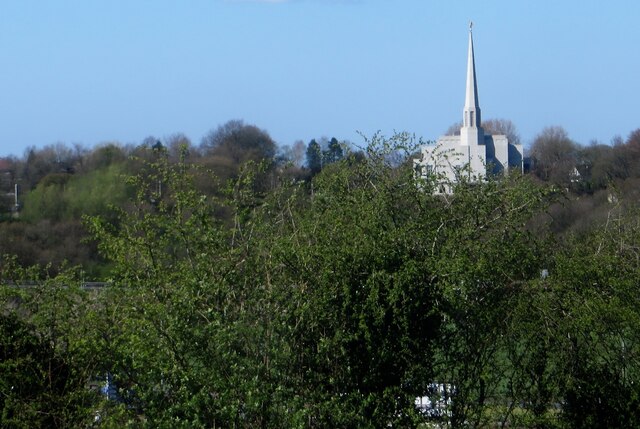
Preston England Temple
The Preston England Temple is the 52nd operating temple of the Church of Jesus Christ of Latter-day Saints (LDS Church). The temple is located in the town...
Nearby Amenities
Located within 500m of 53.679152,-2.6482039Have you been to Bamber's Plantation?
Leave your review of Bamber's Plantation below (or comments, questions and feedback).