Common Wood

Wood, Forest in Gloucestershire Forest of Dean

England

Common Wood

Flush Bracket on Trig Pillar
Flush Bracket on Trig Pillar Credit: Clive Perrin

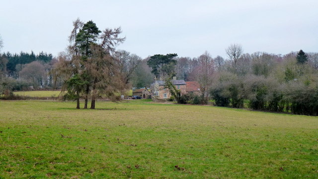
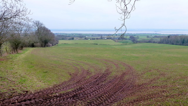
Common Wood is a picturesque forest located in Gloucestershire, England. Covering an area of approximately 100 acres, it is a popular destination for nature enthusiasts and outdoor adventurers alike. The wood is situated near the village of Wood, and is easily accessible by foot or car.

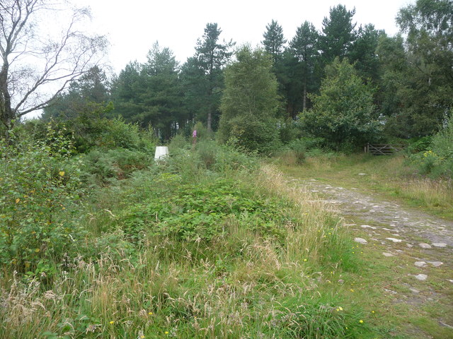
The forest is predominantly composed of broadleaf trees, such as oak, beech, and ash, which provide a stunning backdrop throughout the year. In the spring, the forest floor is adorned with colorful wildflowers, while in the autumn, the trees transform into a vibrant display of reds, oranges, and yellows.

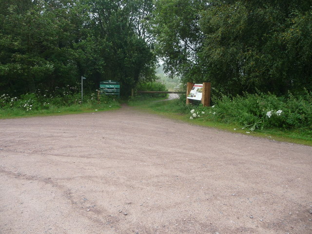
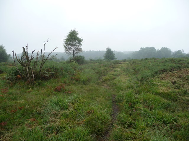
Common Wood offers a range of recreational activities for visitors to enjoy. There are numerous walking trails that wind through the forest, allowing visitors to explore its beauty at their own pace. The trails vary in difficulty, catering to both casual strollers and avid hikers. Along the way, visitors may encounter a variety of wildlife, including deer, squirrels, and a variety of bird species.

For those seeking a more immersive experience, camping facilities are available within the wood. This allows visitors to spend a night under the stars, surrounded by the peaceful sounds of nature. Additionally, there are picnic areas scattered throughout the wood, providing the perfect spot for a leisurely lunch or a family gathering.

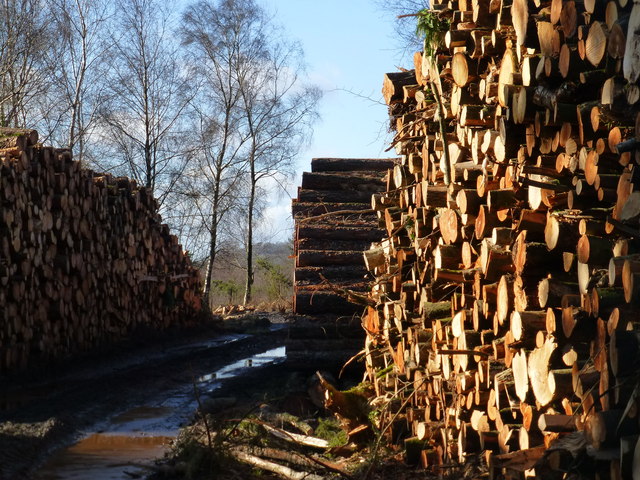
Common Wood is not only a haven for nature lovers, but it also plays an important role in the local ecosystem. It provides a habitat for a diverse range of flora and fauna, and is actively managed to ensure its preservation for future generations to enjoy.

If you have any feedback on the listing, please let us know in the comments section below.
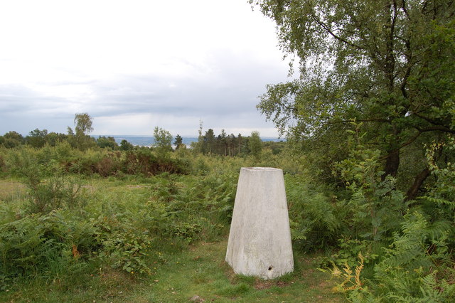
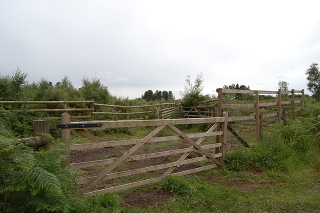
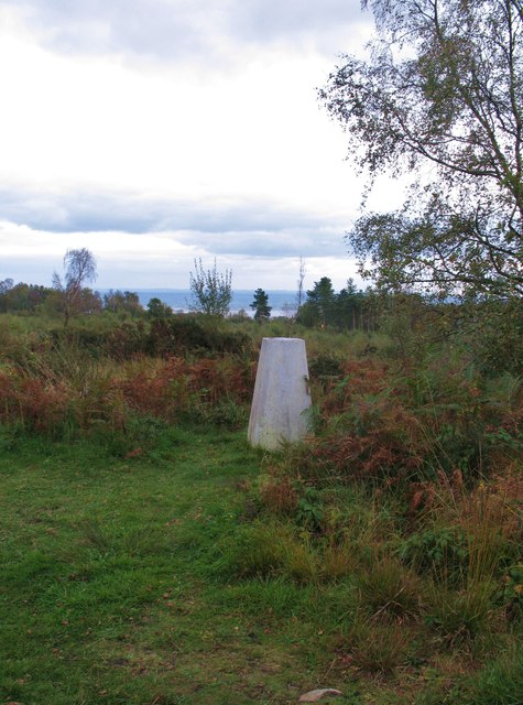
Common Wood Images

Images are sourced within 2km of 51.698864/-2.6196716 or Grid Reference SO5700. Thanks to Geograph Open Source API. All images are credited.

Flush Bracket on Trig Pillar
Trig Pillar Tidenham Park
Animal Pound Tidenham  Park
Animal Pound Tidenham Park
Trig Point 217m Now largely surrounded by small trees and scrub, this OS trig point was probably erected when the view around was clear. The Severn estuary can be glimpsed in the distance.
Trig Point 217m
Now largely surrounded by small trees and scrub, this OS trig point was probably erected when the view around was clear. The Severn estuary can be glimpsed in the distance.
A picnic area off the A48
House at Park Hill View across pasture land with the backdrop of Burnt Plantation.
House at Park Hill
View across pasture land with the backdrop of Burnt Plantation.
Pastoral scene to the mighty Severn View from Park Hill Road over High Woolaston.
Pastoral scene to the mighty Severn
View from Park Hill Road over High Woolaston.
Part of the Forestry Commission car park at The Park near Tidenham Chase Information boards and waymarked paths abound. Nice starting point for several walks locally.
Part of the Forestry Commission car park at The Park near Tidenham Chase
Information boards and waymarked paths abound. Nice starting point for several walks locally.
Heathland path near Poor's Allotment Heath and scrubland on a slightly dismal summer morning.
Heathland path near Poor's Allotment
Heath and scrubland on a slightly dismal summer morning.
Old trig point in The Park Partly obscured by the scrub.
Old trig point in The Park
Partly obscured by the scrub.
Public toilets in a picnic and parking area near the A48, Woolaston There was an unexpected bank of fog in the Woolaston area on a November Sunday that was clear 
and sunny with bright blue skies elsewhere, hence the poor visibility in the background.
Public toilets in a picnic and parking area near the A48, Woolaston
There was an unexpected bank of fog in the Woolaston area on a November Sunday that was clear and sunny with bright blue skies elsewhere, hence the poor visibility in the background.
Entrance from the A48 to a picnic area, Woolaston Facilities in the picnic area include public toilets. <a title="https://www.geograph.org.uk/photo/3230301" href="https://www.geograph.org.uk/photo/3230301">Link</a>
Entrance from the A48 to a picnic area, Woolaston
Facilities in the picnic area include public toilets. Link
Church Lane, Woolaston On the left, a sign pointing to the sky shows CHURCH.
The sign should of course be interpreted as pointing ahead, towards this <a title="https://www.geograph.org.uk/photo/1899890" href="https://www.geograph.org.uk/photo/1899890">Link</a> church.
Church Lane, Woolaston
On the left, a sign pointing to the sky shows CHURCH. The sign should of course be interpreted as pointing ahead, towards this Link church.
Keynsham Lane, Woolaston Keynsham Lane heads towards Keynsham Farm. Out of shot on the left is Church Lane. <a title="https://www.geograph.org.uk/photo/3230351" href="https://www.geograph.org.uk/photo/3230351">Link</a>
Keynsham Lane, Woolaston
Keynsham Lane heads towards Keynsham Farm. Out of shot on the left is Church Lane. Link
A48 at Ashwell Lodge
A48 at Woolaston village boundary
Track through The Park from car park on B4228 See <a href="https://www.geograph.org.uk/photo/3321031">ST5599 : Footpath across The Park - and you'd be in for a muddy trek!</a> for the other end of this track/path.  Much restoration work is under way to return this area to heathland - hence the woodpiles!
Track through The Park from car park on B4228
See ST5599 : Footpath across The Park - and you'd be in for a muddy trek! for the other end of this track/path. Much restoration work is under way to return this area to heathland - hence the woodpiles!
Chase House by the B4228
Show me another place!

Common Wood is located at Grid Ref: SO5700 (Lat: 51.698864, Lng: -2.6196716)

Administrative County: Gloucestershire

District: Forest of Dean

Police Authority: Gloucestershire

What 3 Words

///train.stumps.limelight. Near Tintern, Monmouthshire

Related Wikis

East Wood, Tidenham

East Wood (grid reference SO561001) (west site) and (grid reference SO563001) (east site) is a 0.82-hectare (2.0-acre) nature reserve in Gloucestershire...

Woolaston

Woolaston is a village and civil parish in the Forest of Dean district of Gloucestershire in South West England. It lies on the north side of the Severn...

Poor's Allotment

Poor's Allotment (grid reference ST560990) is a 28.57-hectare (70.6-acre) biological Site of Special Scientific Interest in Gloucestershire, notified in...

Ridley Bottom, Tidenham

Ridley Bottom (grid reference ST563985) is a 1.1-hectare (2.7-acre) nature reserve in Gloucestershire. The site is listed in the 'Forest of Dean Local...

Nearby Amenities

Located within 500m of 51.698864,-2.6196716
Woolaston Slade
Is In: Gloucestershire, England, UK
Place: hamlet
Lat/Long: 51.6980898/-2.6207704
The data included in this document is from www.openstreetmap.org. The data is made available under ODbL.

Have you been to Common Wood?

Leave your review of Common Wood below (or comments, questions and feedback).