Bradley Wood

Wood, Forest in Westmorland Eden

England

Bradley Wood

St Barnabas' Church, Great Strickland St Barnabas' Church in the village of Great Strickland
St Barnabas' Church, Great Strickland Credit: Katie

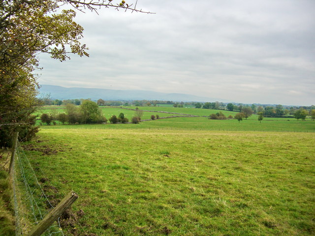
Bradley Wood is a small village located in the rural district of Westmorland in the county of Cumbria, England. Situated within the beautiful Lake District National Park, the village is surrounded by stunning landscapes and dense forest, providing residents and visitors with a tranquil and picturesque environment.

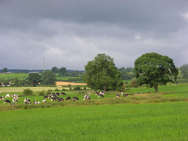
The village is known for its dense woodland, which covers a significant portion of the area. The forest, locally referred to as Bradley Wood, is a haven for nature enthusiasts and offers numerous walking and hiking trails, providing opportunities to explore the diverse flora and fauna of the region. The woodland is home to a variety of tree species, including oak, beech, and birch, creating a rich and vibrant ecosystem.

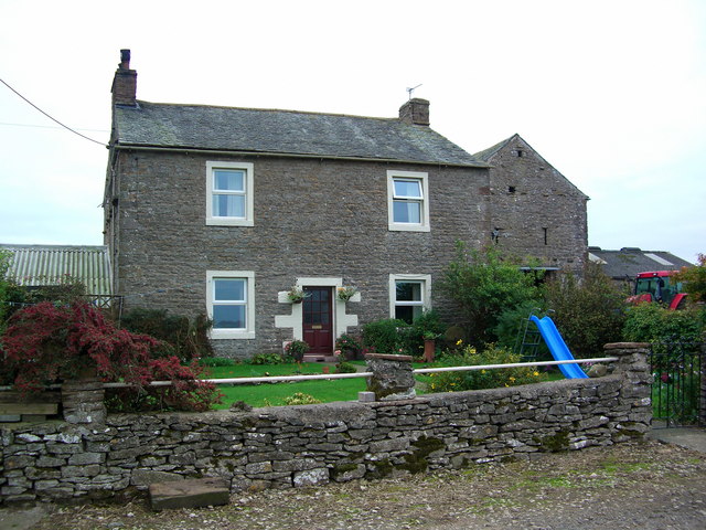
In addition to its natural beauty, Bradley Wood has a close-knit and friendly community. The village is characterized by its traditional stone-built cottages, giving it a charming and idyllic appearance. The residents take pride in maintaining the village's heritage and have worked together to preserve its historical buildings and landmarks.

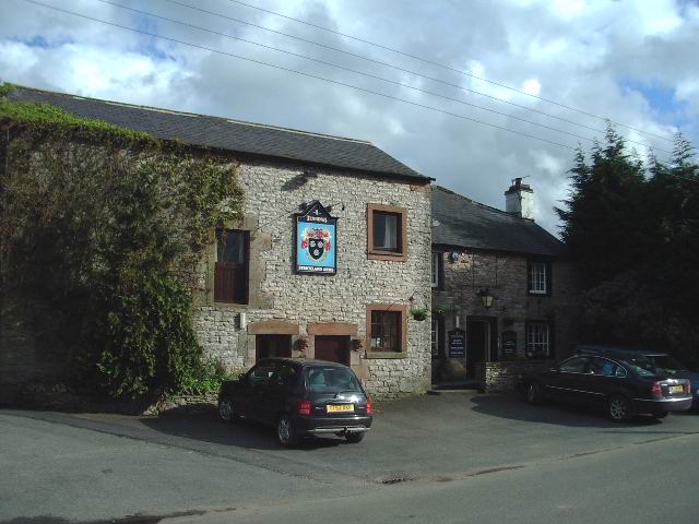
Despite its small size, Bradley Wood boasts a range of amenities for its residents. These include a local pub, a village hall, and a small convenience store, ensuring that basic necessities and social opportunities are readily available.

Overall, Bradley Wood in Westmorland is a peaceful and scenic village nestled within the captivating Lake District National Park. Its natural beauty, strong sense of community, and range of amenities make it an attractive place to live or visit for those seeking tranquility and a connection with nature.

If you have any feedback on the listing, please let us know in the comments section below.
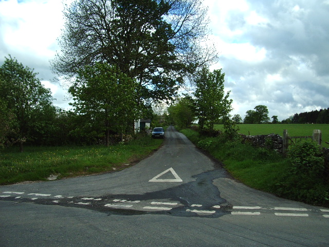
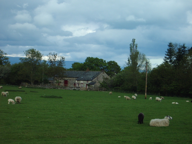
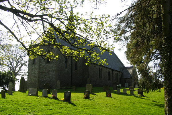
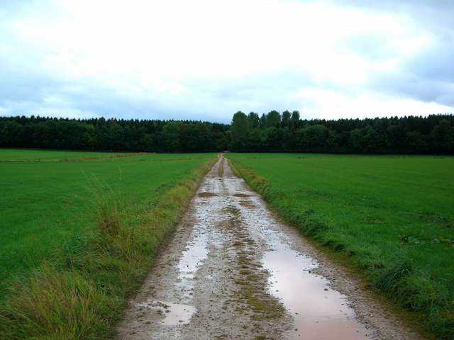
Bradley Wood Images

Images are sourced within 2km of 54.600333/-2.6641034 or Grid Reference NY5722. Thanks to Geograph Open Source API. All images are credited.

St Barnabas' Church, Great Strickland St Barnabas' Church in the village of Great Strickland
St Barnabas' Church, Great Strickland
St Barnabas' Church in the village of Great Strickland
Bridleway to Melkinthorpe Taken from Airygill Lane
Bridleway to Melkinthorpe
Taken from Airygill Lane
Sandstone Outcrop This curious outcrop stands above the River Leith.
Sandstone Outcrop
This curious outcrop stands above the River Leith.
Farm Buildings At Street House Farm
Farm Buildings
At Street House Farm
Spring Unmarked on map, unlike the one in the opposite field, which can't be seen! Located on the sandstone-limestone boundary.
Spring
Unmarked on map, unlike the one in the opposite field, which can't be seen! Located on the sandstone-limestone boundary.
Sandy Ford The Trough Gill has brought down a quantity of sand from the soft sandstone rocks, forming a mini beach.
Sandy Ford
The Trough Gill has brought down a quantity of sand from the soft sandstone rocks, forming a mini beach.
Strickland Arms, Great Stricklands
Inmoor Road, Great Stricklands
Junction, on the Great Strickland to Morland road The road to the left goes to Street House and then on to Cliburn. The white post to the left of the finger sign post is a depth gauge it would seem that there is a flooding problem here.
Junction, on the Great Strickland to Morland road
The road to the left goes to Street House and then on to Cliburn. The white post to the left of the finger sign post is a depth gauge it would seem that there is a flooding problem here.
Serious Problem Problem? what problem, the flood gauge only reads up to 6ft, you will still be able to see which way to go in the boat, the signpost is 7ft high.
Serious Problem
Problem? what problem, the flood gauge only reads up to 6ft, you will still be able to see which way to go in the boat, the signpost is 7ft high.
Mealy Syke
Mealy Syke
Commonholme Bridge Bridge over the River Leith.
Commonholme Bridge
Bridge over the River Leith.
Great Strickland Church Church with an unusual wooden bell tower.
Great Strickland Church
Church with an unusual wooden bell tower.
Stile on a footpath to Melkinthorpe Wood
Edge of Melkinthorpe Wood Taken from the footpath from Melkinthorpe to Great Strickland.
Edge of Melkinthorpe Wood
Taken from the footpath from Melkinthorpe to Great Strickland.
The road to Melkinthorpe Wood
Farmland
Farmland
Show me another place!

Bradley Wood is located at Grid Ref: NY5722 (Lat: 54.600333, Lng: -2.6641034)

Administrative County: Cumbria

District: Eden

Police Authority: Cumbria

What 3 Words

///marker.ruffle.thickens. Near Shap, Cumbria

Related Wikis

Great Strickland

Great Strickland is a village and civil parish in the Eden Valley between the Cumbrian mountains in the west and the Pennines in the east. It is 5 miles...

Leath

Leath was one of the wards of the historic county of Cumberland in north west England. Unlike most other English counties, Cumberland was divided into...

Cliburn, Cumbria

Cliburn is a village and civil parish in the Eden district of Cumbria, England. The civil parish includes the hamlet of Town Head. In 2001 the population...

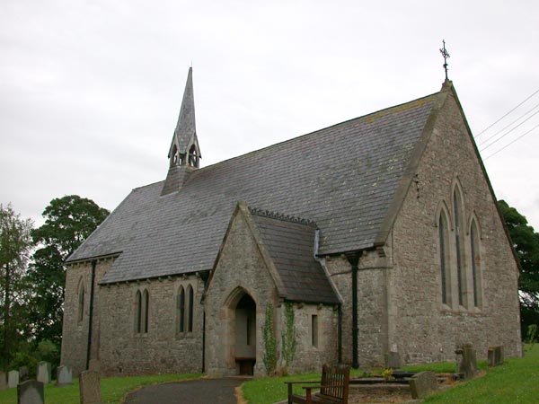
St Laurence's Church, Morland

St Laurence's Church is in the village of Morland, Cumbria, England. It is an active Anglican parish church in the deanery of Appleby, the archdeaconry...
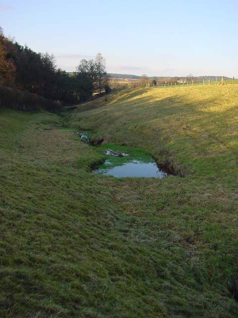
Cliburn Moss

Cliburn Moss is a national nature reserve located northwest of the village of Cliburn, in the county of Cumbria, England. It contains wetland habitats...

Hackthorpe

Hackthorpe is a hamlet in the Eden district, in the county of Cumbria, England. Circa 1870, it had a population of 110 as recorded in the Imperial Gazetteer...

Melkinthorpe

Melkinthorpe is a hamlet in the civil parish of Lowther, in the Eden district, in the county of Cumbria, England. It is near the villages of Hackthorpe...

Newby, Cumbria

Newby is a village and civil parish in the Eden district of the county of Cumbria, England. It is about 7 miles (11 km) from the large town of Penrith...

Nearby Amenities

Located within 500m of 54.600333,-2.6641034
Material: wood
Power: pole
Lat/Long: 54.596138/-2.6633258
Material: wood
Power: pole
Lat/Long: 54.5978573/-2.6660031
Material: wood
Power: pole
Lat/Long: 54.5985674/-2.6676446
Material: wood
Power: pole
Lat/Long: 54.5991361/-2.6688999
Jubilee Plantation
Place: locality
Lat/Long: 54.5975005/-2.6604966
Glebemire Plantation
Place: locality
Lat/Long: 54.5983345/-2.663269
Great Strickland Moor
Place: locality
Lat/Long: 54.6007322/-2.6582968
Give Way
Direction: backward
Lat/Long: 54.5997386/-2.6658298
Power: pole
Lat/Long: 54.596968/-2.6647049
Power: pole
Lat/Long: 54.5998165/-2.6704442
Power: pole
Lat/Long: 54.5994619/-2.6715859
Power: pole
Lat/Long: 54.6020341/-2.6614378
Power: pole
Lat/Long: 54.6026601/-2.6619353
Power: pole
Lat/Long: 54.6033218/-2.6624708
Power: pole
Lat/Long: 54.6025043/-2.6648272
Power: pole
Lat/Long: 54.6029882/-2.6633944
Power: pole
Lat/Long: 54.6037547/-2.6612212
Power: pole
Lat/Long: 54.604185/-2.6606524
Power: pole
Lat/Long: 54.6019514/-2.6663982
Power: pole
Lat/Long: 54.6014495/-2.6678596
Power: pole
Lat/Long: 54.6008001/-2.6690854
Power: pole
Lat/Long: 54.6001521/-2.6702589
The data included in this document is from www.openstreetmap.org. The data is made available under ODbL.

Have you been to Bradley Wood?

Leave your review of Bradley Wood below (or comments, questions and feedback).