Birks Plantation
Wood, Forest in Westmorland Eden
England
Birks Plantation

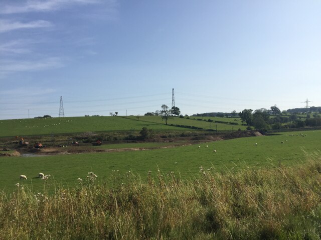
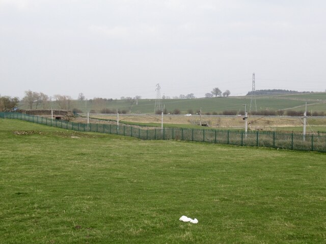
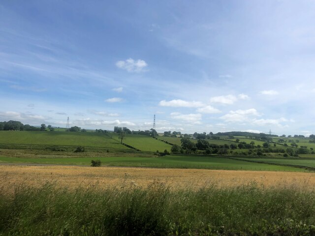
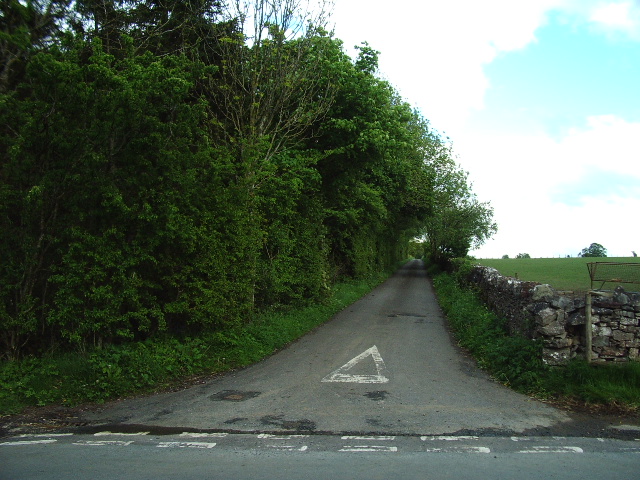
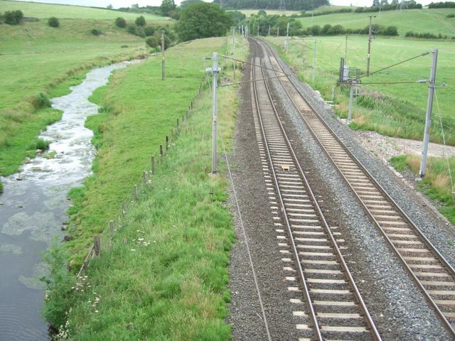
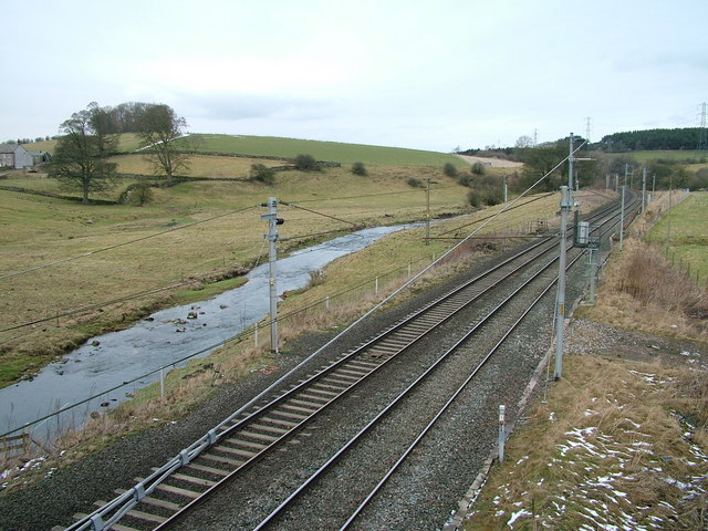
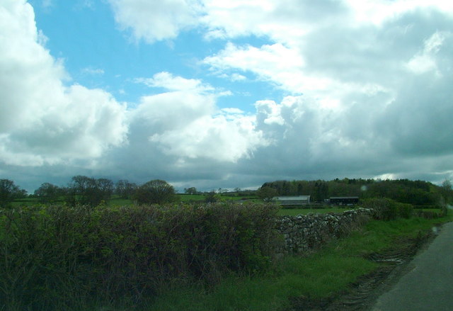
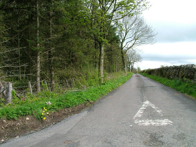
Birks Plantation, located in Westmorland, is a picturesque woodland area that boasts breathtaking natural beauty. Situated in the county of Cumbria, in the North West of England, Birks Plantation is a popular destination for nature lovers and outdoor enthusiasts alike.
Covering an expansive area, the plantation is characterized by its dense forest, consisting primarily of native tree species such as oak, ash, and birch. The woodland is well-preserved, with a rich biodiversity that provides a habitat for various plants and animals.
Visitors to Birks Plantation can enjoy a range of activities, including walking, hiking, and birdwatching. The plantation is crisscrossed by several well-maintained footpaths and trails, allowing visitors to explore the area at their own pace. The serene atmosphere and tranquility of the woodland provide the perfect opportunity to immerse oneself in nature and unwind from the hustle and bustle of daily life.
Wildlife enthusiasts will delight in the diverse array of species that call Birks Plantation home. The woodland is known for its resident bird population, with species such as woodpeckers, jays, and thrushes frequently spotted. Additionally, the plantation is a haven for small mammals, including squirrels and rabbits, as well as a variety of insects and butterflies.
Birks Plantation is not only a haven for wildlife but also an important natural resource. The woodland plays a crucial role in carbon sequestration, helping to mitigate the impact of climate change. It also serves as a valuable recreational space for the local community, providing a peaceful escape into nature.
In summary, Birks Plantation in Westmorland is a captivating woodland area that offers visitors a chance to connect with nature. With its diverse flora and fauna and well-maintained trails, the plantation provides an ideal setting for outdoor activities and relaxation.
If you have any feedback on the listing, please let us know in the comments section below.
Birks Plantation Images
Images are sourced within 2km of 54.566996/-2.6648758 or Grid Reference NY5719. Thanks to Geograph Open Source API. All images are credited.


Birks Plantation is located at Grid Ref: NY5719 (Lat: 54.566996, Lng: -2.6648758)
Administrative County: Cumbria
District: Eden
Police Authority: Cumbria
What 3 Words
///visions.unravel.perfumed. Near Shap, Cumbria
Nearby Locations
Related Wikis

Little Strickland
Little Strickland is a small village and civil parish in the Eden district of Cumbria, England. It is about 7 miles (11 km) from Penrith and 8 miles...

Thrimby
Thrimby is a hamlet and former civil parish, now in the parish of Little Strickland, in the Eden district of Cumbria, England. In 2001 the population of...

Sleagill
Sleagill is a small village and civil parish in the Eden district of Cumbria, England. At the 2011 census Sleagill was grouped with Newby giving a total...

Newby, Cumbria
Newby is a village and civil parish in the Eden district of the county of Cumbria, England. It is about 7 miles (11 km) from the large town of Penrith...

Great Strickland
Great Strickland is a village and civil parish in the Eden Valley between the Cumbrian mountains in the west and the Pennines in the east. It is 5 miles...

Reagill
Reagill is a hamlet in the parish of Crosby Ravensworth, in the Eden district, in the English county of Cumbria, England. Its closest major settlements...

St Laurence's Church, Morland
St Laurence's Church is in the village of Morland, Cumbria, England. It is an active Anglican parish church in the deanery of Appleby, the archdeaconry...
Morland, Cumbria
Morland is a village and civil parish in the rolling hills of the Eden Valley in the Eden District of Cumbria, England. It lies within the historic county...
Nearby Amenities
Located within 500m of 54.566996,-2.6648758Have you been to Birks Plantation?
Leave your review of Birks Plantation below (or comments, questions and feedback).