Twemlows Big Wood

Wood, Forest in Shropshire

England

Twemlows Big Wood

House and tree by A49 south of Prees Higher Heath The A49 is a major road, which traverses the Welsh Marches region. It runs north from Ross-on-Wye in Herefordshire via Hereford, Leominster, Ludlow, Shrewsbury and Whitchurch, then continues to Warrington and Wigan before terminating at its junction with the A6 road just south of Bamber Bridge, near the junction of the M6, M65 and M61 motorways.
House and tree by A49 south of Prees Higher Heath Credit: David Smith

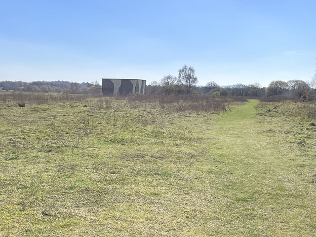
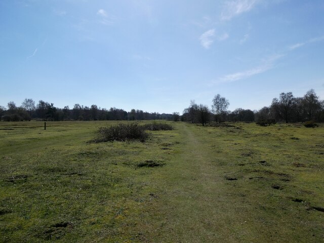
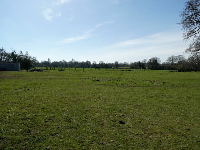
Twemlows Big Wood, located in Shropshire, is a beautiful and expansive forest that covers a significant area of land. This wood is renowned for its natural beauty and tranquil atmosphere, attracting both locals and tourists alike.

The wood is predominantly made up of a diverse range of tree species, including oak, beech, and birch. These majestic trees provide a stunning canopy that filters the sunlight, creating a dappled effect on the forest floor. The rich biodiversity of the wood supports a wide variety of wildlife, making it a haven for nature enthusiasts and birdwatchers.

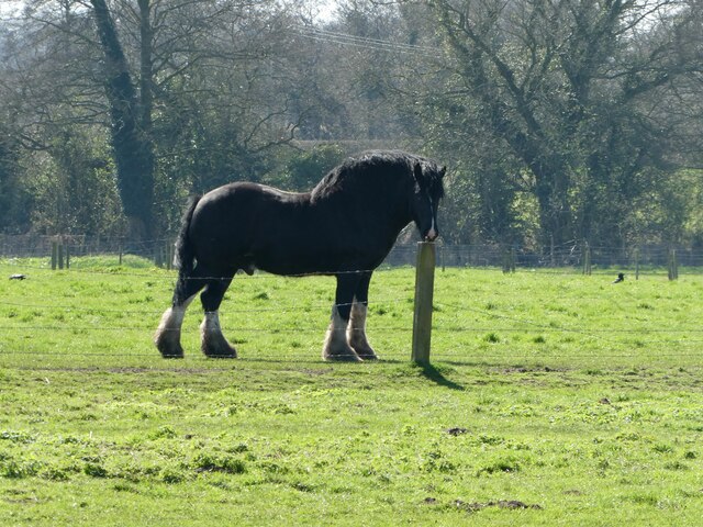
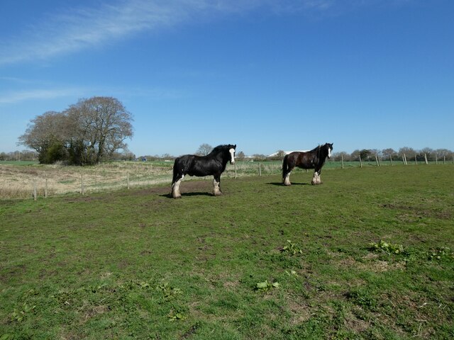
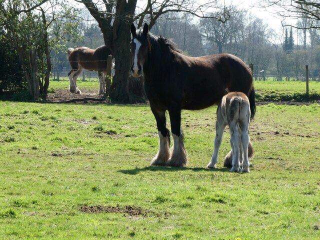
Twemlows Big Wood offers numerous walking trails, allowing visitors to explore the forest at their own pace. The well-maintained paths wind through the wood, providing glimpses of picturesque landscapes, serene ponds, and babbling brooks. Along the way, one may encounter various wildlife species such as deer, foxes, and rabbits.

In addition to its natural beauty, the wood also offers recreational activities for visitors. It is a popular spot for picnicking, with designated areas and benches available for visitors to relax and enjoy the surroundings. The wood is also a great place for outdoor enthusiasts to engage in activities such as jogging, cycling, and horseback riding.

Twemlows Big Wood is well-managed and maintained, ensuring the preservation of its natural resources and the protection of its inhabitants. It is a cherished destination for those seeking a peaceful retreat into nature, offering a serene and enchanting experience for all who visit.

If you have any feedback on the listing, please let us know in the comments section below.

Twemlows Big Wood Images

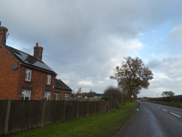
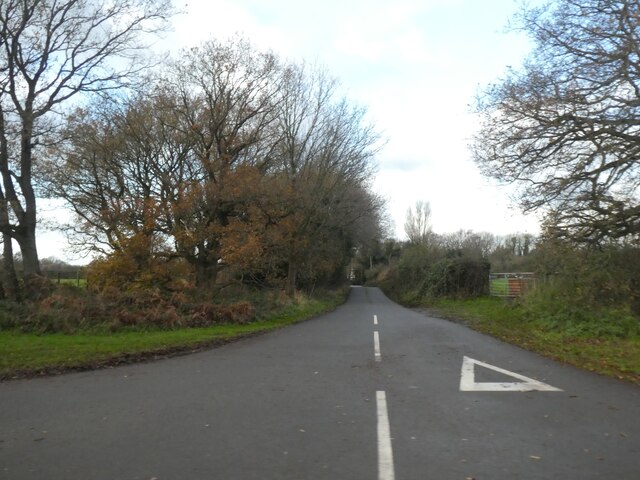
Images are sourced within 2km of 52.920687/-2.640251 or Grid Reference SJ5736. Thanks to Geograph Open Source API. All images are credited.

House and tree by A49 south of Prees Higher Heath The A49 is a major road, which traverses the Welsh Marches region. It runs north from Ross-on-Wye in Herefordshire via Hereford, Leominster, Ludlow, Shrewsbury and Whitchurch, then continues to Warrington and Wigan before terminating at its junction with the A6 road just south of Bamber Bridge, near the junction of the M6, M65 and M61 motorways.
House and tree by A49 south of Prees Higher Heath
The A49 is a major road, which traverses the Welsh Marches region. It runs north from Ross-on-Wye in Herefordshire via Hereford, Leominster, Ludlow, Shrewsbury and Whitchurch, then continues to Warrington and Wigan before terminating at its junction with the A6 road just south of Bamber Bridge, near the junction of the M6, M65 and M61 motorways.
Road to Steel Heath from A49 The A49 is a major road, which traverses the Welsh Marches region. It runs north from Ross-on-Wye in Herefordshire via Hereford, Leominster, Ludlow, Shrewsbury and Whitchurch, then continues to Warrington and Wigan before terminating at its junction with the A6 road just south of Bamber Bridge, near the junction of the M6, M65 and M61 motorways.
Road to Steel Heath from A49
The A49 is a major road, which traverses the Welsh Marches region. It runs north from Ross-on-Wye in Herefordshire via Hereford, Leominster, Ludlow, Shrewsbury and Whitchurch, then continues to Warrington and Wigan before terminating at its junction with the A6 road just south of Bamber Bridge, near the junction of the M6, M65 and M61 motorways.
Prees Heath Common The Shropshire Way winds its steady way past the camouflaged building in the distance. This is the former air control tower used during both world wars, when this flat stretch of heathland was used as an airfield for RAF Tilstock. Prees Heath Common is now a Site of Special Scientific Interest, best known for the silver-studded blue butterfly which thrives in this heathland habitat.
Prees Heath Common
The Shropshire Way winds its steady way past the camouflaged building in the distance. This is the former air control tower used during both world wars, when this flat stretch of heathland was used as an airfield for RAF Tilstock. Prees Heath Common is now a Site of Special Scientific Interest, best known for the silver-studded blue butterfly which thrives in this heathland habitat.
Part of the Shropshire Way at Prees Heath near Whitchurch An old RAF station during the war. Only the concrete control tower remains. Wikipedia <span class="nowrap"><a title="https://en.wikipedia.org/wiki/Whitchurch_(Tilstock)_Airfield" rel="nofollow ugc noopener" href="https://en.wikipedia.org/wiki/Whitchurch_(Tilstock)_Airfield">Link</a><img style="margin-left:2px;" alt="External link" title="External link - shift click to open in new window" src="https://s1.geograph.org.uk/img/external.png" width="10" height="10"/></span> here.
Part of the Shropshire Way at Prees Heath near Whitchurch
An old RAF station during the war. Only the concrete control tower remains. Wikipedia LinkExternal link here.
On the Shropshire Way at Prees Heath Previously RAF Tilstock.
On the Shropshire Way at Prees Heath
Previously RAF Tilstock.
Compound beside the Shropshire Way at Prees Heath Equerry Horse Feeds.
Compound beside the Shropshire Way at Prees Heath
Equerry Horse Feeds.
The Shropshire Way at Prees Heath A joy to walk.
The Shropshire Way at Prees Heath
A joy to walk.
Fields beside the Shropshire Way These fields or paddocks proved to be full of cart horses.
Fields beside the Shropshire Way
These fields or paddocks proved to be full of cart horses.
Horse near the Shropshire Way A massive neck and lots of poise, could this be an Ardennes horse? Wikipedia article  <span class="nowrap"><a title="https://en.wikipedia.org/wiki/Ardennais" rel="nofollow ugc noopener" href="https://en.wikipedia.org/wiki/Ardennais">Link</a><img style="margin-left:2px;" alt="External link" title="External link - shift click to open in new window" src="https://s1.geograph.org.uk/img/external.png" width="10" height="10"/></span> here.
Horse near the Shropshire Way
A massive neck and lots of poise, could this be an Ardennes horse? Wikipedia article LinkExternal link here.
Draught horses beside the Shropshire Way Gorgeous gentle giants.
Draught horses beside the Shropshire Way
Gorgeous gentle giants.
Mare and foal beside the Shropshire Way in spring Perfect pair.
Mare and foal beside the Shropshire Way in spring
Perfect pair.
A41 at Sandford industrial park
A41 at Upper College
A41 near the sewage works
A41 enters Higher Heath
A41 in Higher Heath
A41 in Higher Heath
A41 at Heathwood Road
A41 at Prees Storage
Show me another place!

Twemlows Big Wood is located at Grid Ref: SJ5736 (Lat: 52.920687, Lng: -2.640251)

Unitary Authority: Shropshire

Police Authority: West Mercia

What 3 Words

///divider.shrug.state. Near Prees, Shropshire

Related Wikis

Prees Higher Heath

Prees Higher Heath (commonly shortened to Higher Heath) is a large village located within the civil parish of Prees in north Shropshire, England. ��2...

Prees Heath Common

Prees Heath Common is a nature reserve near Whitchurch in the county of Shropshire, England. Butterfly Conservation owns and manages this reserve. It comprises...

Whitchurch (Tilstock) Airfield

Whitfield (Tilstock) Airfield is an airfield located in Shropshire, England, close to the village of Prees and 2 miles (3.2 km) east of the village of...

Whitchurch Rural District, Shropshire

Whitchurch was a rural district in Shropshire, England, from 1894 to 1934. It was formed under the Local Government Act 1894 based on part of the Whitchurch...

Nearby Amenities

Located within 500m of 52.920687,-2.640251
Man Made: pumping_station
Lat/Long: 52.919385/-2.6454331
The data included in this document is from www.openstreetmap.org. The data is made available under ODbL.

Have you been to Twemlows Big Wood?

Leave your review of Twemlows Big Wood below (or comments, questions and feedback).