Cononsyth
Settlement in Angus
Scotland
Cononsyth

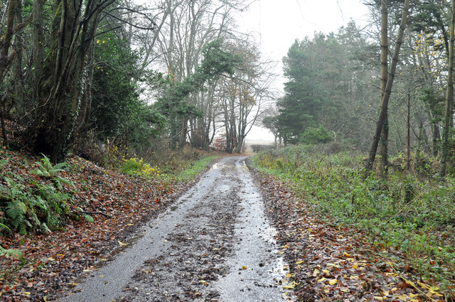
Cononsyth is a small village located in the county of Angus, Scotland. Situated on the east coast of the country, it lies approximately 5 miles northeast of the town of Arbroath. This rural settlement is surrounded by picturesque landscapes, with rolling hills and farmland dominating the area.
The village itself is home to a small population, and its primary economy is centered around agriculture and farming. Traditional stone houses and cottages line the streets, giving Cononsyth a charming and quaint atmosphere.
Cononsyth benefits from its proximity to the Angus coastline, offering residents and visitors access to beautiful sandy beaches and stunning coastal walks. The nearby Lunan Bay is particularly popular among locals and tourists alike, boasting an expansive beach and dunes, as well as a historic castle.
Although Cononsyth may be small in size, it is not lacking in community spirit. The village has a close-knit community with various social activities and events taking place throughout the year. The local primary school plays an essential role in the village, serving as an educational hub for the children of Cononsyth and the surrounding areas.
For those seeking a peaceful and idyllic rural lifestyle, Cononsyth provides a serene and tranquil setting. With its beautiful natural surroundings and friendly community, it is a place that offers a true escape from the hustle and bustle of city life.
If you have any feedback on the listing, please let us know in the comments section below.
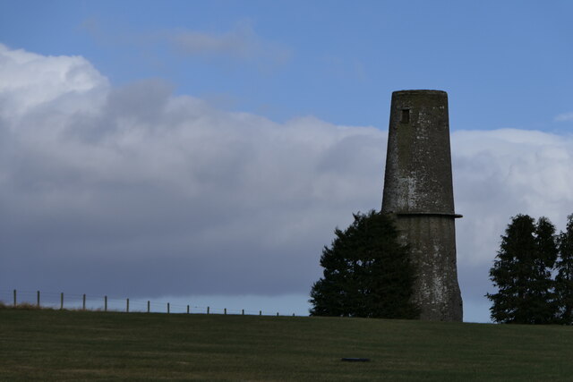
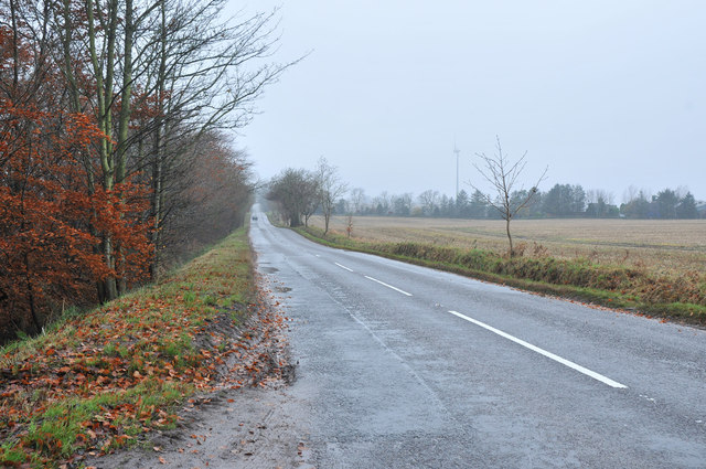
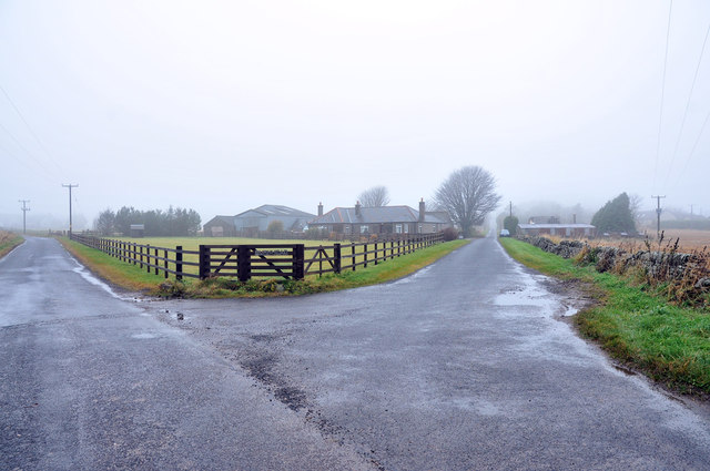
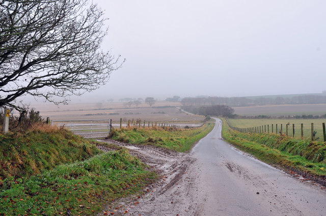
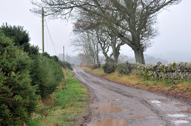
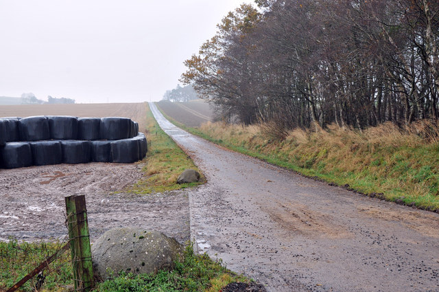
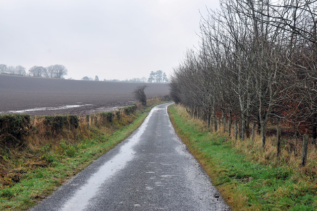
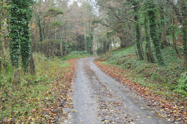
Cononsyth Images
Images are sourced within 2km of 56.603813/-2.7183007 or Grid Reference NO5646. Thanks to Geograph Open Source API. All images are credited.


Cononsyth is located at Grid Ref: NO5646 (Lat: 56.603813, Lng: -2.7183007)
Unitary Authority: Angus
Police Authority: Tayside
What 3 Words
///heightens.cheaper.headers. Near Letham, Angus
Nearby Locations
Related Wikis

Carmyllie railway station
Carmyllie railway station served the town of Carmyllie, Angus, Scotland from 1900 to 1965 on the Carmyllie Railway. == History == The station opened on...

Redford, Angus
Redford is a hamlet in the parish of Carmyllie in Angus, Scotland. It is situated on high ground between Arbroath, on the coast, and the inland county...

Gardyne Castle
Gardyne Castle is a 16th-century tower house in Angus, Scotland. It is located 2 kilometres (1.2 mi) south-west of Friockheim. The castle is still in use...
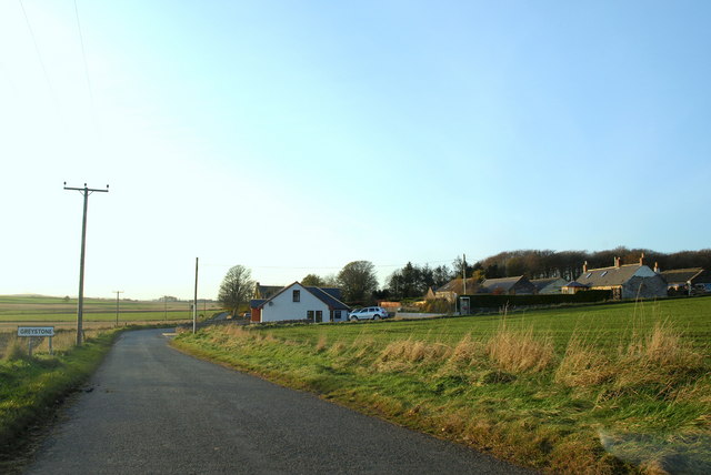
Greystone, Angus
Greystone is a hamlet in Angus, Scotland. It lies between the towns of Carnoustie and Forfar in the parish of Carmyllie. == References ==

Carmyllie
Carmyllie (Gaelic: Càrn Mhoillidh) is a rural parish in Angus, Scotland. It is situated on high ground between Arbroath, on the coast, and the inland county...

Denhead railway station
Denhead railway station served the area of Denhead, Angus, Scotland from 1900 to 1929 on the Carmyllie Railway. == History == The station opened on 1 February...

Guthrie railway station
Guthrie railway station served the village of Guthrie, Angus, Scotland from 1838 to 1955 on the Arbroath and Forfar Railway. == History == The station...

Letham, Angus
Letham (Scots pronunciation: [ˈlɛθəm]) is a village in Angus, Scotland. Letham is the largest village in Angus, with a population of nearly 2,000. Situated...
Nearby Amenities
Located within 500m of 56.603813,-2.7183007Have you been to Cononsyth?
Leave your review of Cononsyth below (or comments, questions and feedback).